

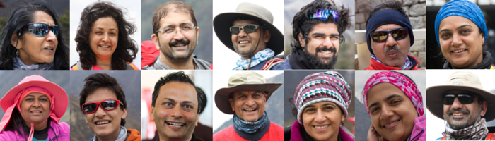
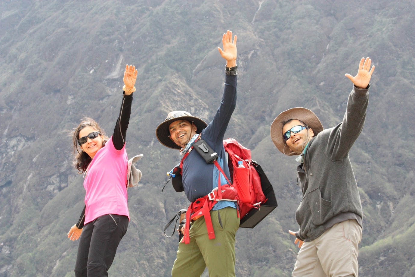
This is a photo blog of my Everest Base Camp trek from May 9-19, 2016. It was my first ever multi-day trek and turned out to be a really memorable one. There were 14 of us from various cities and many of us had never met before!
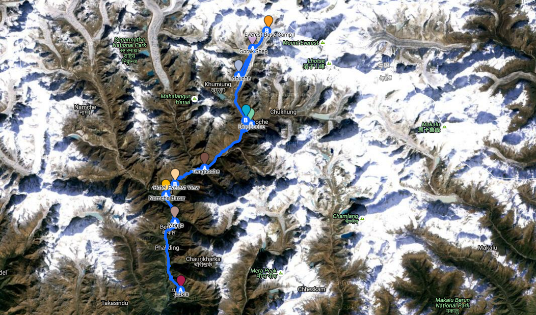
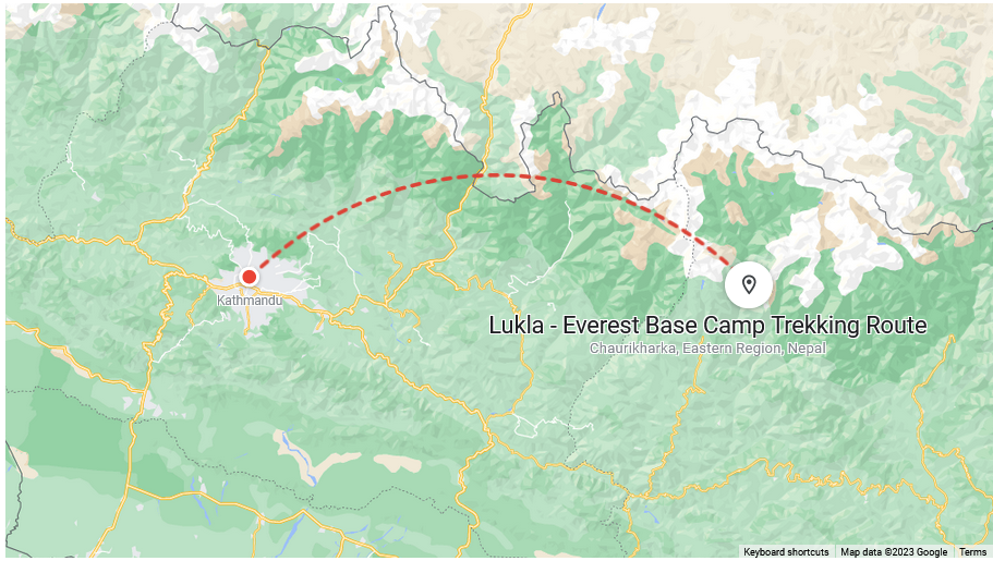
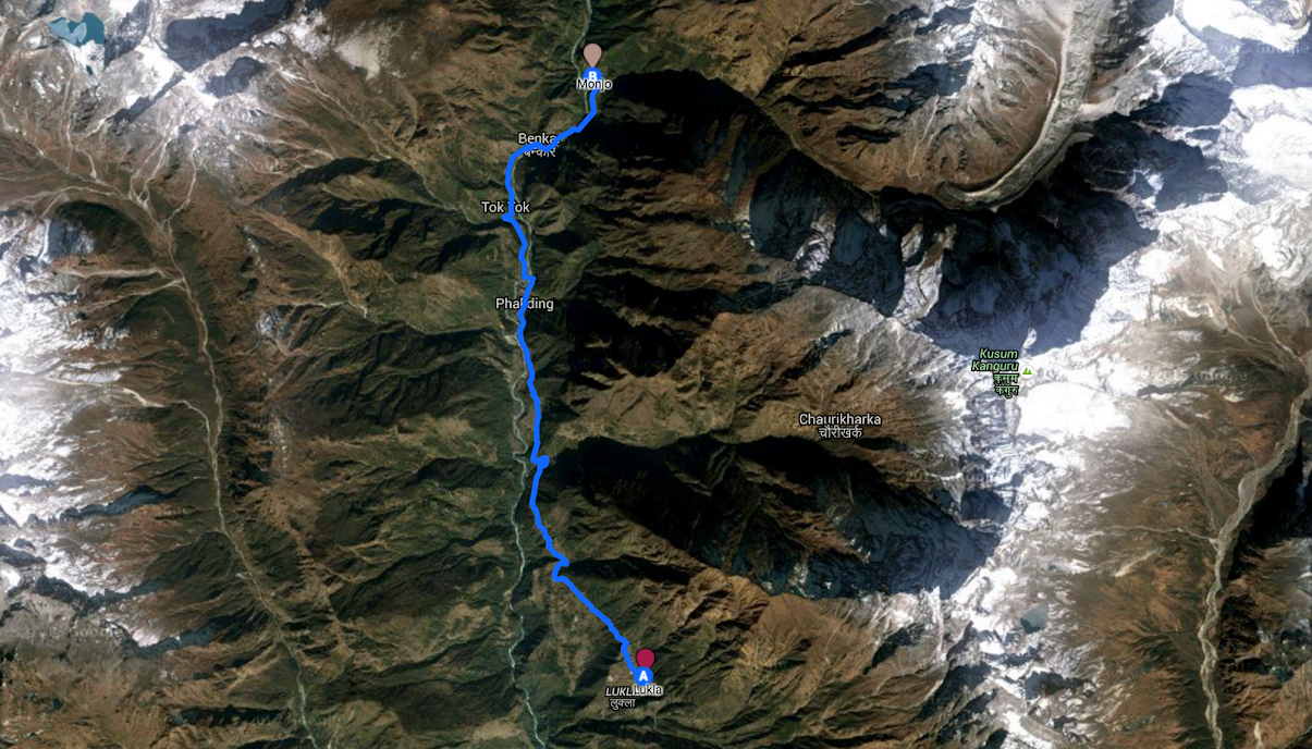
It was a round trip trek from Lukla to the Everest Base Camp totaling about 140km which we completed in 10.5 days, two days ahead of schedule.
We saw some incredible scenery, were awestruck by some of the world’s tallest peaks, met with inspiring trekkers and climbers, pushed ourselves beyond we thought possible and ultimately completed a journey which has really kindled the love of nature in me.
(Tip: Click on a photo to enlarge it or on a video to play it. However, you have to get out of the slideshow mode in order to read the text)
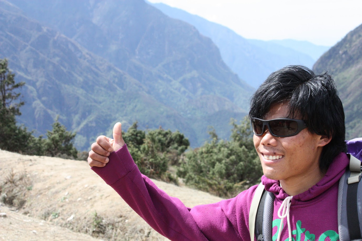
A quick shout out to our trek organizer Base Camp Adventure (www.basecamptreks.com) & Shree Ghimire, our guides (Jwala, Bhim, Tika and Ganesh) and our porters. They went out of their way to make this trek a great experience for us.
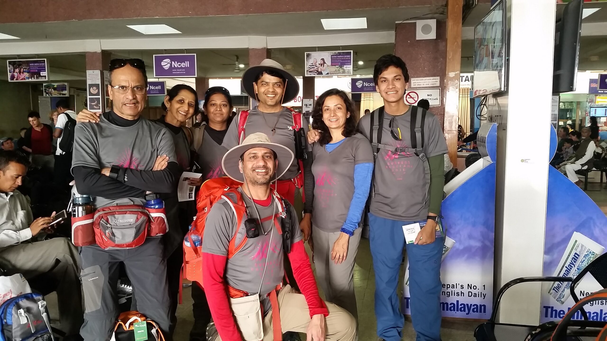
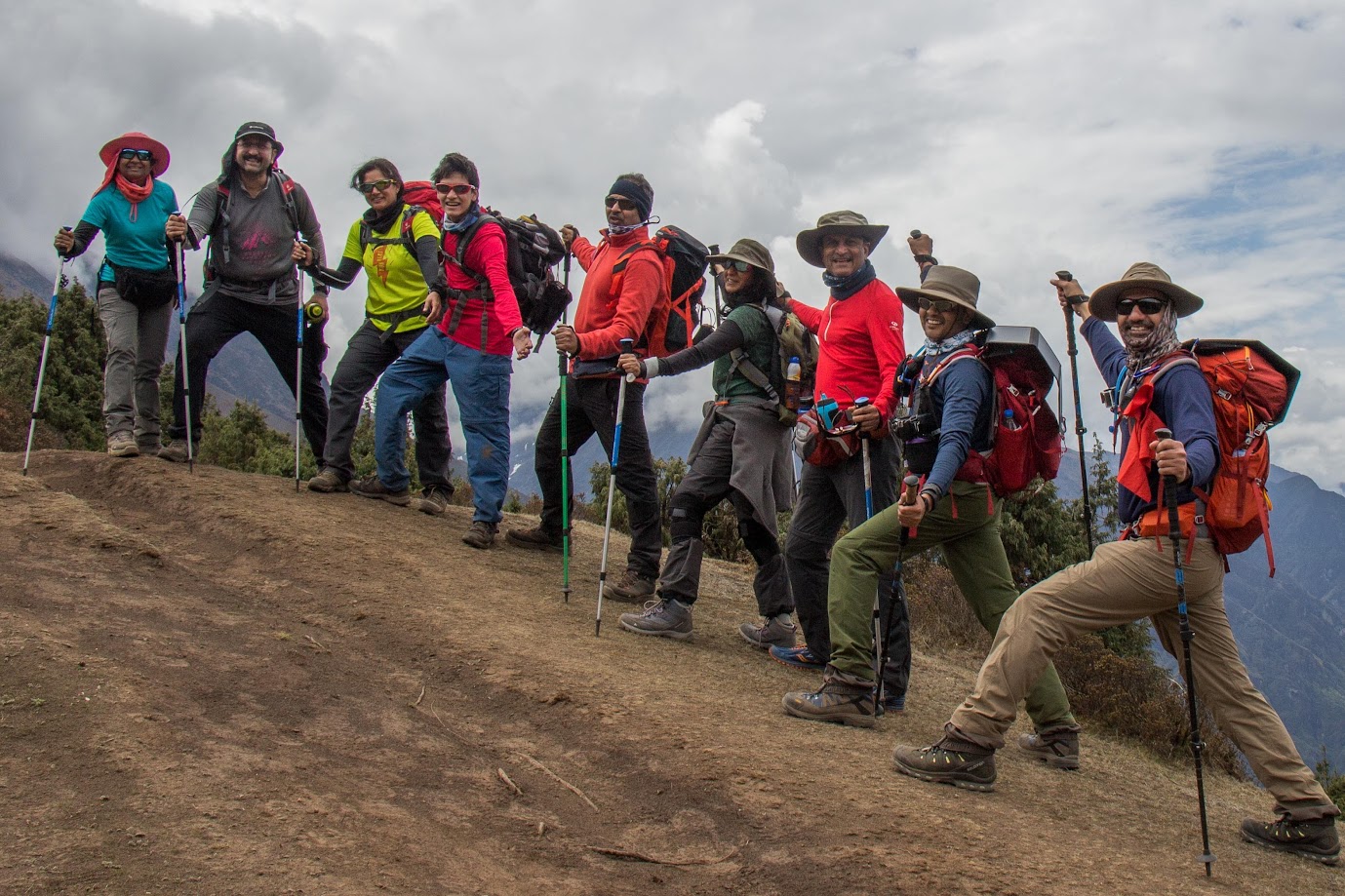
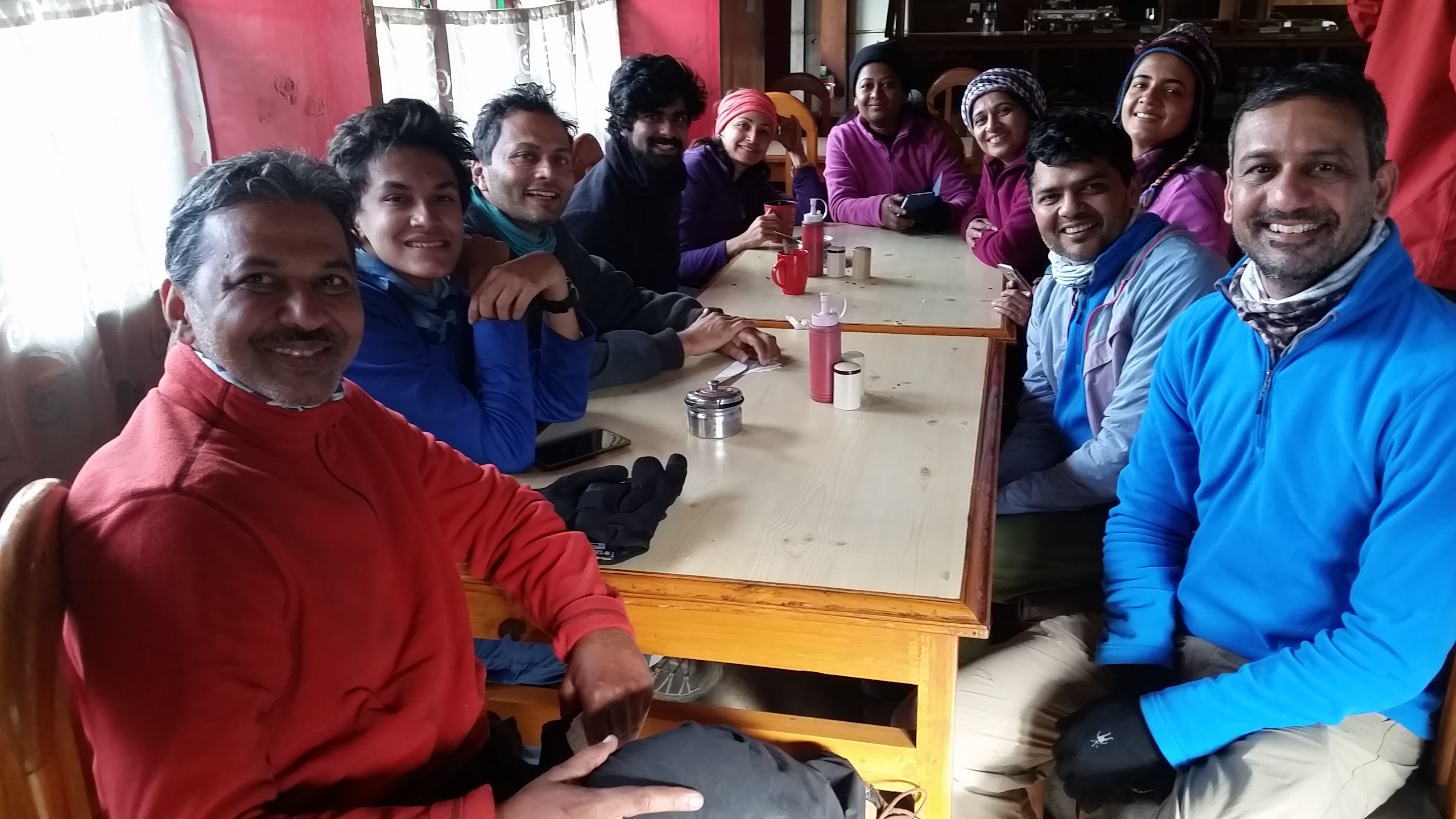
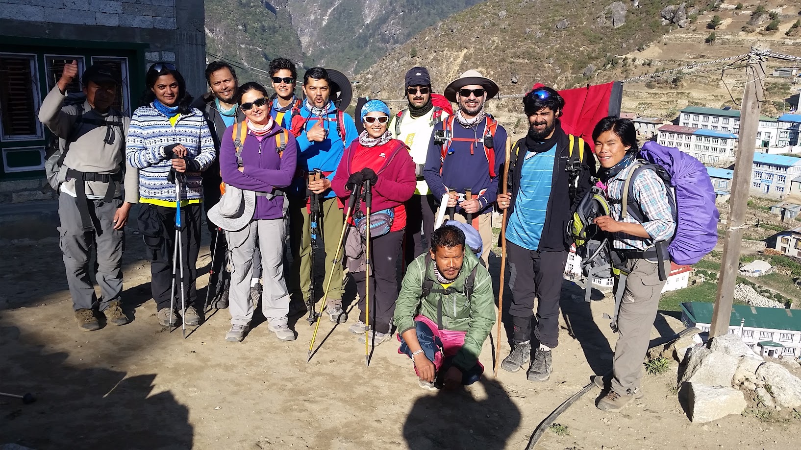
Our Group (from top left, in alphabetical order)
- Anjali Kothari (Pune, India): Special educator, singer, encyclopedic knowledge about flora and fauna
- Anu Palnitkar (Pune, India): Dietician, close friend, super chirpy!, marathon runner
- Bhushan Ranade (Pune, India): Oncologist, super knoweldegable
- Jai Rawat (California, USA): That’s me (Entrepreneur, learning to love outdoors)
- Pranav Mote (Pune, India): Designer, outdoor enthusiast
- Prashant Kankaria (Mumbai, India): Dentist, exceptional whistler!
- Preeti Athavale (Pune, India): Social worker, marathon runner
- Rupali Wadiyar (Hubli, India): Radiologist, great singing voice
- Sahil Palnitkar (Pune, India): Student, guitar player, super smart
- Samir Palnitkar (Pune, India): Entrepreneur, close friend, history buff, super nice guy
- Sudhir Kothari (Pune, India): Top neurologist, great sense of humor, singer/yodeler
- Sujata Mote (Pune, India): Outdoor enthusiast, has been featured in newspapers
- Supriya Gadekar (Pune, India): Radiologist, professional singer – simply amazing voice
- Vikas Gupta (California, USA): Engineer, close friend & training partner, super nice guy
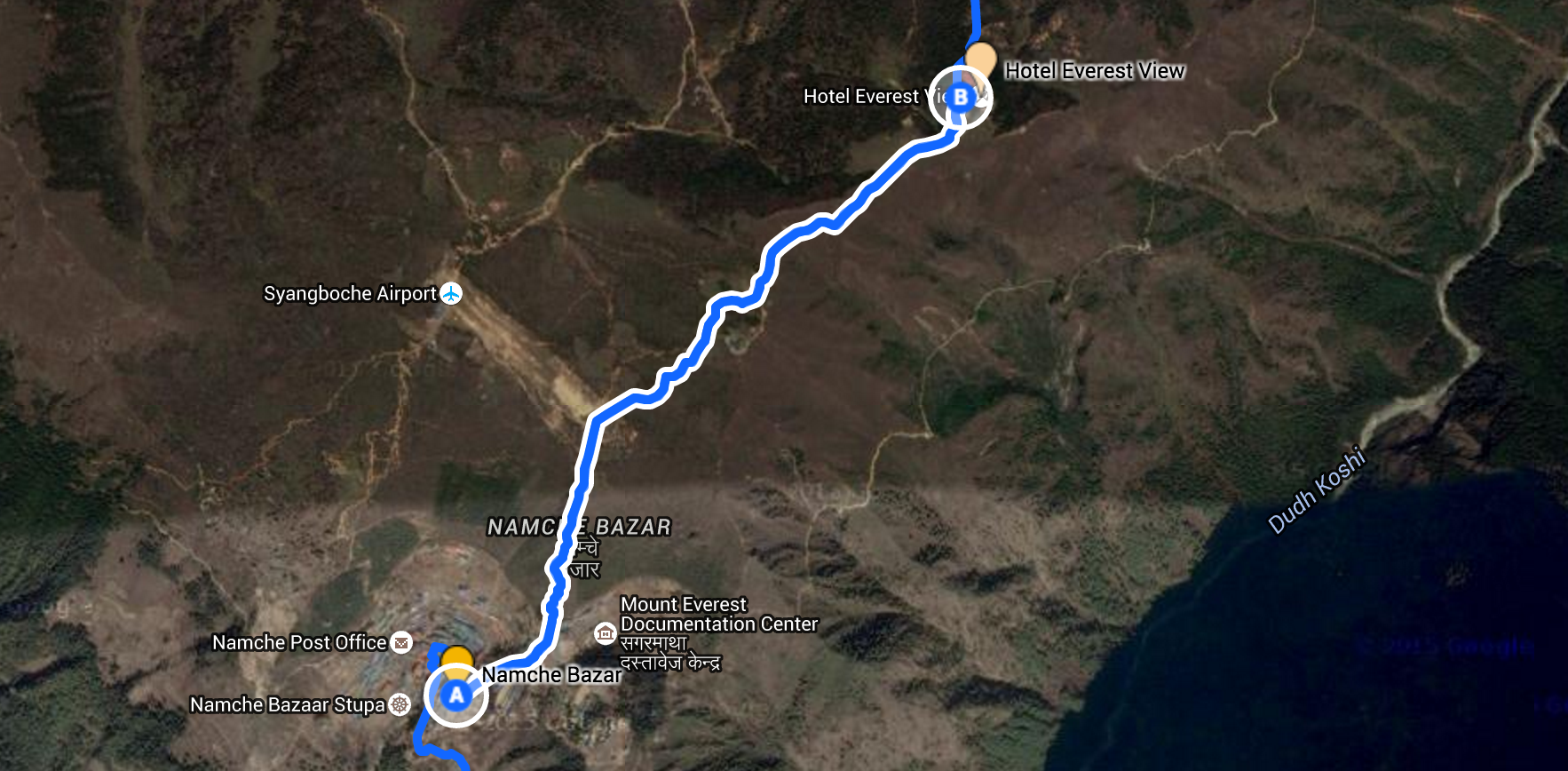
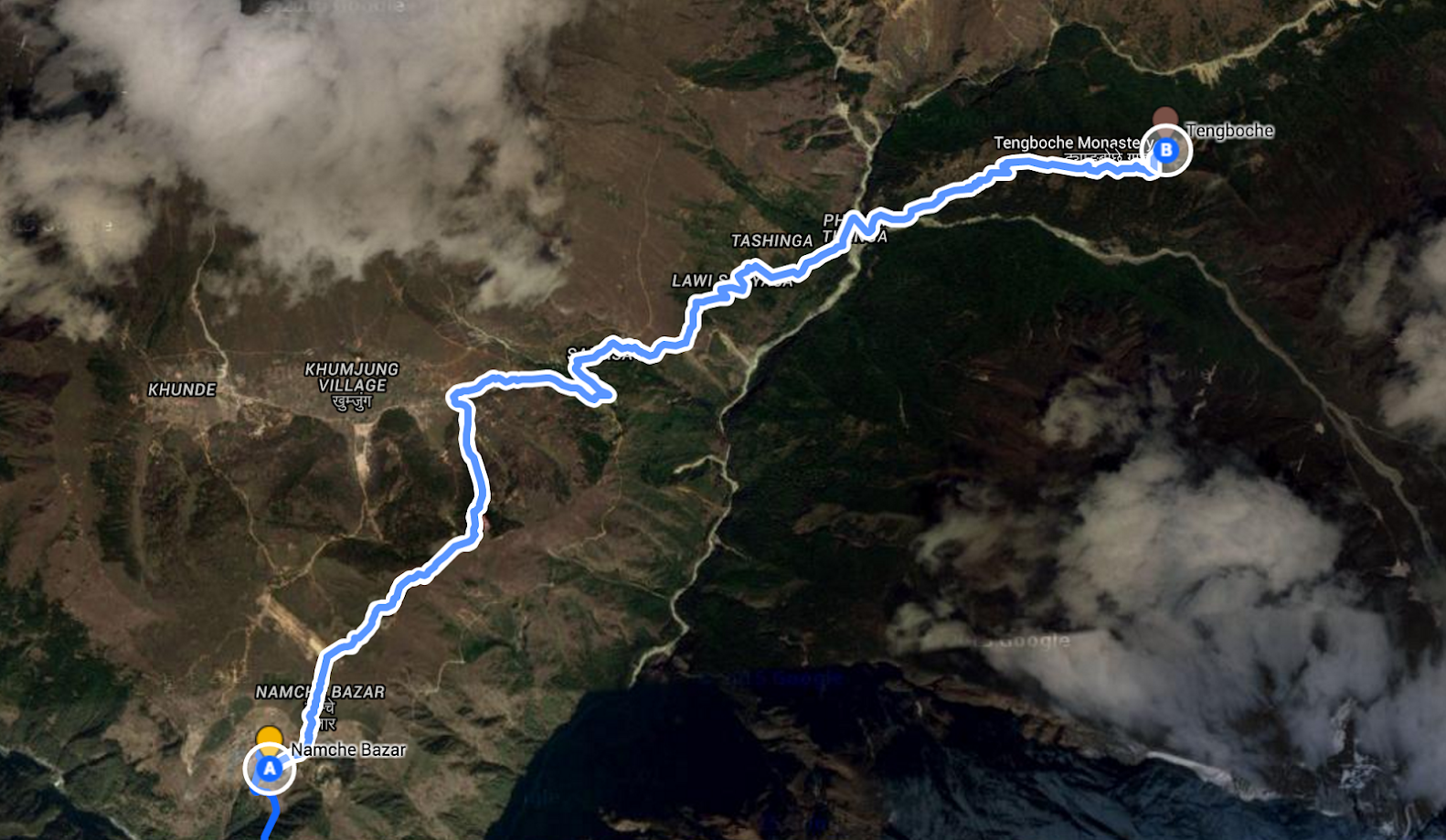
Our complete trek route
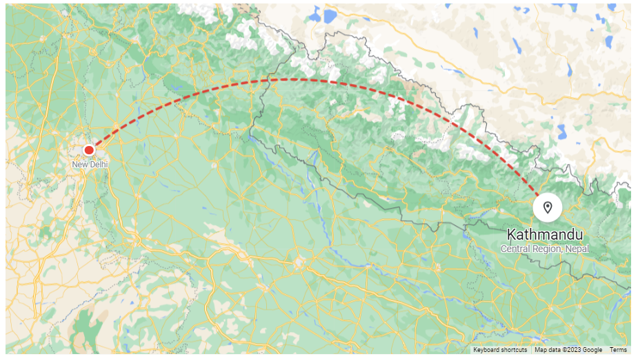
Day 0 (May 8, 2016): Arrived in Kathmandu from New Delhi
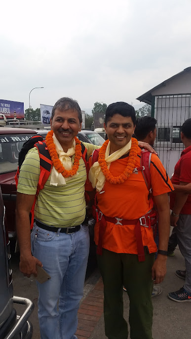
(1:45pm) Hello Kathmandu!
We were welcomed with traditional Nepalese scarves called ‘Khada’, and also with flower garlands. Prashant and I reached Kathmandu around the same time although on different flights. The rest of the gang arrived together from Pune on a later flight.
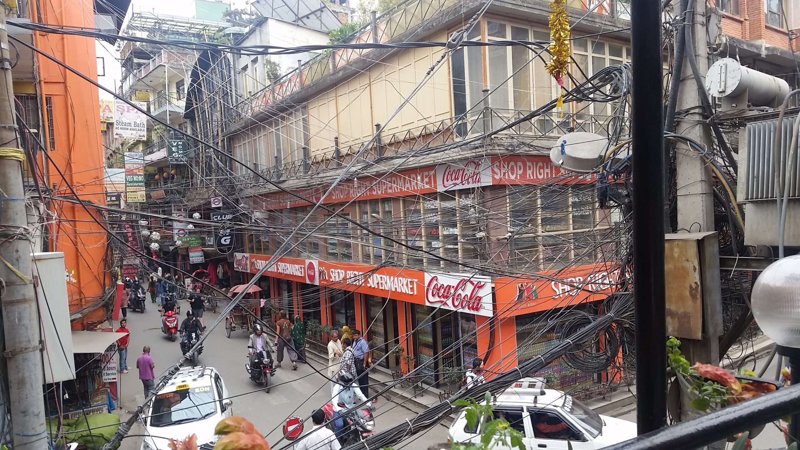
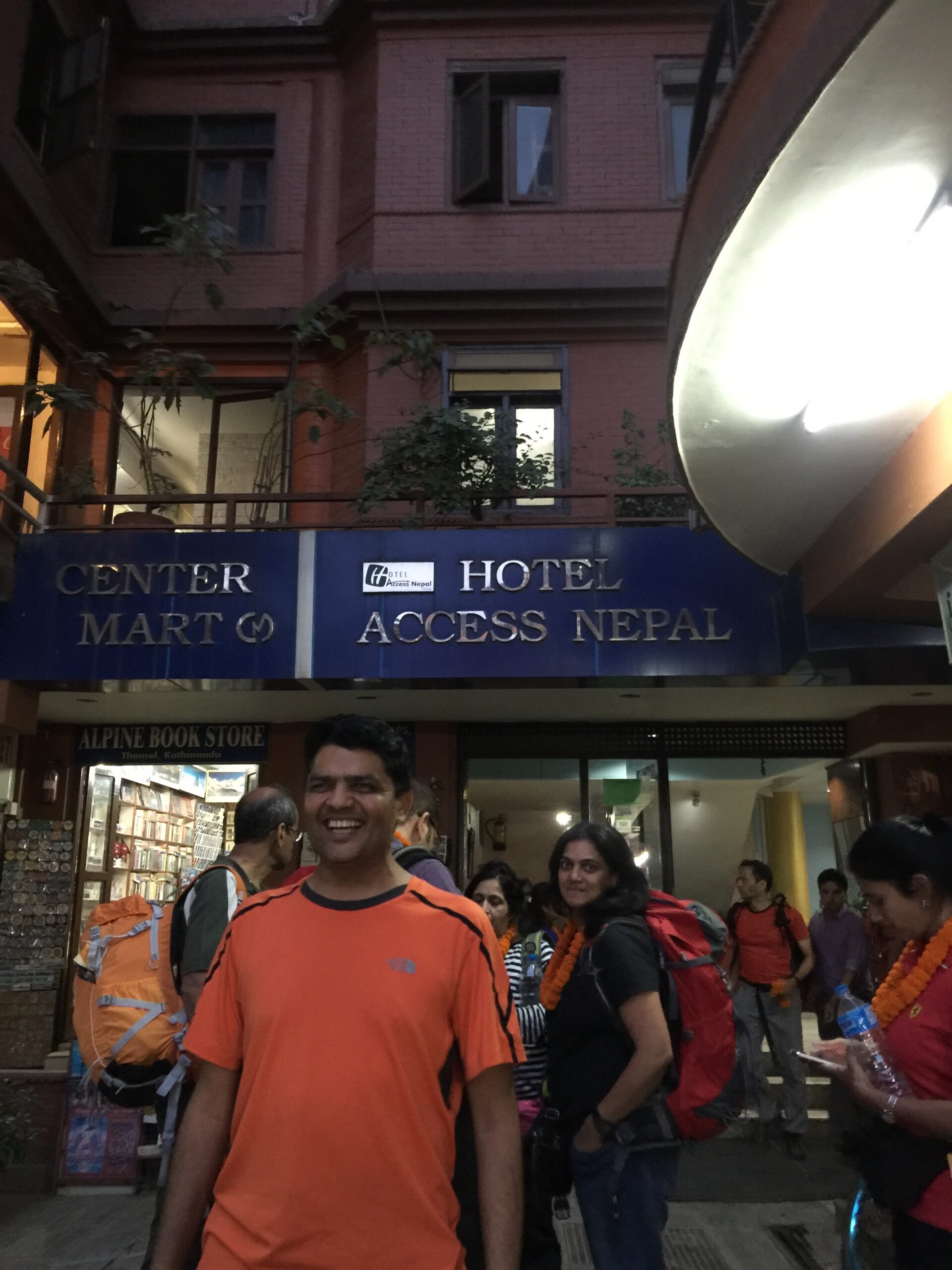
We stayed at the Access Hotel in the Thamel area which is a busy, chaotic place with a lot of shops selling inexpensive but fake branded trekking gear. The quality seemed decent though. Be prepared to bargain!
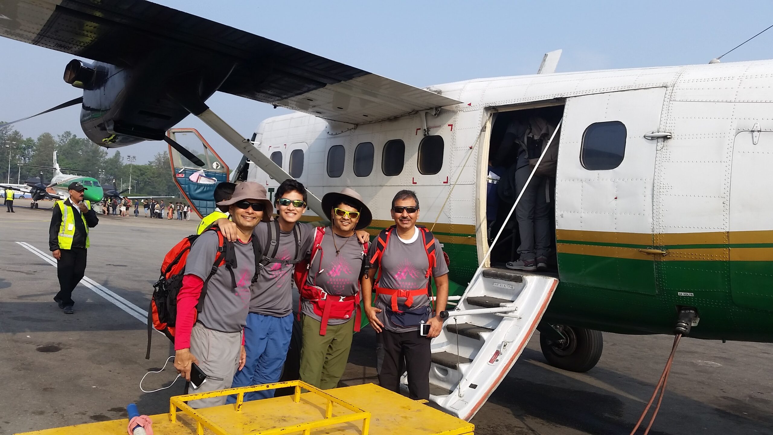
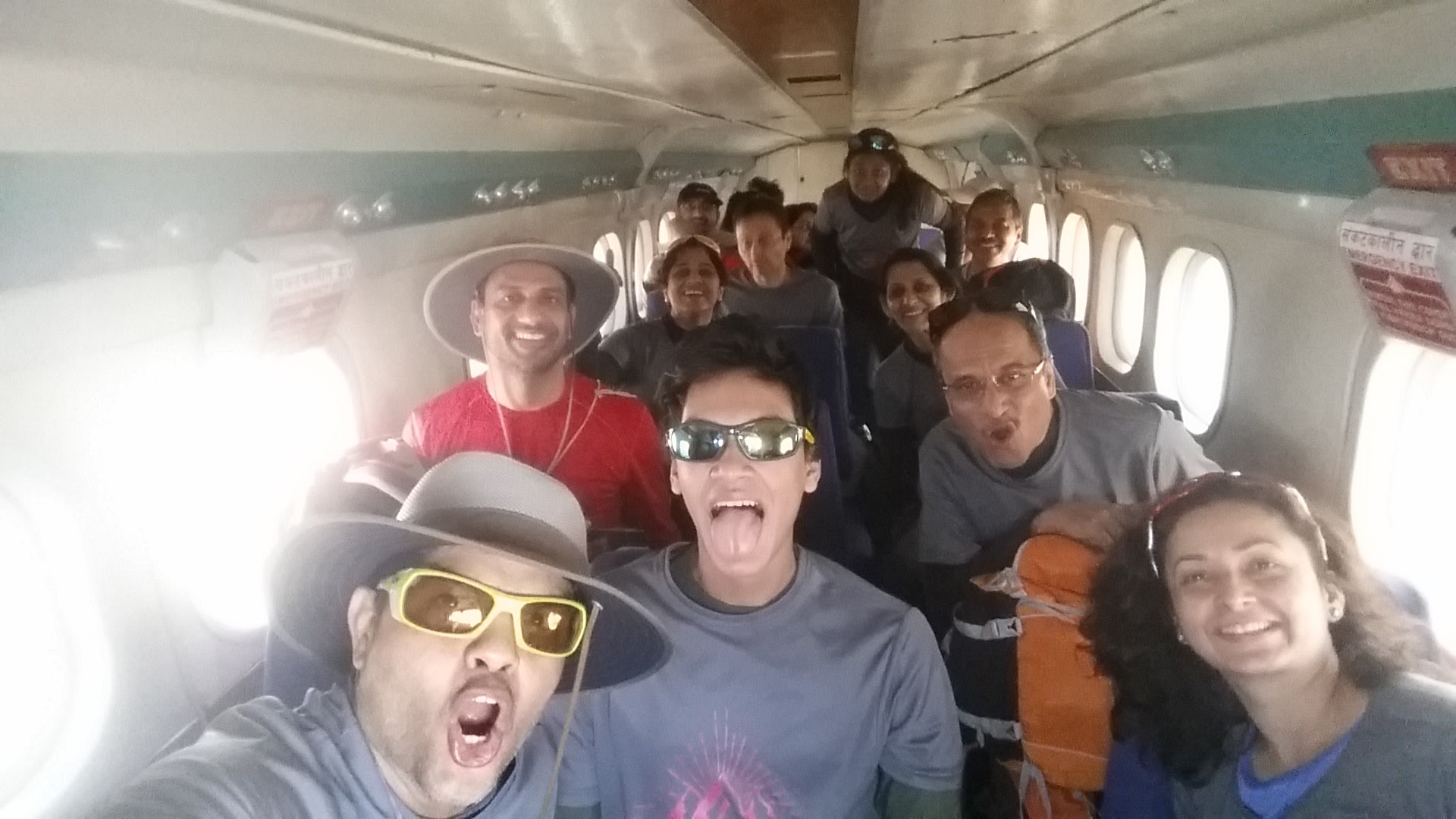
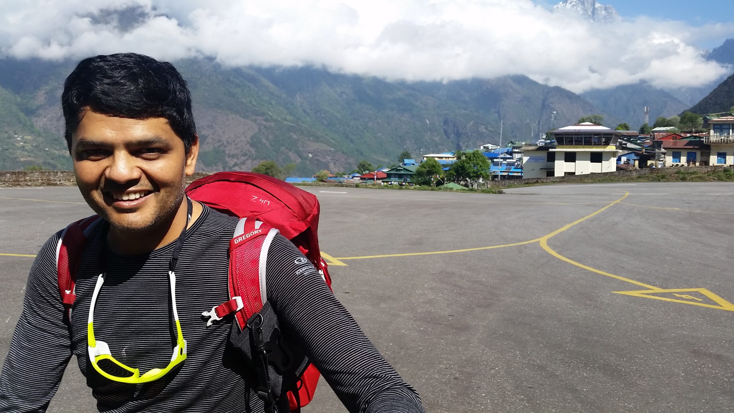
Day 1 (May 9, 2016), morning: Flew from Kathmandu to Lukla in the morning
We flew to Lukla from Kathmandu from a small airport. All of us were wearing the same t-shirt which was custom designed for the trek. You can see the excitement and anticipation on our faces. The plane was really small – a 16 seater. It was perfect for our group. There were 14 of us plus one guide and one air hostess! Practically a chartered flight. It was a noisy plane made even noisier by the constant laughters, impromptu cheers and 14 raucous indians adept at talking louder than the next person to make themselves heard above the din 🙂
The flight gave us a glimpse of the magnificent mountains and valleys that were awaiting us. For the most part we were flying below the altitude we were going to be hiking up to!
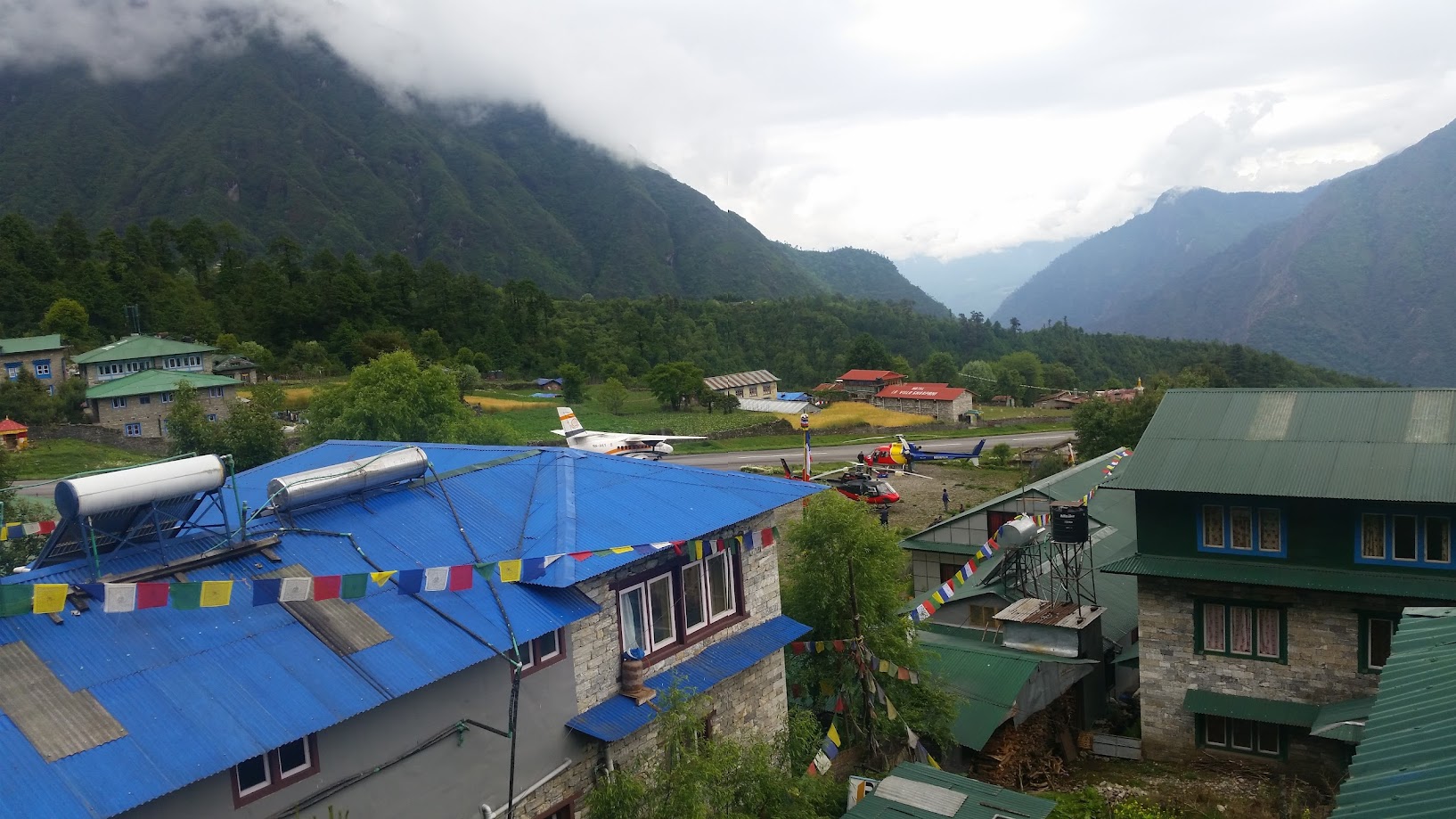
It was a short flight. We left Kathmandu at around 8am and landed in Lukla at around 8:40am
Lukla had the shortest landing strip I have ever seen. It is at an incline to help leverage gravity for landing and take off!
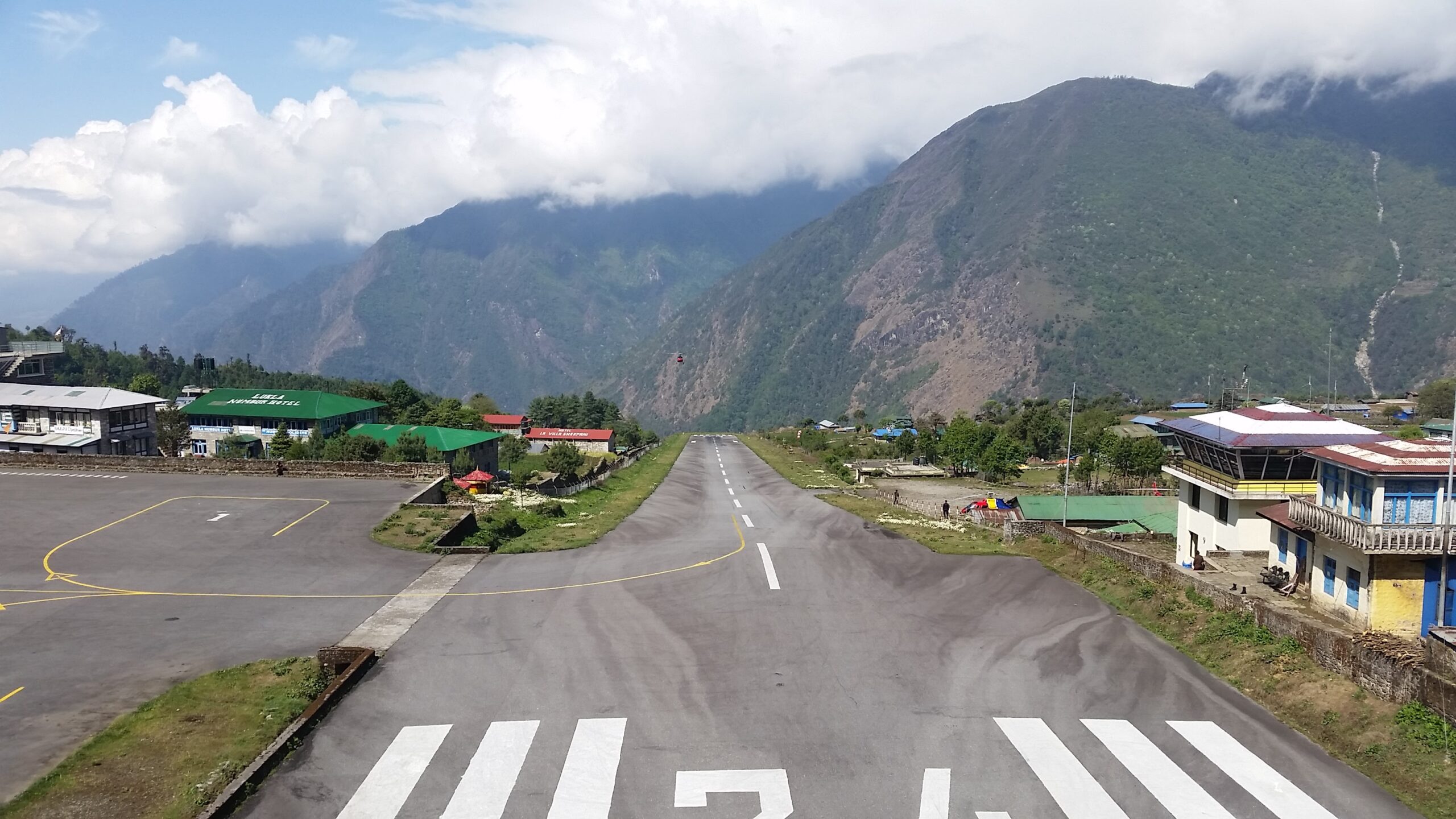
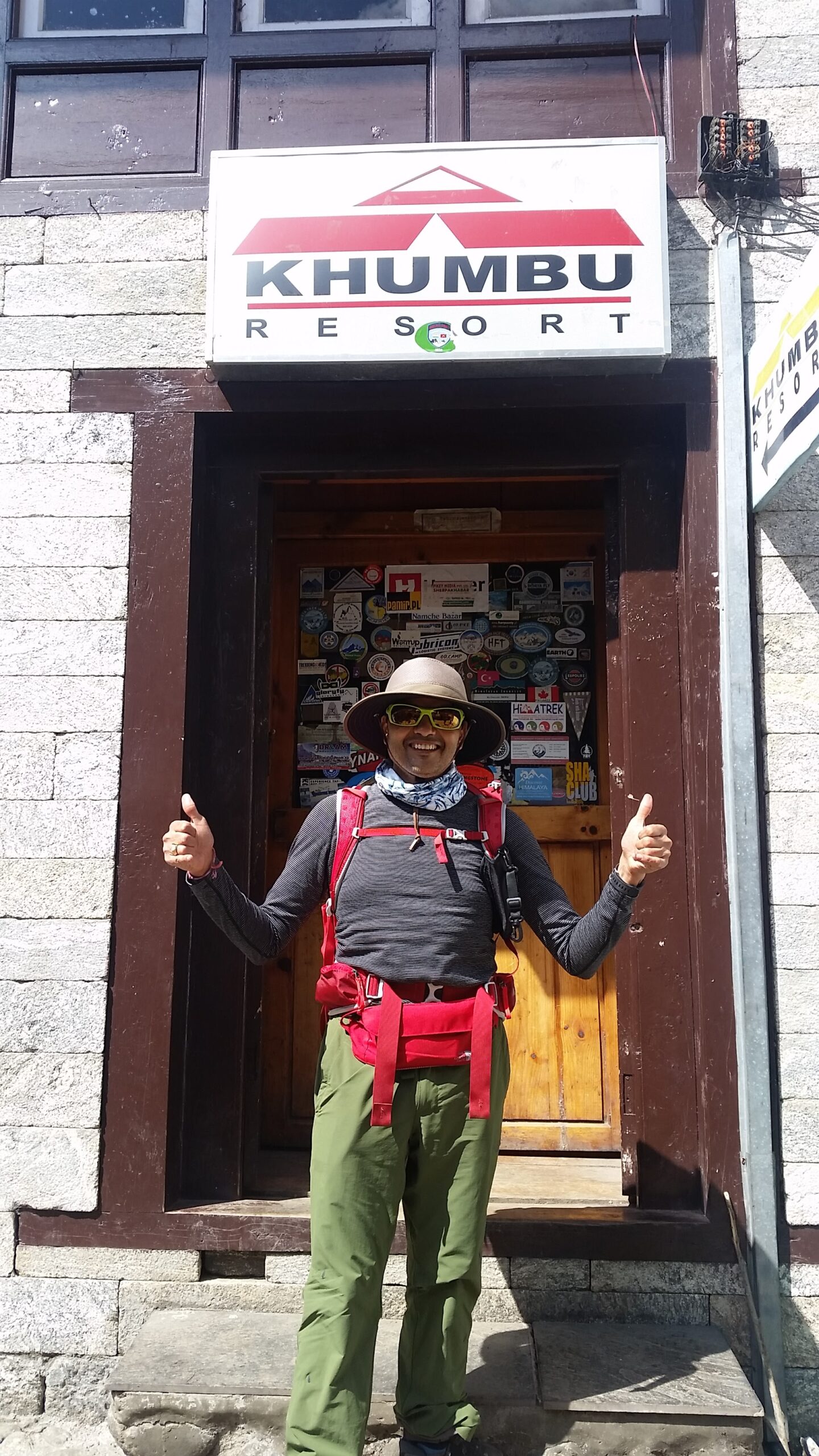
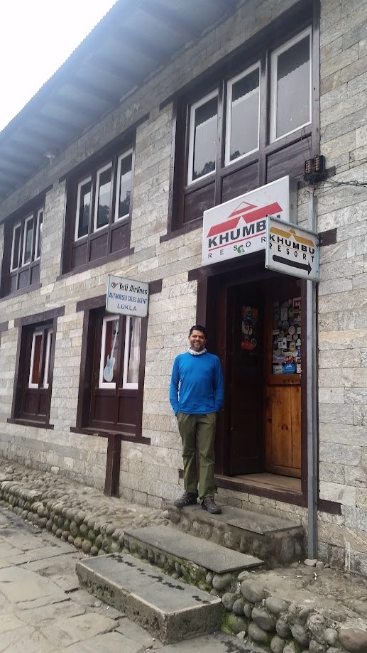
After landing in Lukla we had a brief stop at the Khumbu resort and then started our trek at around 9:45am.
- Start: Lukla. Elevation: 2,860 m / 9,383 ft. Time: 9:45am
- End: Monjo. Elevation: 2,850 m/ 9,350 ft. Time: 6:30pm
- Elevation gain: none
- Distance: 13km (8.8 miles)
- Terrain: Nepali flat! Lots of ups and downs with no elevation gain
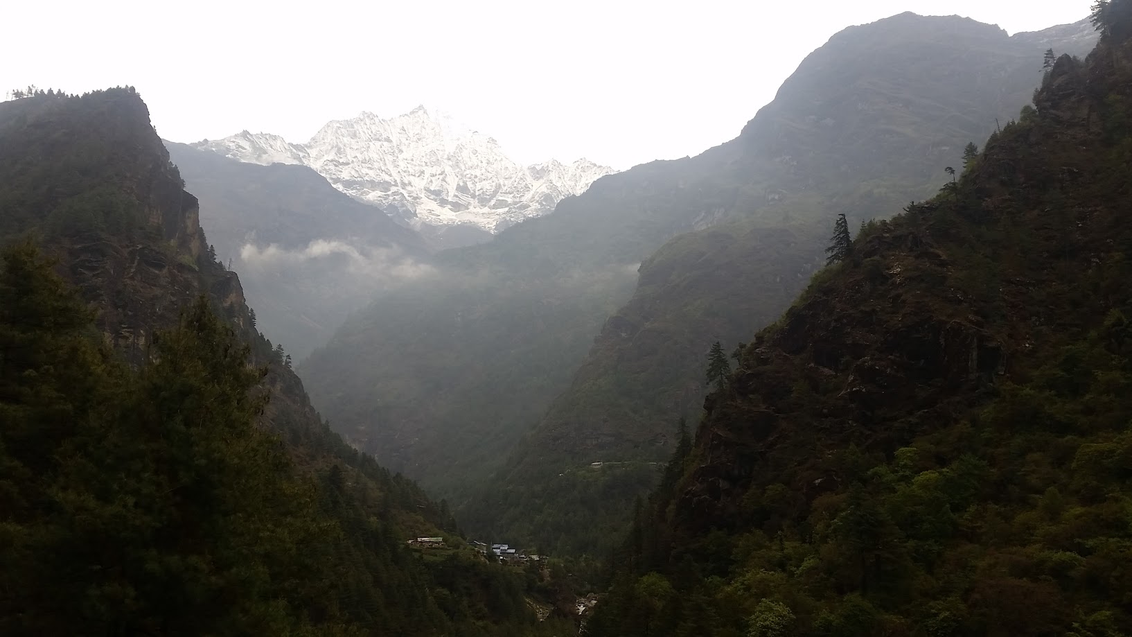
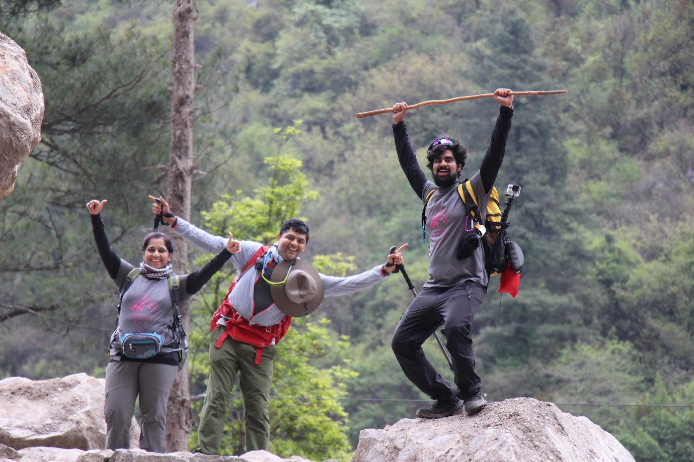
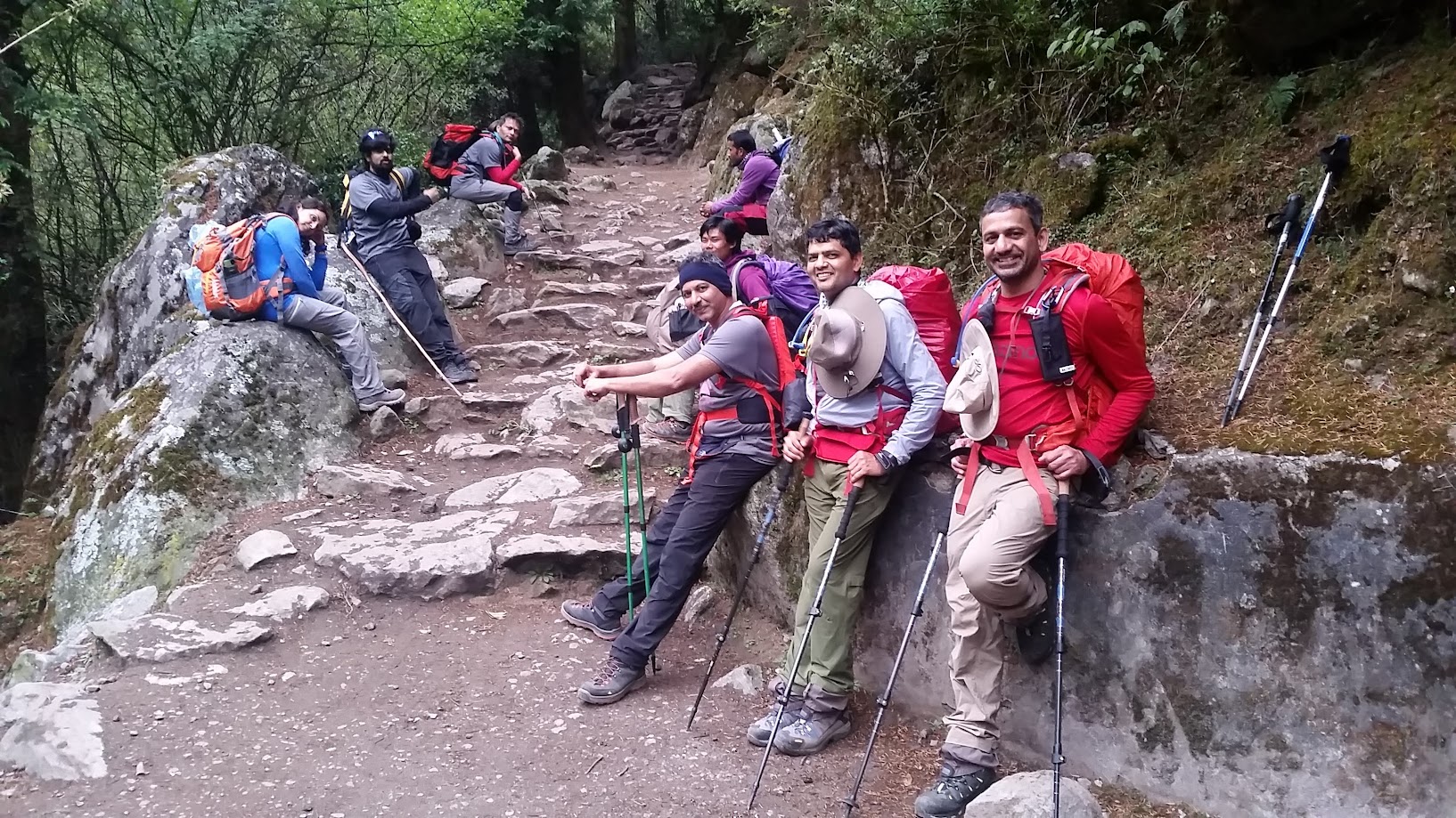
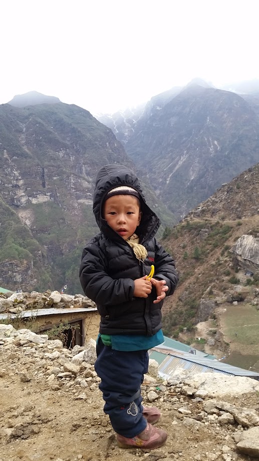
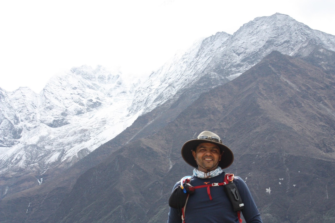
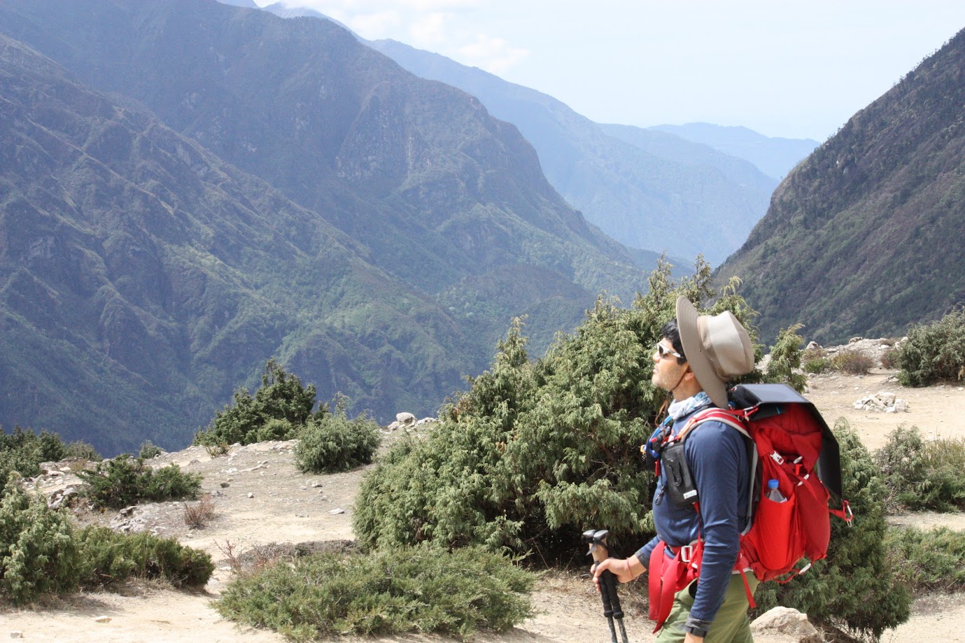
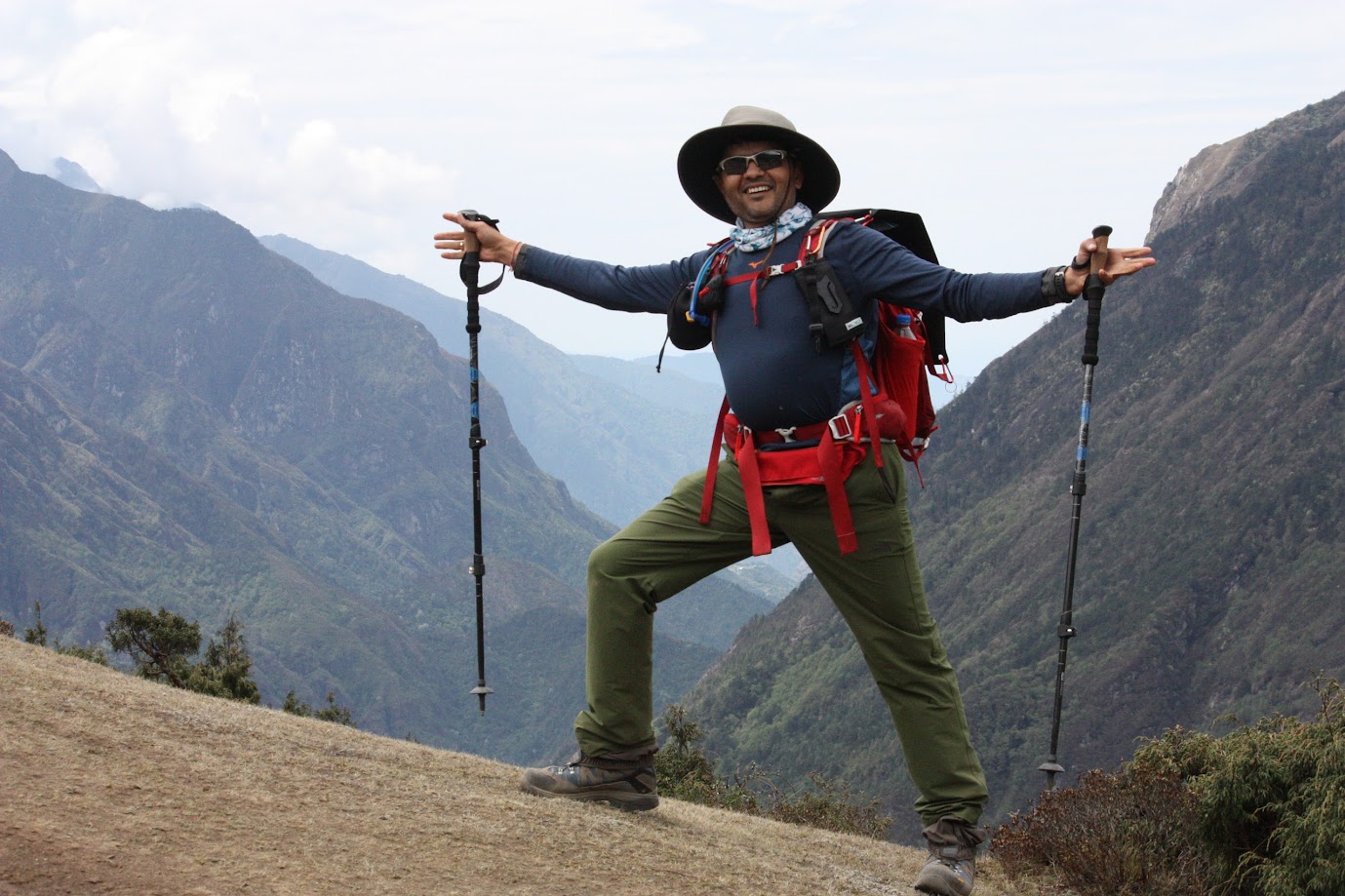
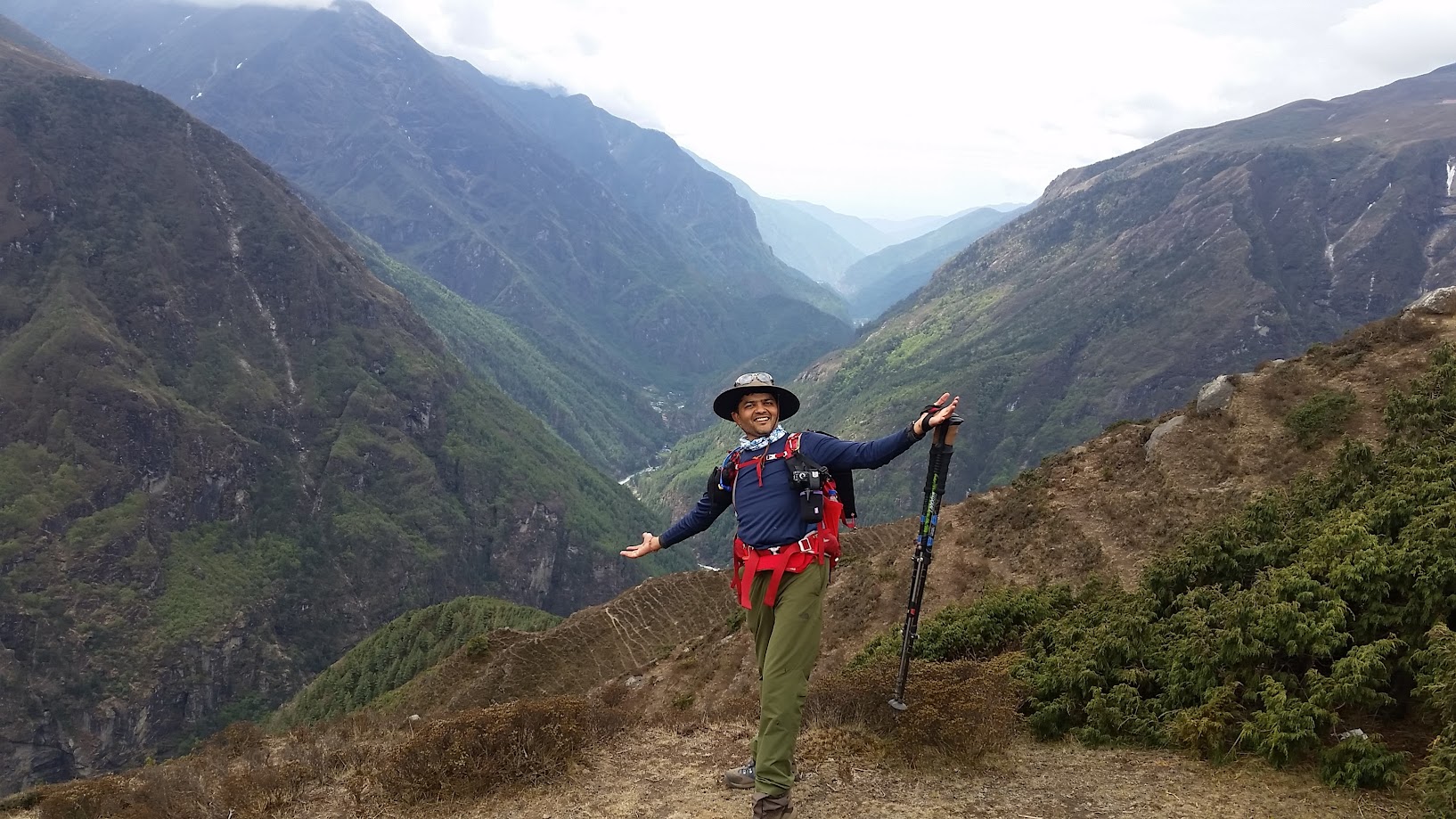
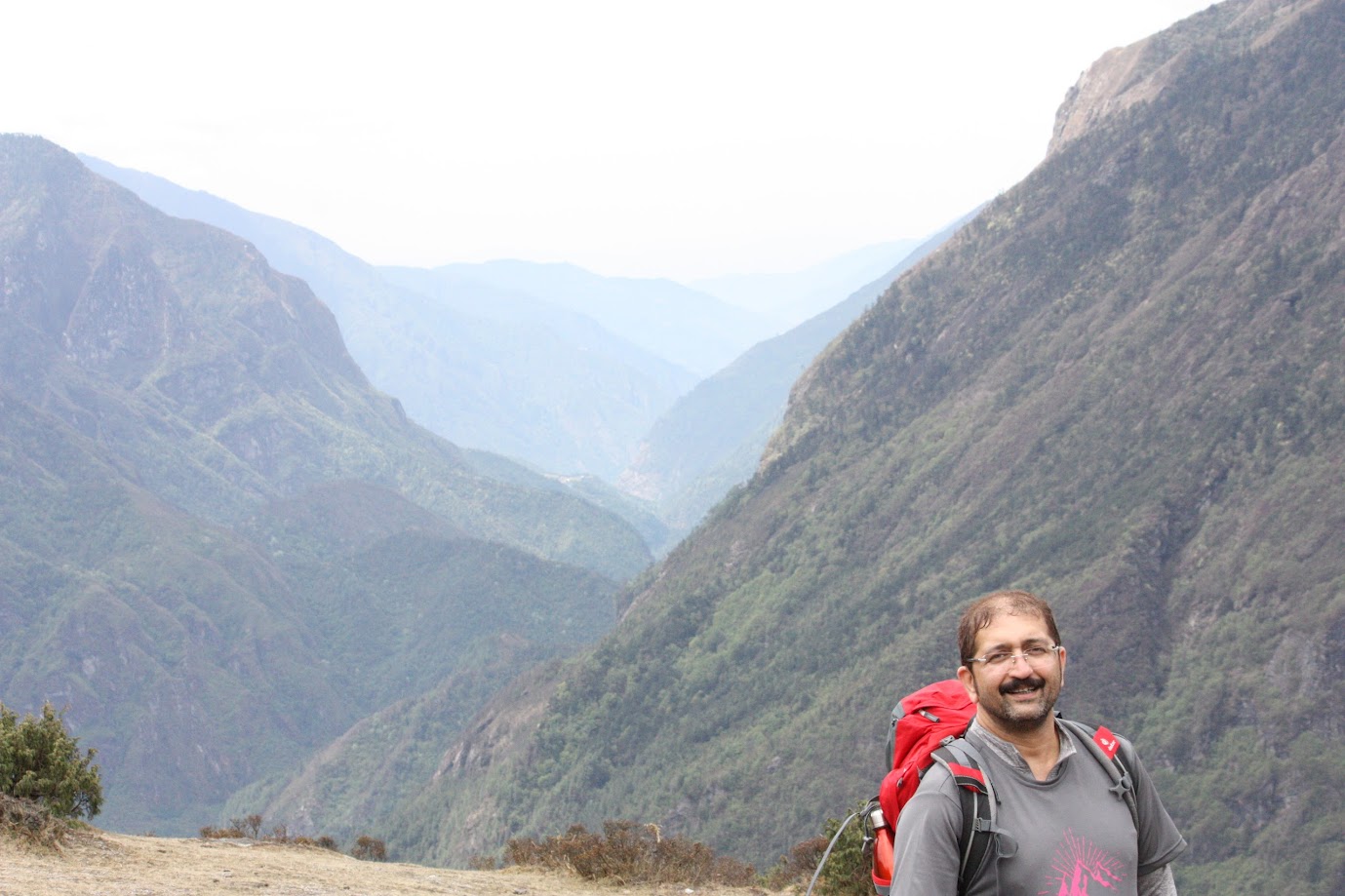
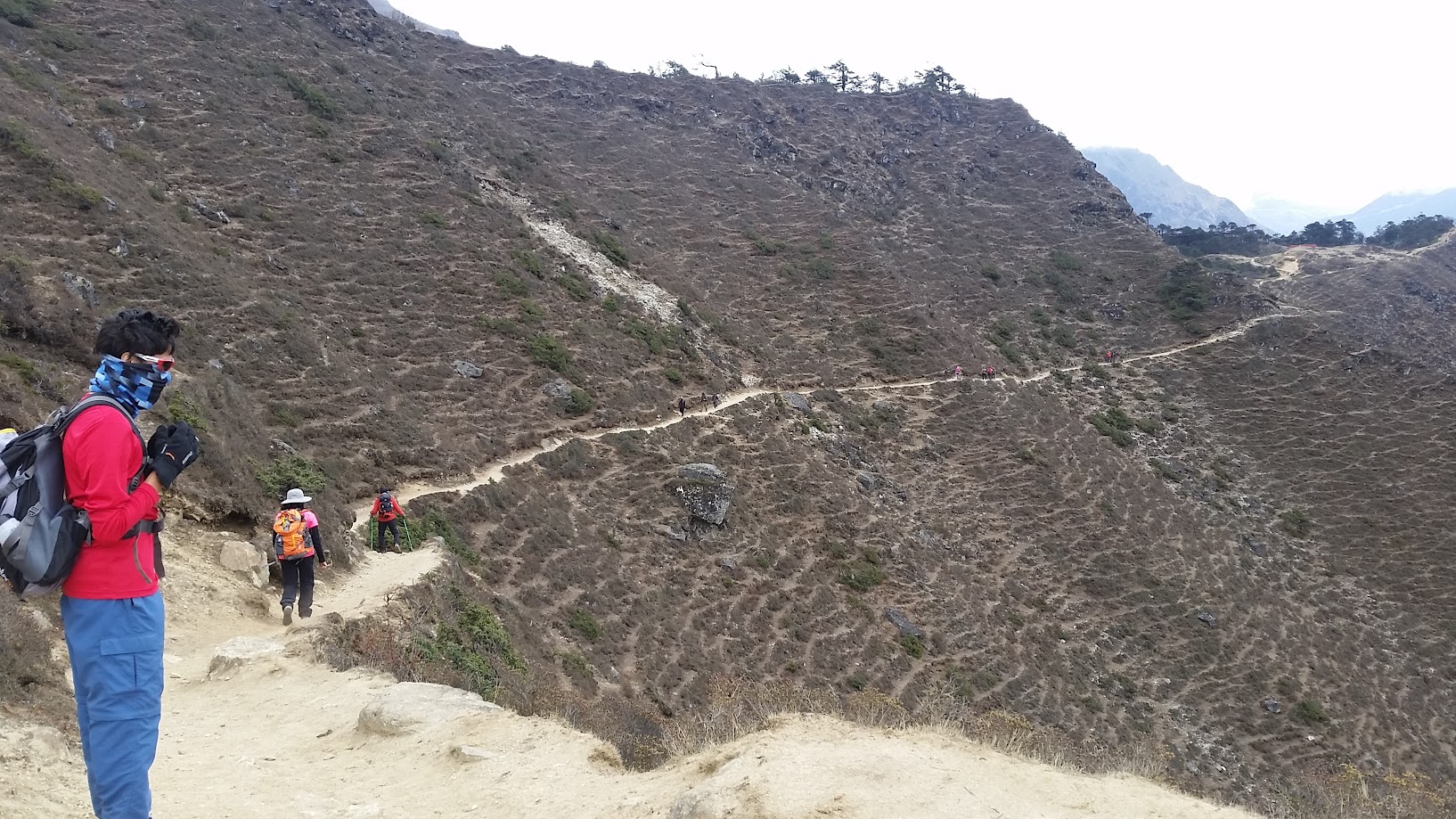
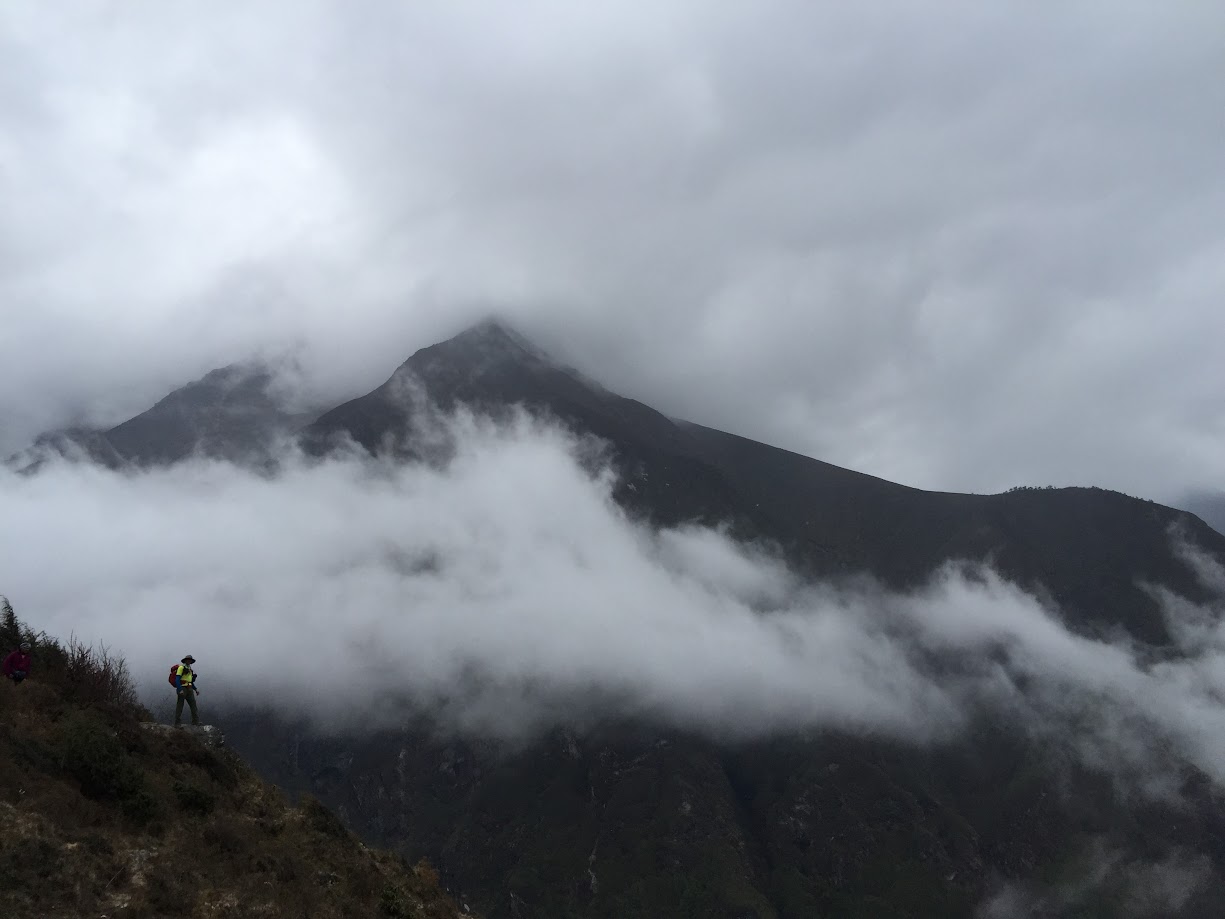
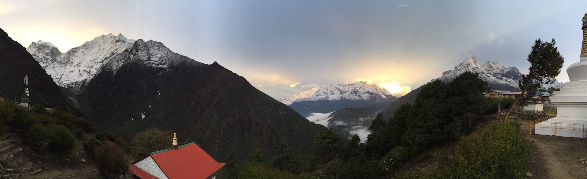
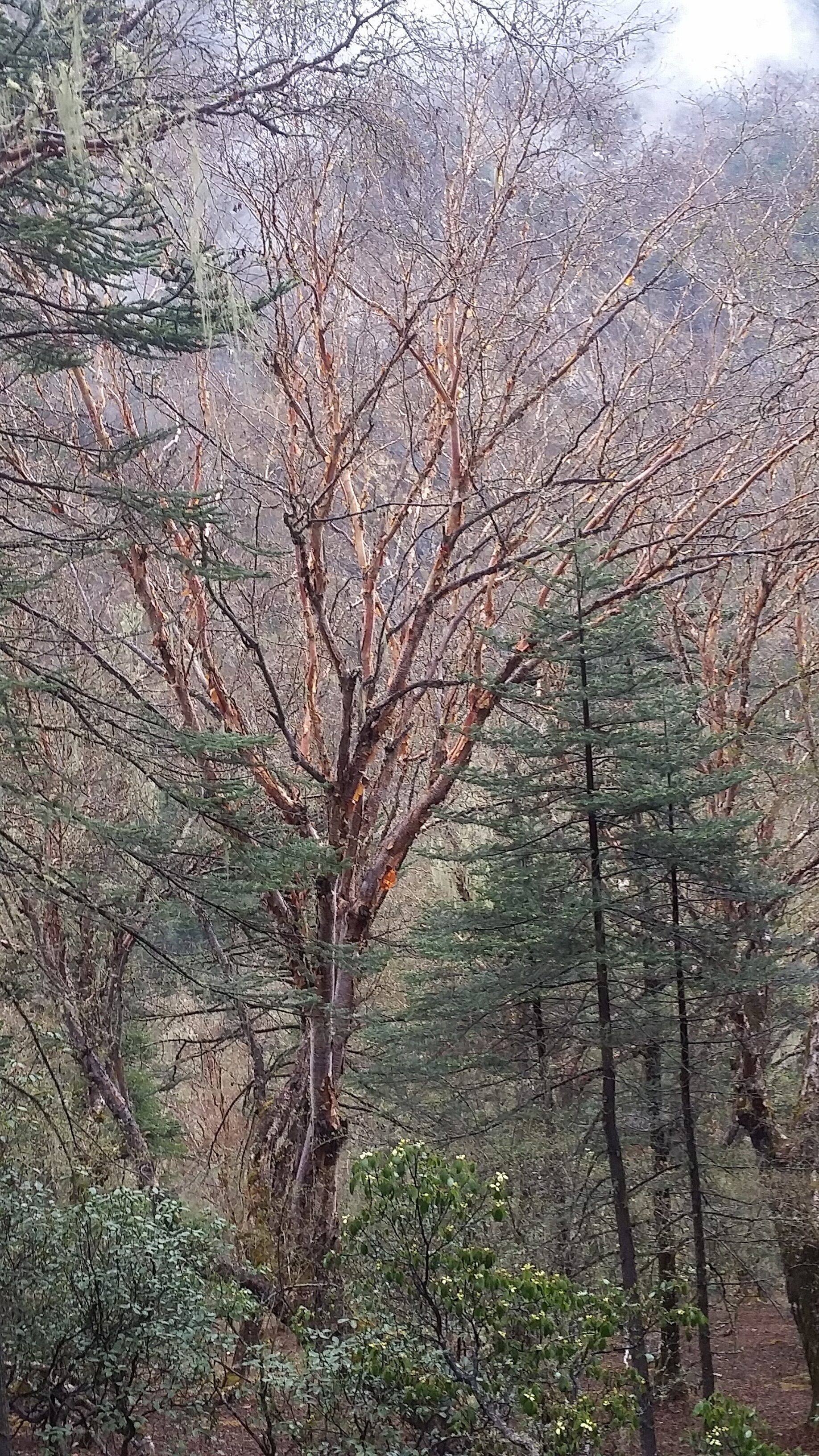
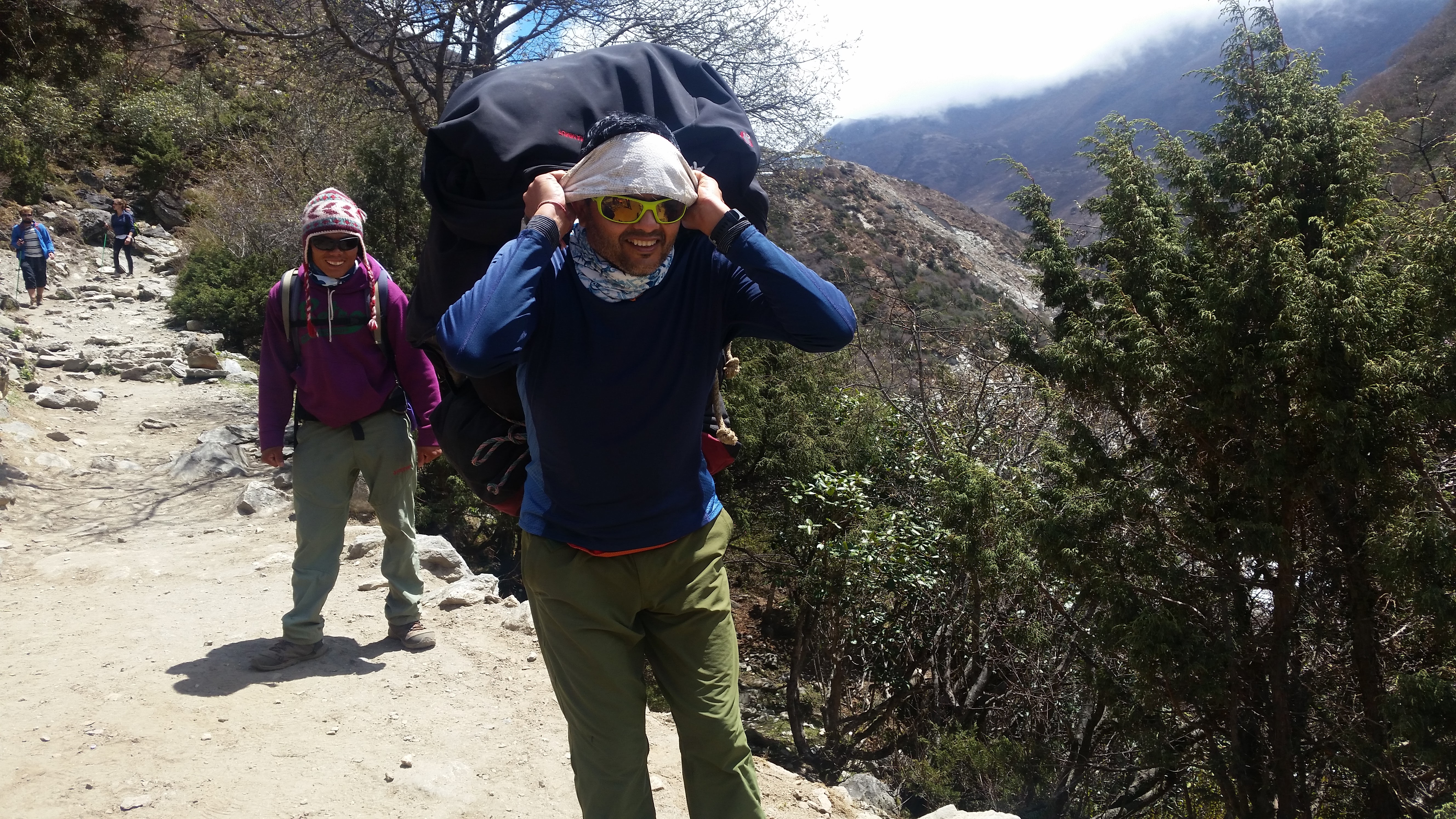
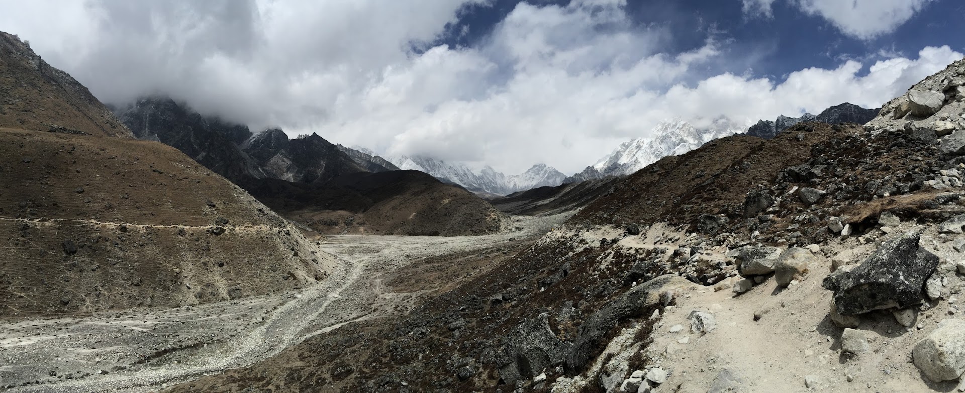
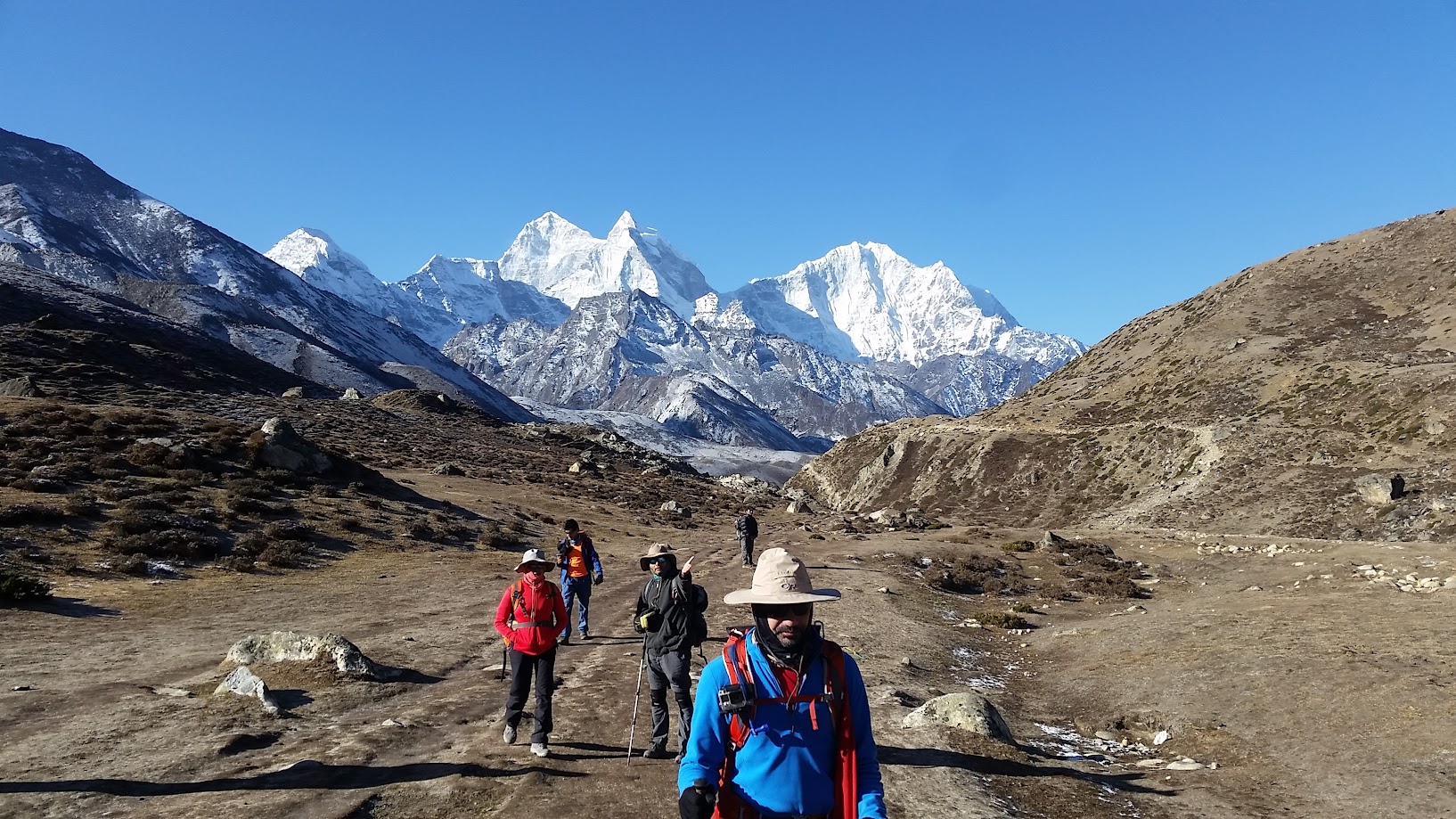
Immediately after starting the trek we were greeted with some stunning scenery which took our breath away. We also quickly realized that high altitude and lack of oxygen slowed us down significantly and also took our breath away! It was humbling to see porters carrying as much as 90kg of load and overtaking us with ease.
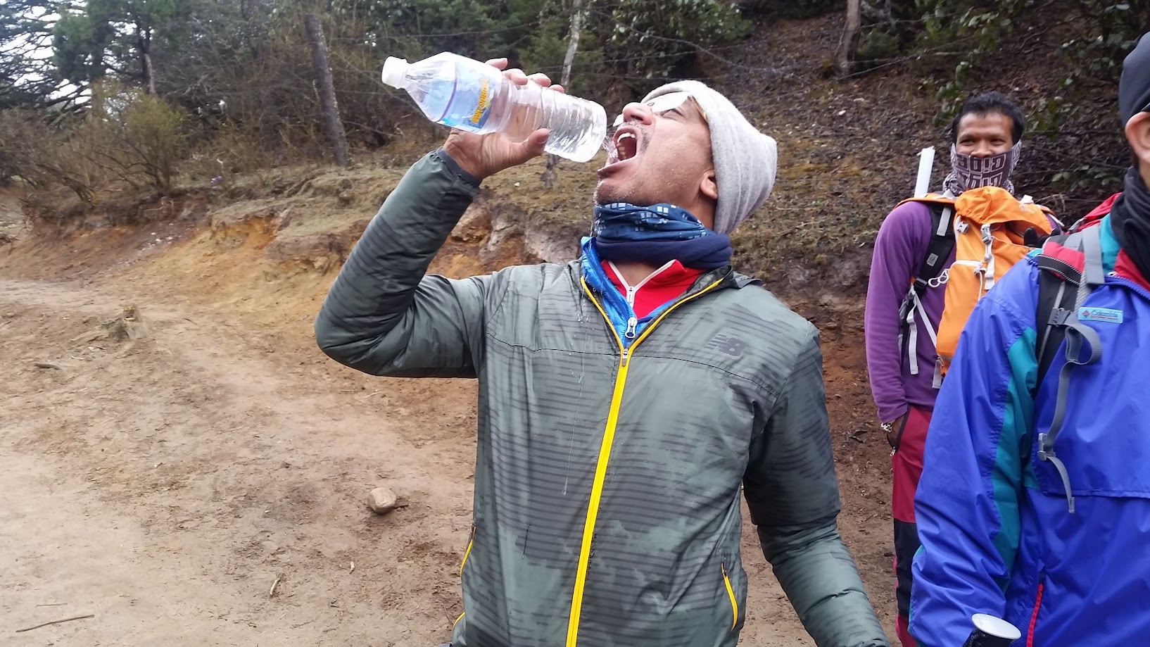
Proper hydration is critical for this trek. Most of us were carrying camelbacks and were constantly sipping water. It resulted in frequent nature’s calls which had to be answered in the nature 🙂
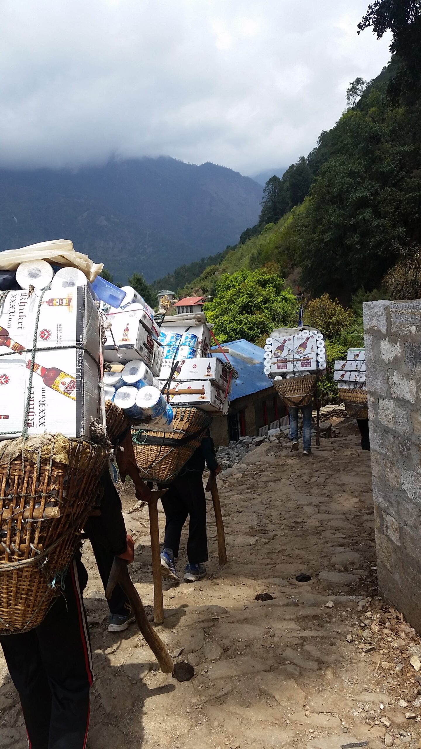
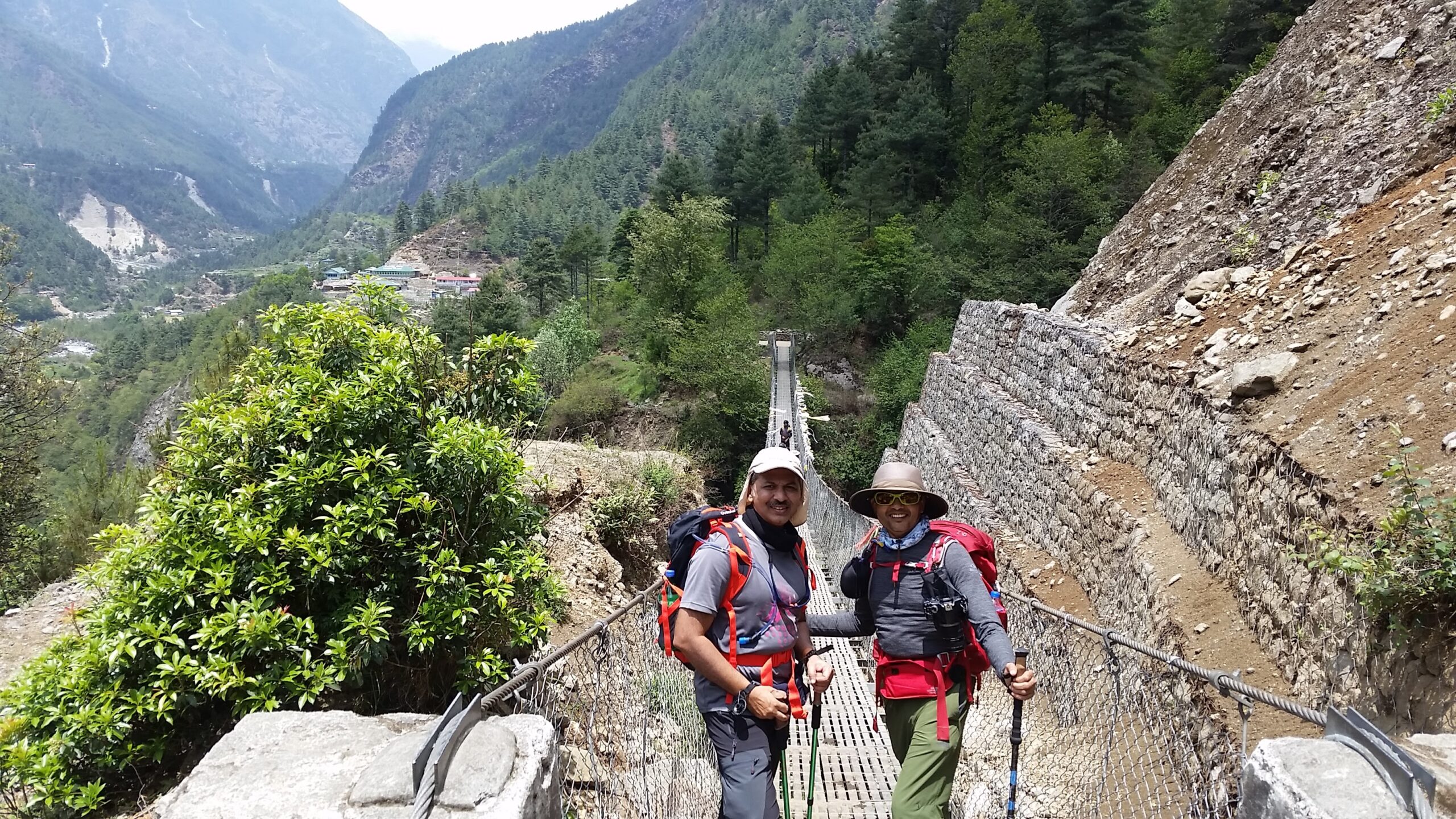
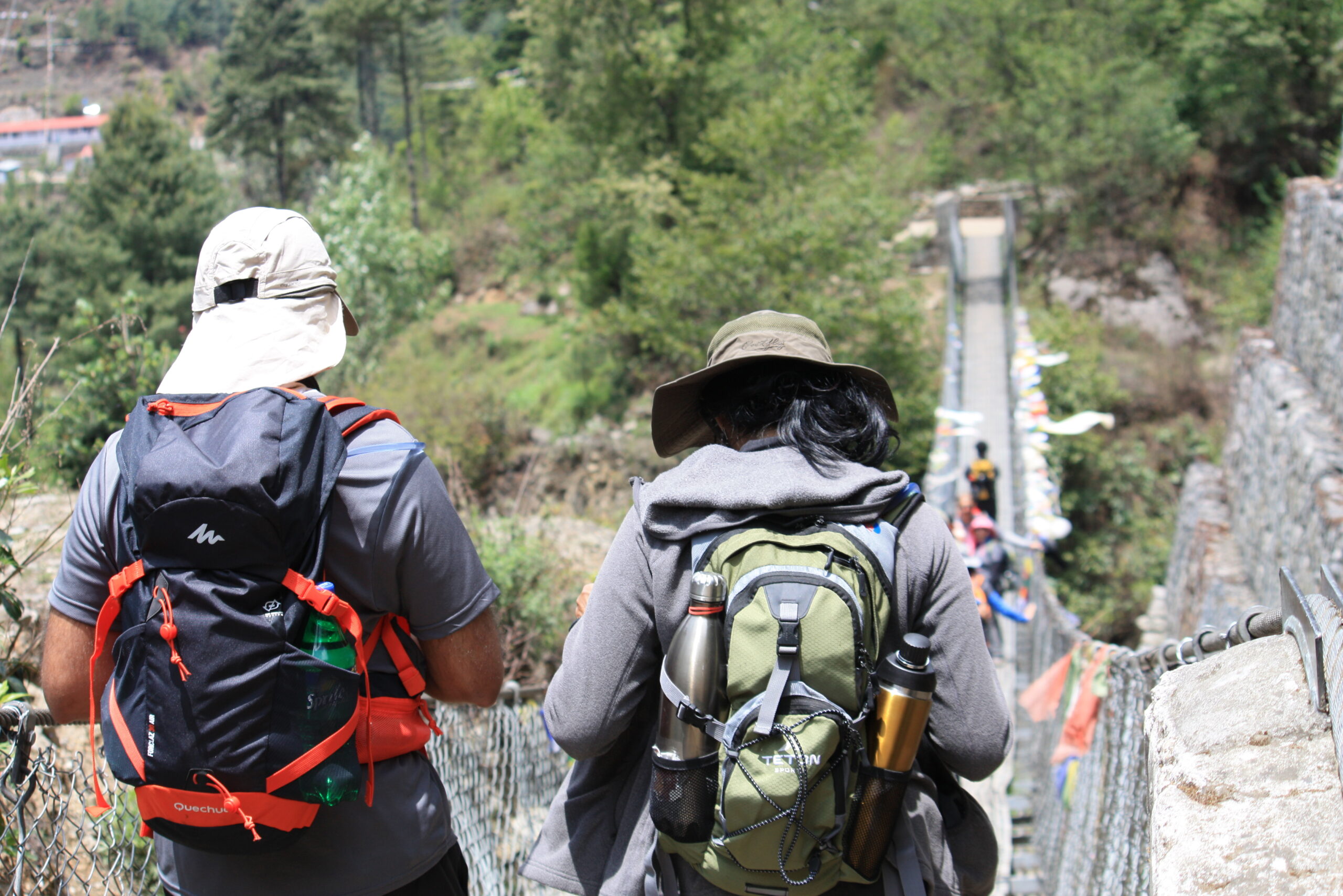
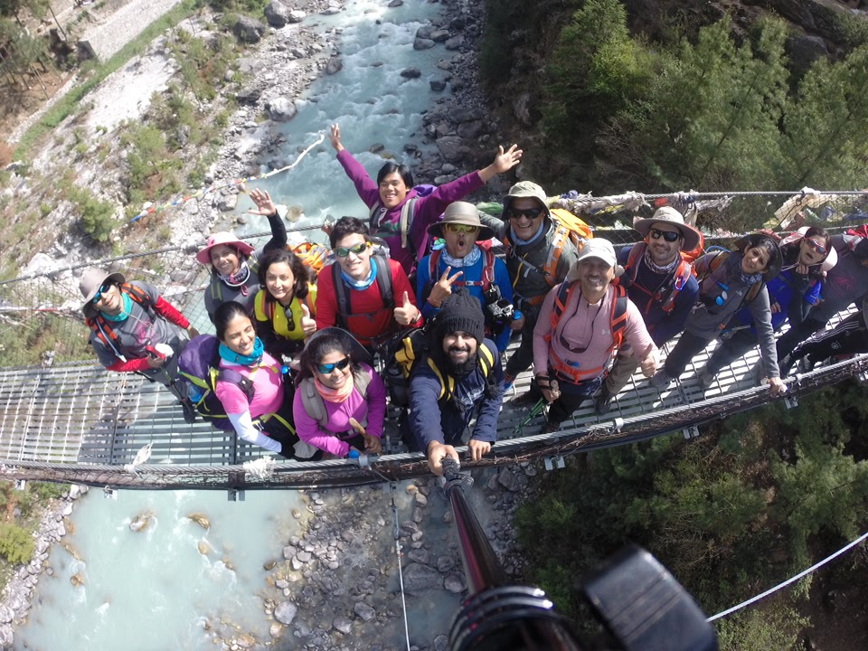
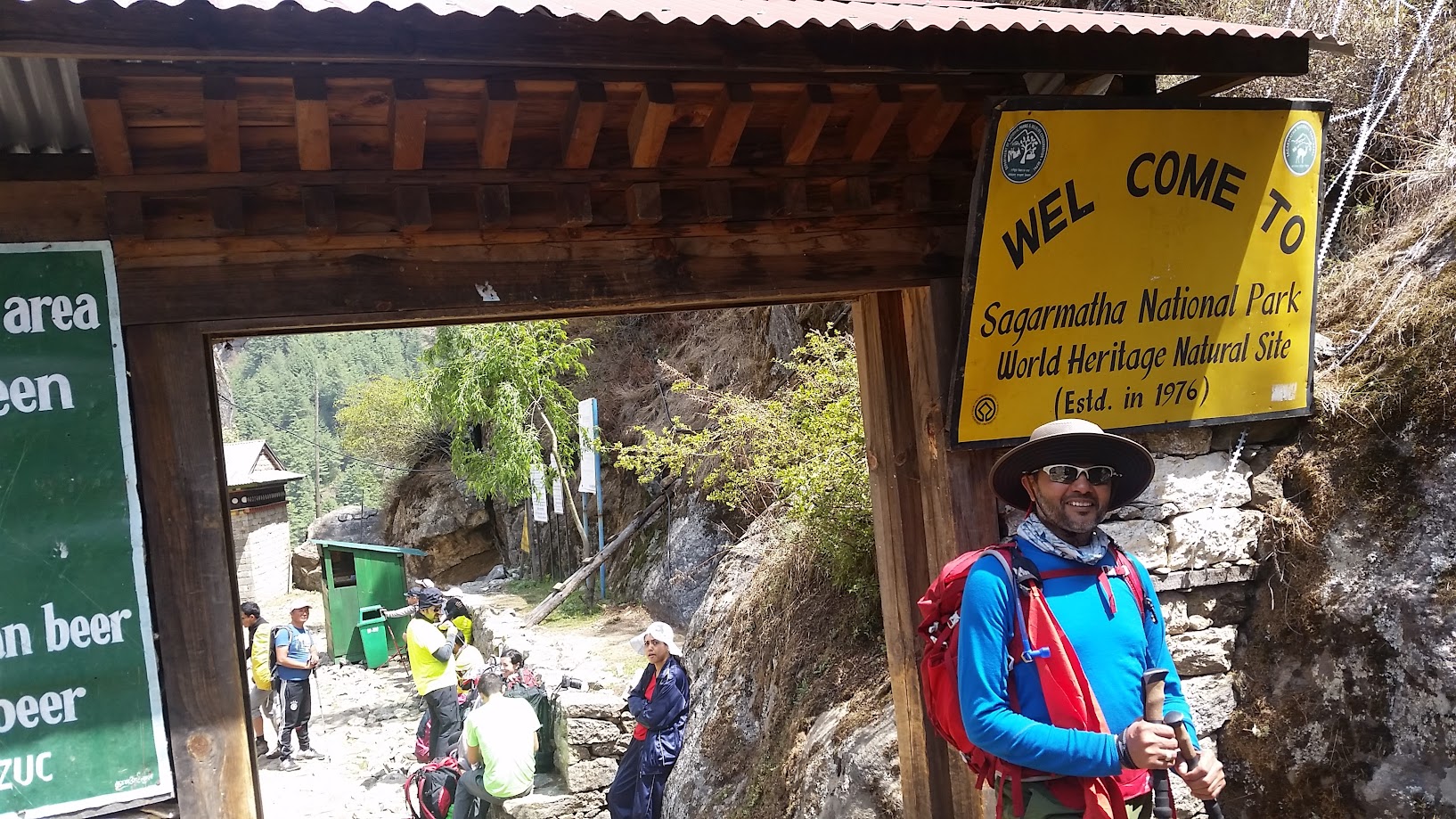
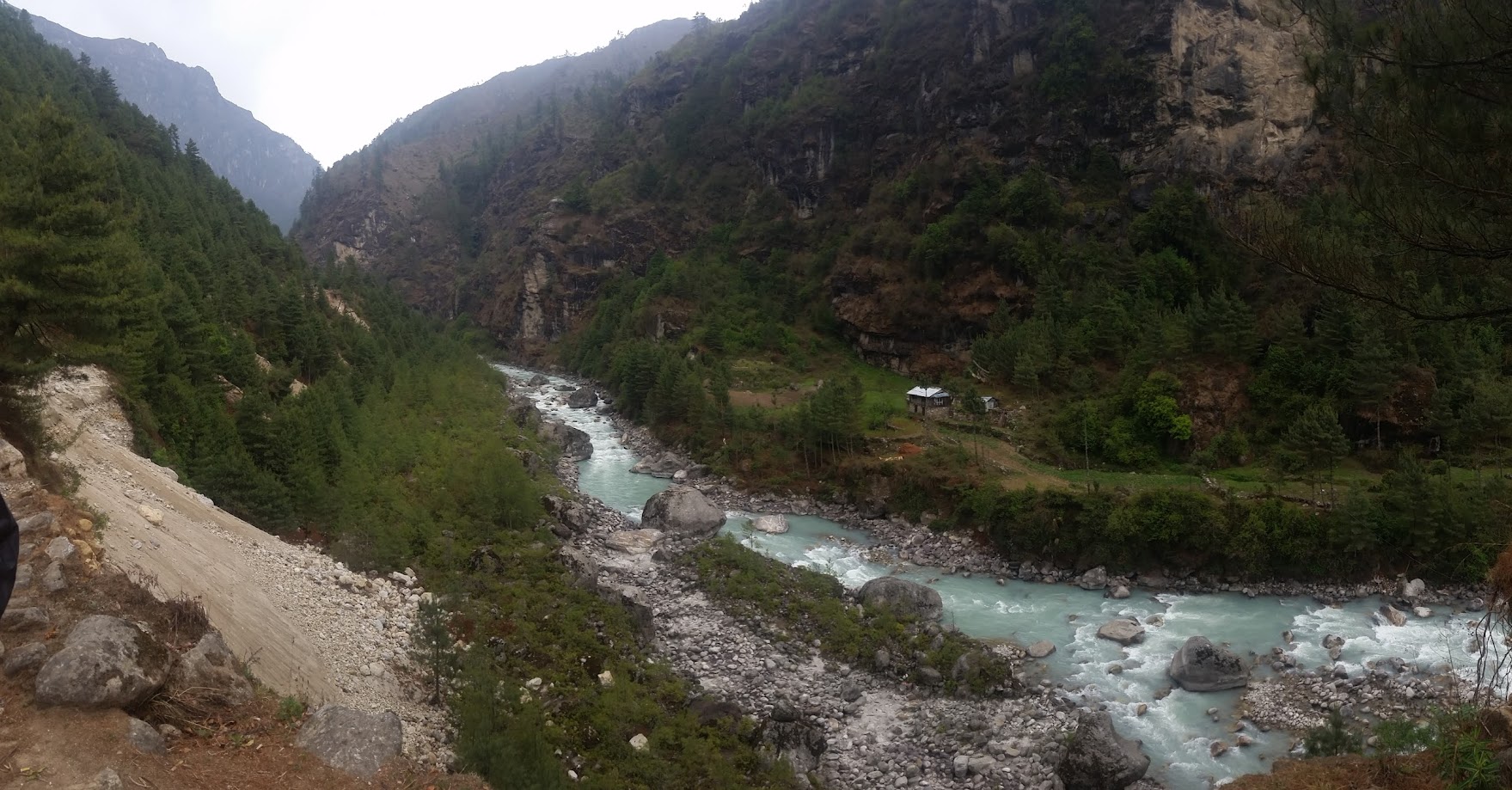
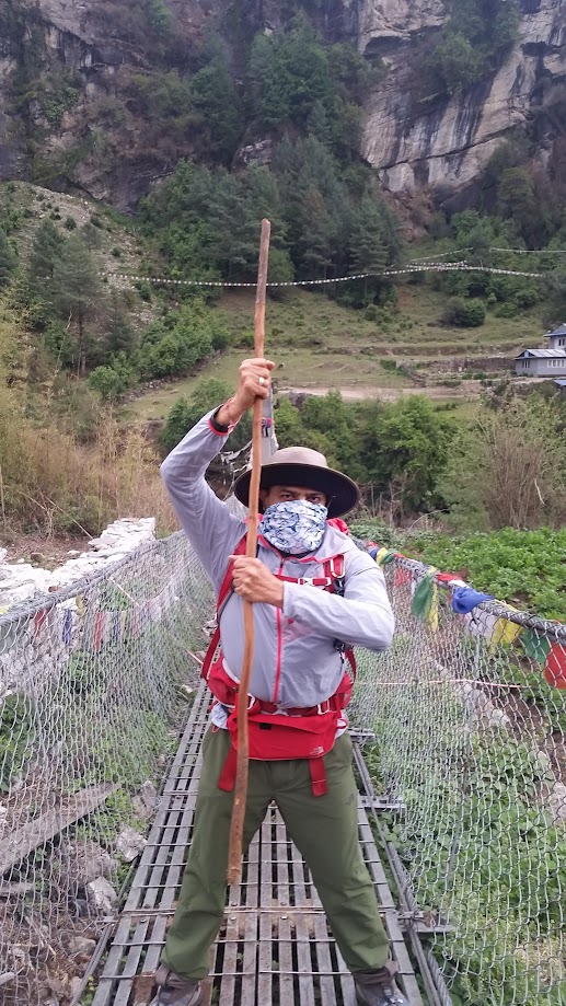
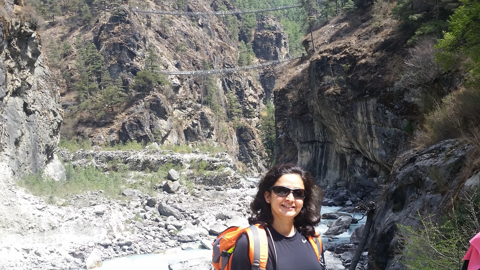
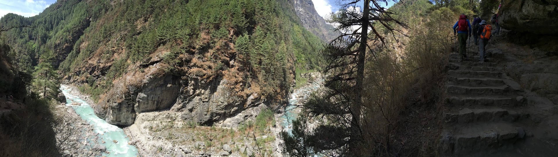
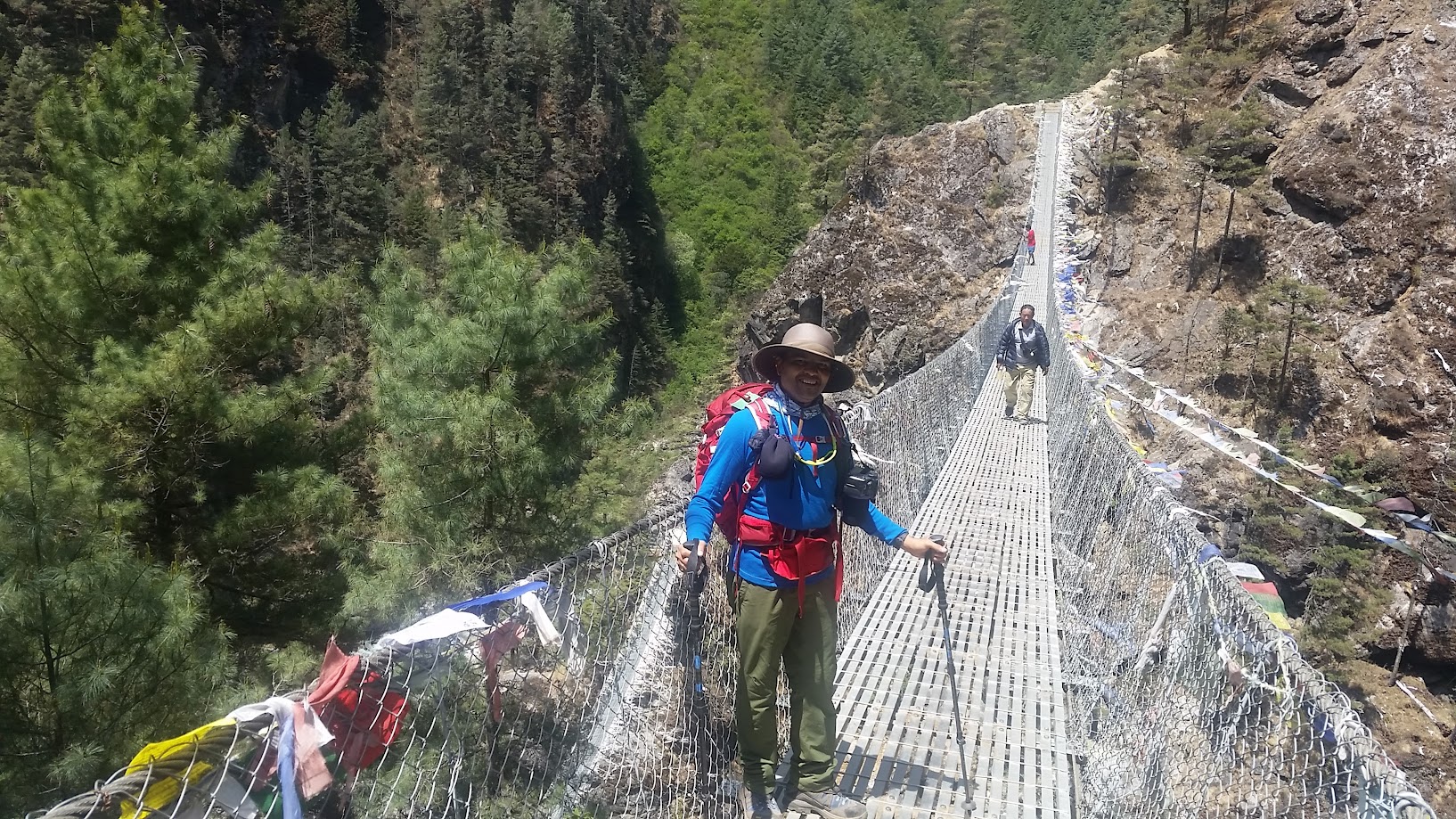
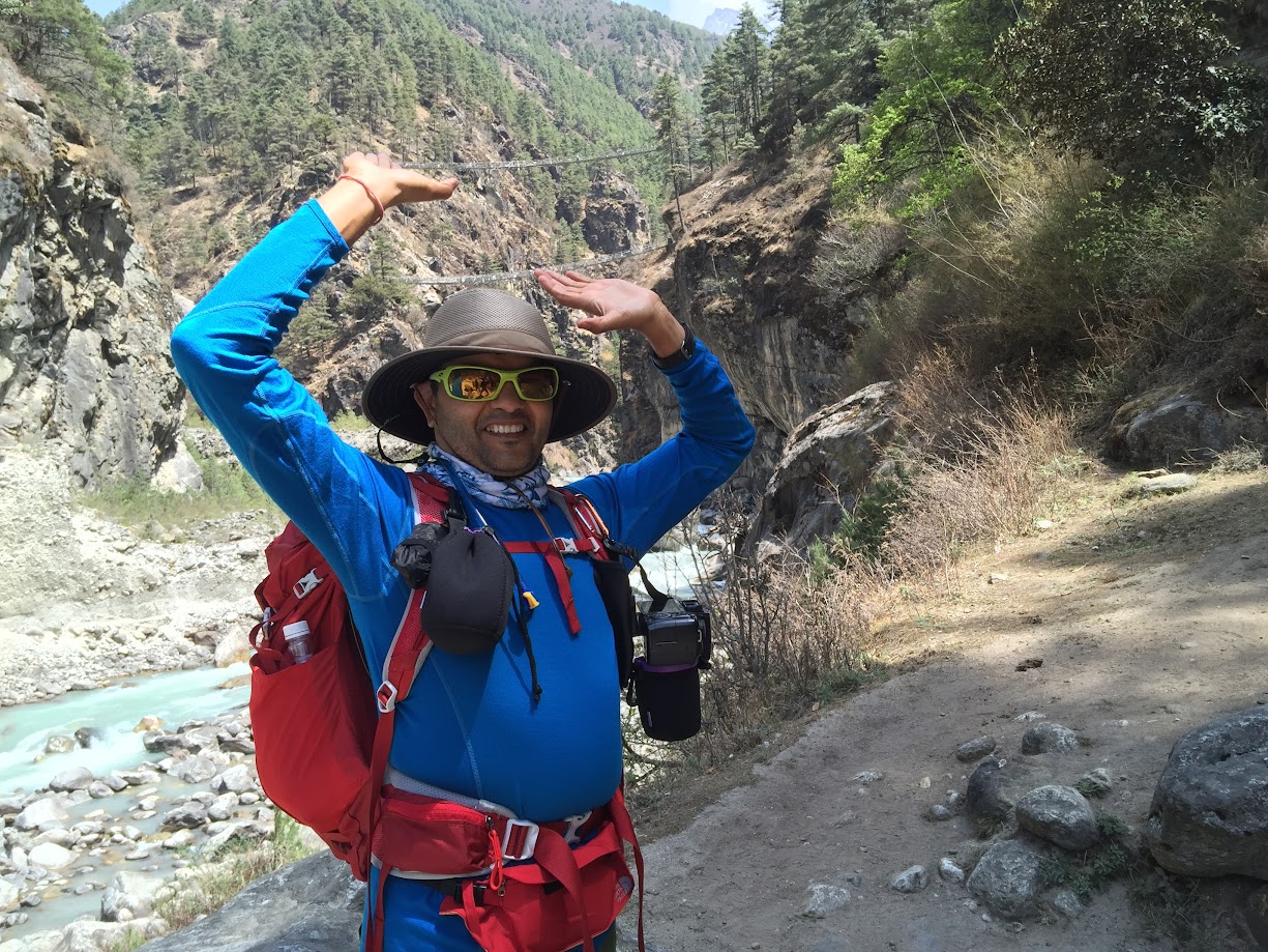
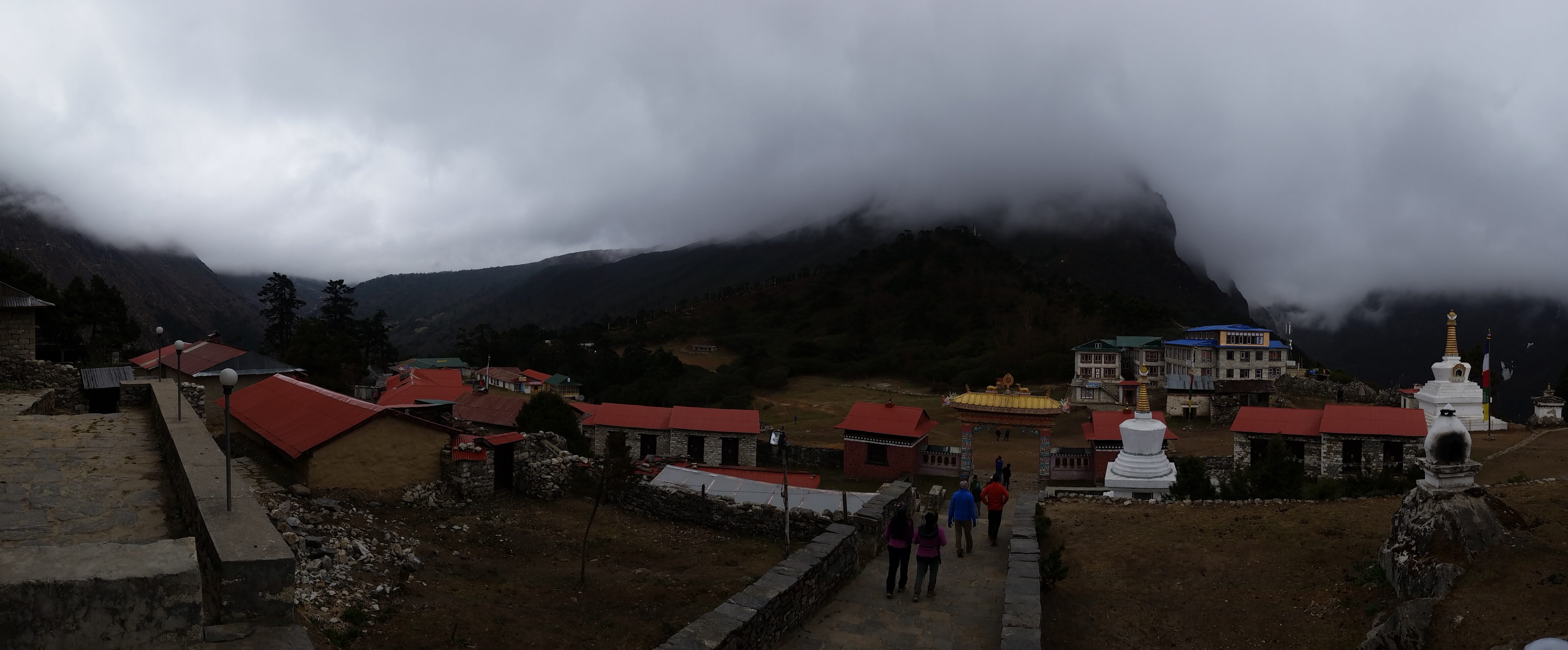
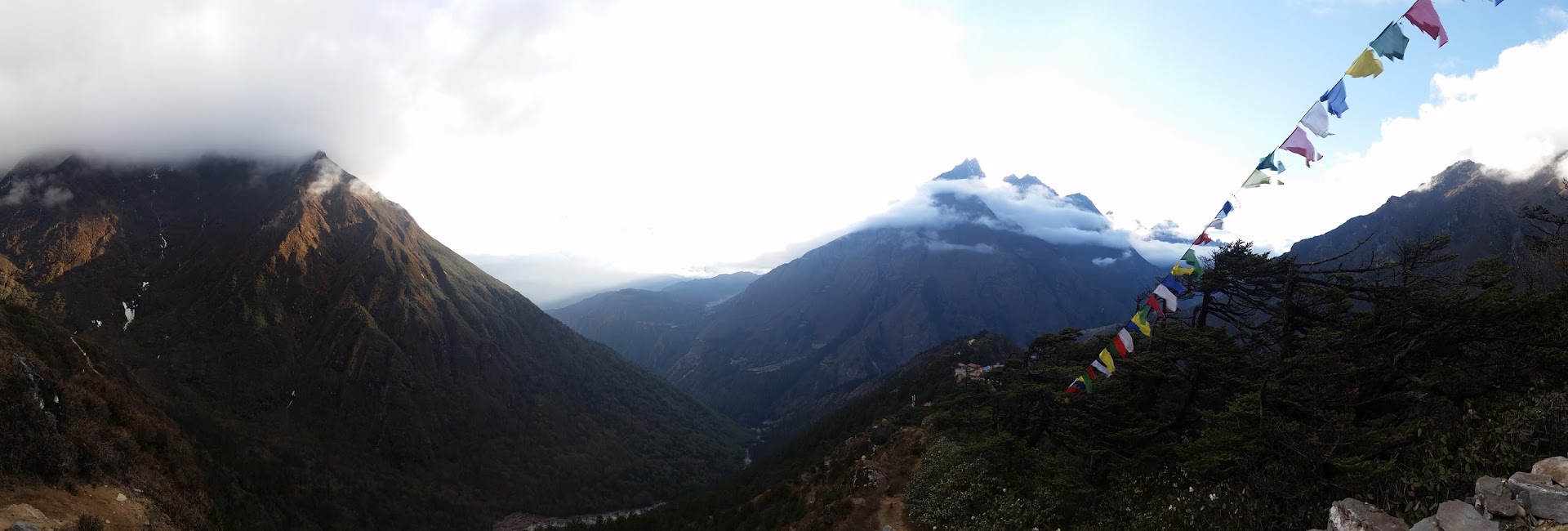
For most of our trek we walked next to the ‘dudh koshi’ river (dudh-milk, koshi-river). It flows from Sagarmatha National Park to Lukla. We crisscrossed the river many times using the well constructed metal suspension bridges you can see in the pictures below.

We arrived at Phakding at about 2:15pm and had lunch there. Phakding is about 9km from Lukla and is at an elevation of 2,650m i.e. 200m below Lukla. We had to make that up by climbing up to Monjo after lunch.
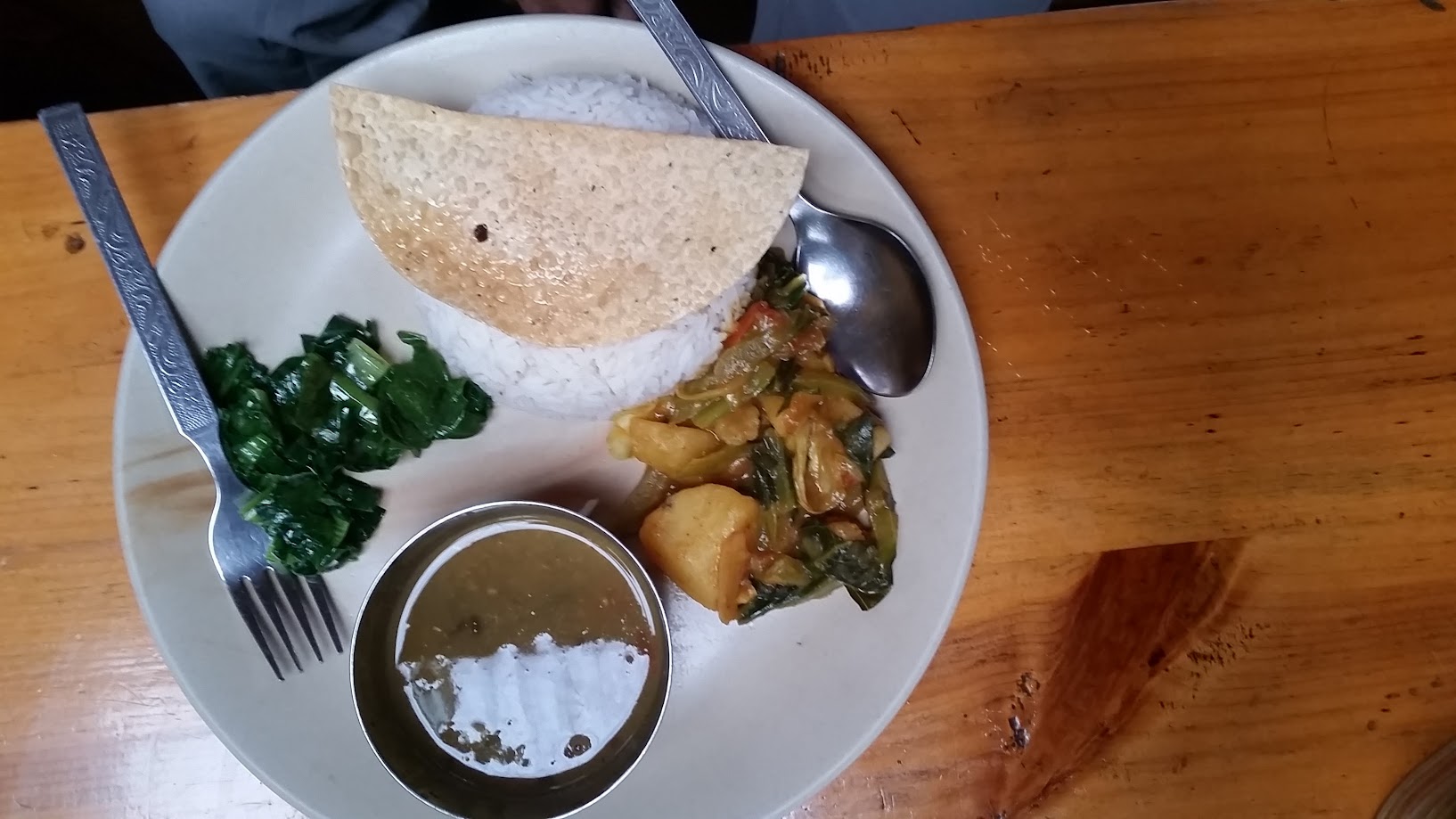
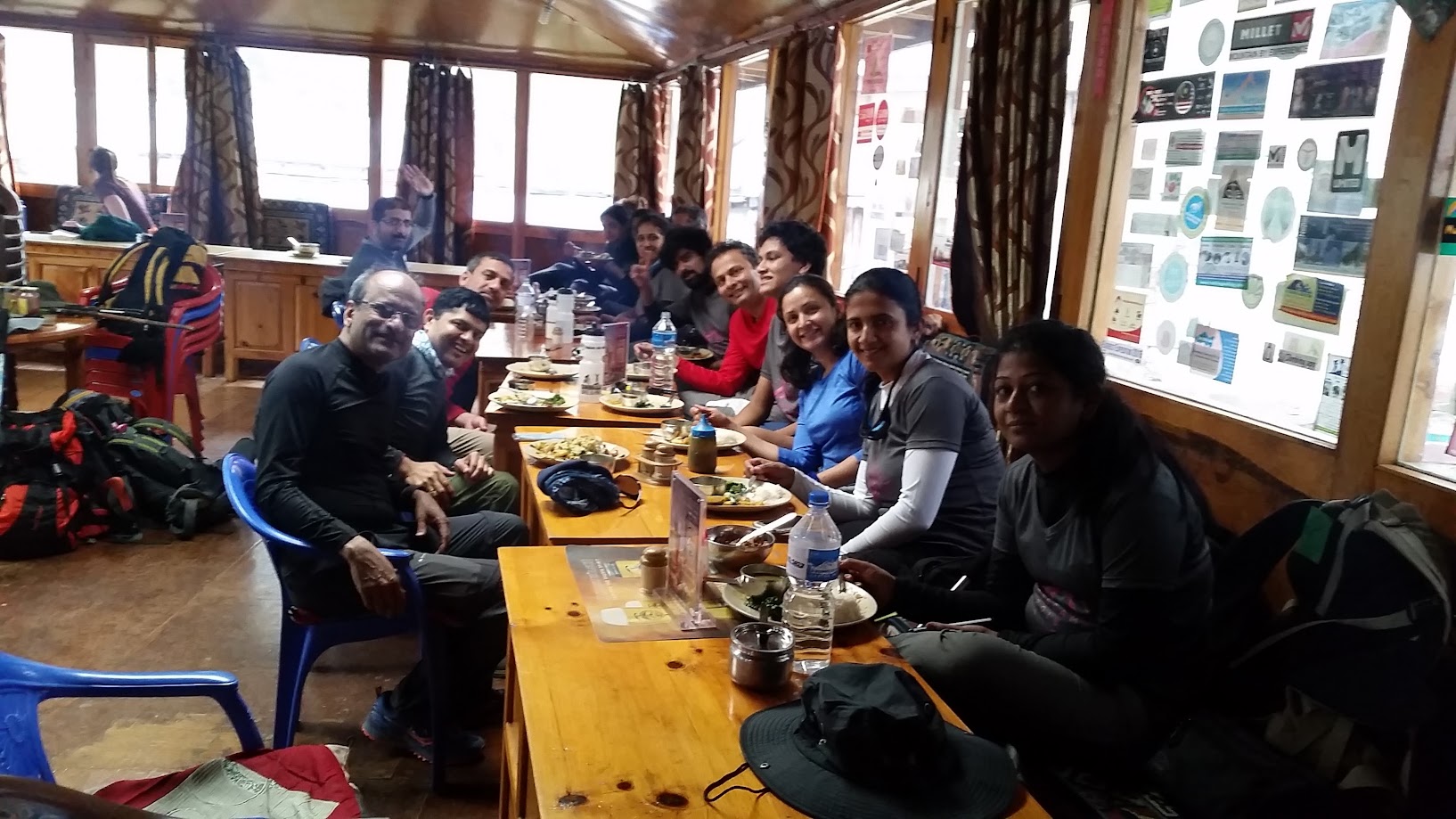
We had a Nepali thali for lunch. This was going to be our choice of lunch for most days. It consists of daal (lentil soup), tarkari (curry – usually potatoes and greens) and rice. It doesn’t sound very appetizing but turned out to be quite delicious.
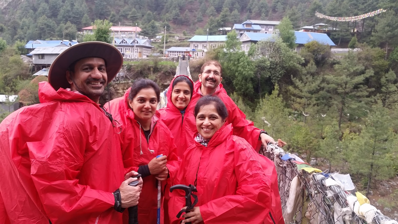
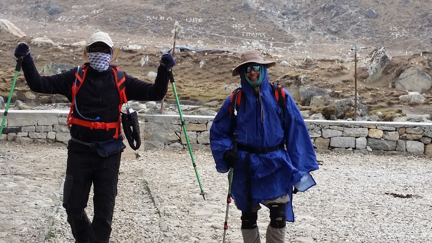
Down came the rain and out came the ponchos and rain jackets
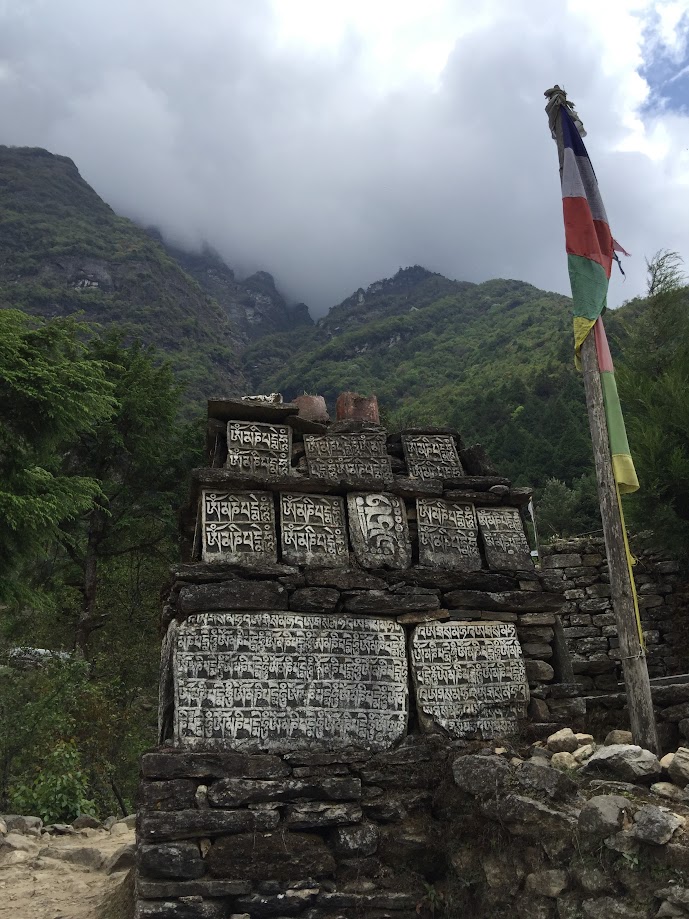
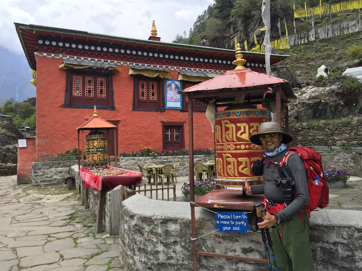
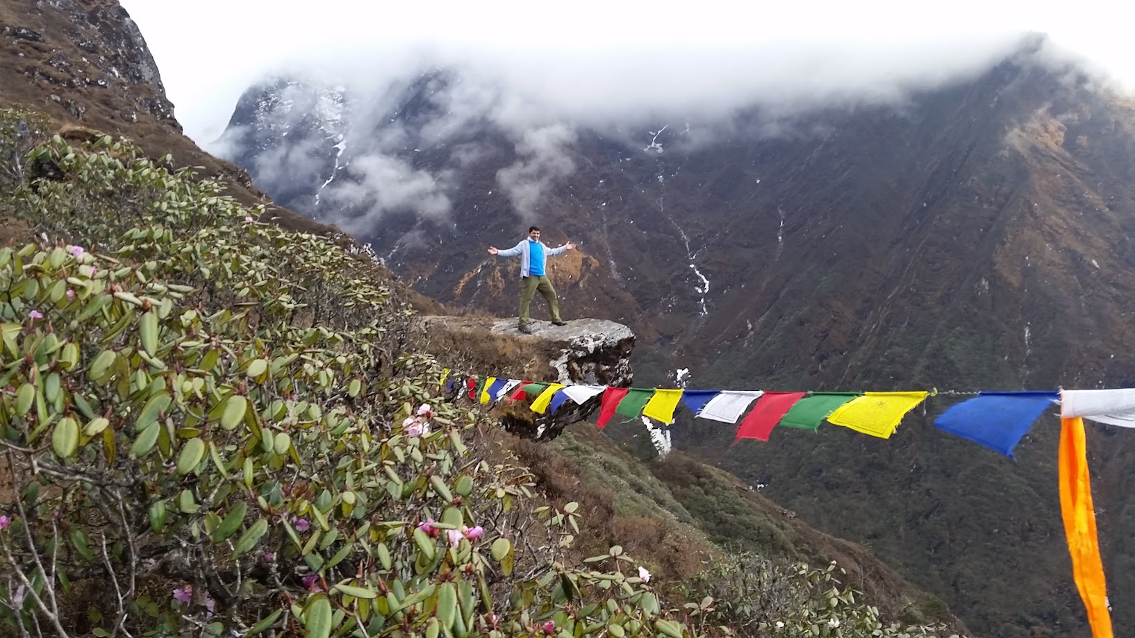
Tibetan Buddhists believe that saying the mantra (prayer), Om Mani Padme Hum, out loud or silently to oneself, invokes the powerful benevolent attention and blessings of Chenrezig, the embodiment of compassion. Viewing the written form of the mantra is said to have the same effect — it is often carved into stones, like the one pictured below (left), and placed where people can see them. We saw dozens of these during our trek.
Spinning the written form of the mantra around in a Mani wheel (or prayer wheel) is also believed to give the same benefit as saying the mantra, and Mani wheels (below, right), small hand wheels and large wheels with millions of copies of the mantra inside, are found everywhere in the lands influenced by Tibetan Buddhism. Again, we saw dozens of these and made sure to spin as many of them as we could.
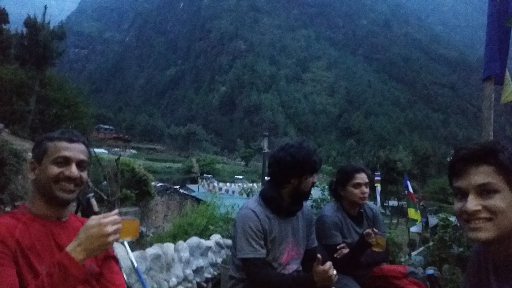
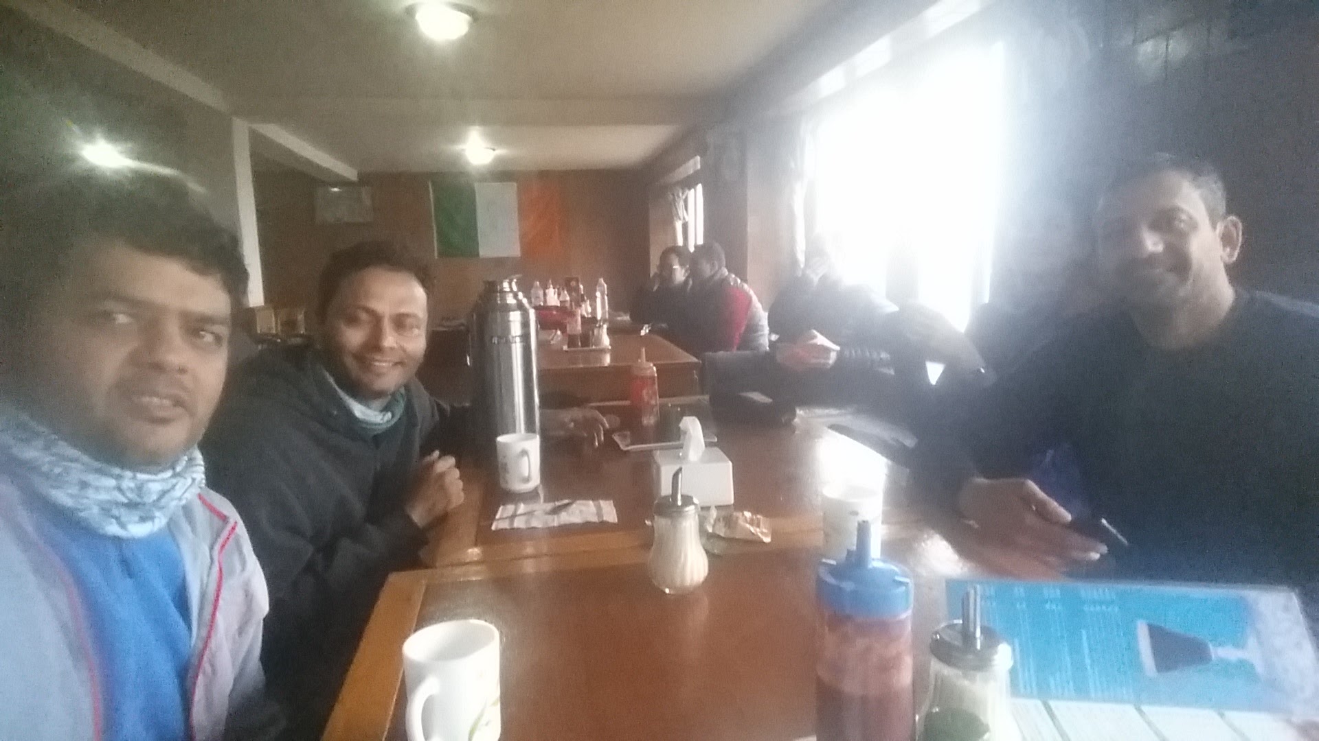
After what felt like an eternity, we finally made it to Monjo at around 6:30pm. On a whim we ordered a lemon tea which turned out to be really refreshing and became our favorite beverage during the trek
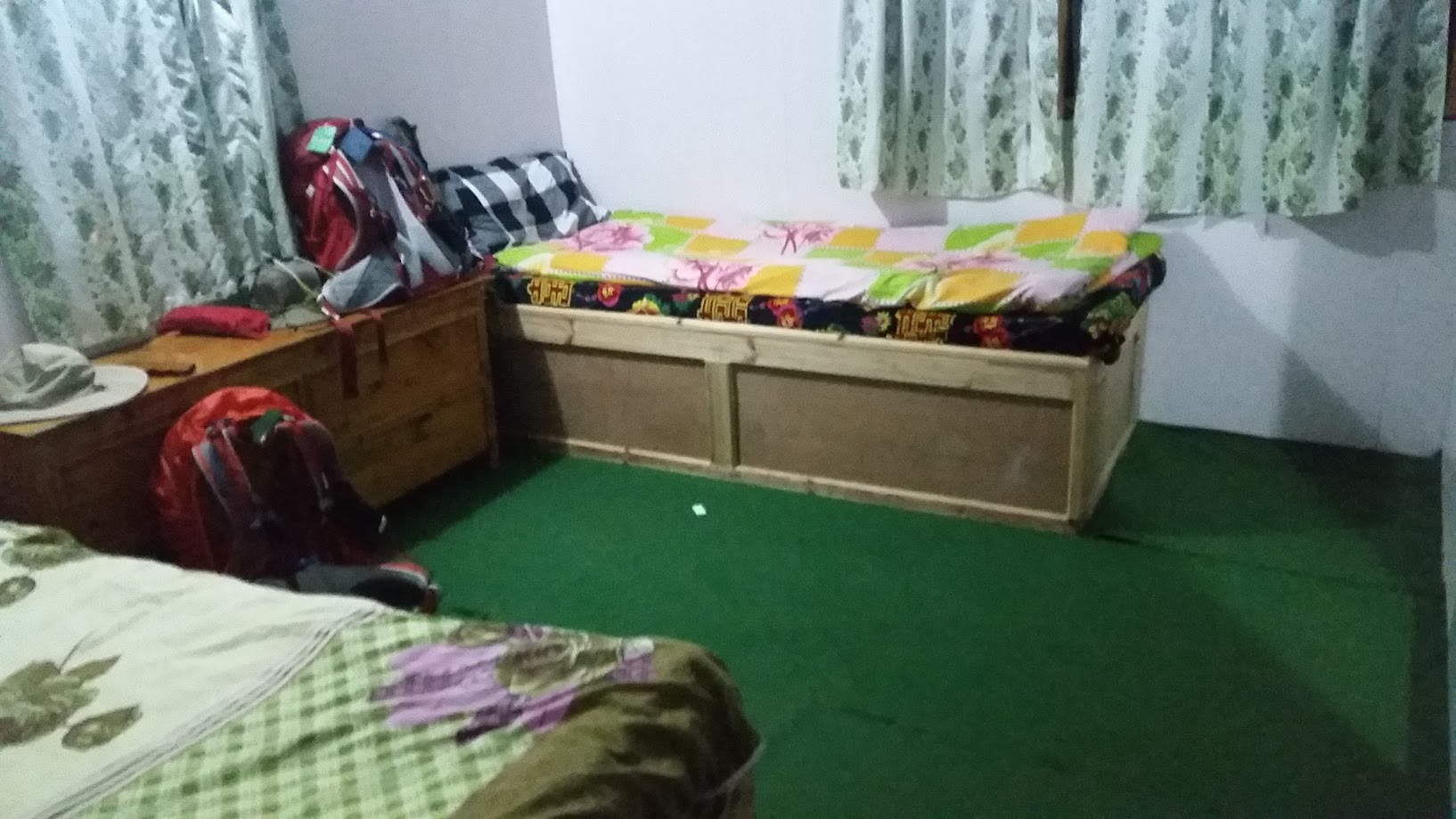
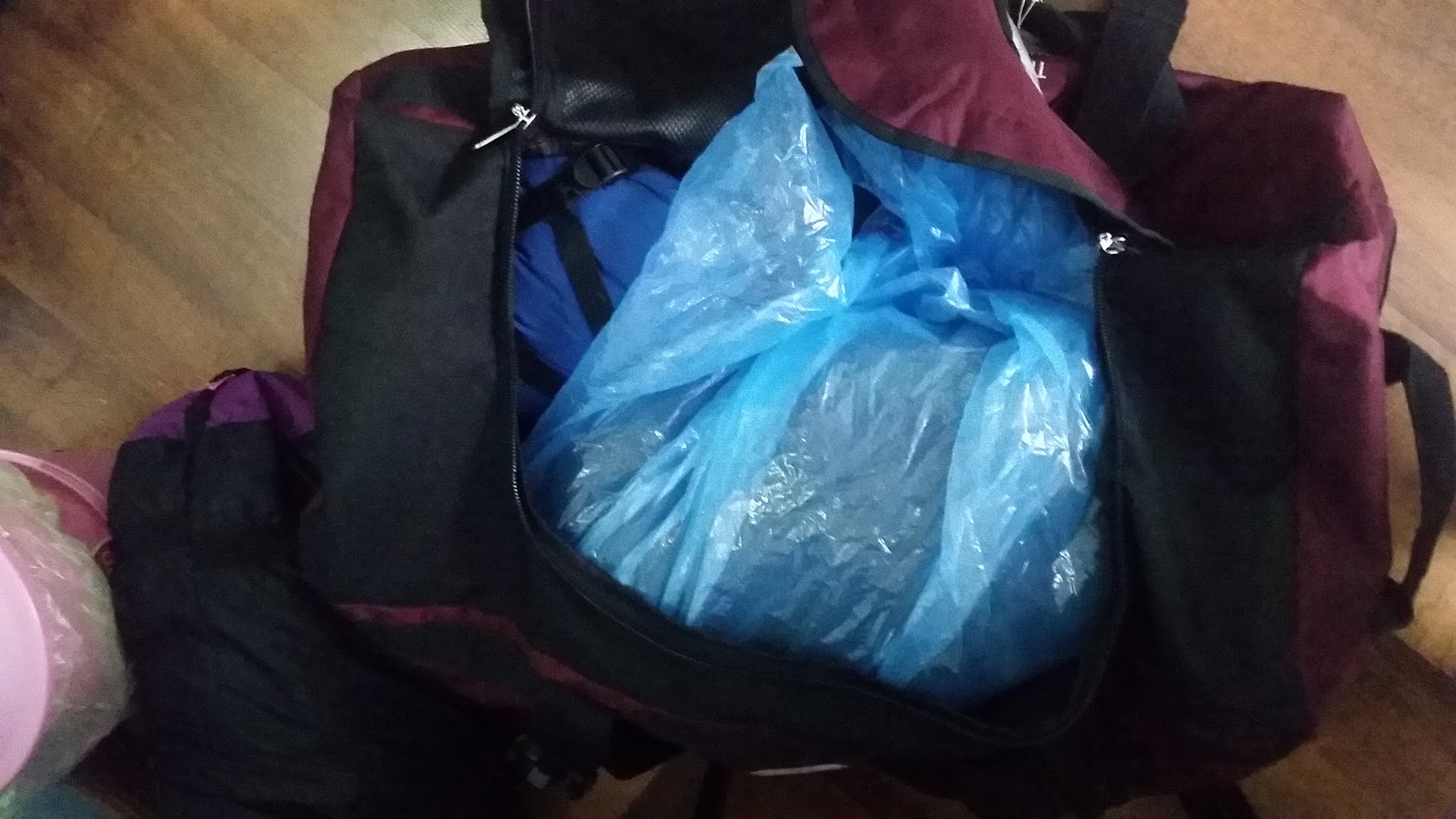
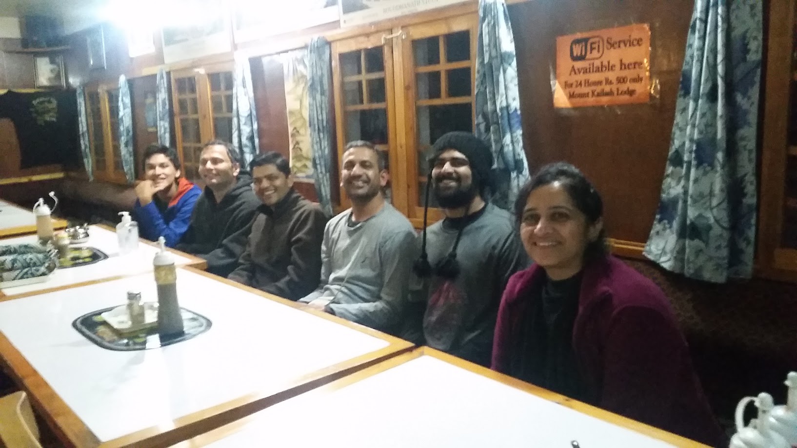
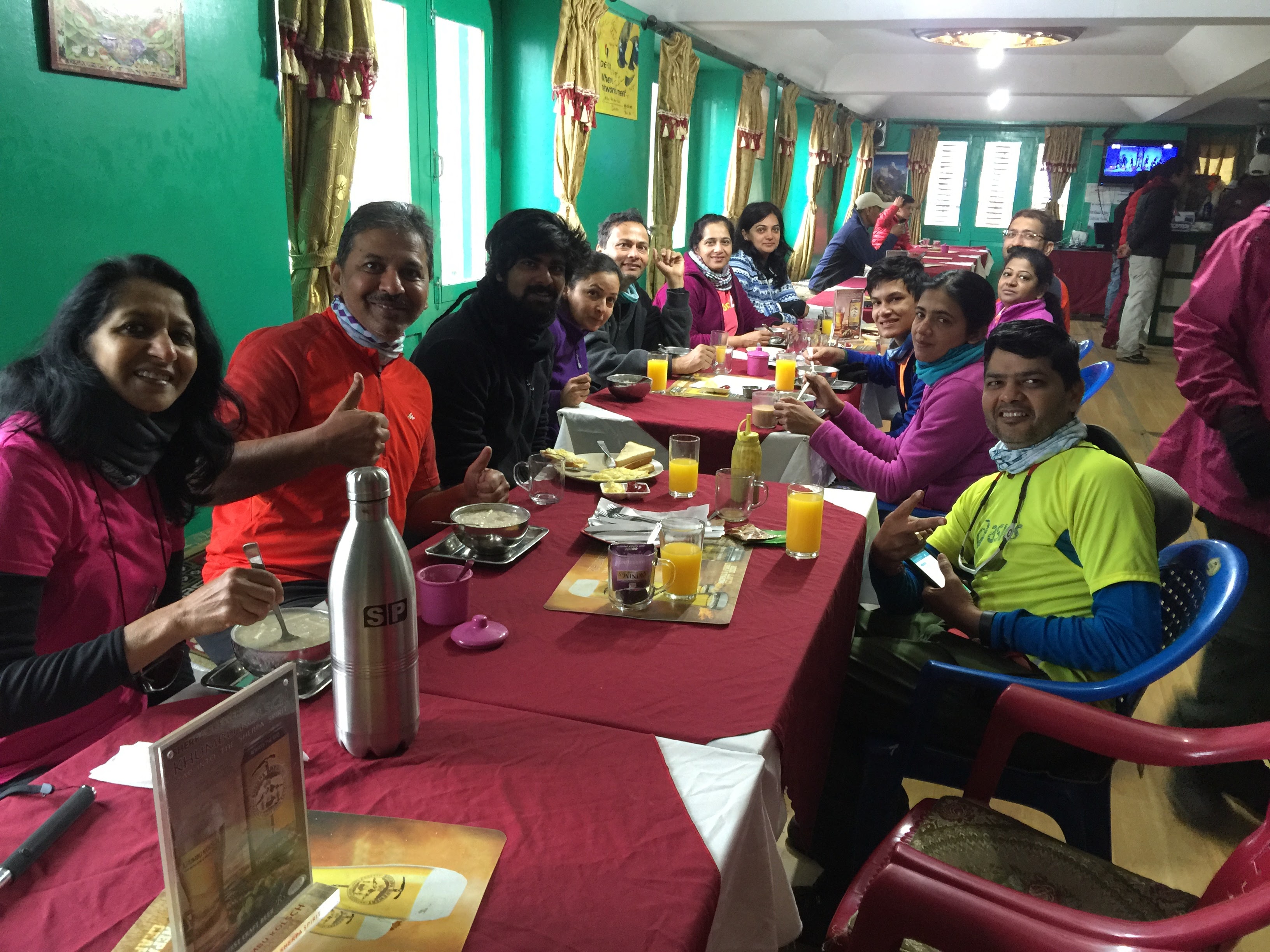
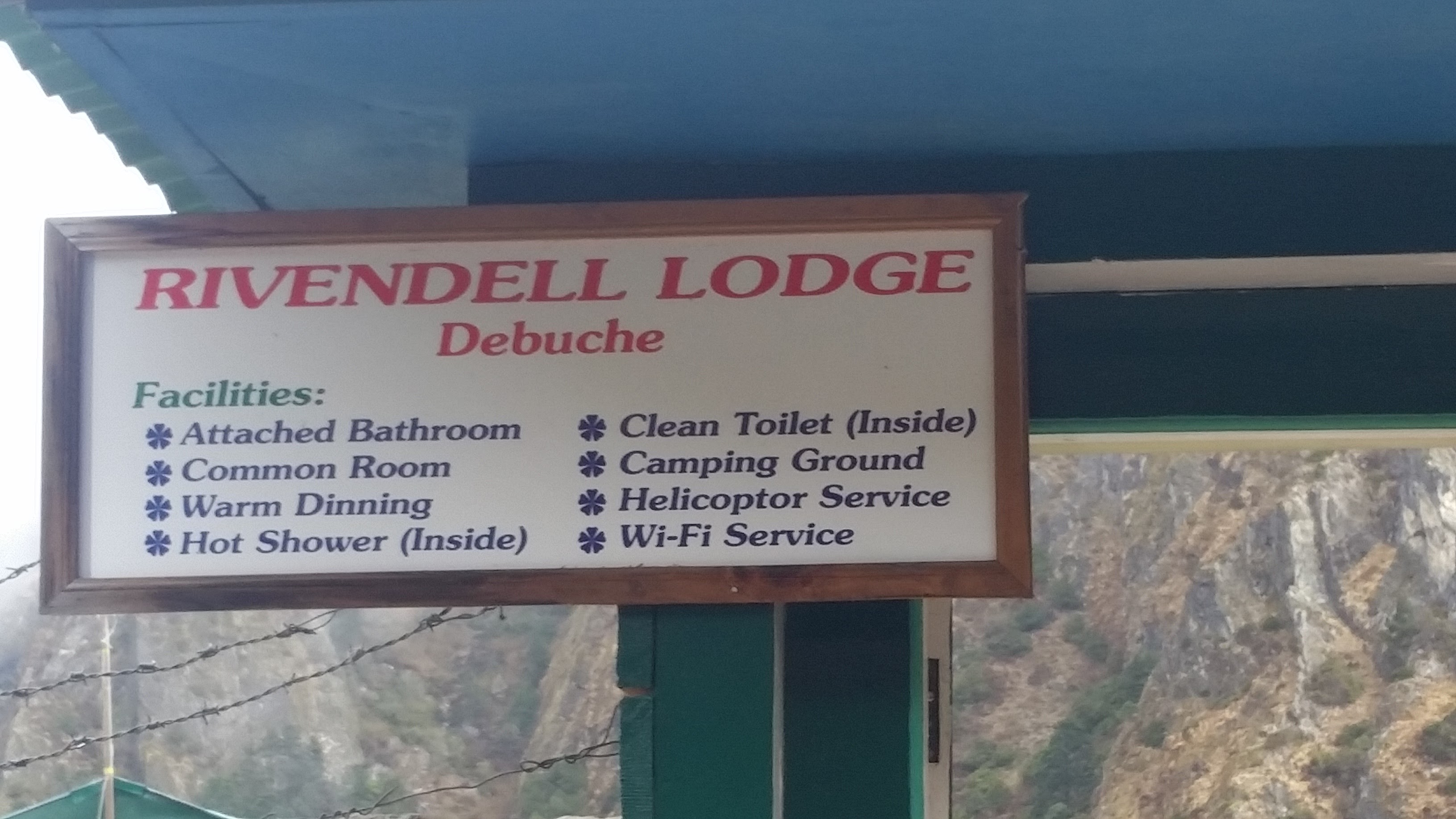
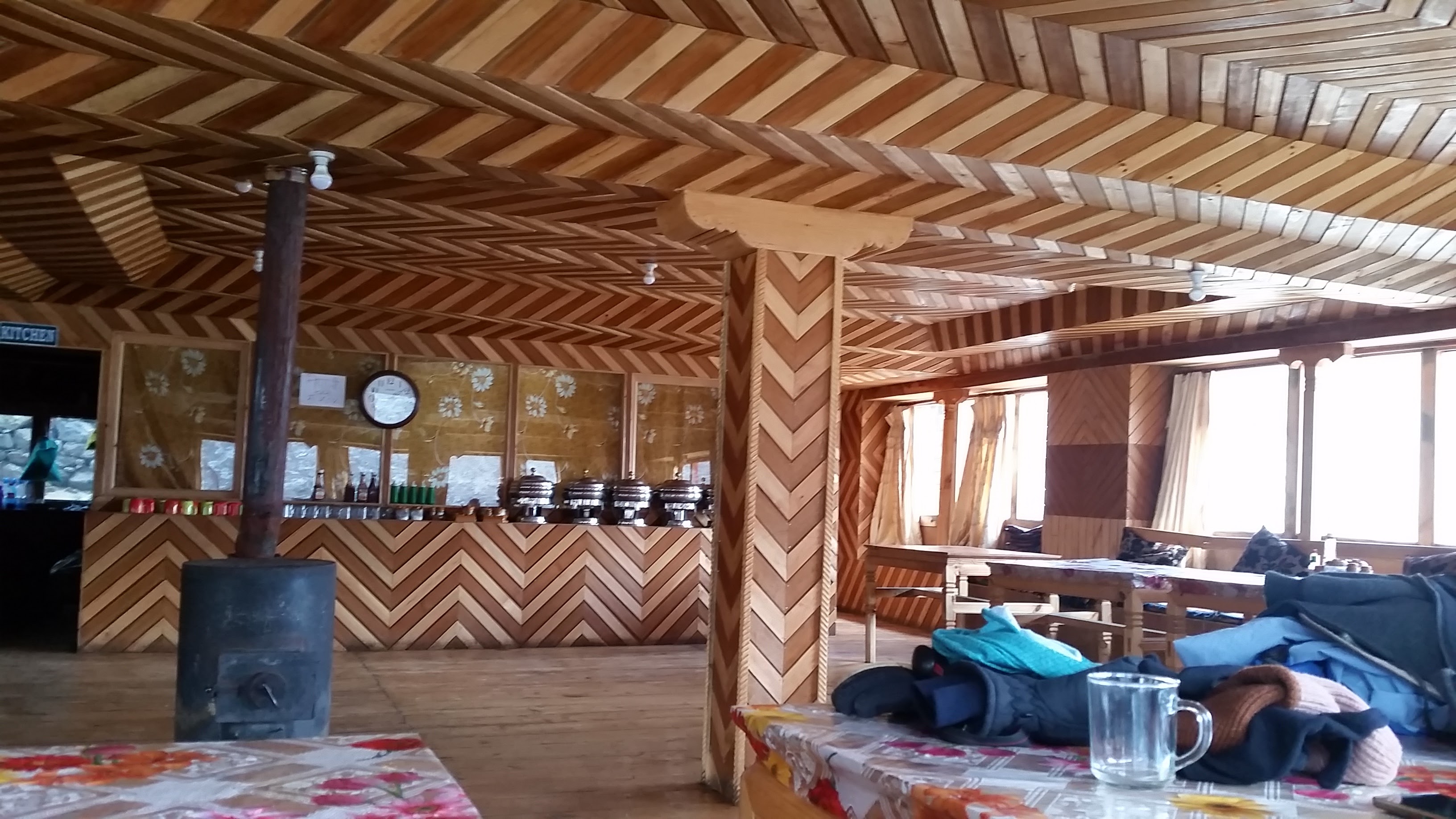
We stayed in the Mount Kailesh Lodge in Monjo. Each room was shared by two people. The rooms were very similar in other lodges throughout our trek. Barebones but comfortable. We lived out of a duffle bag + our backpack. We had to pack everything back in our duffle bag every morning so the porters could take it to the next destination. We were able to order our choice of dinner from a menu with a surprisingly large number of options which included burgers, pizzas, noodles, fried rice, roti-curry etc. The menu options remained largely unchanged from one lodge to the next.
Day 2, May 10 2016:
* Start: Monjo. Elevation: 2,850 m / 9,350 ft. Time: 8:30am
* End: Namche. Elevation: 3,340 m/ 11,286 ft. Time: 1:30pm
* Elevation gain: 490m / 1,607 ft
* Distance: 8km (5 miles) * Terrain: Mostly rocky. Initially downhill followed by long Namche Hill climb
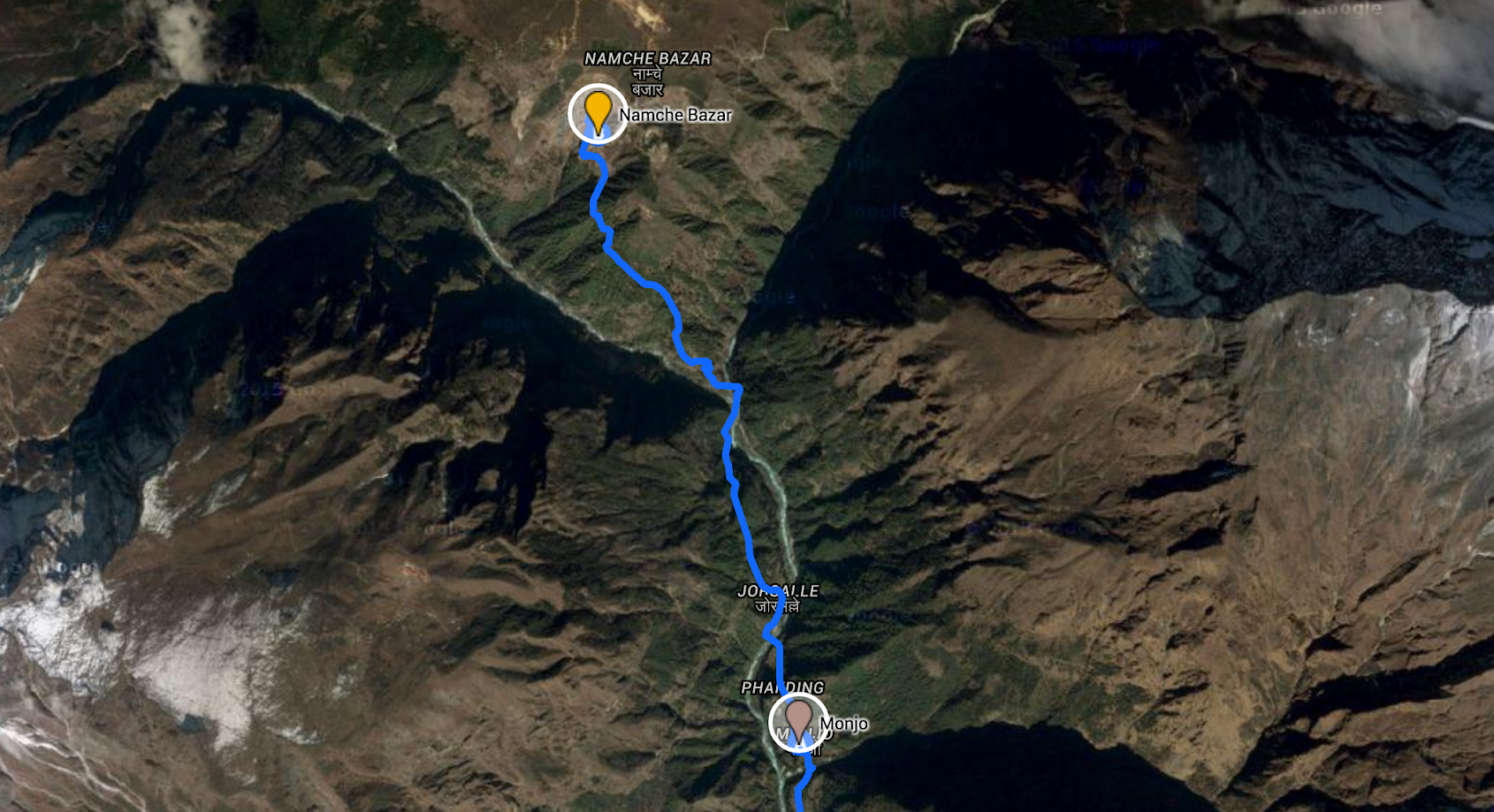
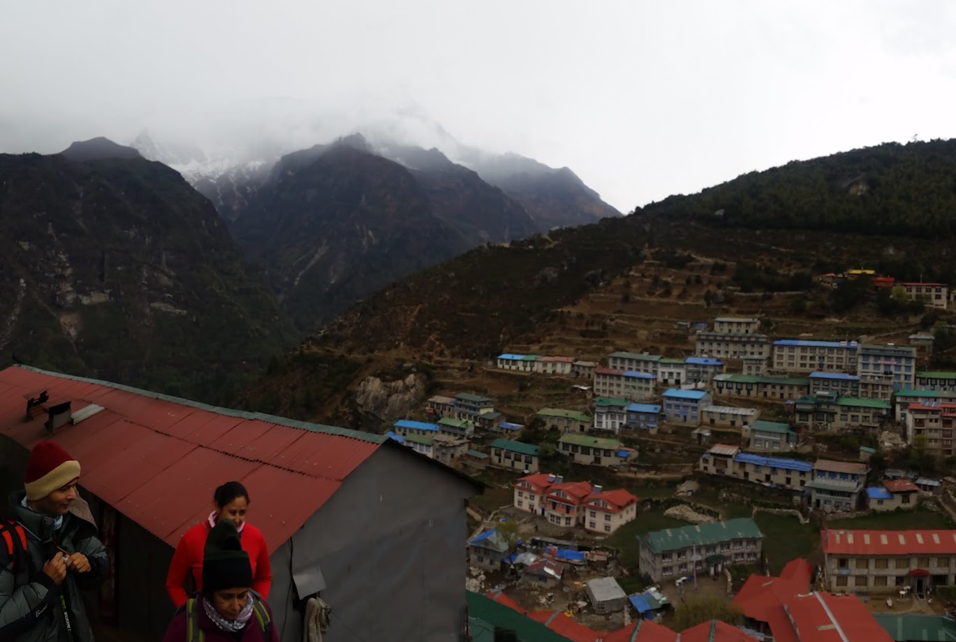
We left Monjo at around 8:30am and reached Namche Bazar at 1:30pm. We crossed many more suspension bridges. The weather was good in the morning but became overcast in the afternoon as we neared Namche.
I am carefully balancing two suspension bridges in the middle picture below 🙂
I was playing some fun songs on my phone and along the way we spontaneously started dancing in the middle of the trail (me+Bhim, guide). It quickly turned into a ‘dandiya’ dance (me+Prashant)
We stayed at Hotel Hill-Ten at Namche. Initially we thought it was an attempt to make it sound like Hilton but then we realized that it was named after Edmund HILLary and TENzing Norgay
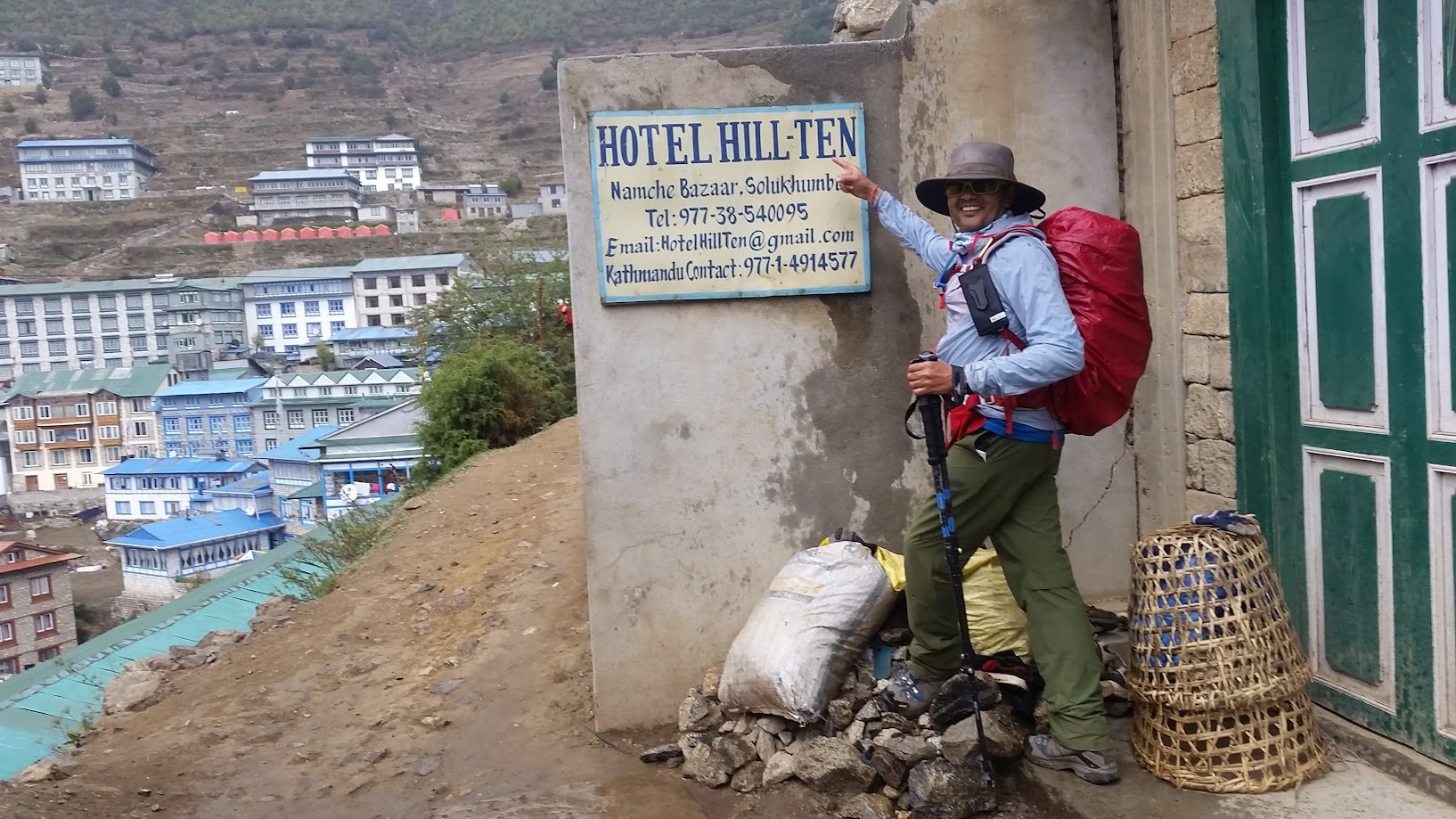
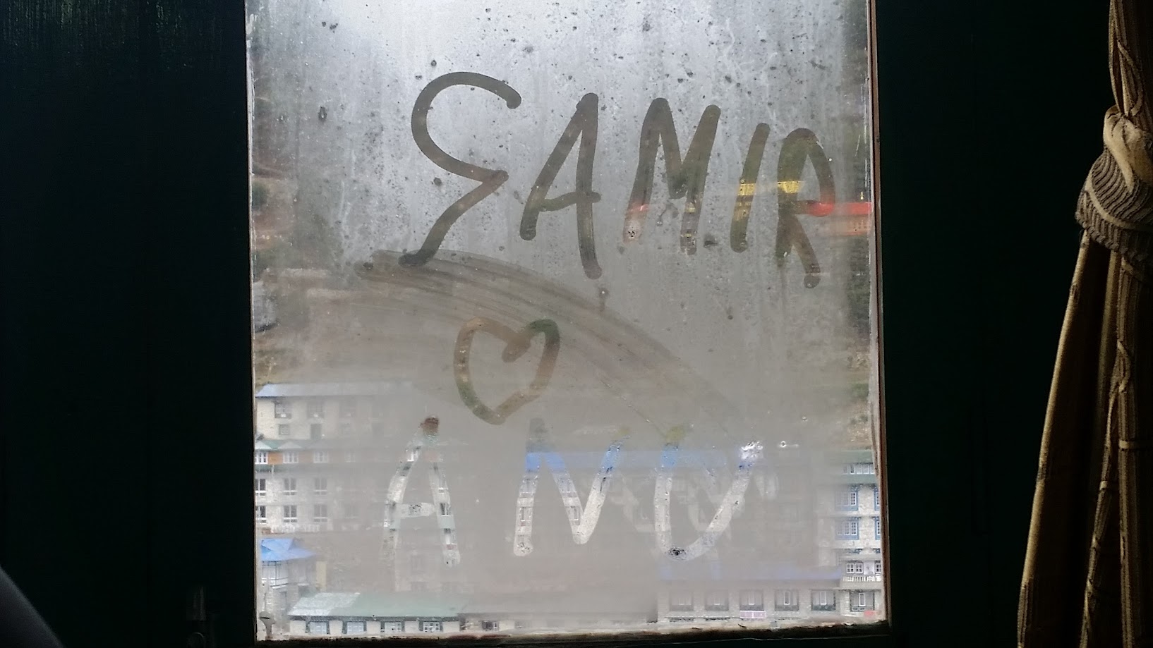
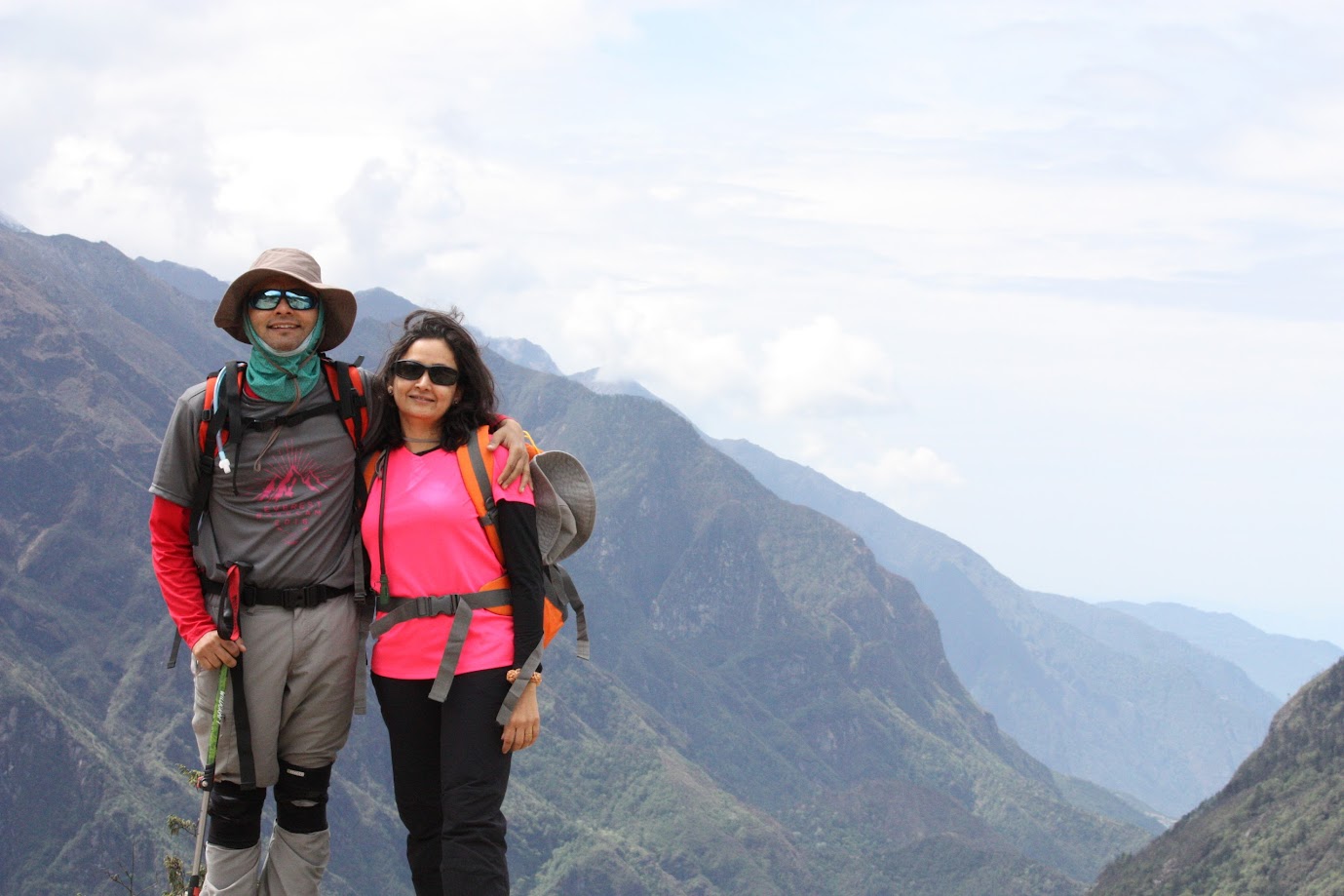
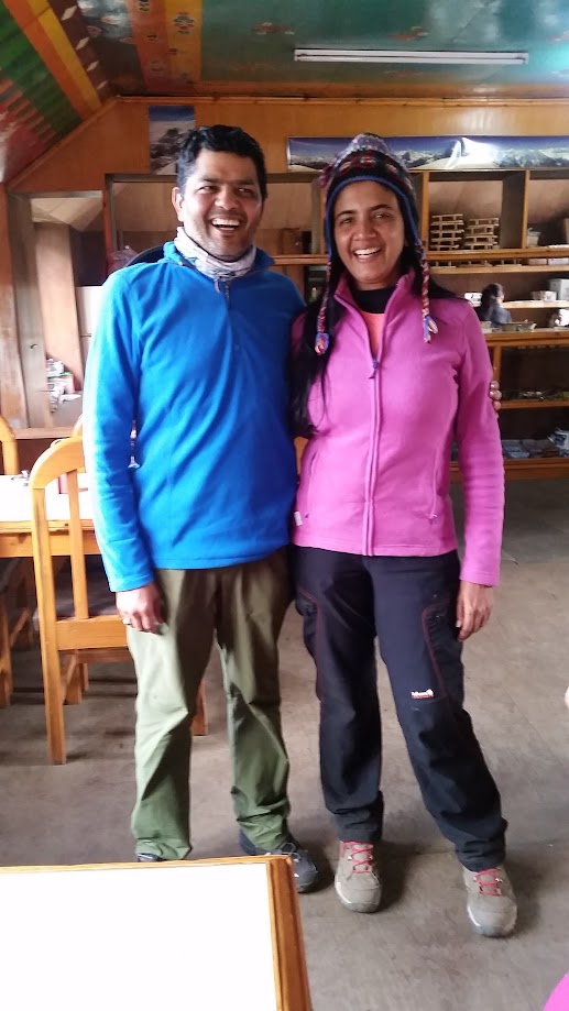
Romance was in the air. It was Samir and Anu’s anniversary week and Samir was getting creative 🙂
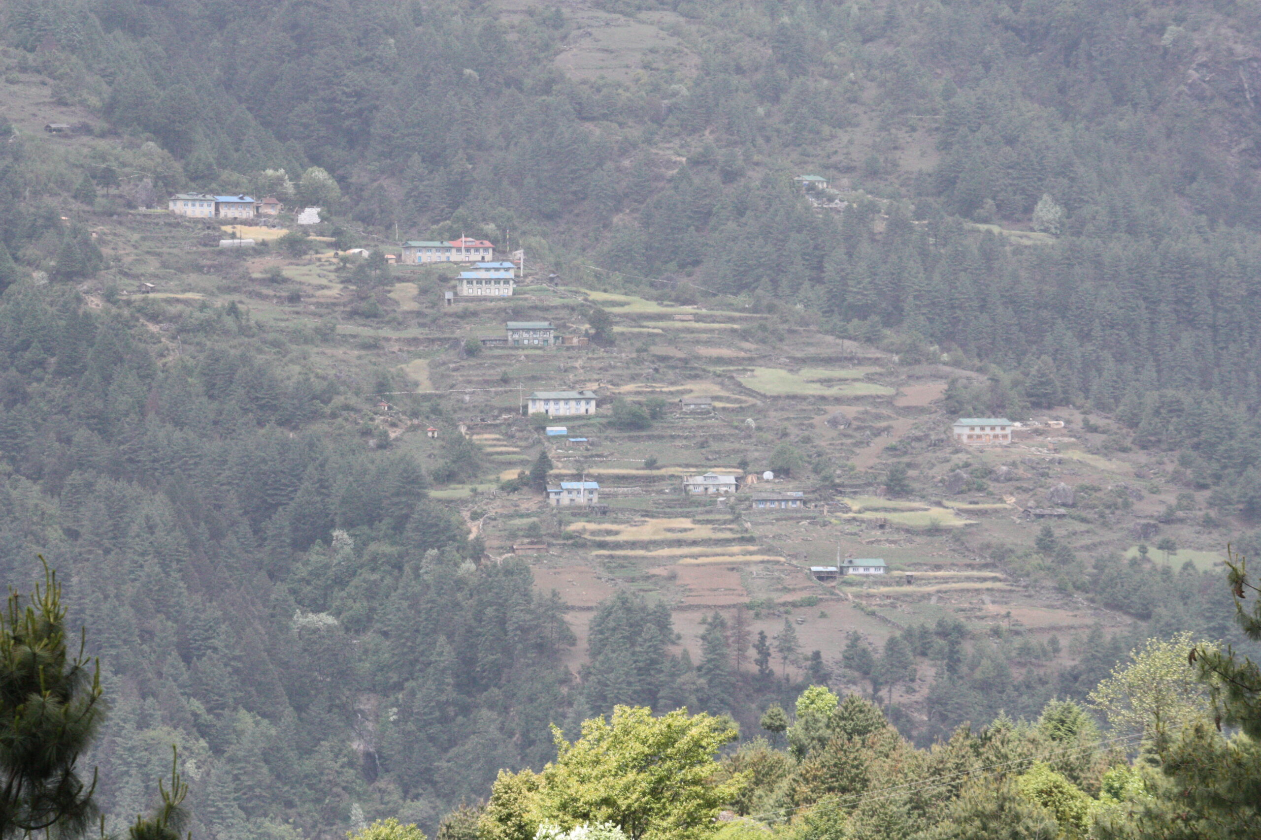
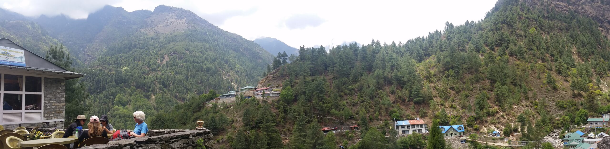
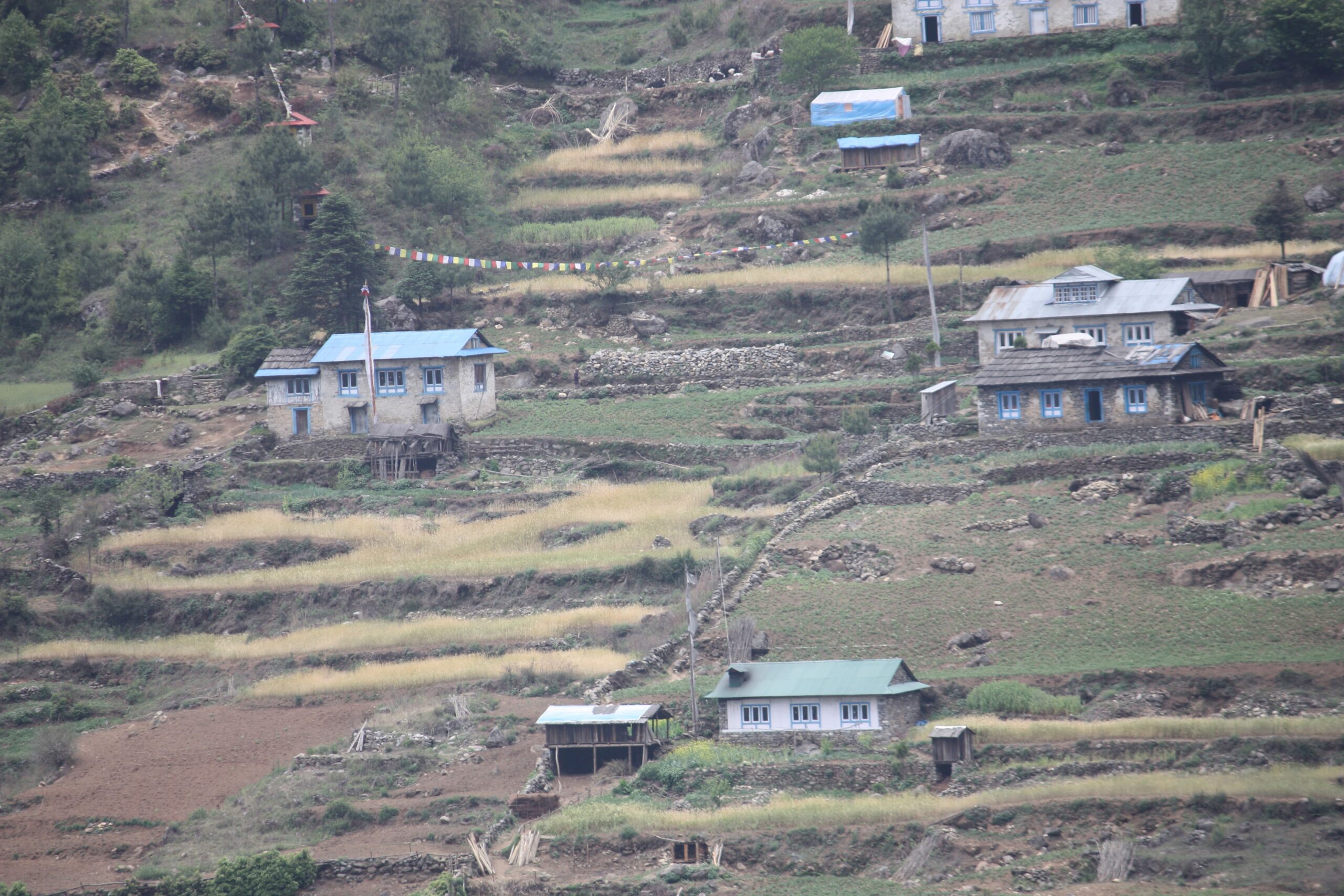
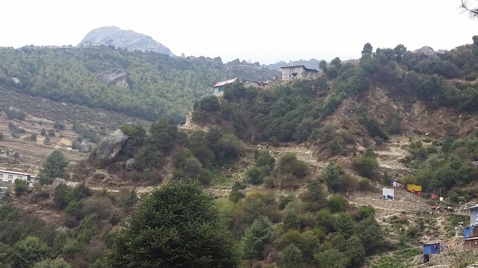
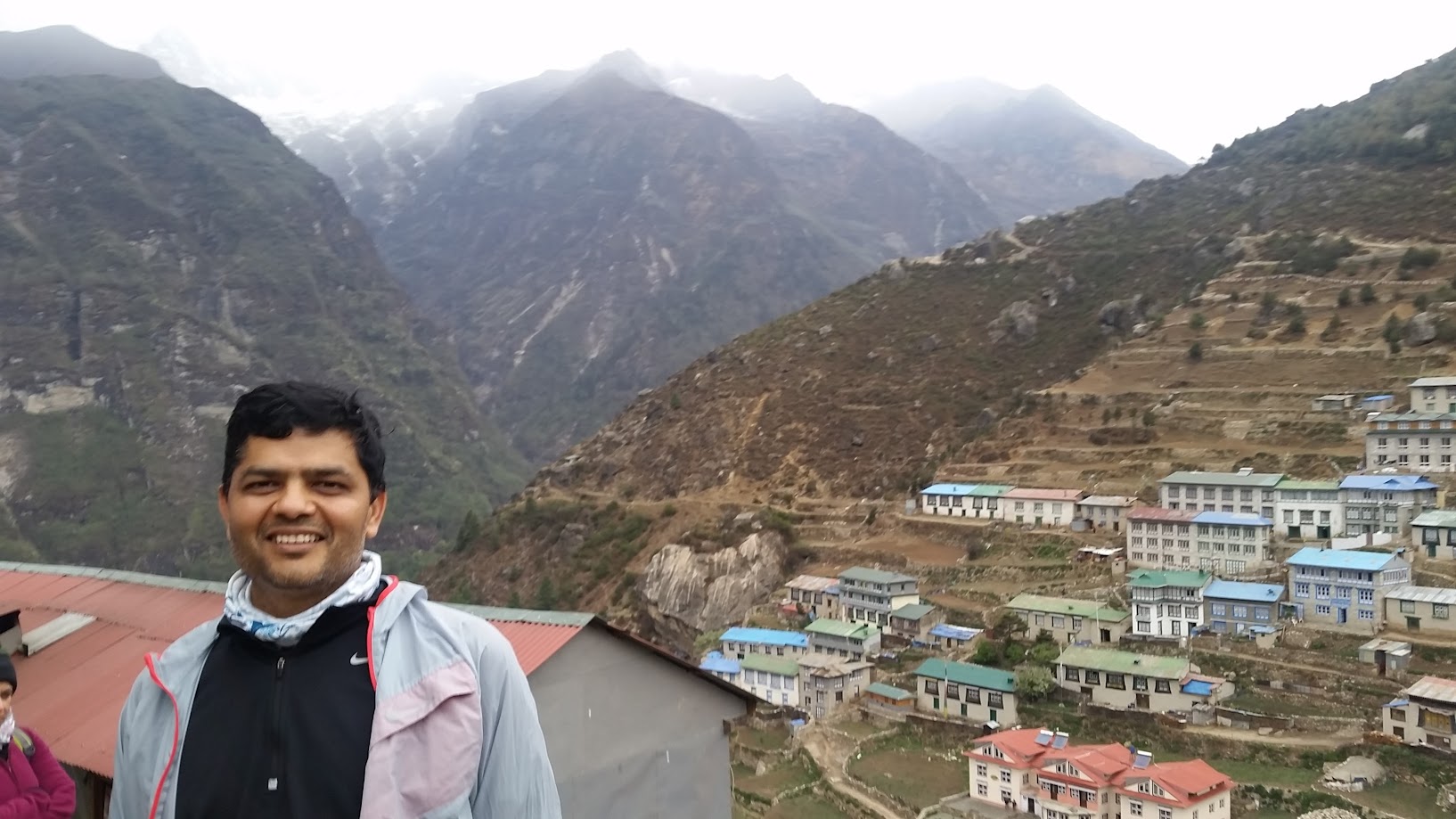
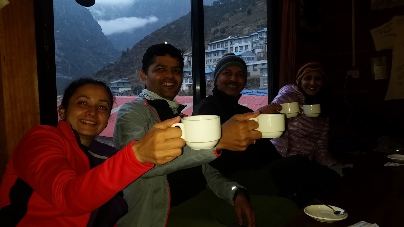
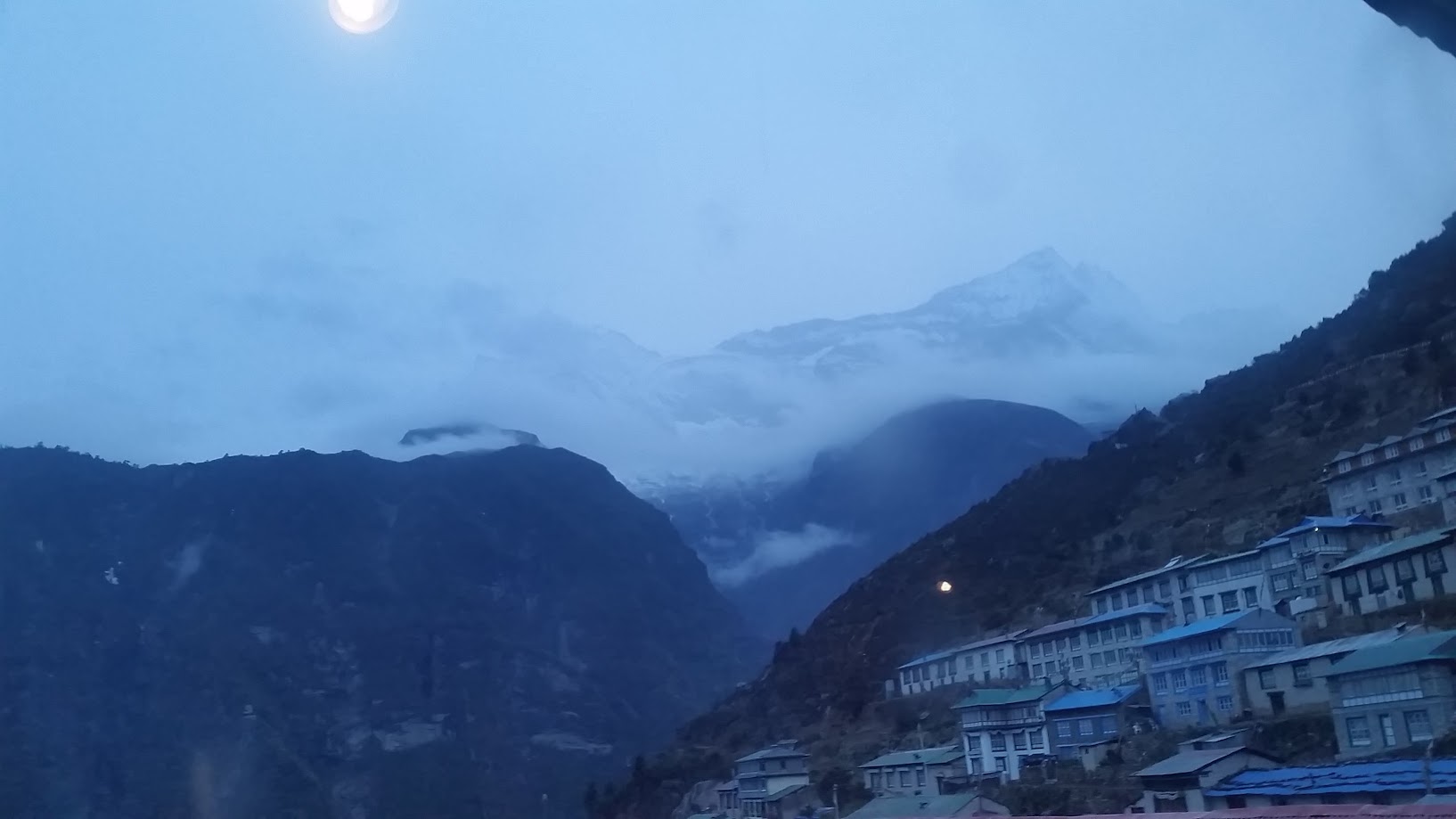
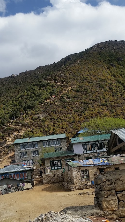
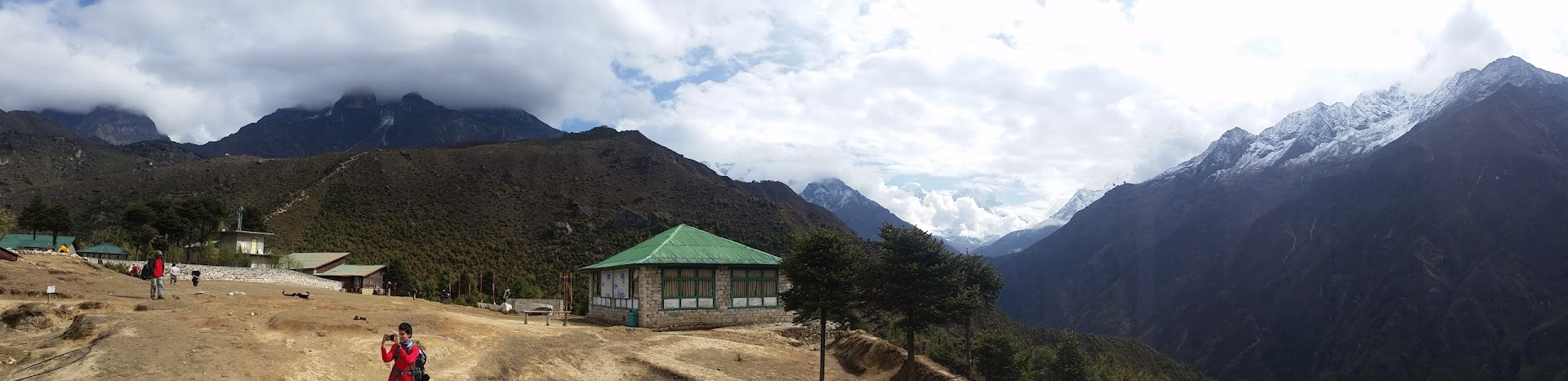
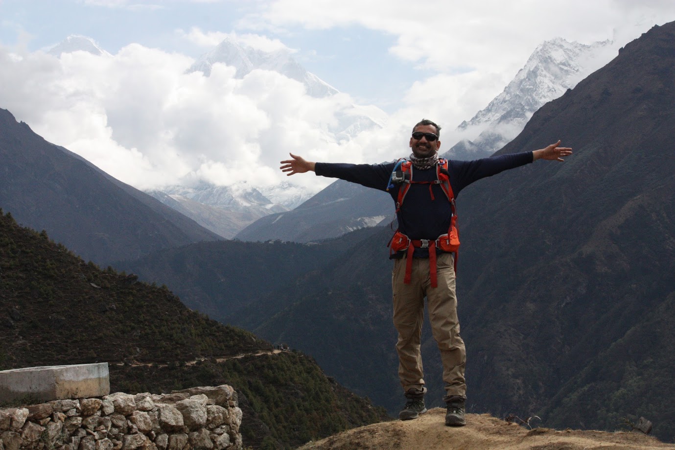
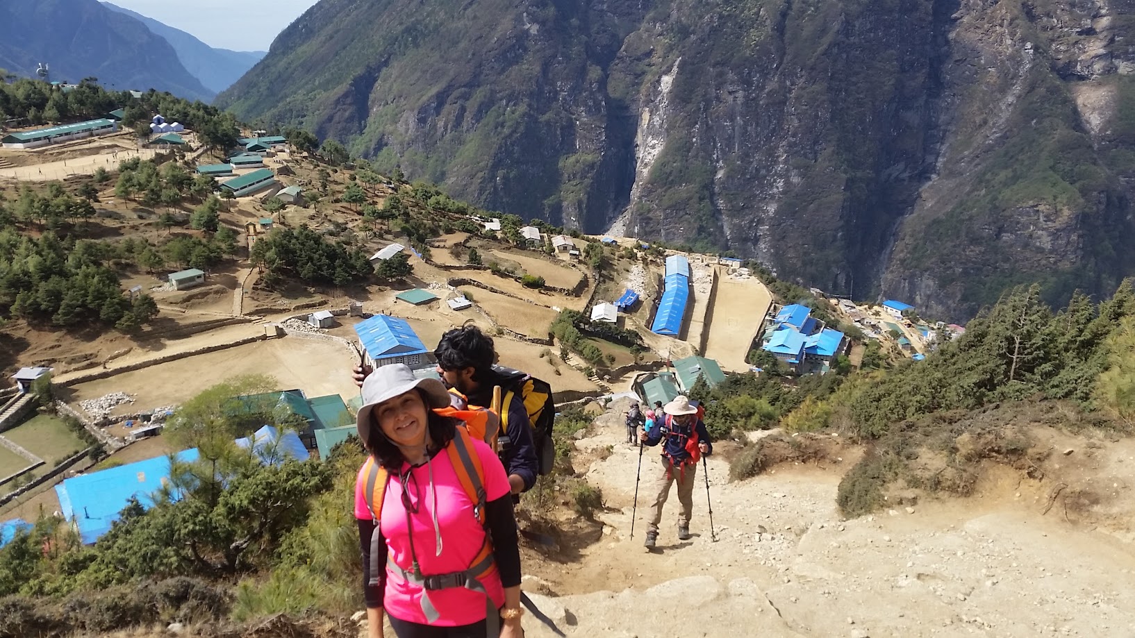
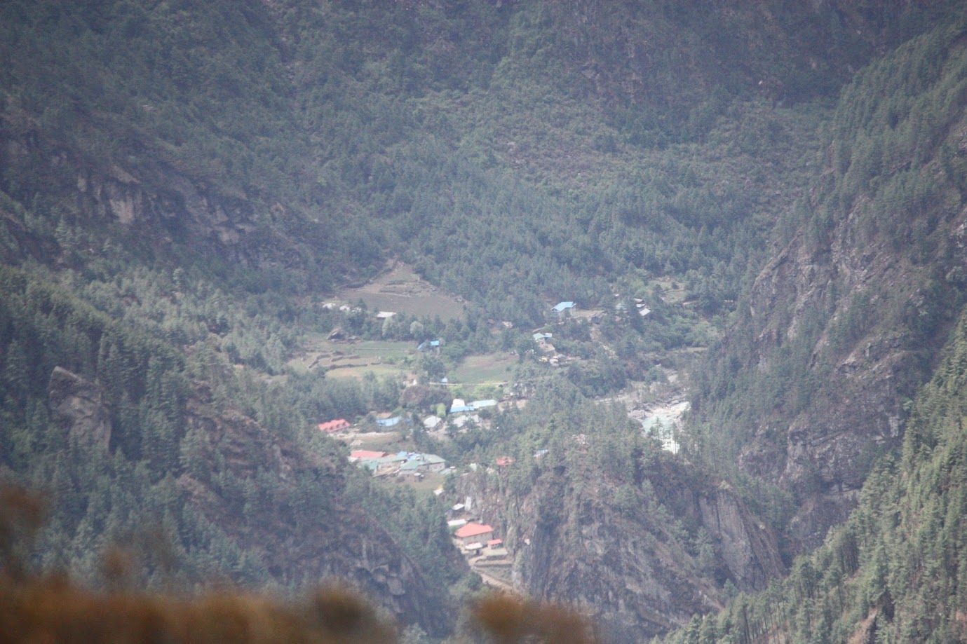
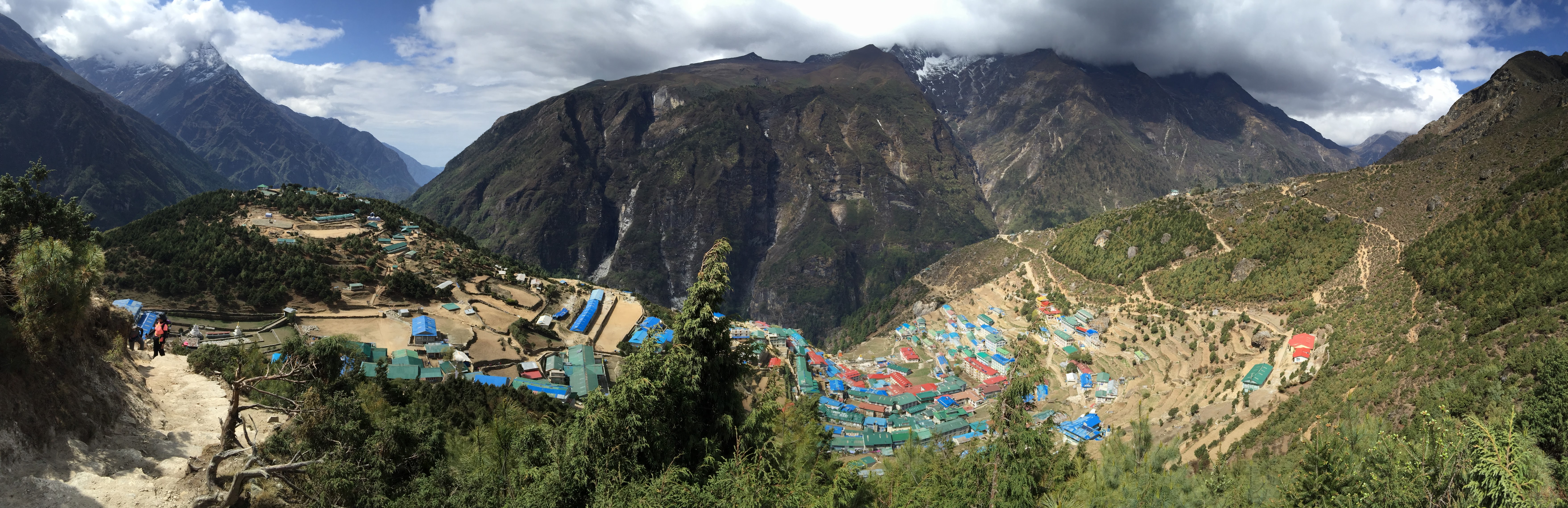
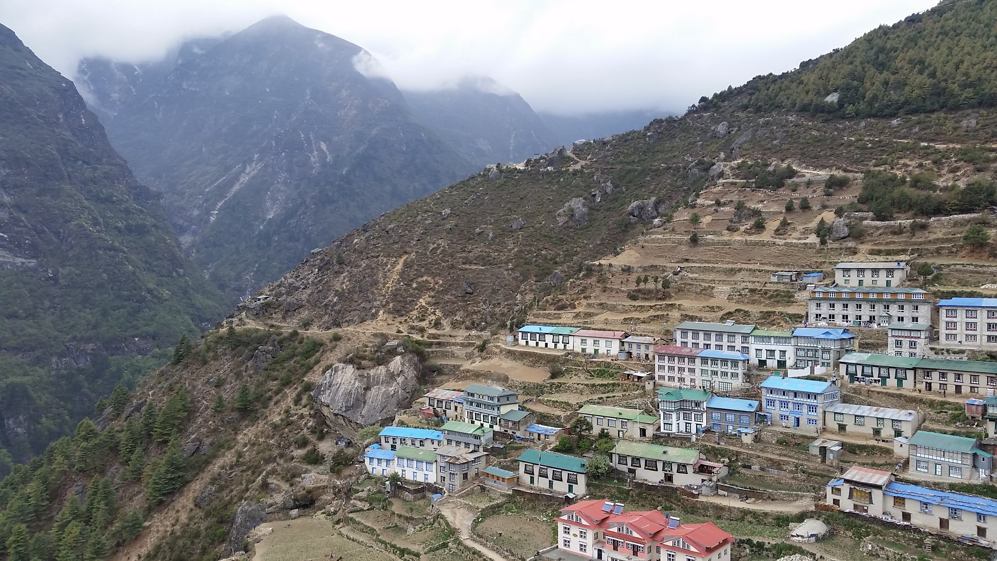
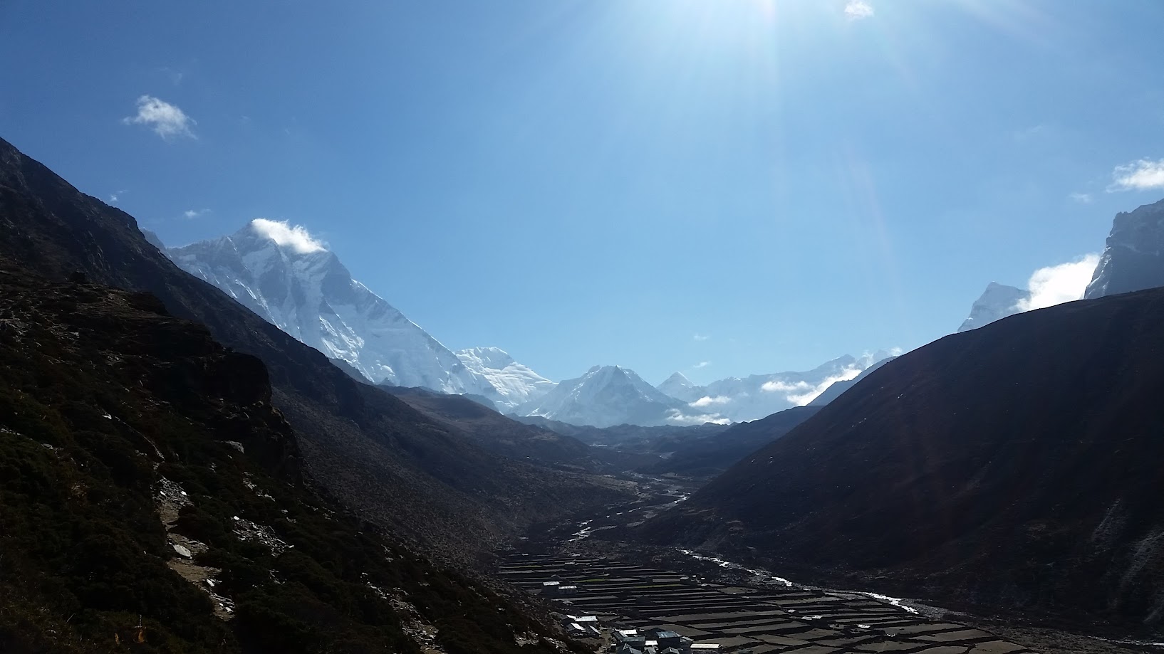
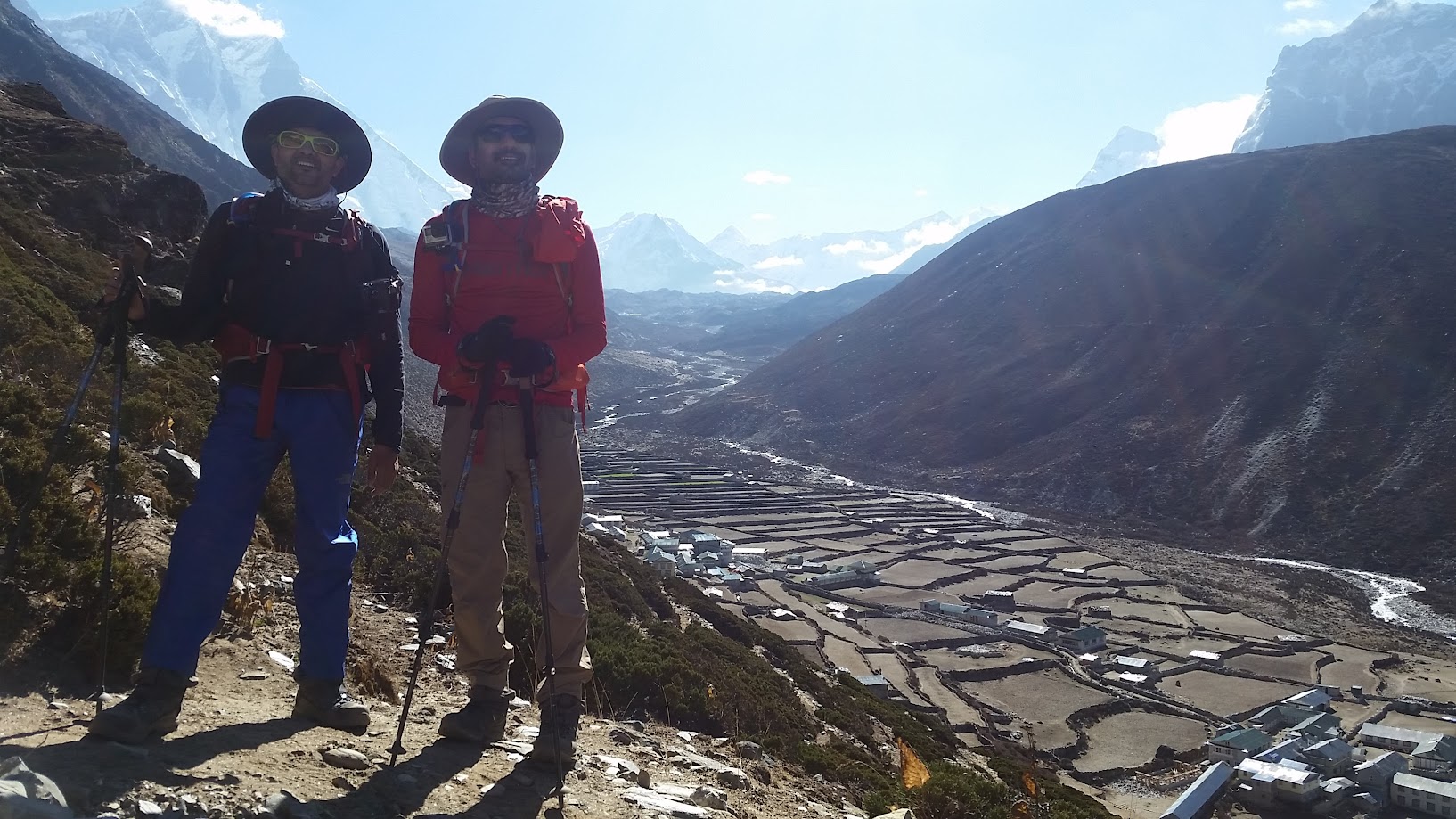
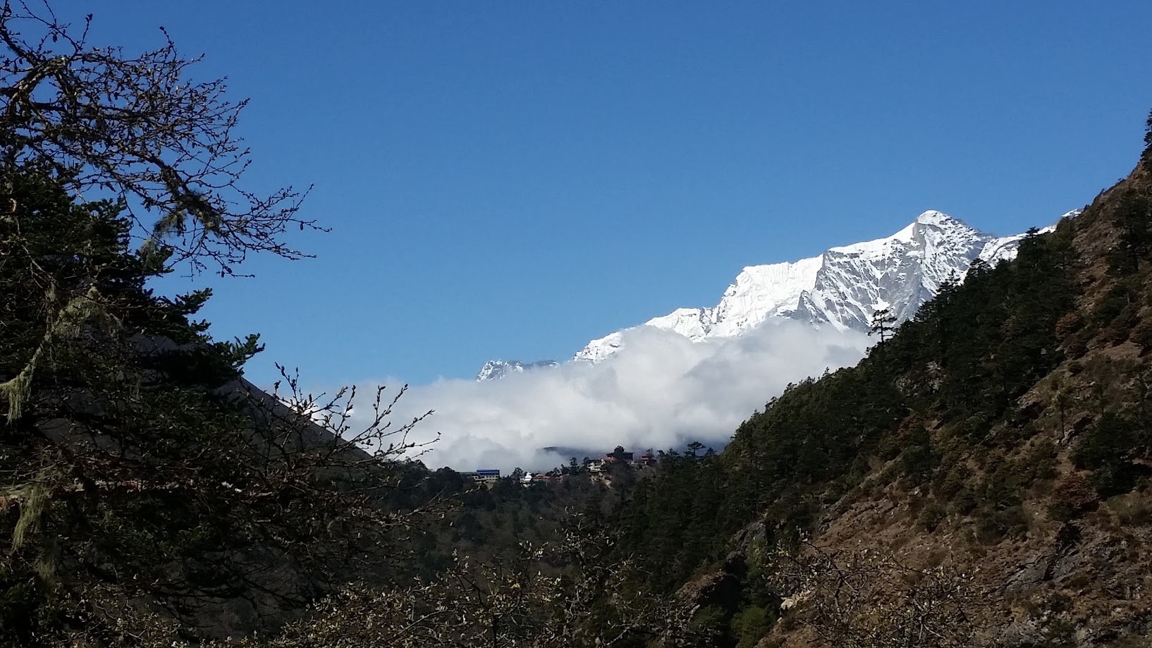
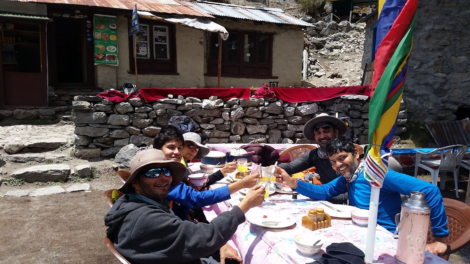
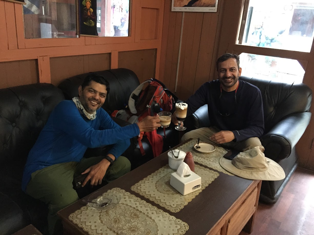
Colorful buildings set in the background of stunning scenery was a sight to behold. Namche Bazar was a major trading post between Nepal and Tibet until China took over Tibet and closed down the route. It still has plenty of shops, few bakeries and coffee houses. Last bit of luxury.
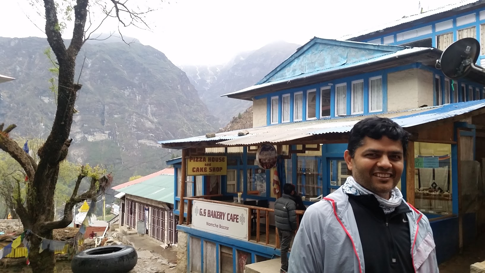
Cheers to one of the best cappuccinos I’ve had! Great cafe with a view to match. Seven of us spent a fun and coffee filled evening at Cafe Danphe in Namche. Don’t forget to ask the manager about their wifi password !
Day 3, May 11 2016: Acclimatization day
- Start: Namche. Elevation: 3,340 m / 11,286 ft. Time: 8am-3pm
- Acclimatization trek height: 3,900 m/ 12,795 ft. (Syangboche Hill)
- Elevation gain: 560m / 1,837 ft
- Terrain: Steep incline
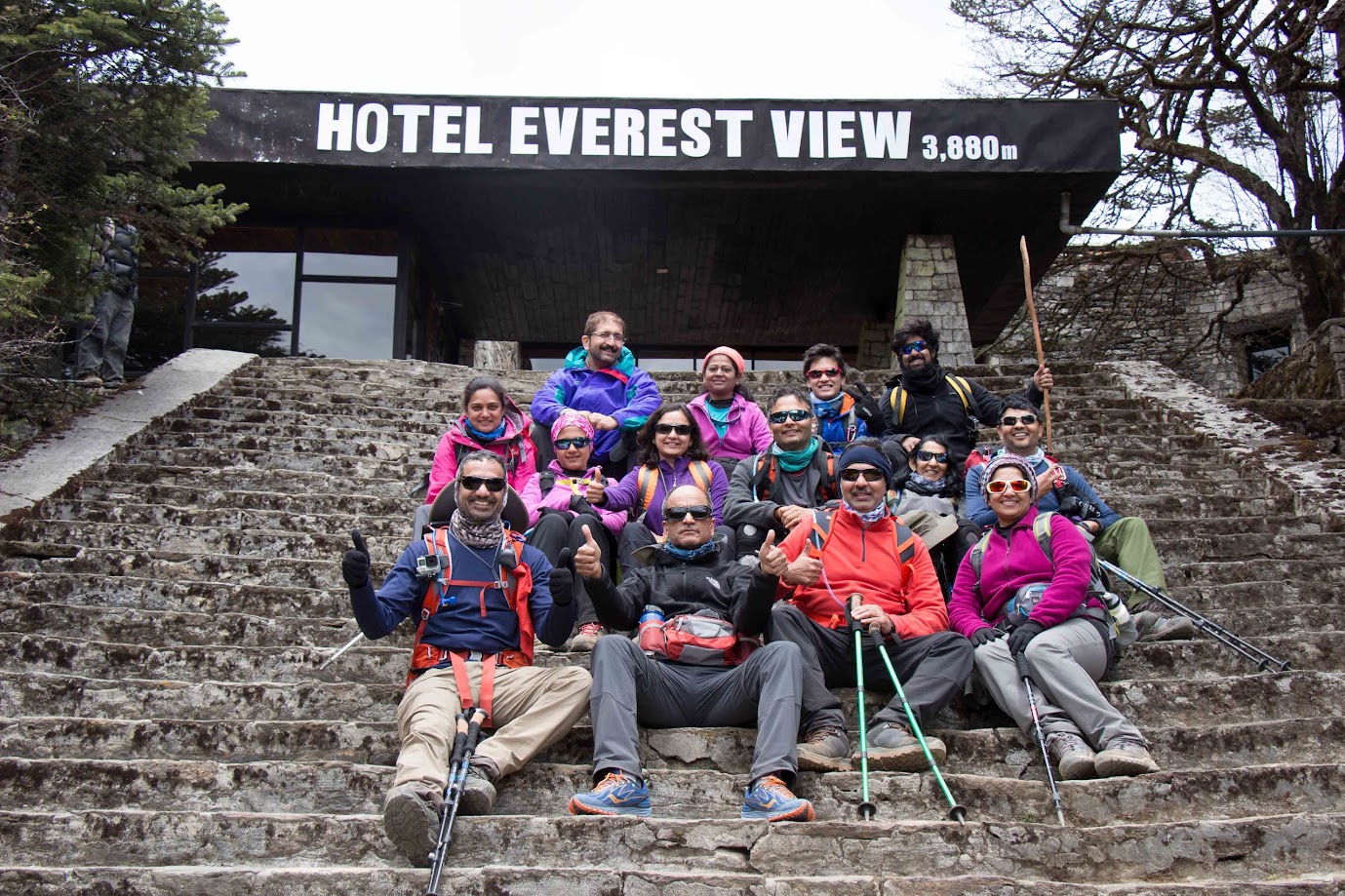
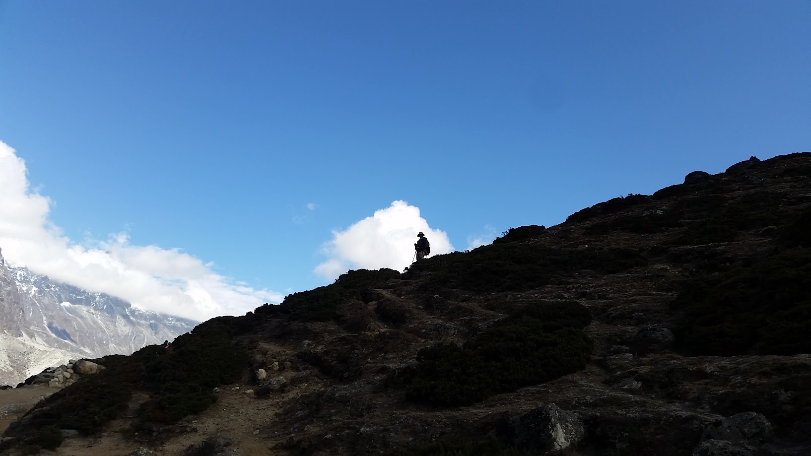
Day 3 was an acclimatization day. Rule of thumb is to add an acclimatization day every time you gain about 500m in elevation. However, acclimatization doesn’t mean that you simply get to rest! You climb a nearby steep hill for another ~500m and then come back down. This prepares you for the next elevation gain.
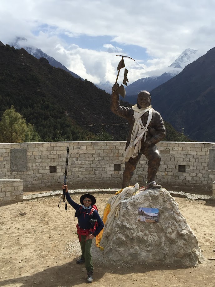
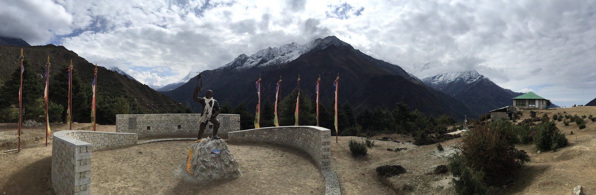
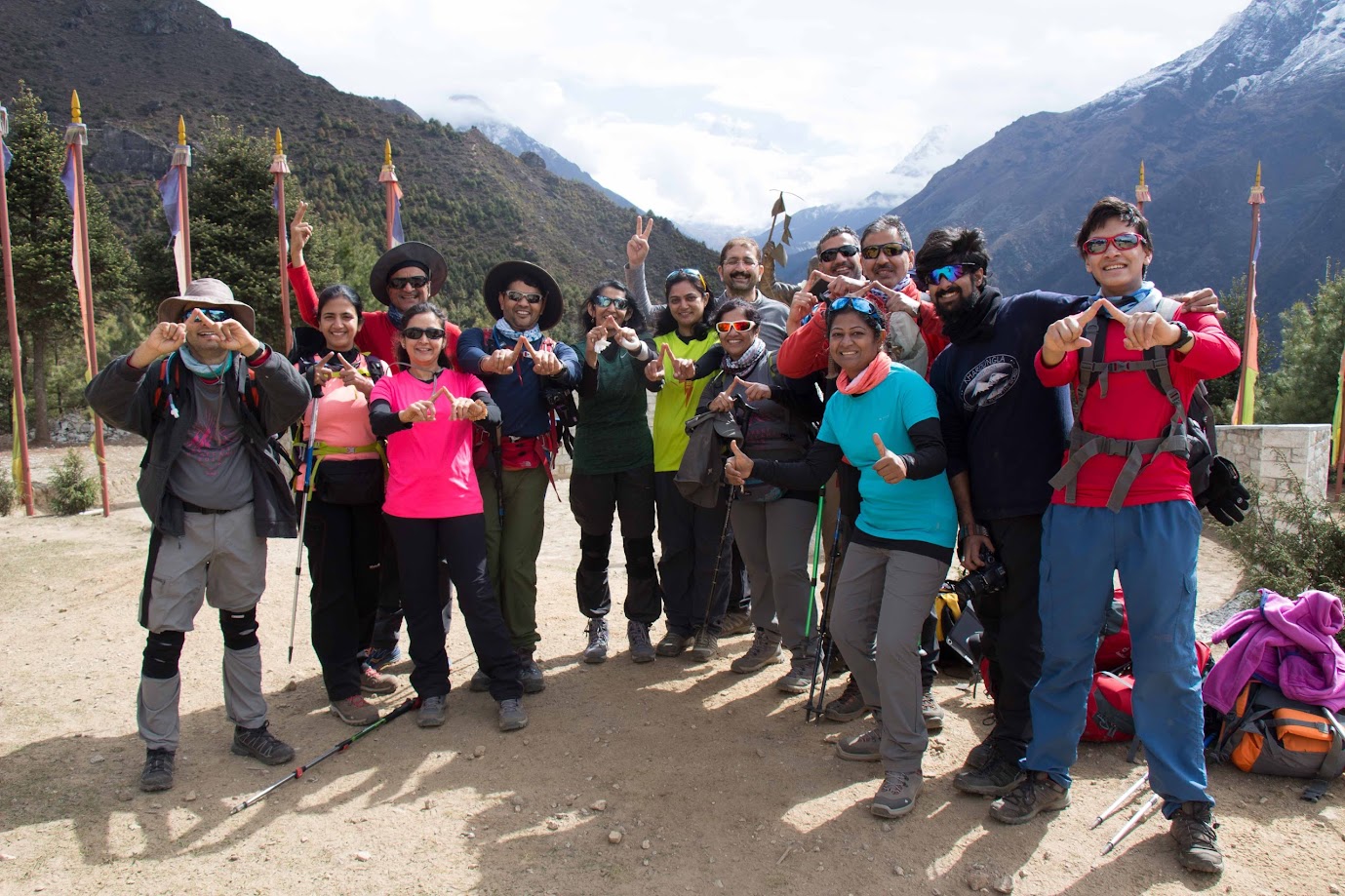
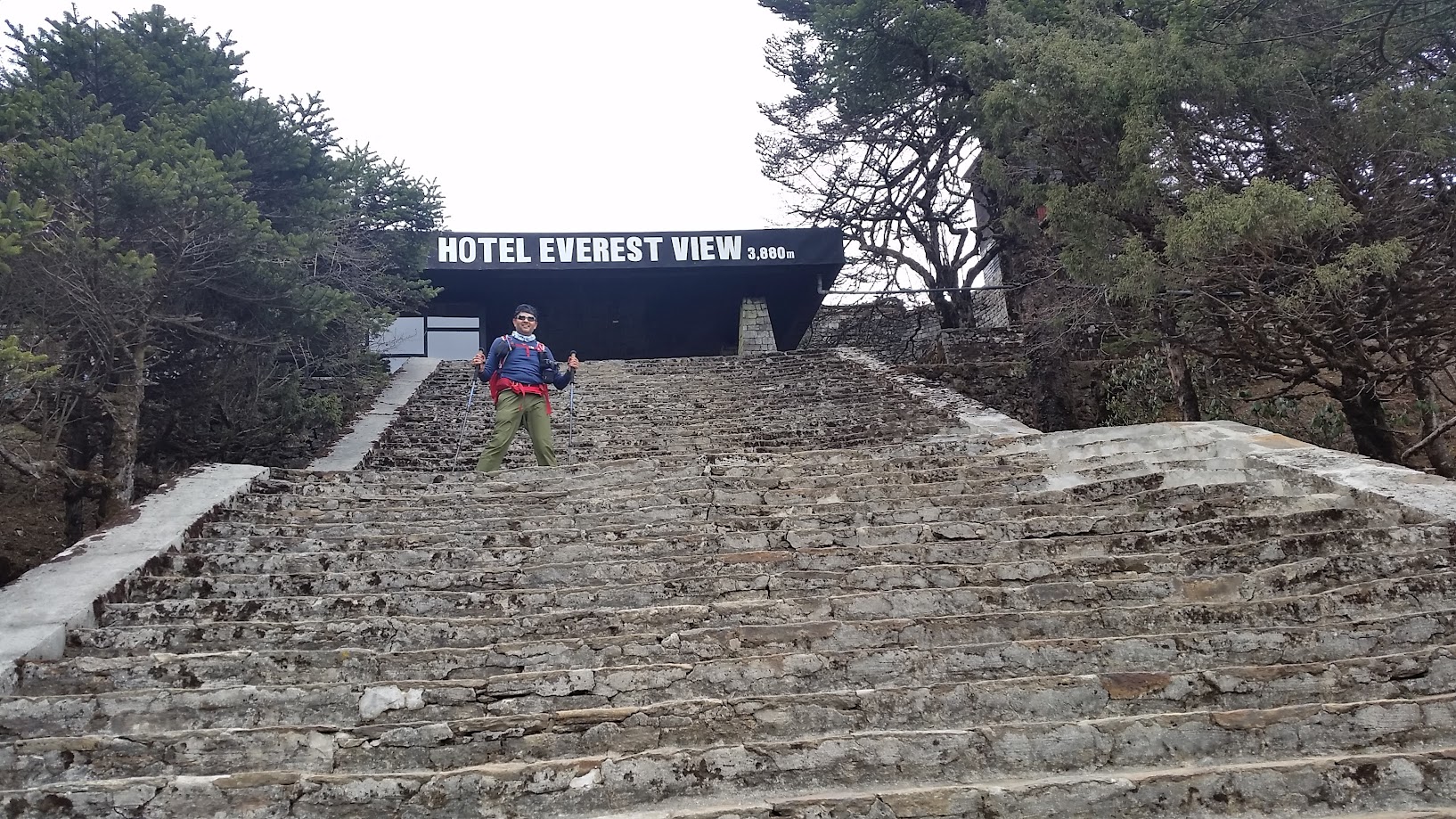
We went up on the Syangboche Hill and visited the Namche Museum along the way. The highest point on our trek was Everest View Hotel which is one of the highest placed hotels in the world.
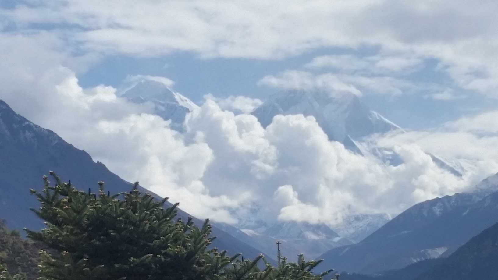
Views from the Namche Museum area. We got our first view of Mount Everest here.
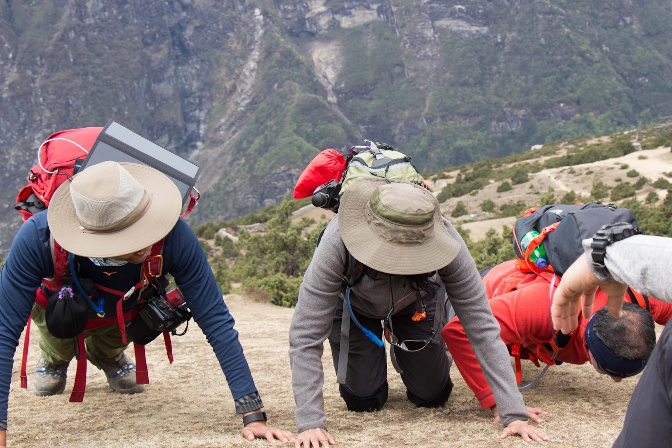
Pushups anyone? The middle one is cheating! 🙂

Statue of Tenzing Norgay
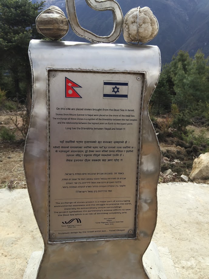
Also seen below are two stones brought from the Dead Sea in Israel. Stones from Mount Everest in Nepal were places on the shore of the Dead Sea. The exchange of these stones is a symbol of friendship between Nepal and Israel and also a relationship between the highest and lowest points on the Earth!
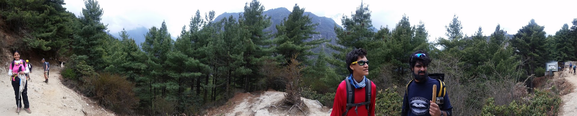
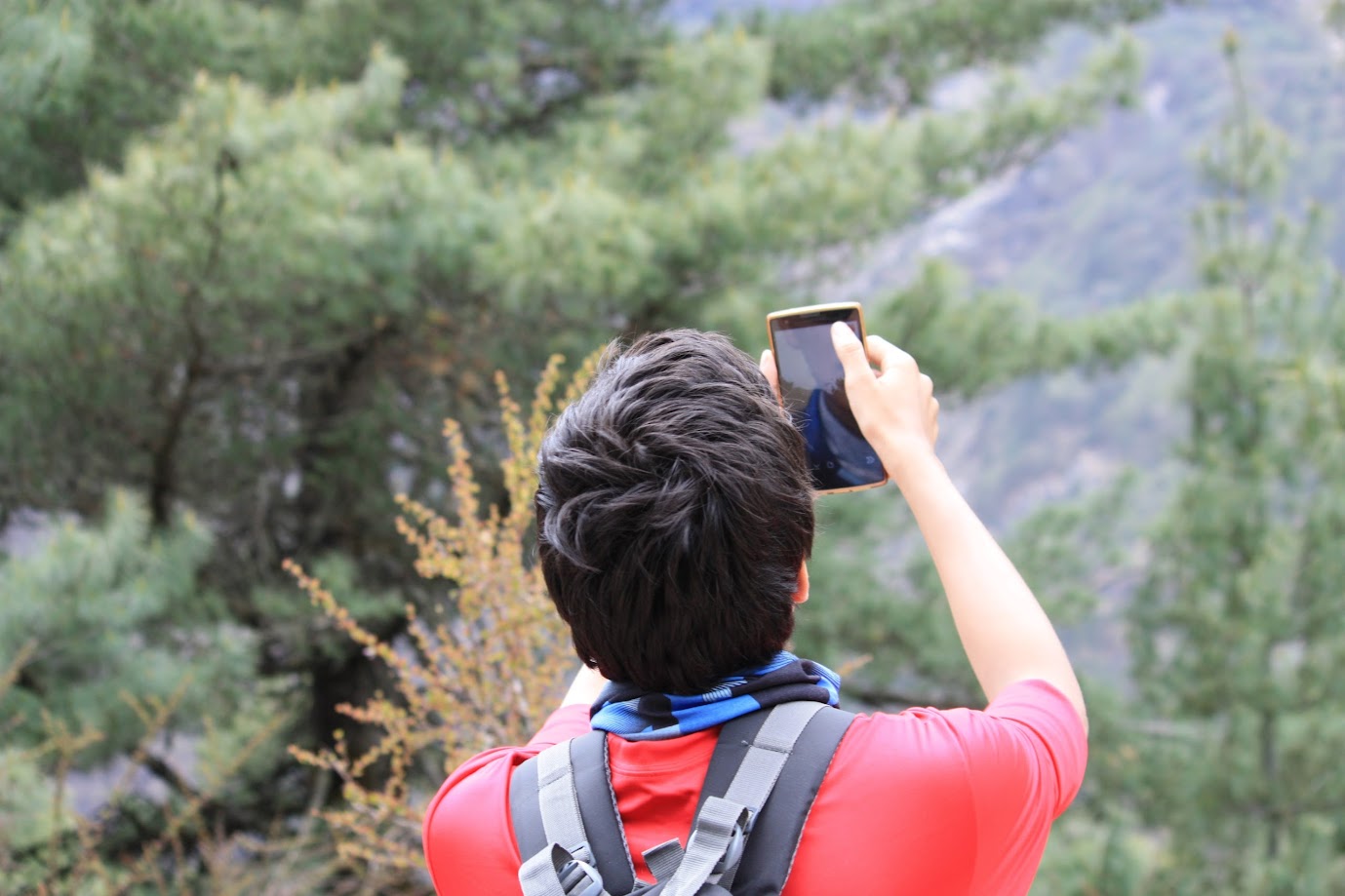
Continuing the climb to Hotel Everest View with ample photo breaks along the way
Short video clip showing our trek route on a topographical 3D model of the area
Hotel Everest View was worth the climb. We were surrounded by mountains and the weather was perfect. We spent a couple of hours there drinking coffee and eating snacks. And then suddenly there was music in the air. Turned out that several members in our group were great singers. Supriya, Anjali, Sudhir and Rupali started a never ending melody of songs which continued on the trek down to Namche. I have included a few short clips below. Prashant contributed by whistling several popular tunes – hands down the best whistling I have ever heard. Unfortunately I don’t have any video clips of that.
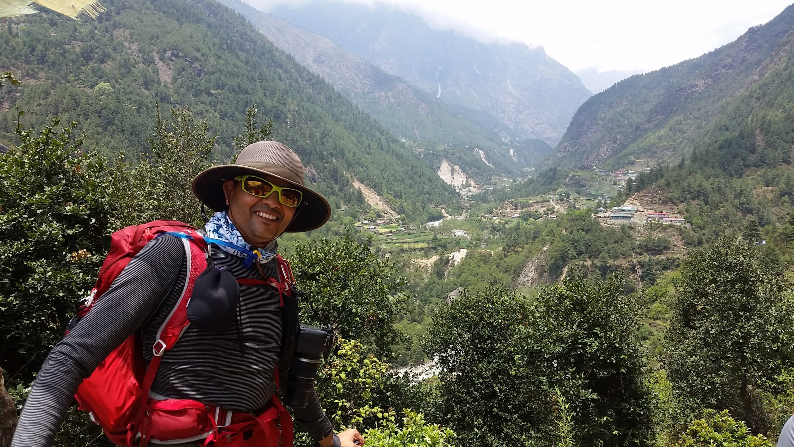
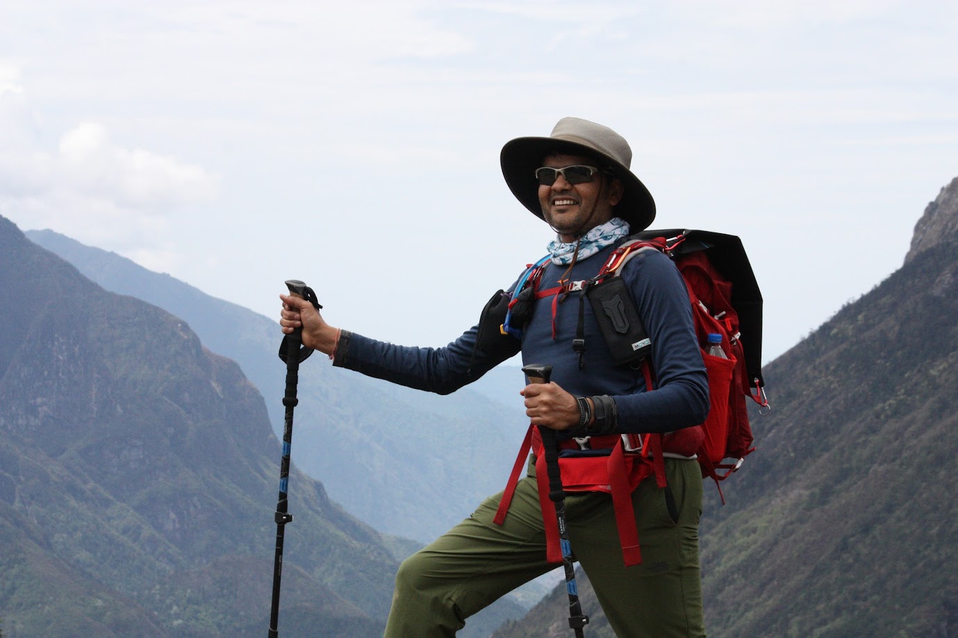
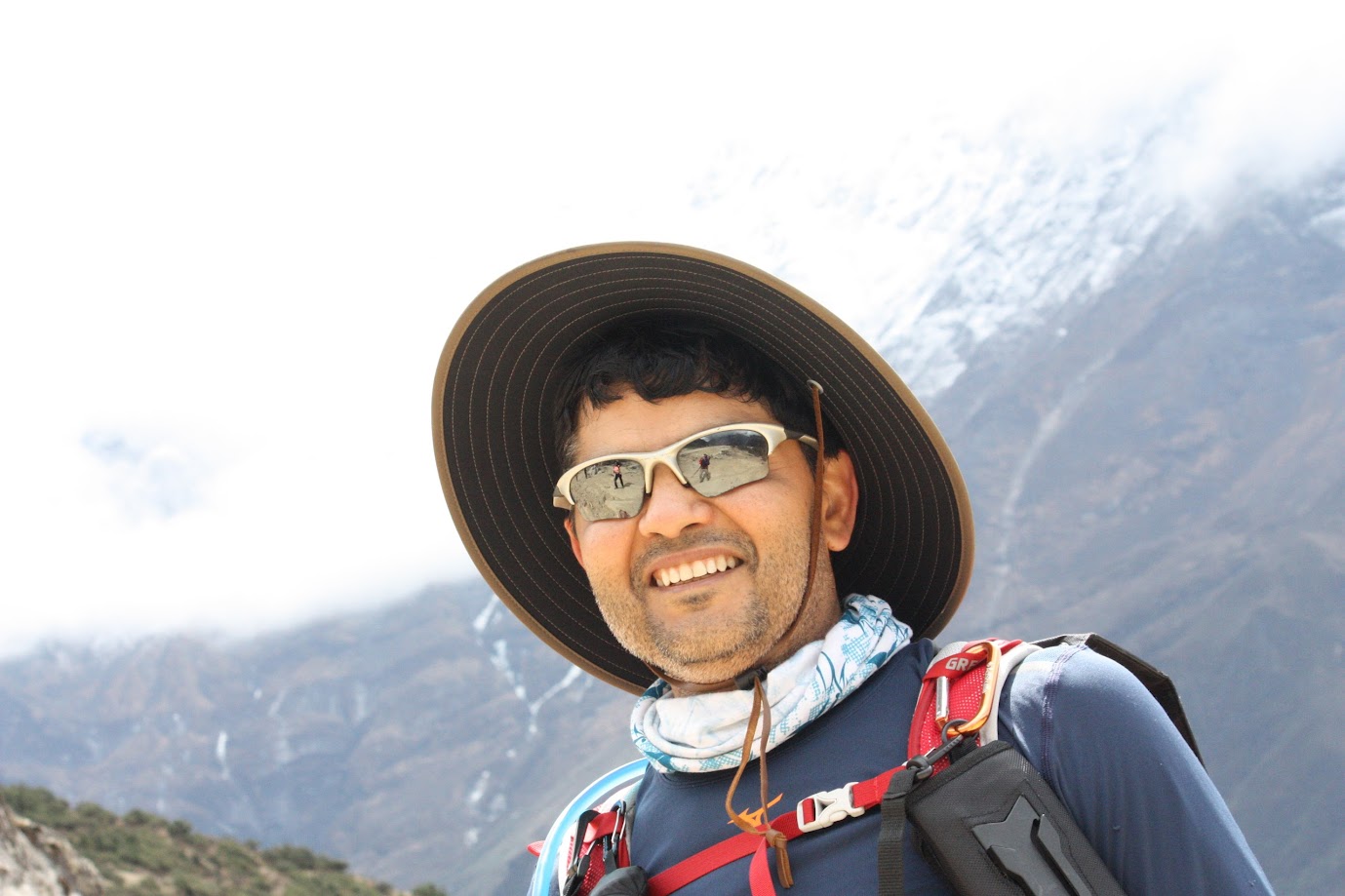
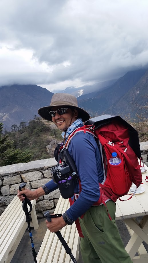
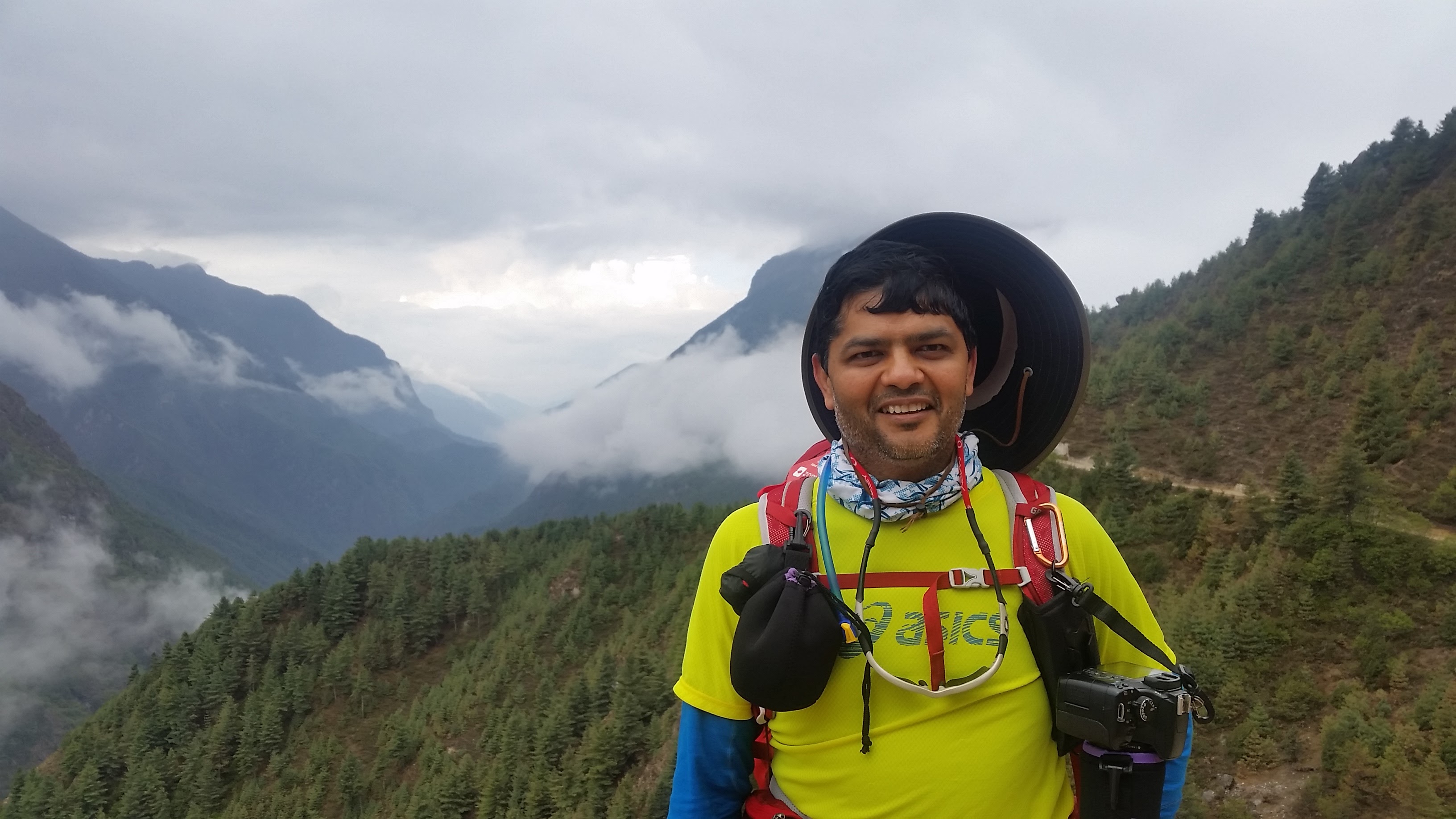
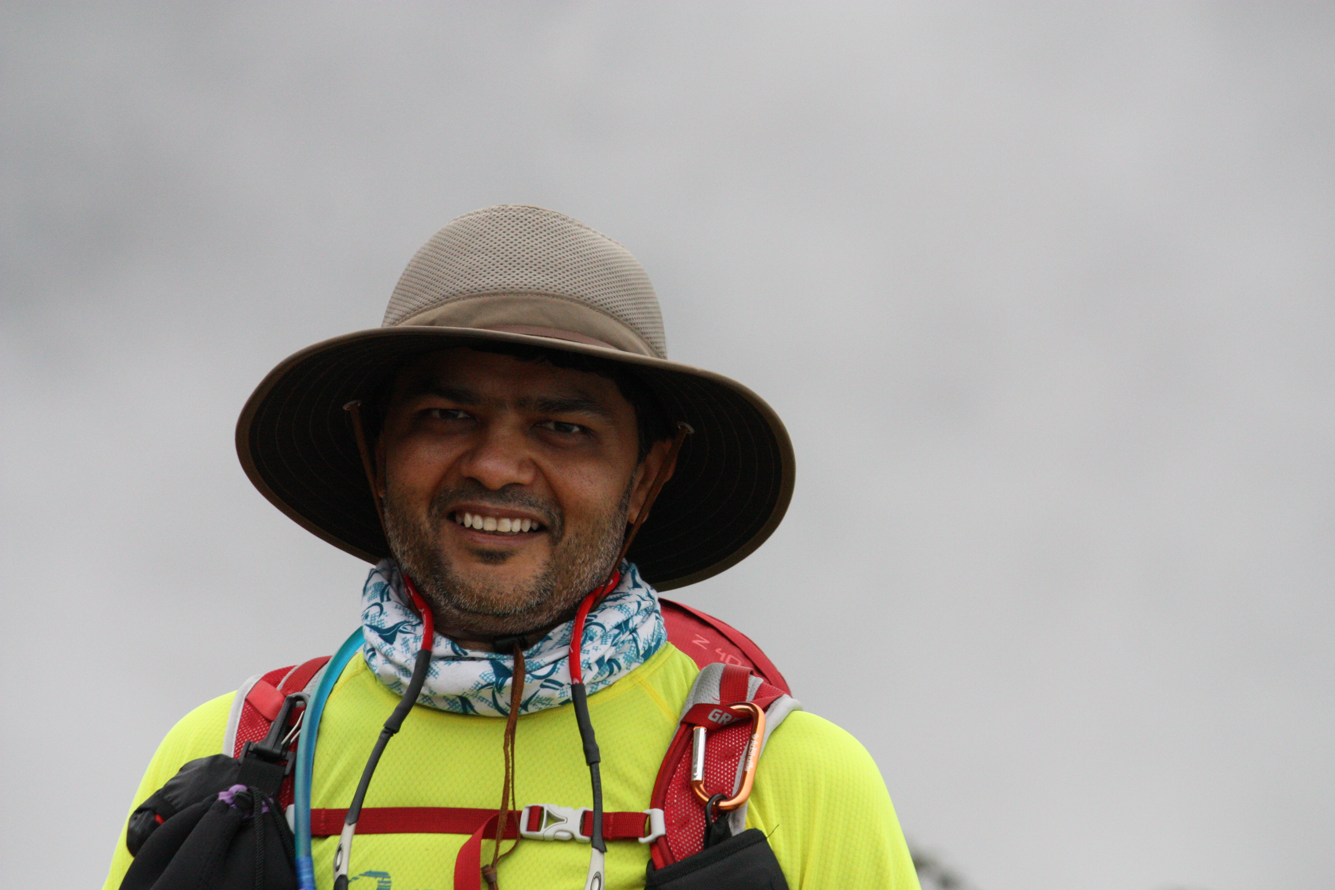
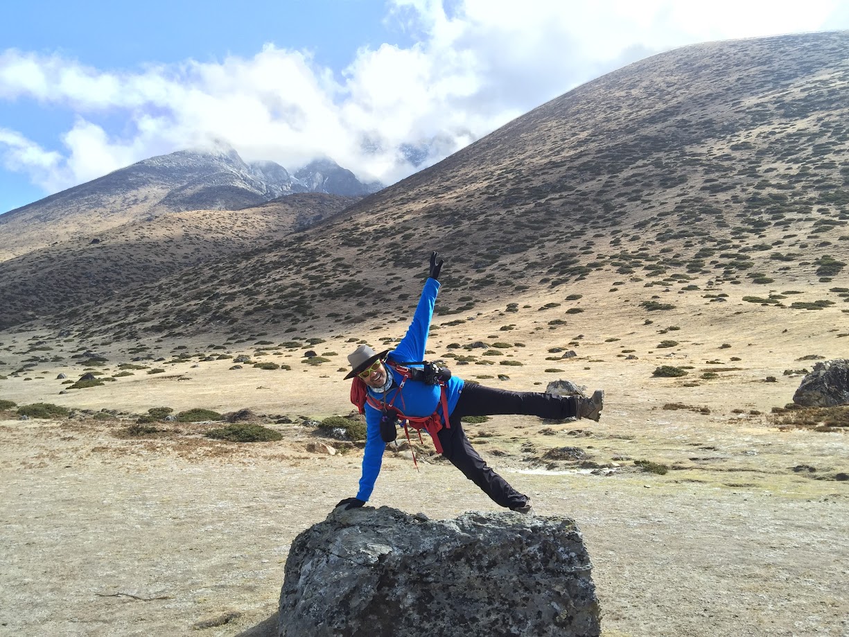
My trekking gear – carrying about 28 pounds of weight. DSLR camera hanging in the front using special clips for easy access. Solar panel on the back to charge battery pack while trekking. 2 liters of water in the camelbak and another 2 liter in the side pockets. Emergency kit, extra clothing layers, energy bars, sun screen etc. in various pockets. Waterproof hiking shoes with shoe gaiters. Trekking poles, sun hat, sunglasses – the works.
Short video clips of the singing session while trekking back down to Namche
Day 4, May 12 2016:
- Start: Namche Bazar. Elevation: 3,340 m / 11,286 ft. Time: 7am
- End: Tengboche. Elevation 3,900 m/ 12,795 ft. Time: 1:30pm
- Elevation gain: 560m / 1,837 ft
- Distance: 12 km (7.5 miles)
- Terrain: Nepali flat followed by a steep hill climb at the end
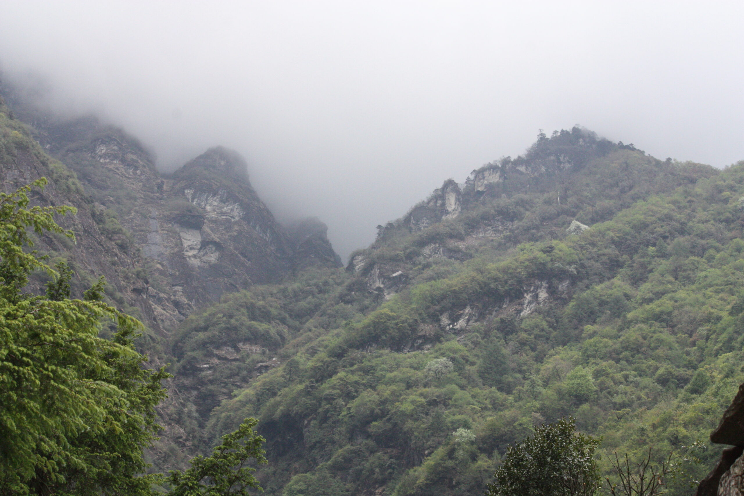
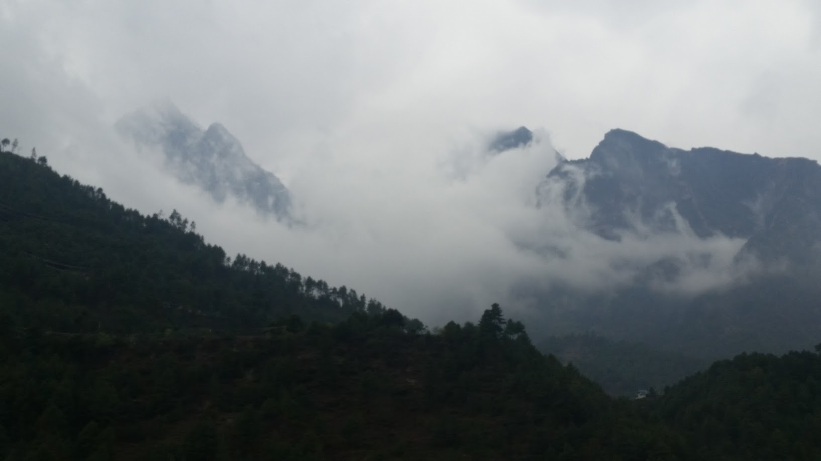
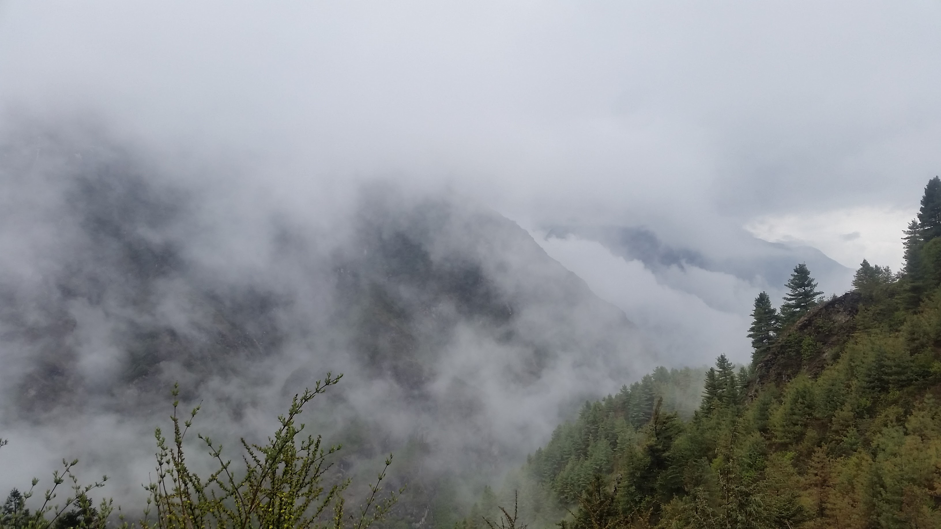
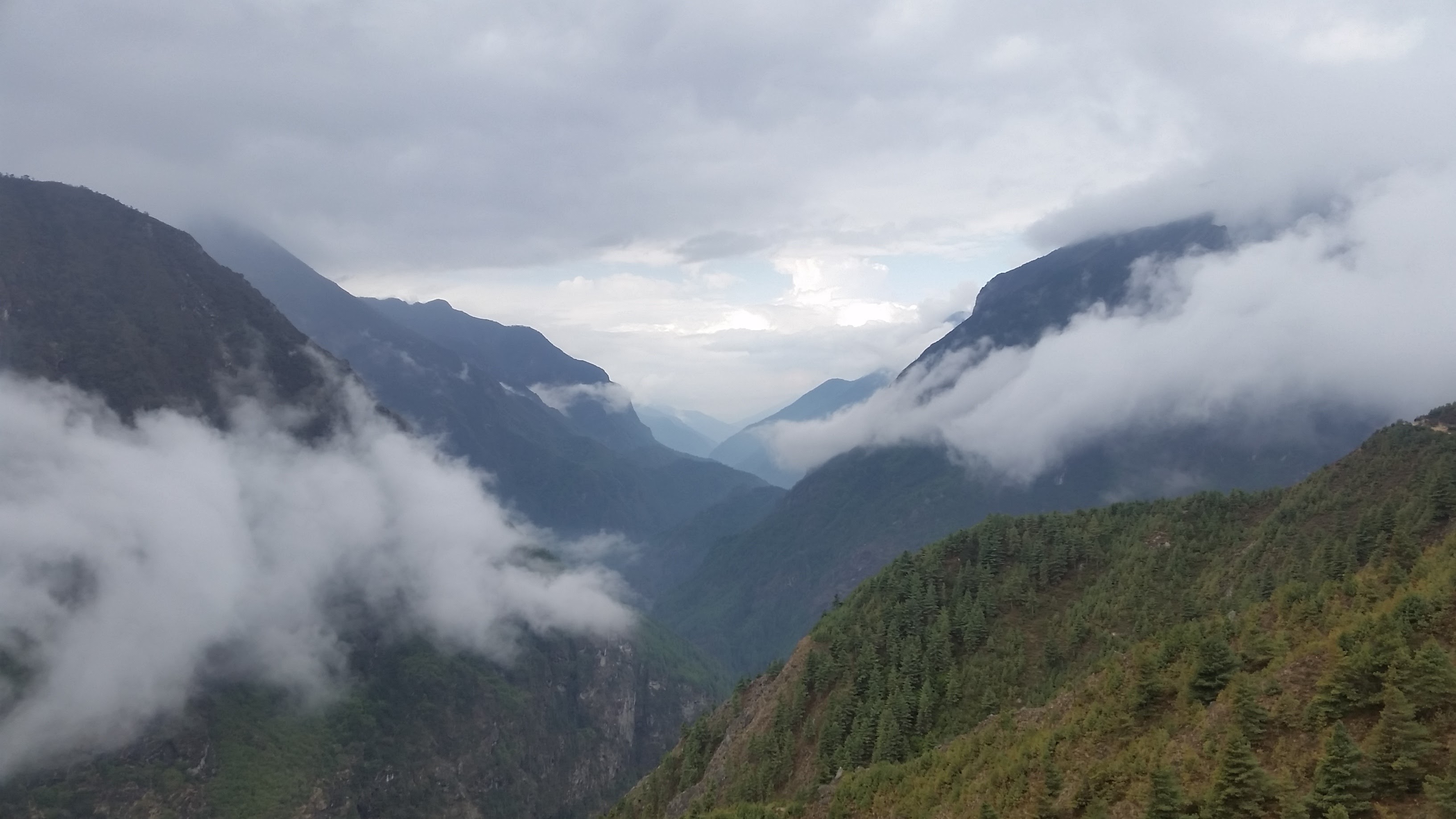
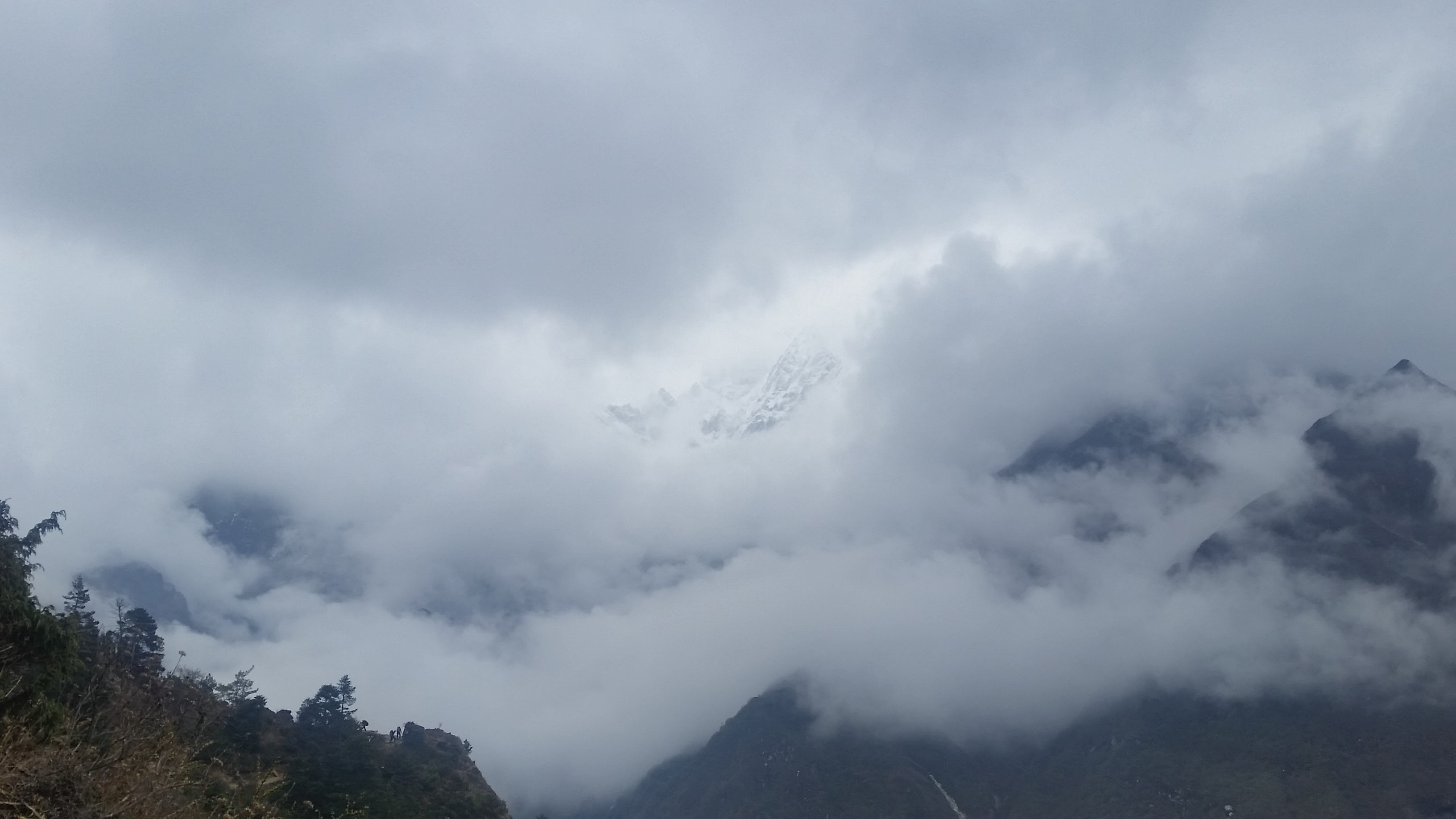
We decided to start early today. Up at 5am, breakfast at 6am and out by 7am. The weather was quite foggy at the start. Although it blocked the distant views, it had its own magic and mystique. The weather cleared up before long. You can see the gradual fading away of fog in the pictures.
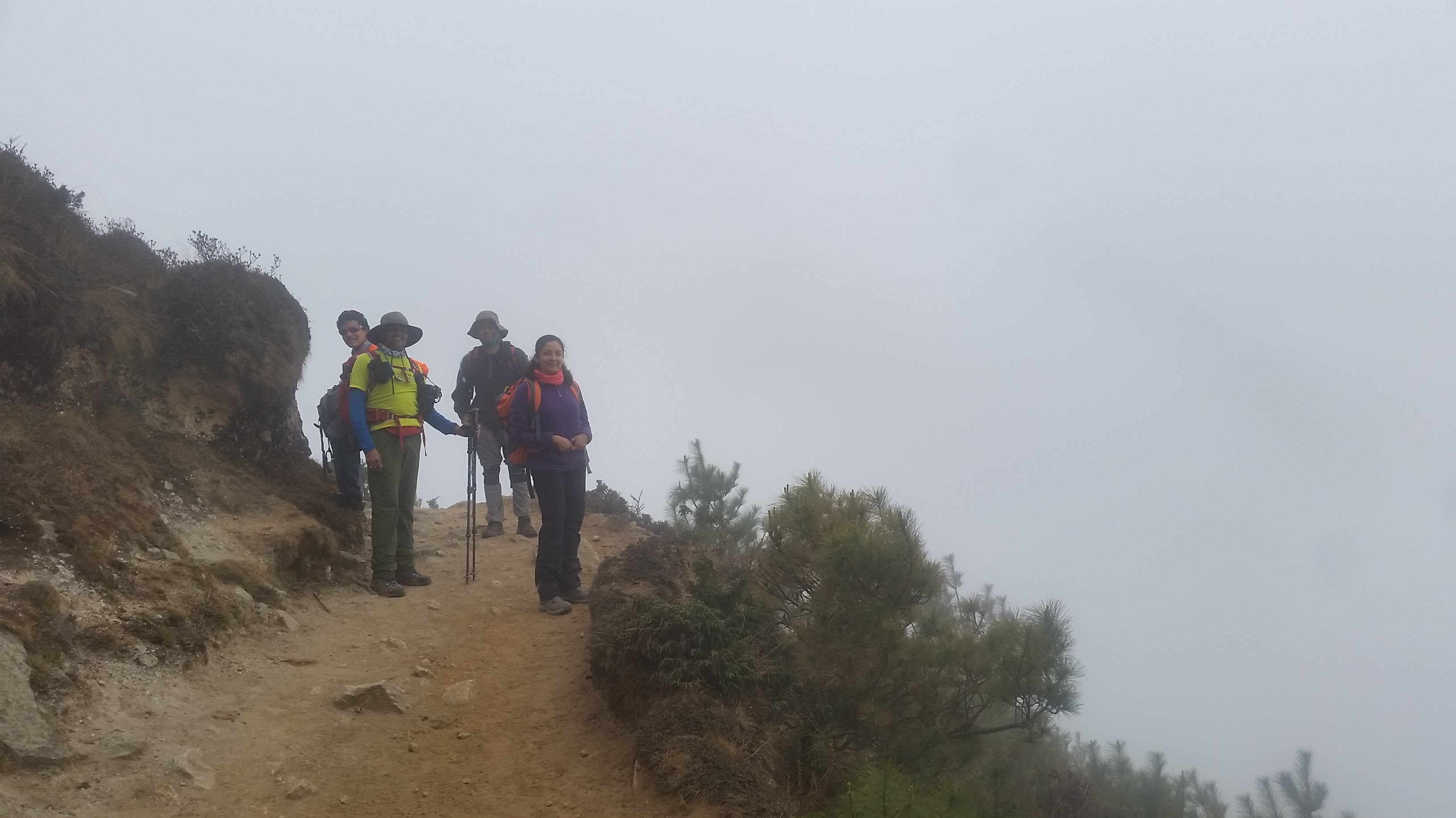
Edge of the earth!
These are the suspension bridges we crossed on the way to Namche just two days ago! Now they look so distant.
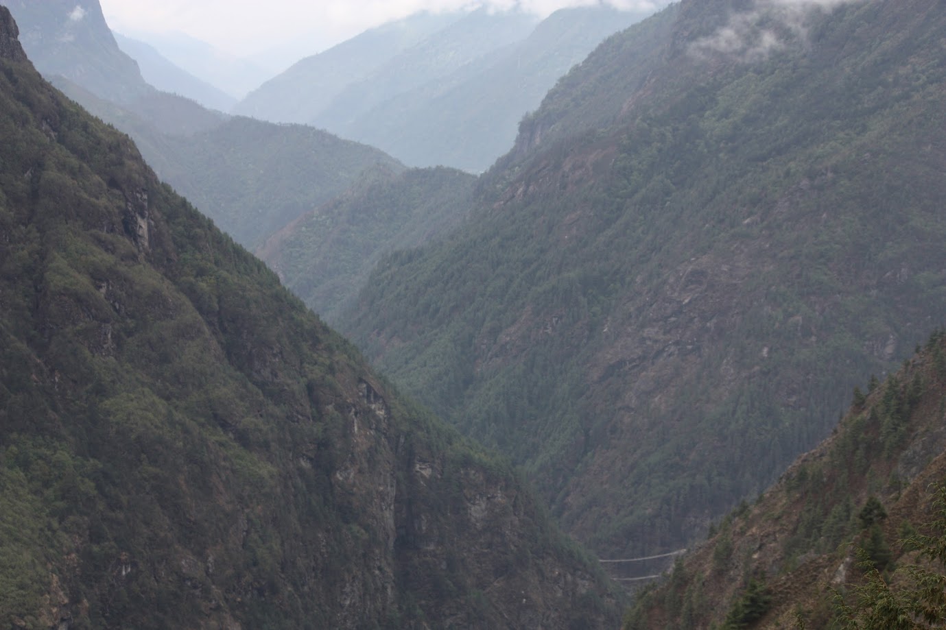
Short video clip showing how far we had to climb down and then back up to reach Tengoche. We climbed down about 200m to reach Phungi Thenga where we had lunch. After lunch it was a steep 600m+ climb up to Tengboche. We made a mental note of avoiding steep climbs immediately after lunch 🙂
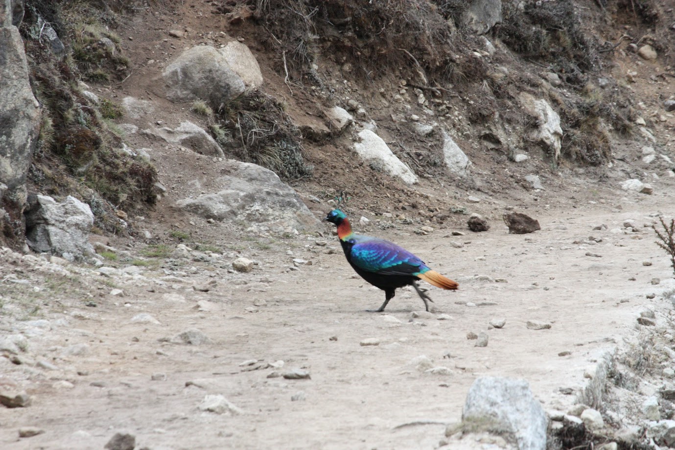
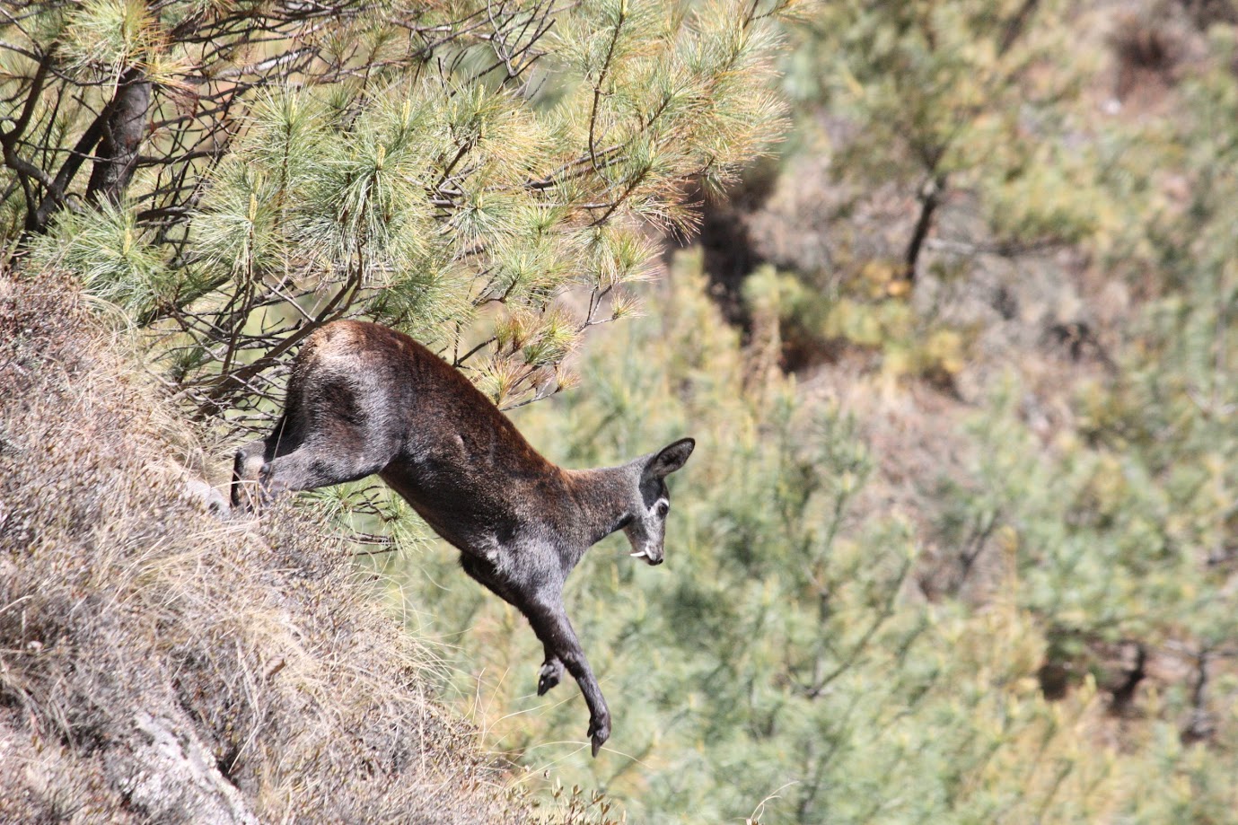
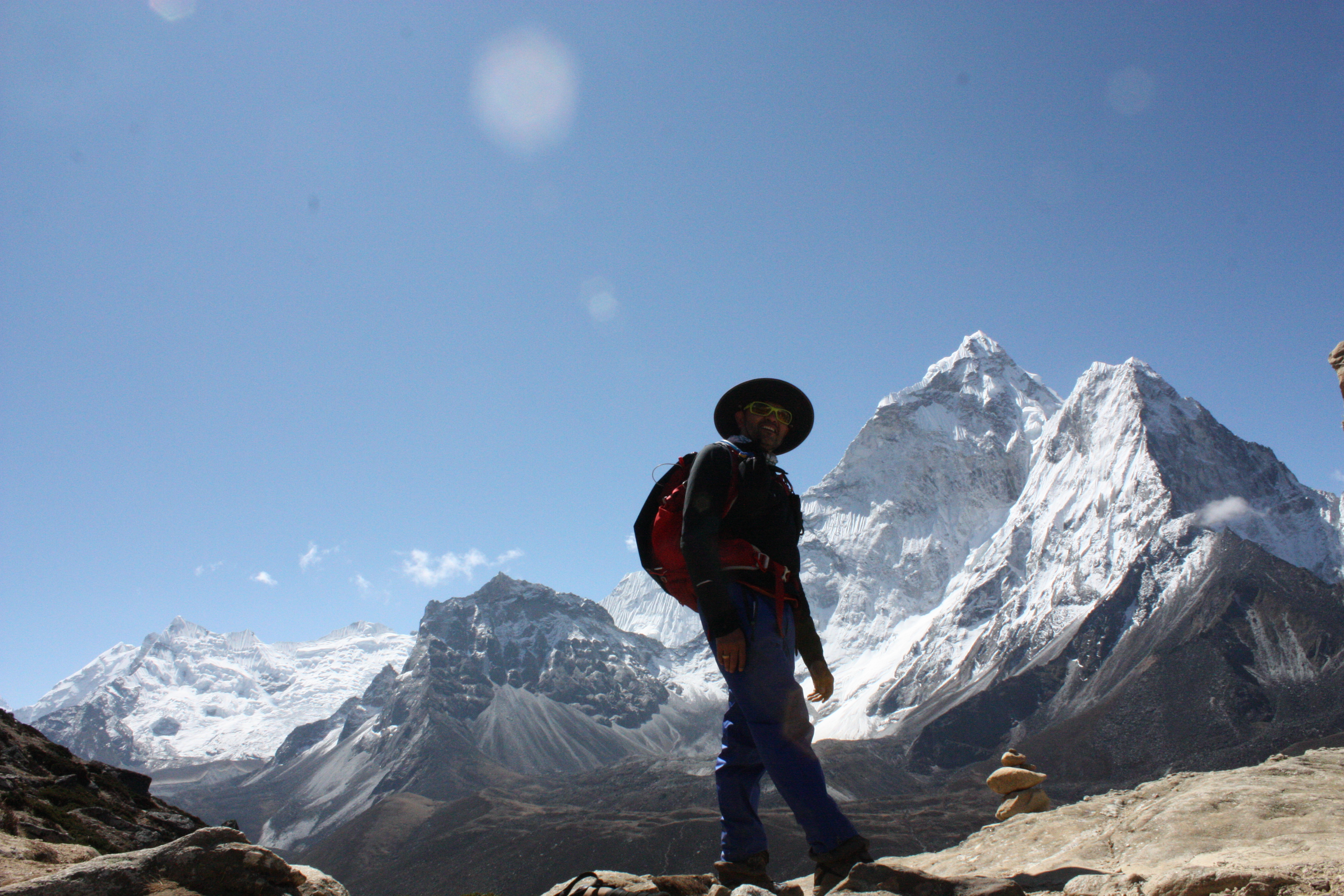
Left: Nepal’s national bird – Danphe or Himalayan Monal. Gorgeous colors. Right: Kasturi Mrig (Musk Deer)
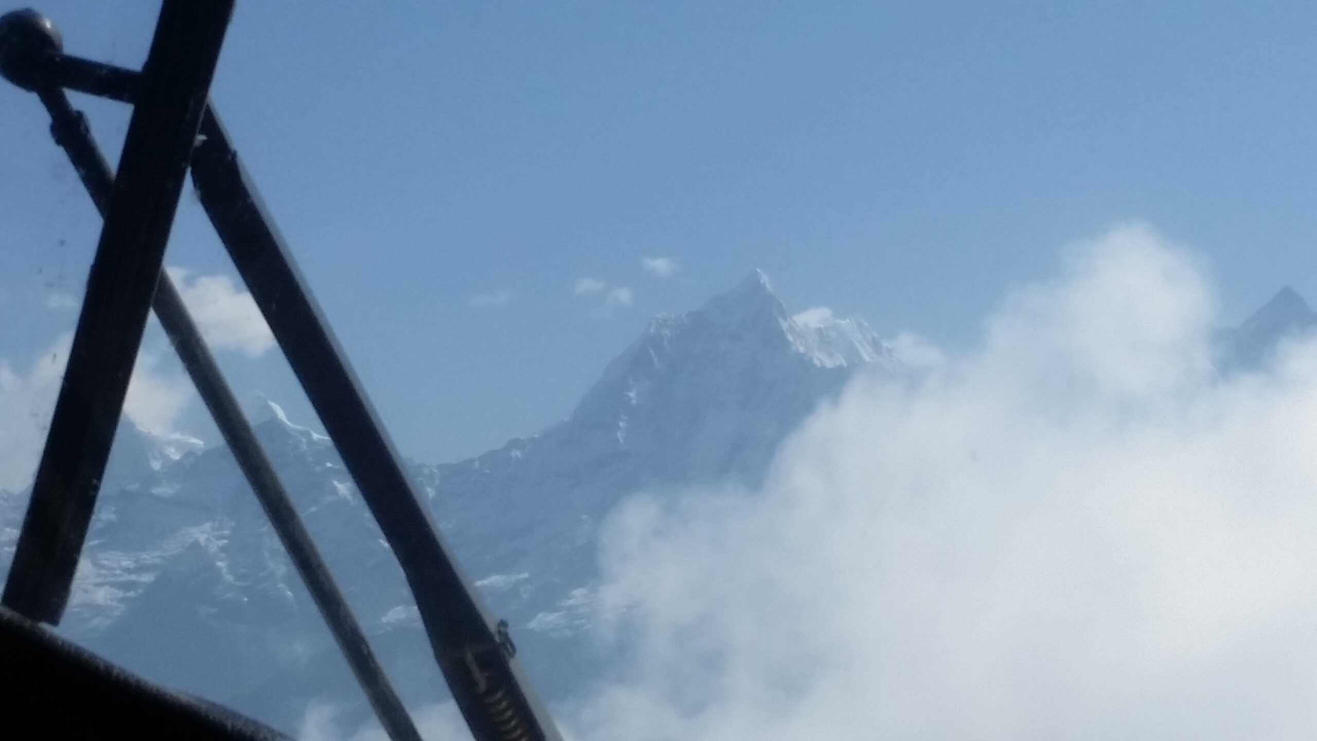
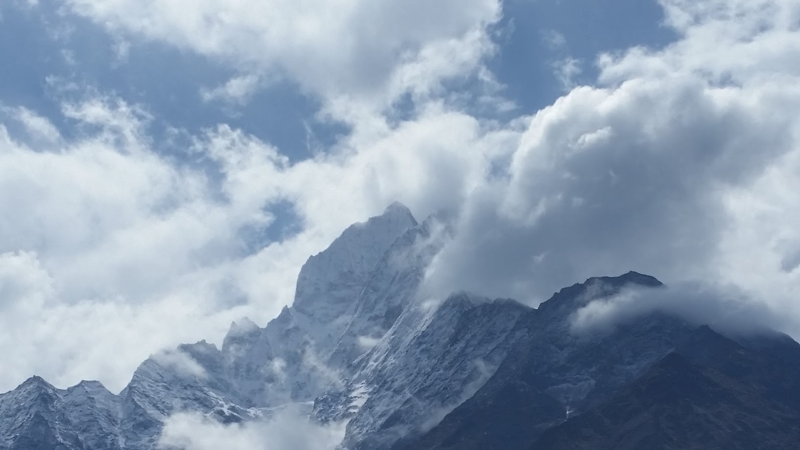
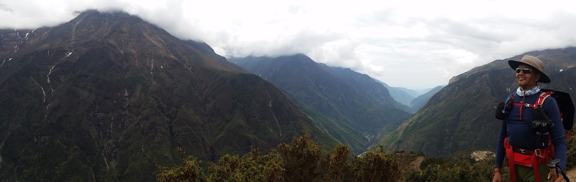
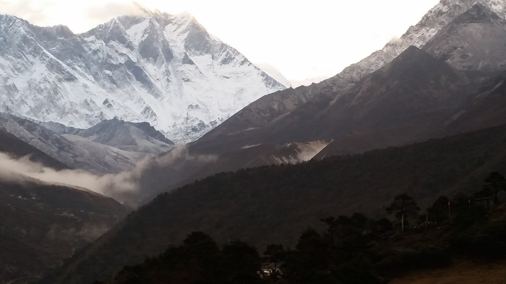
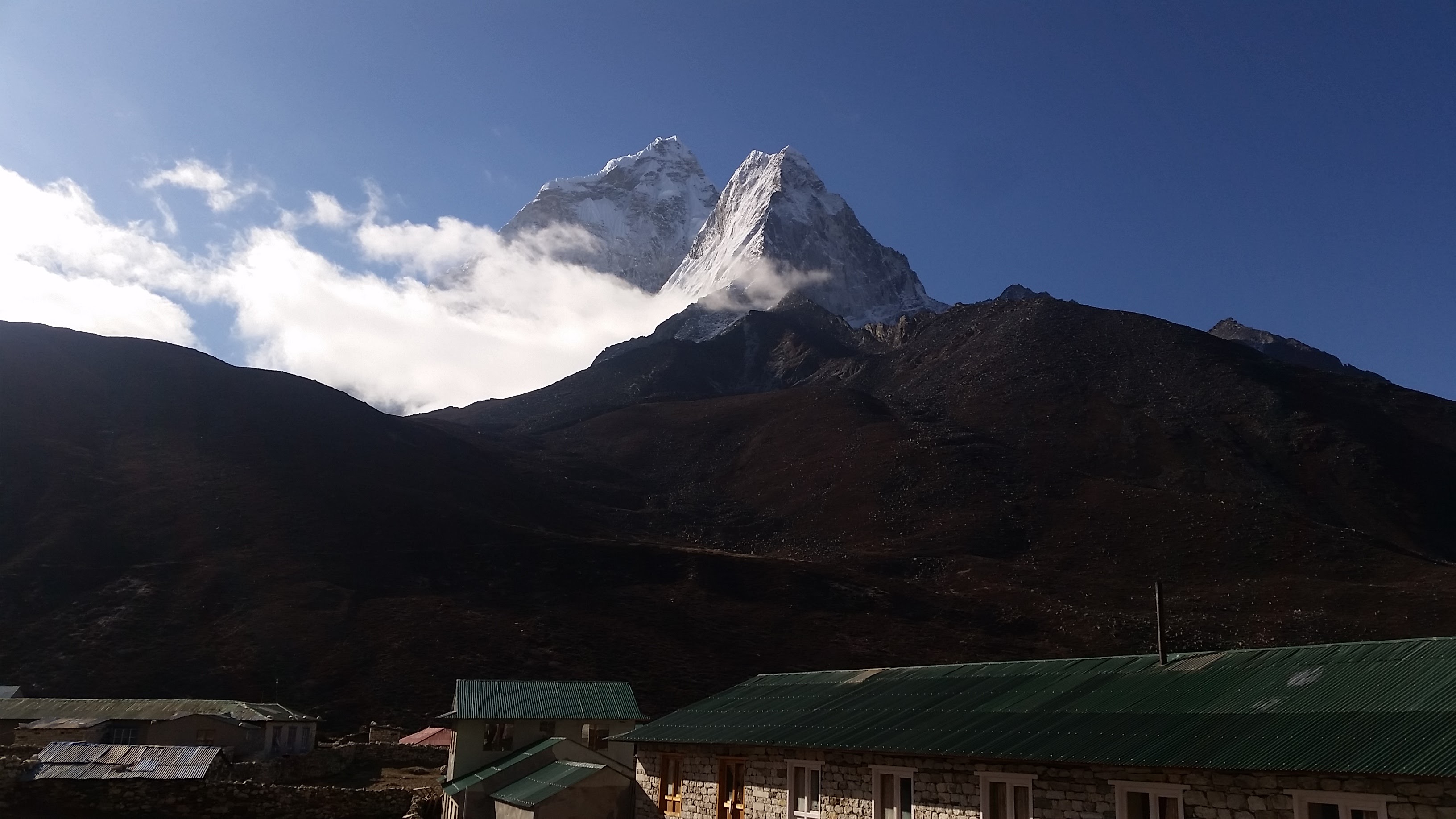
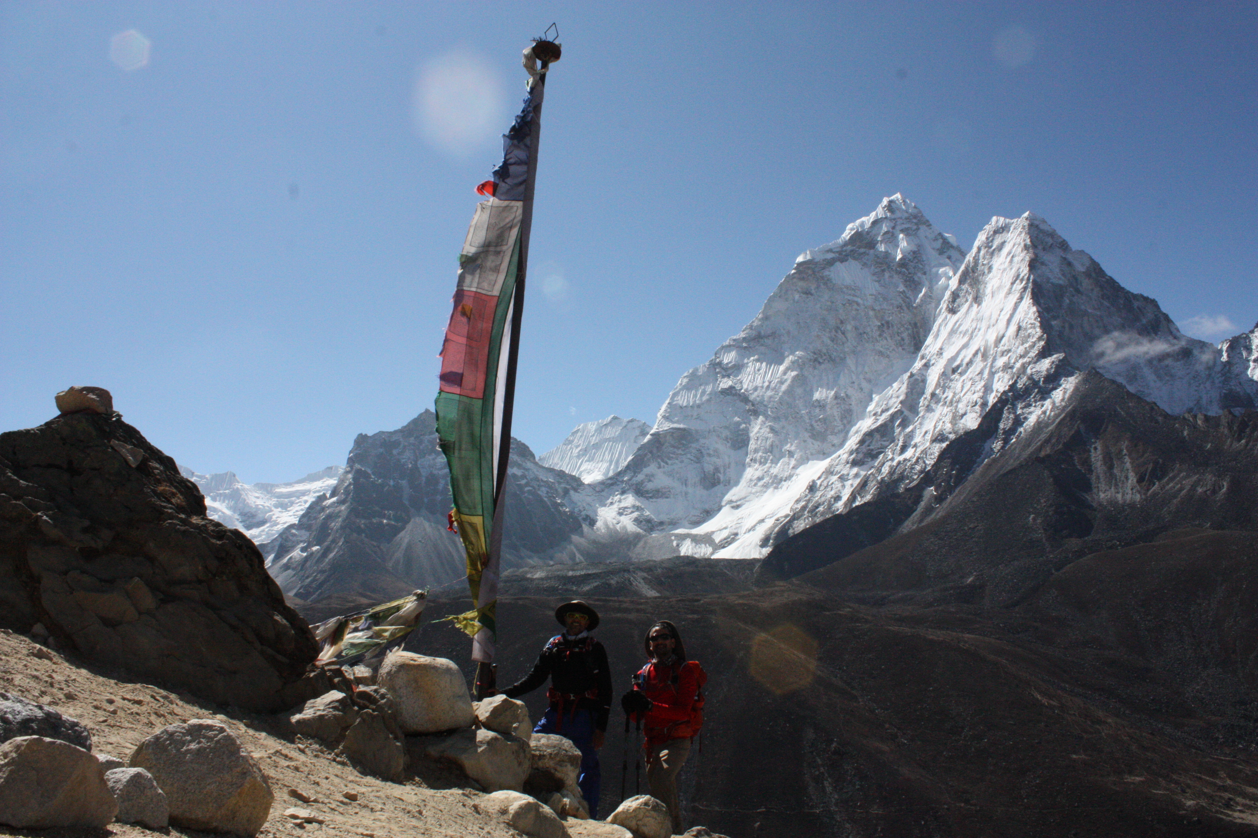
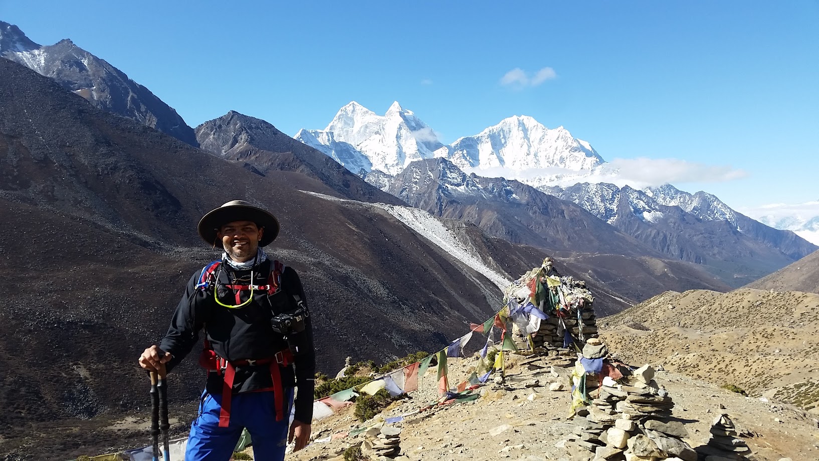
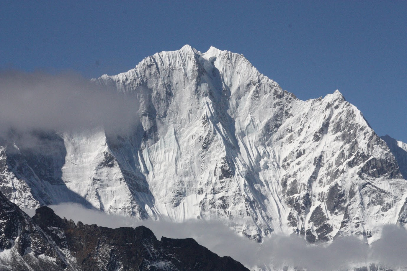
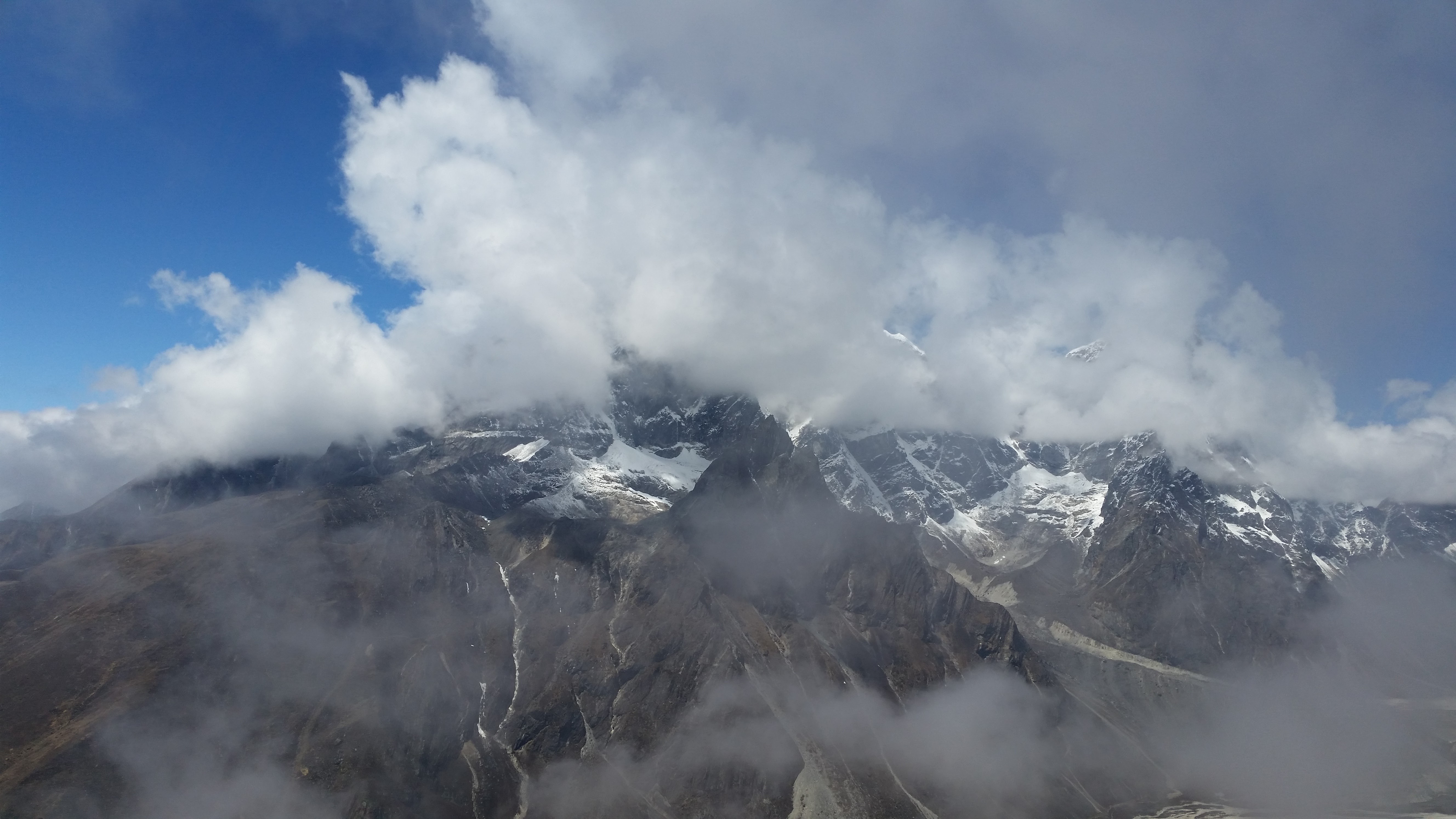
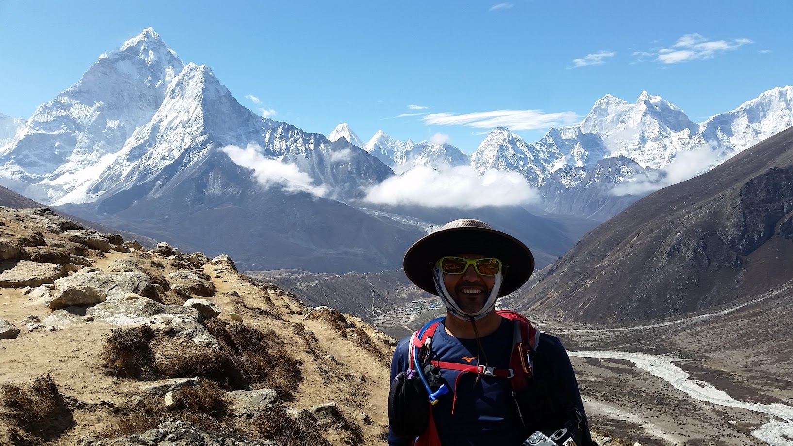
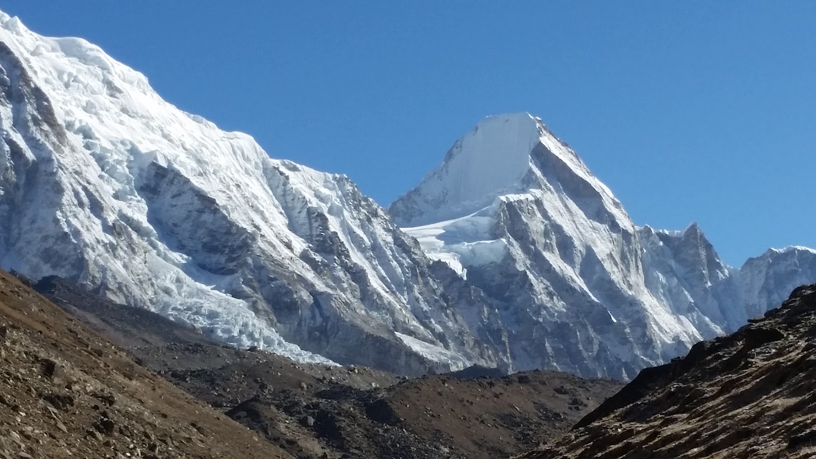
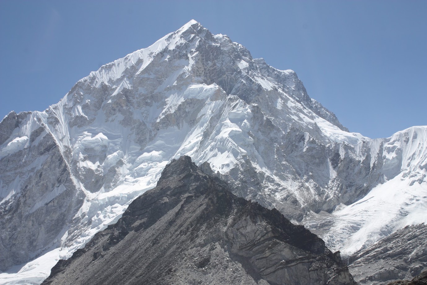
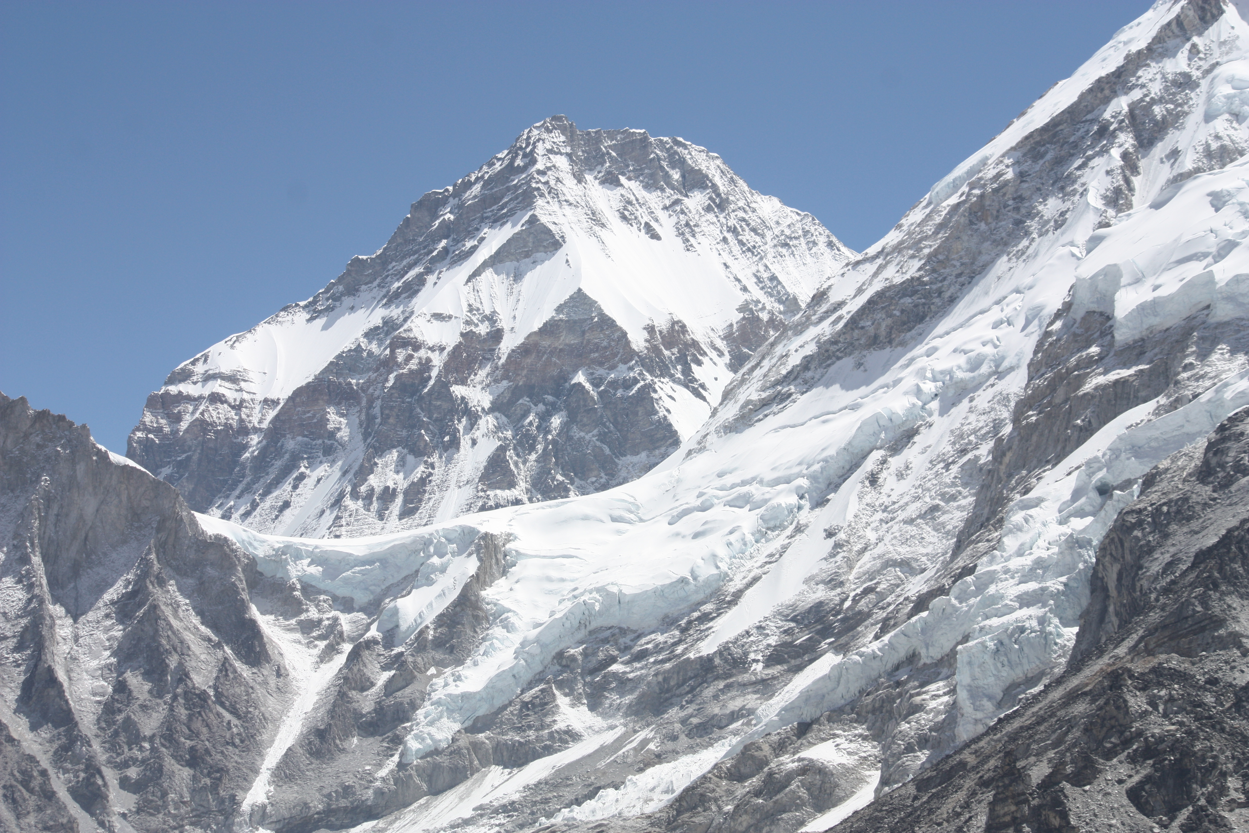
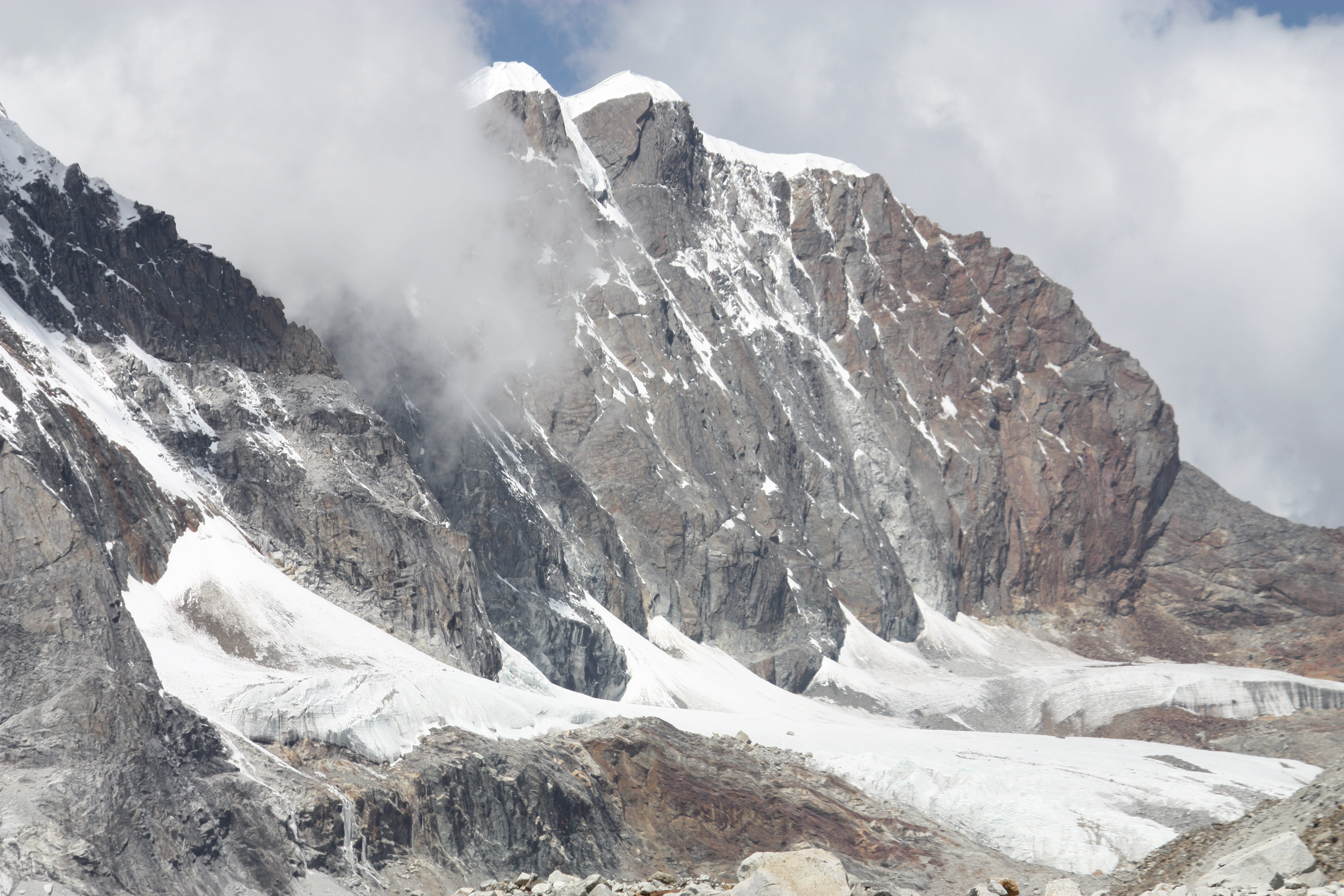
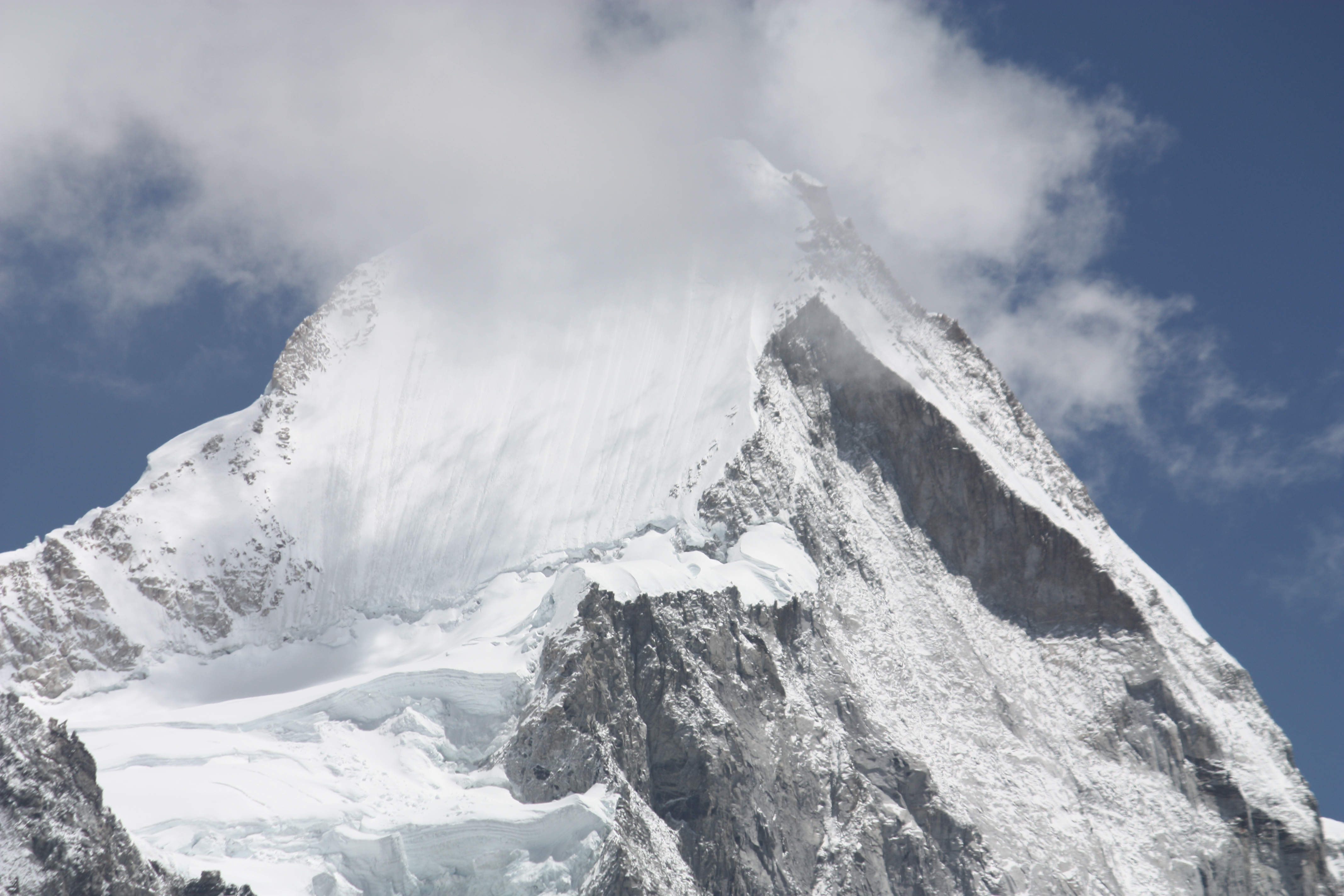
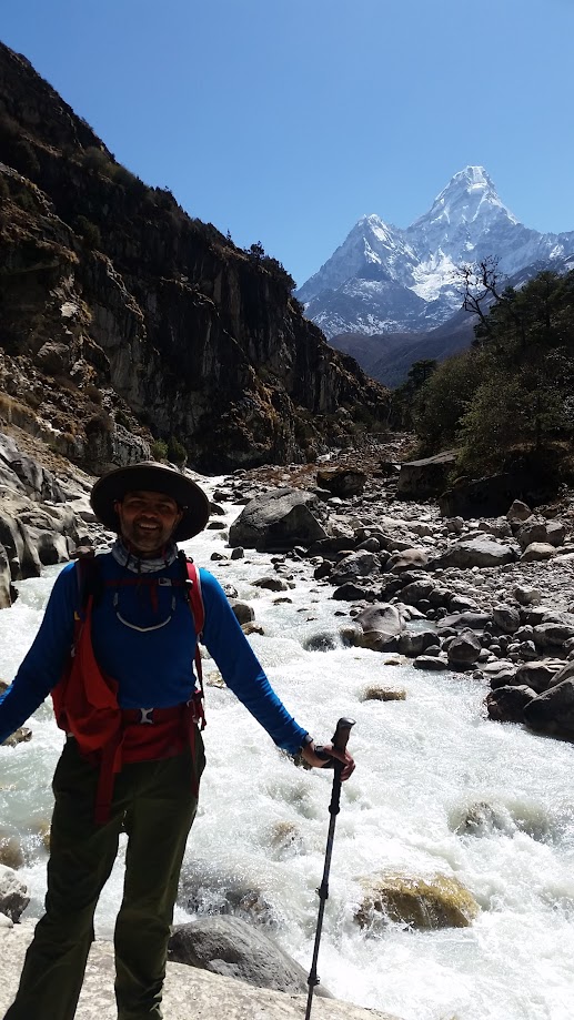
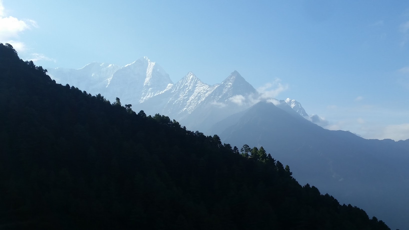
Few peaks – Ama Dablam, Lhotse, Taboche, Cholatse and a bit of Everest
Short video of crossing one of the suspension bridges and the views around it
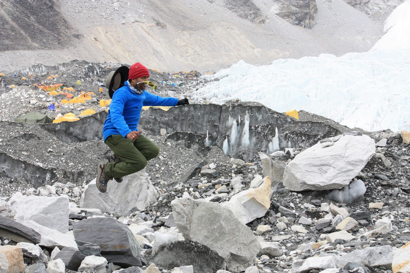
Don’t try this at home!
Met Kishor Dhankude on the way to Tengboche. He is from Pune. He has summited Everest once in 2014 and is planning to do it again next year. Wow!
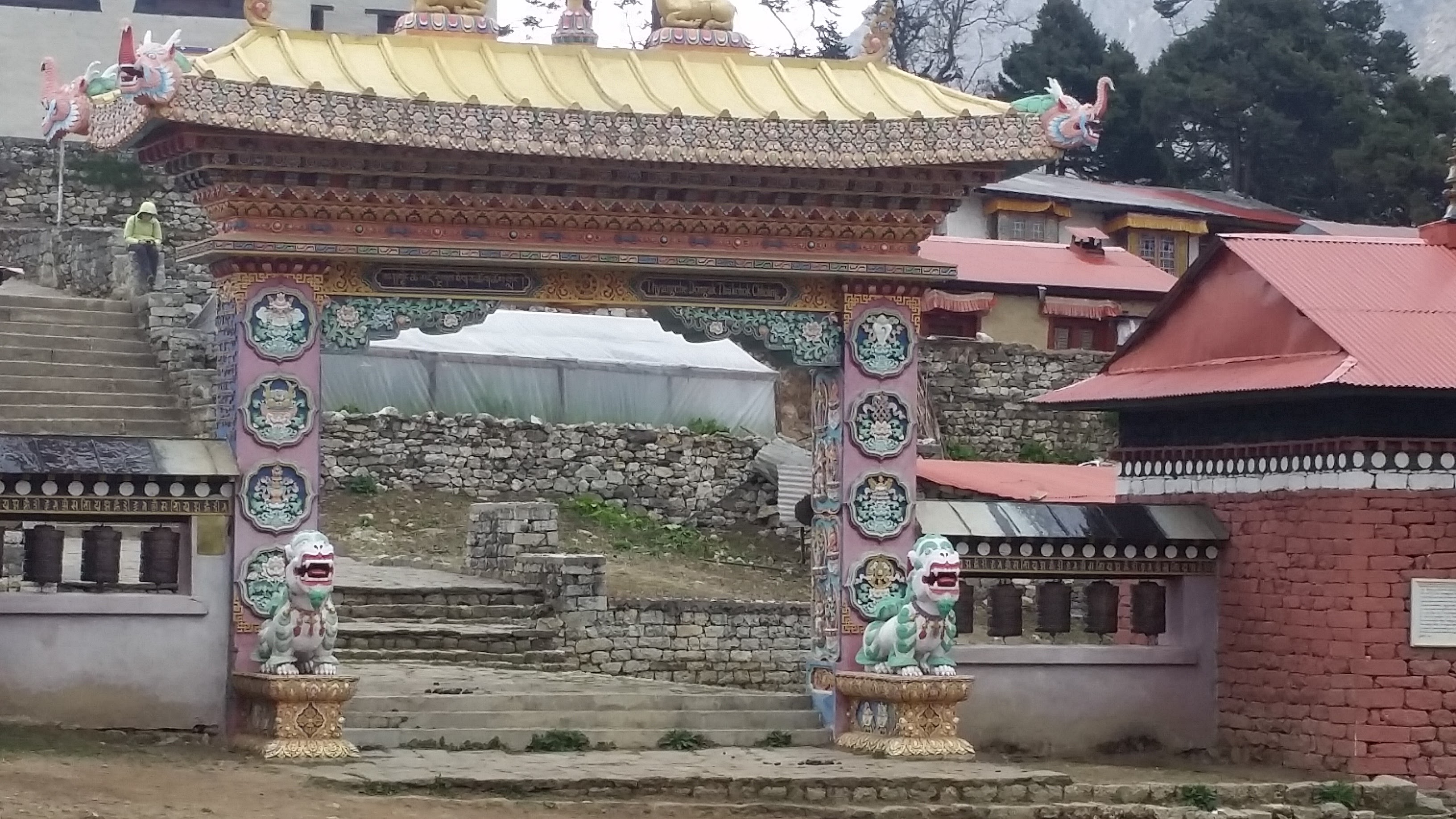
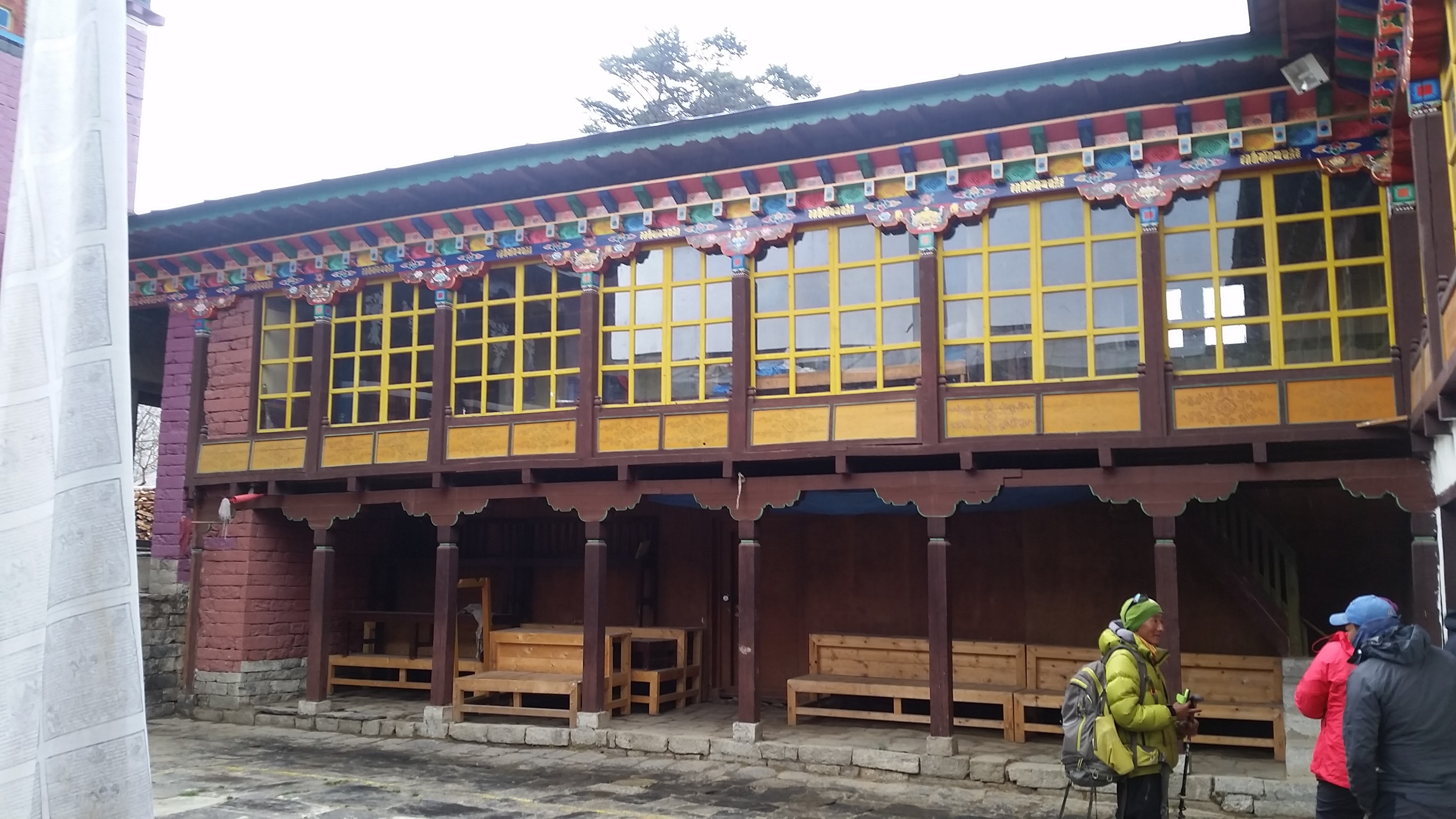
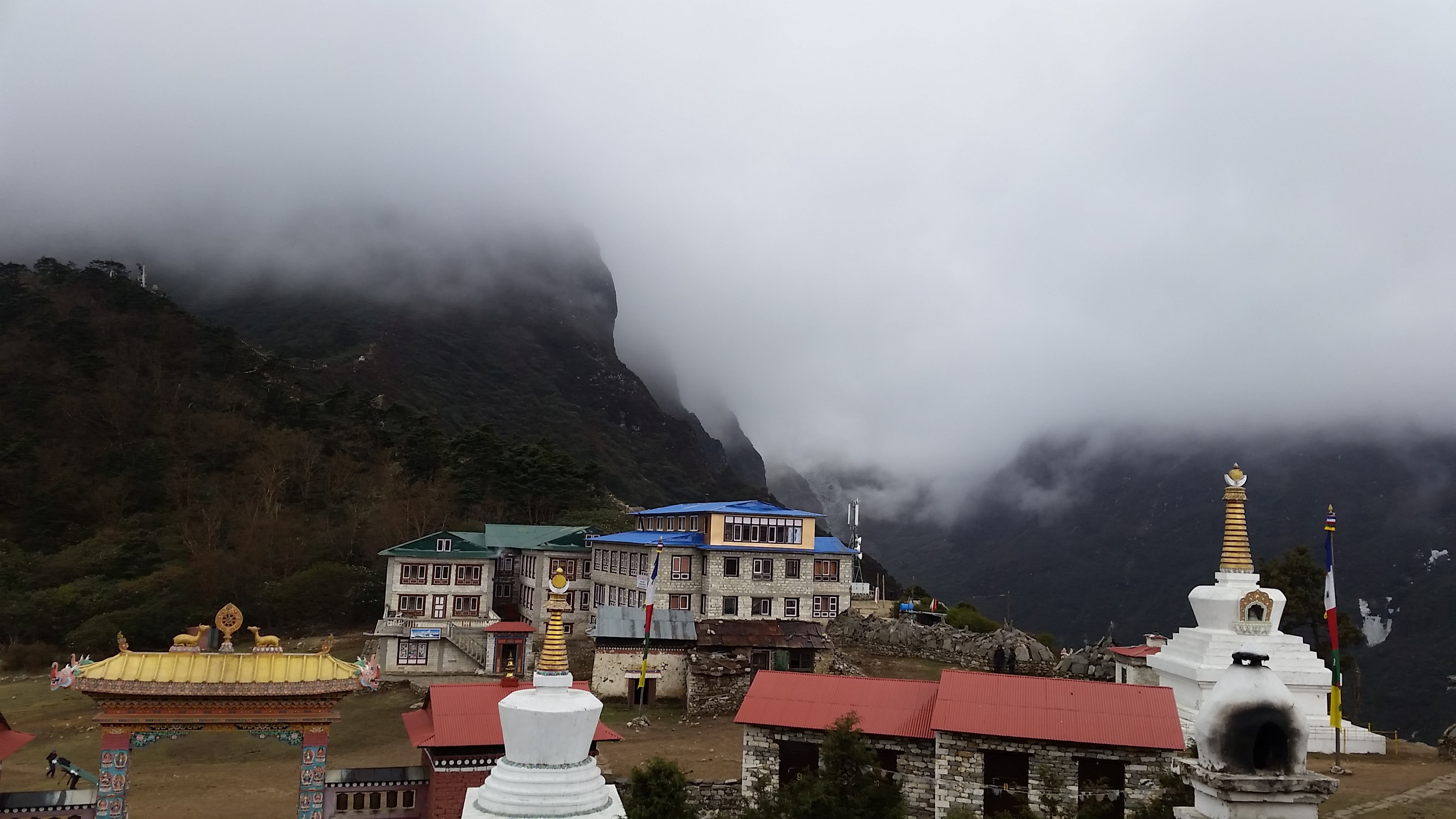
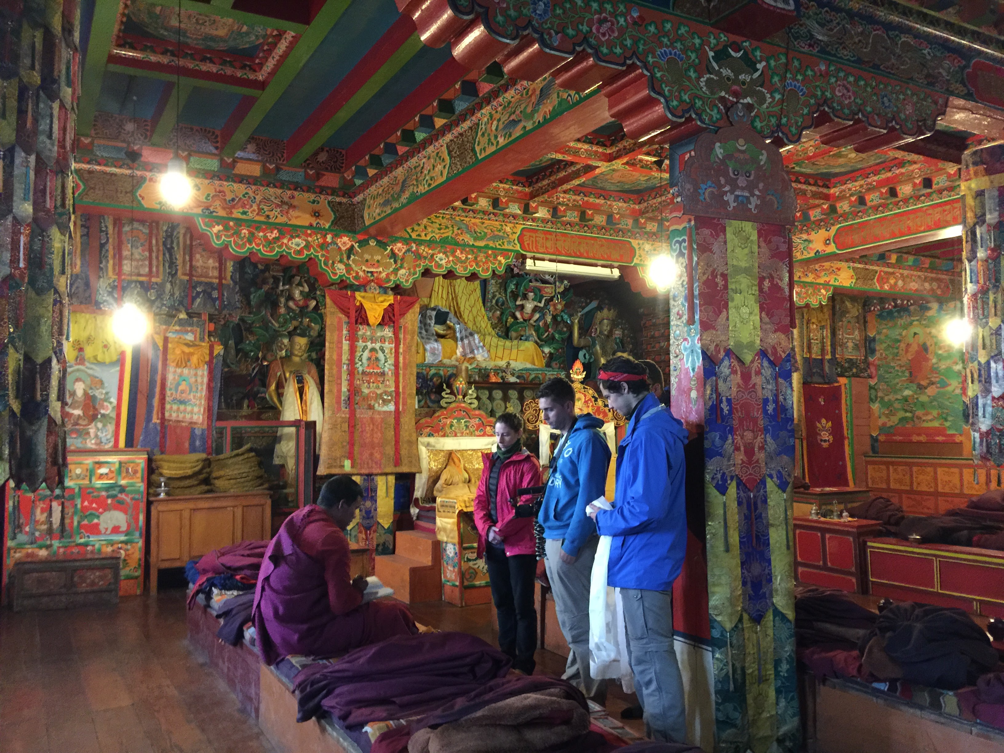
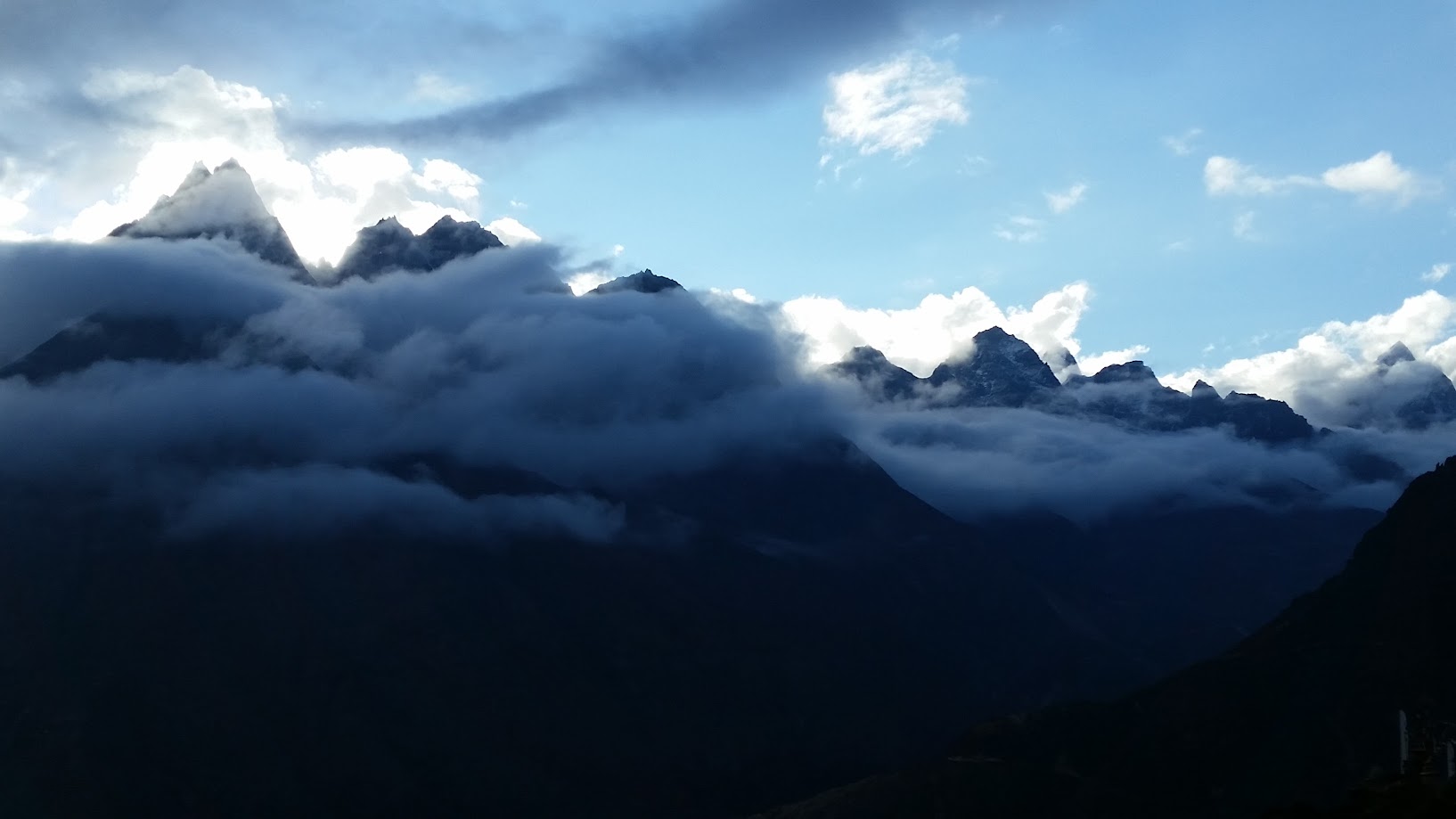
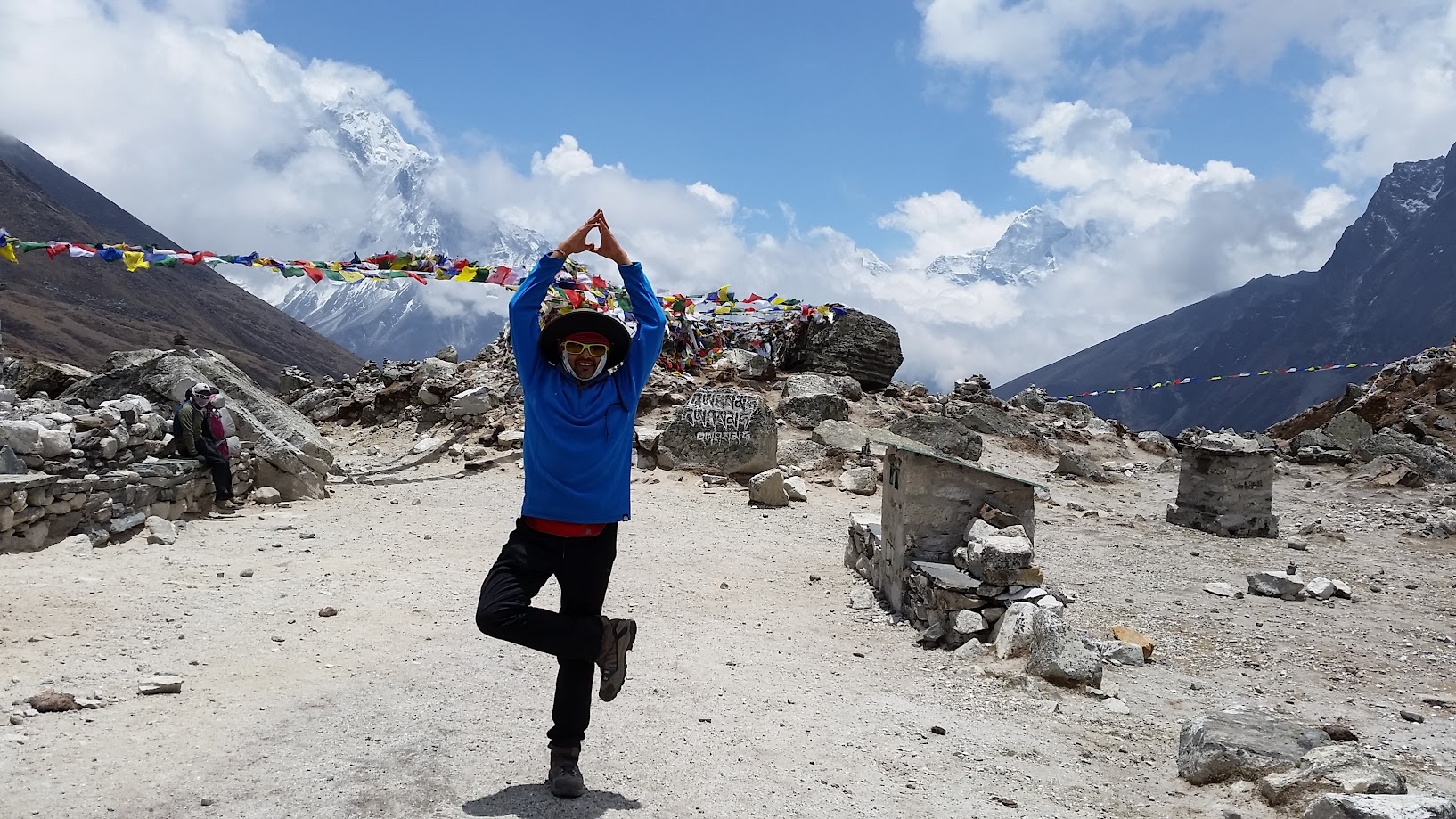
Finally reached Tengboche after a hard climb. We had rhododendron tea to celebrate our trek. After a short rest we visited a beautiful monastery. It was created when Lama Dorje came here to meditate in the 16th century.
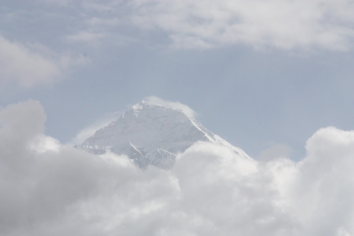
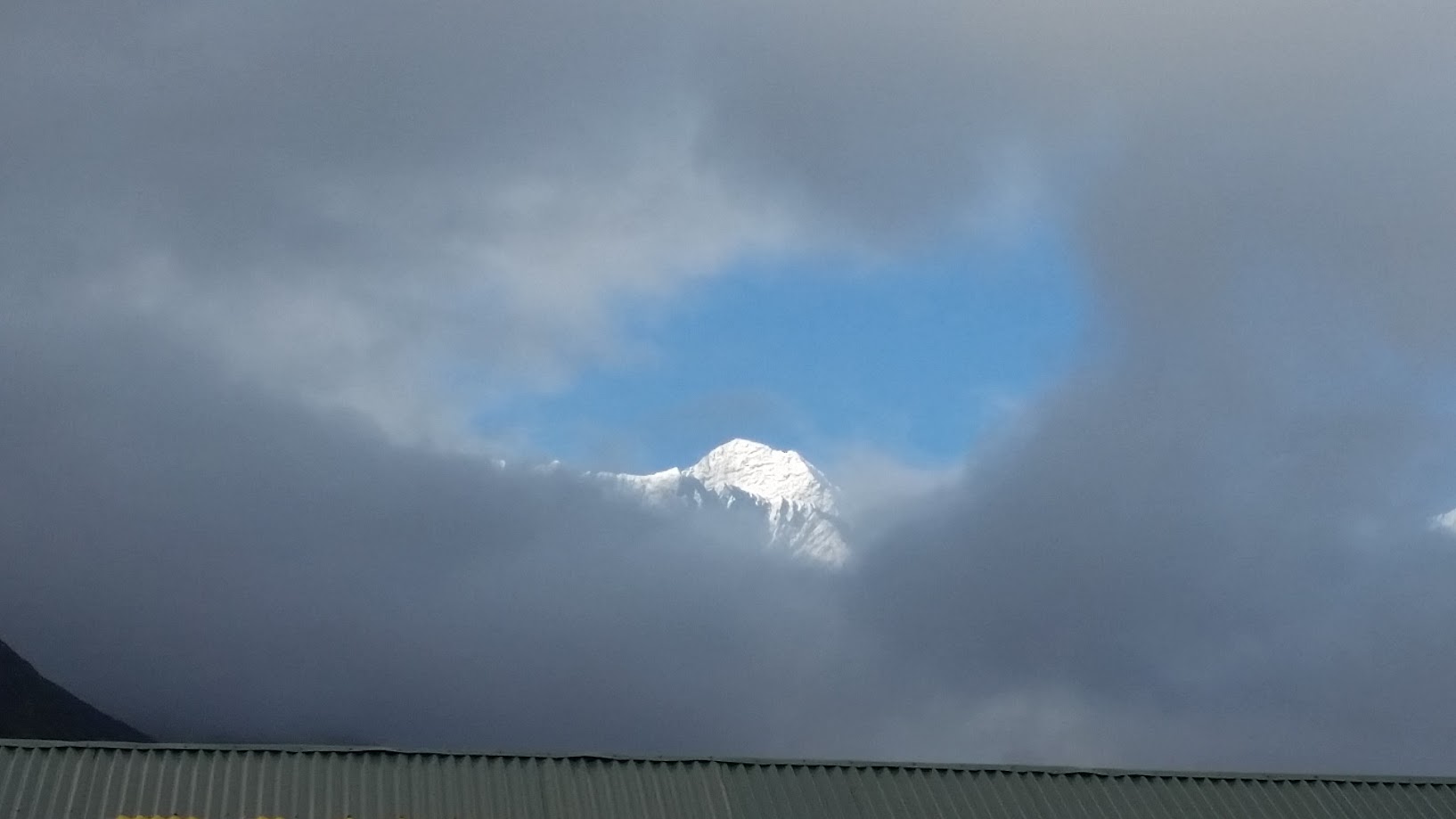
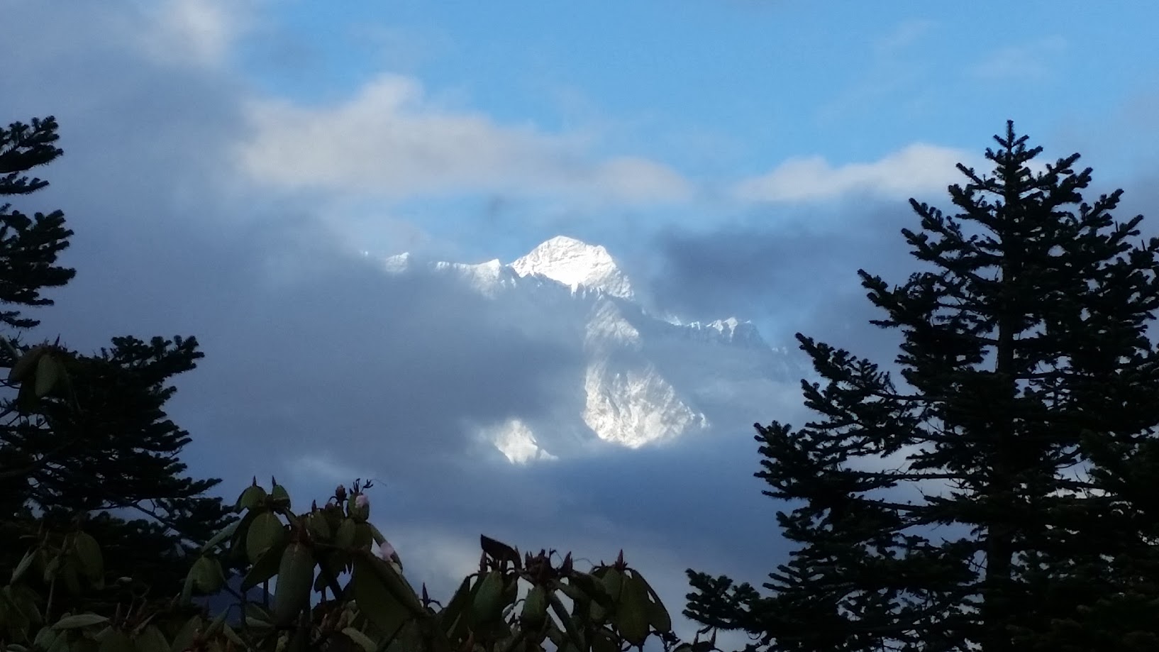
We also visited a nearby bakery and had chocolate cake, croissants, cappuccino and cookies. Just as we came out, there was a break in the clouds and we were rewarded with a view of the everest.
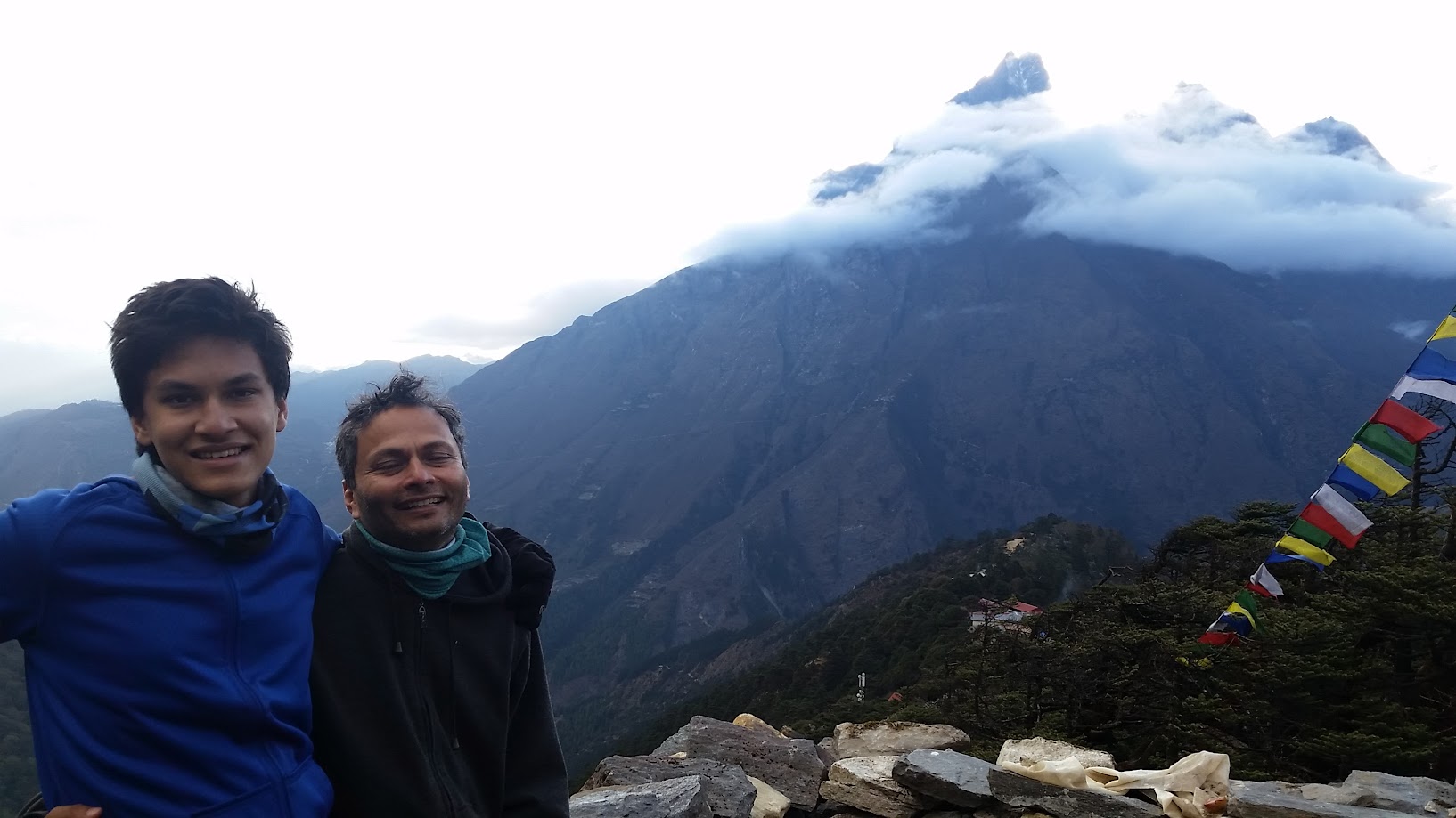
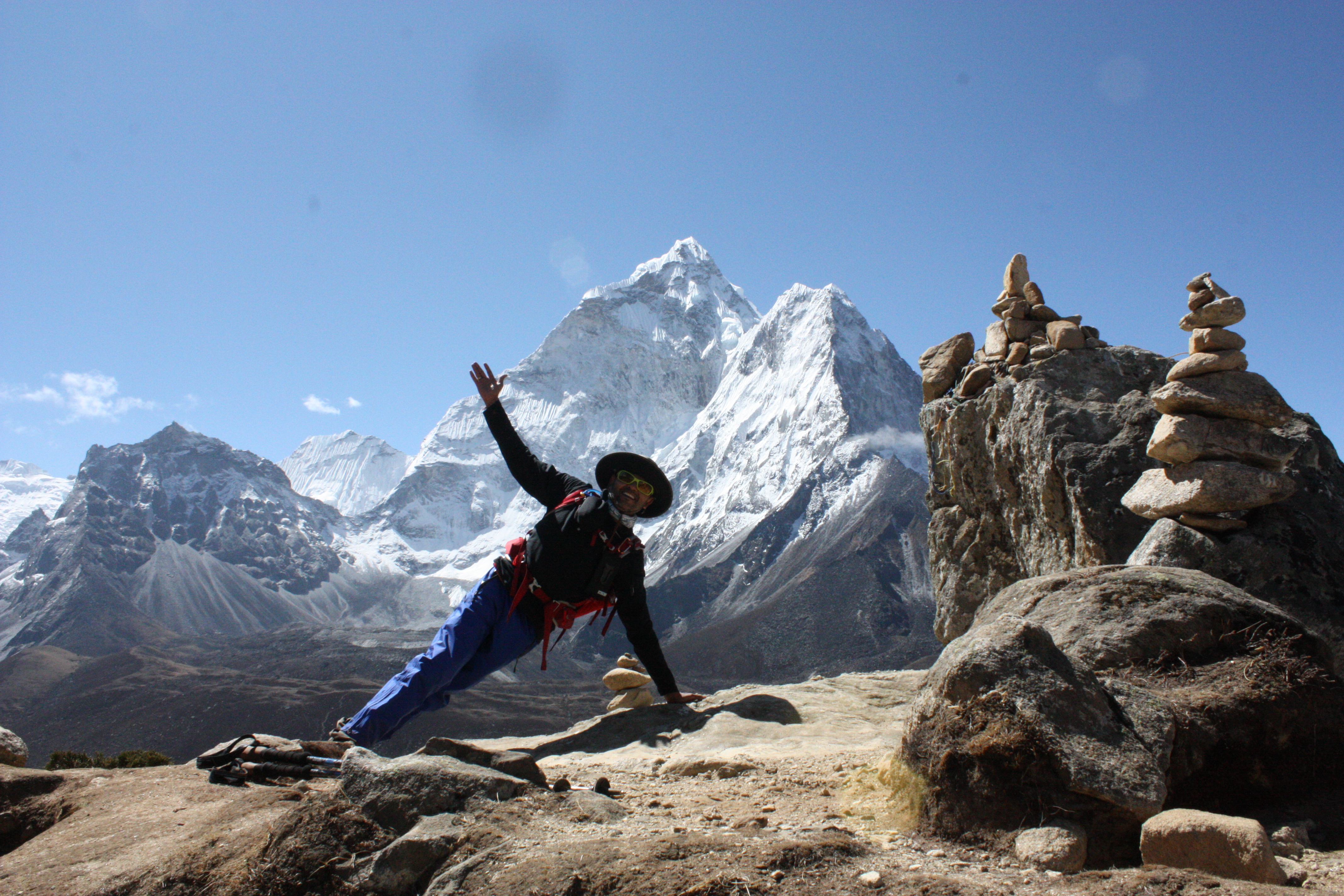
Samir, Sahil and I decided to climb a nearby hill for fun. We got a bird’s eye view of Tengboche. In the picture/video below, we are staying at the Himalayan lodge to the left. The monastery is on the right and you can see people playing soccer at 13,800 ft!
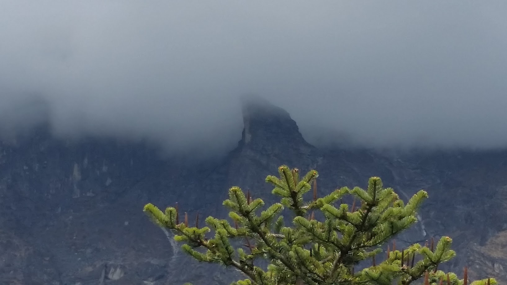
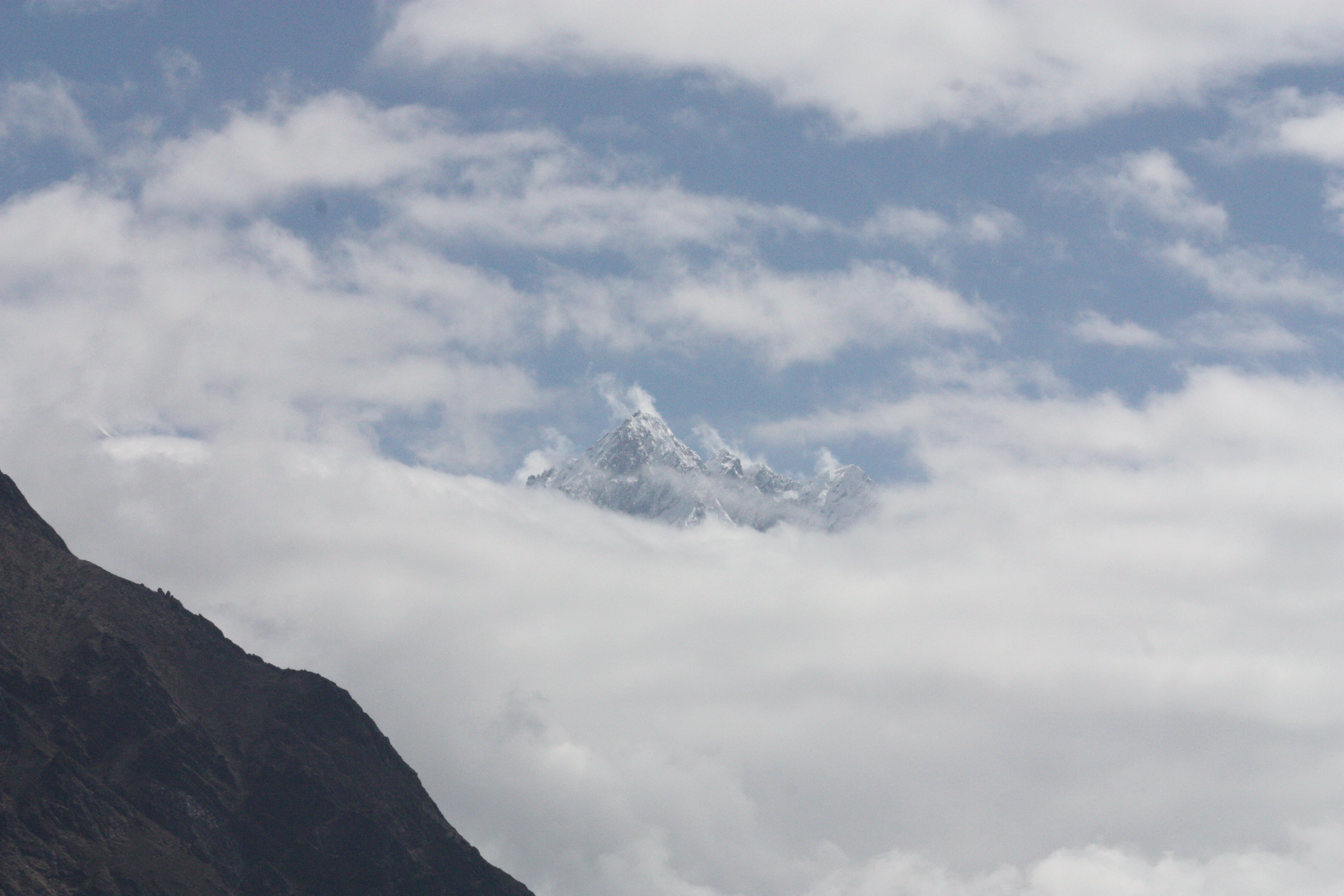
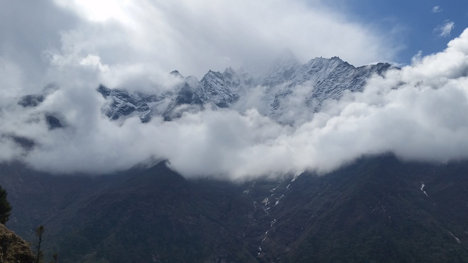
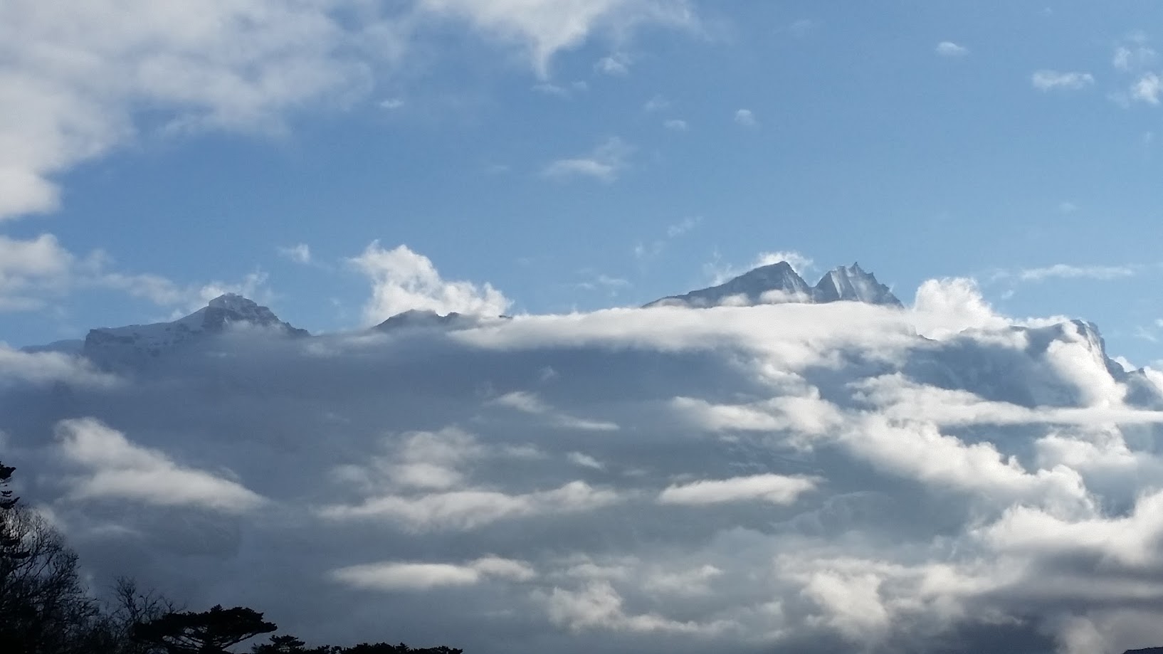
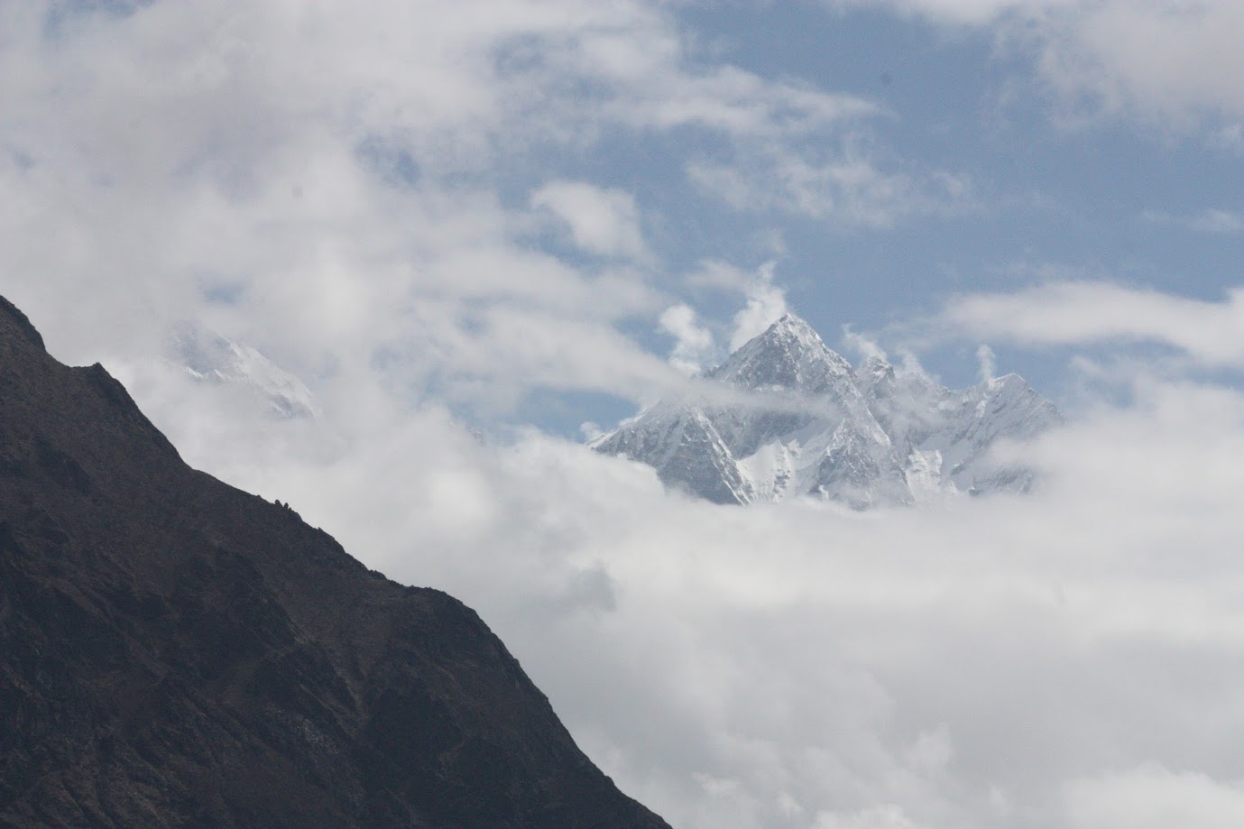
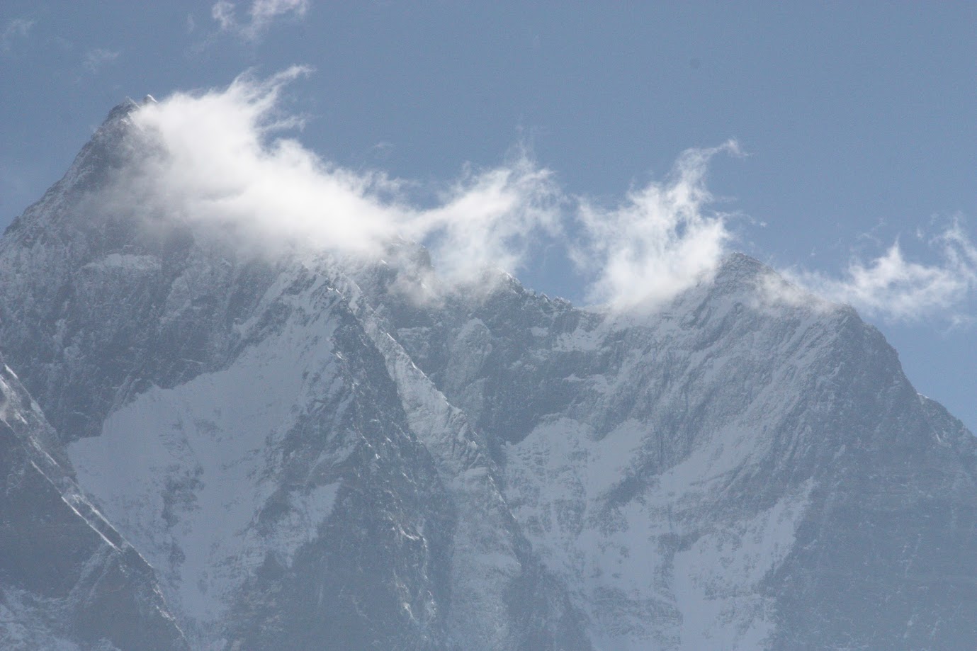
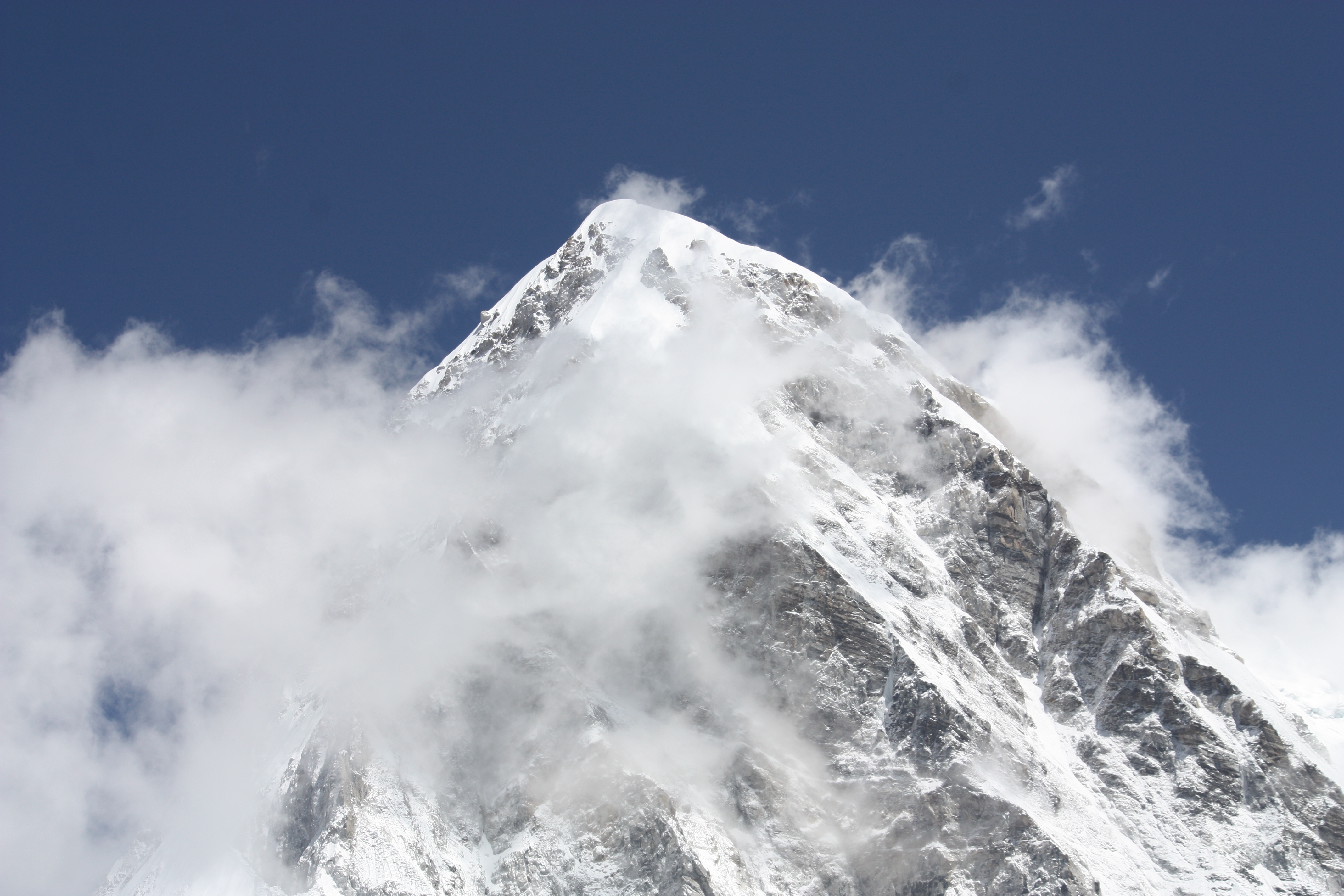
As we started climbing the hill, we got some incredible views of the mountains. It was surreal. Some of the peaks were only visible above the clouds and looked like magic castles. Views kept changing every few minutes. It was like mountain peaks were playing hide and seek with clouds. Now your see them, now you don’t!
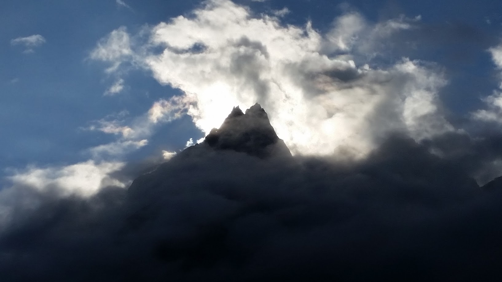
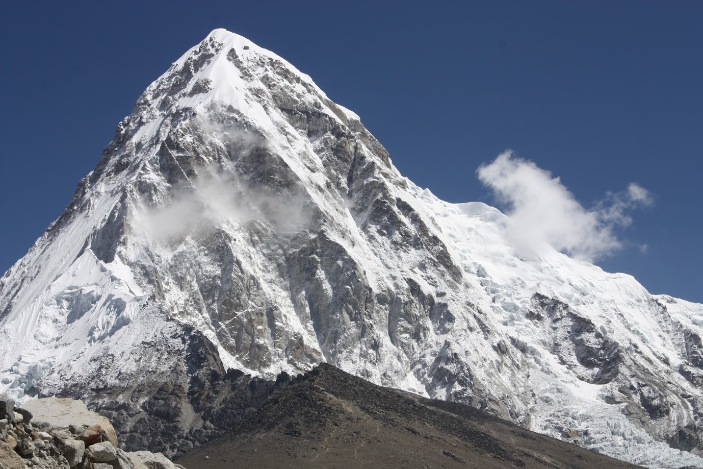
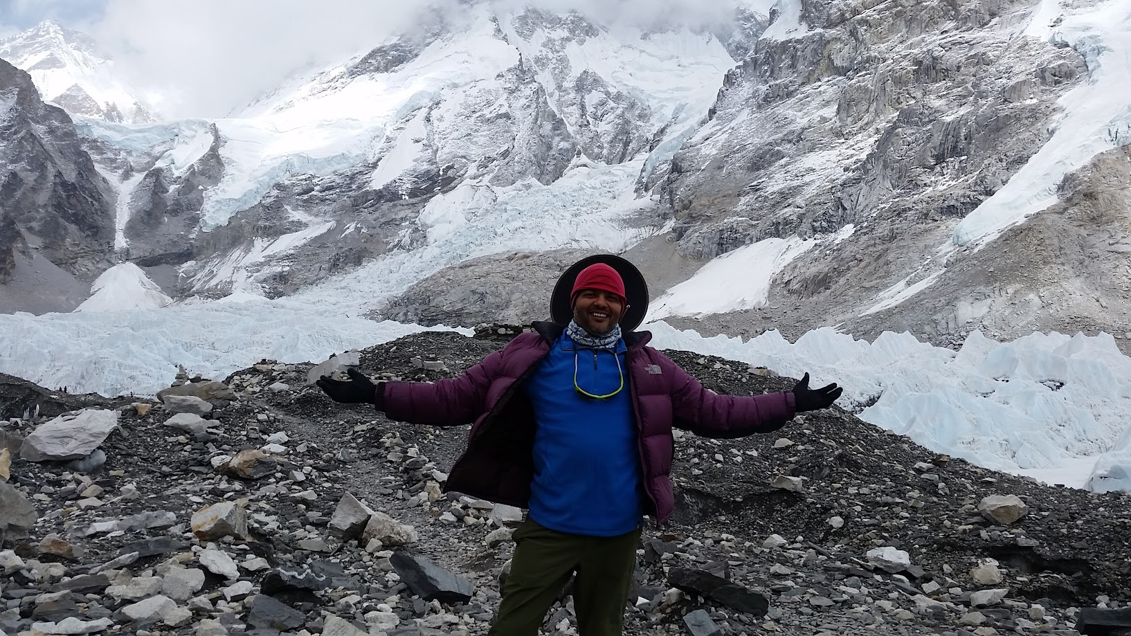
Perhaps my favorite shot of mount Everest from this trip
The peaks in the middle photo were not visible just moments ago!
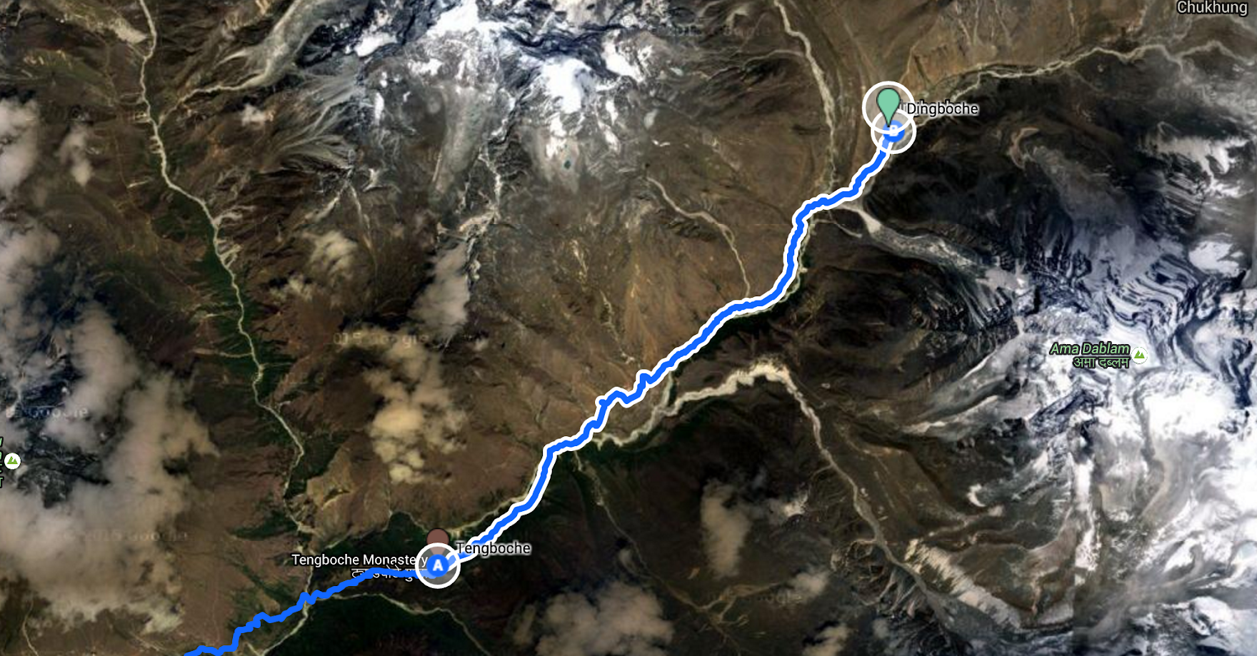
Day 5, May 13 2016:
- Start: Tengboche. Elevation 3,900 m/ 12,795 ft. Time: 6:30am
- End: Dingboche. Elevation 4,400 m/ 14,436 ft. Time: 1:15pm
- Elevation gain: 500m / 1,640 ft
- Distance: 12 km (7.5 miles)
- Terrain: Gradual, steady climb
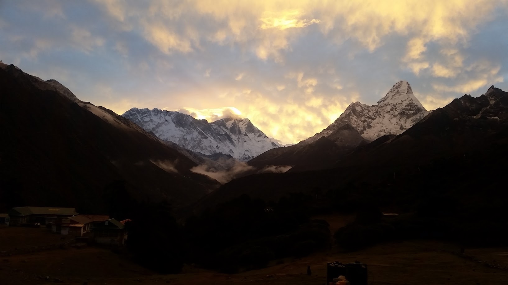
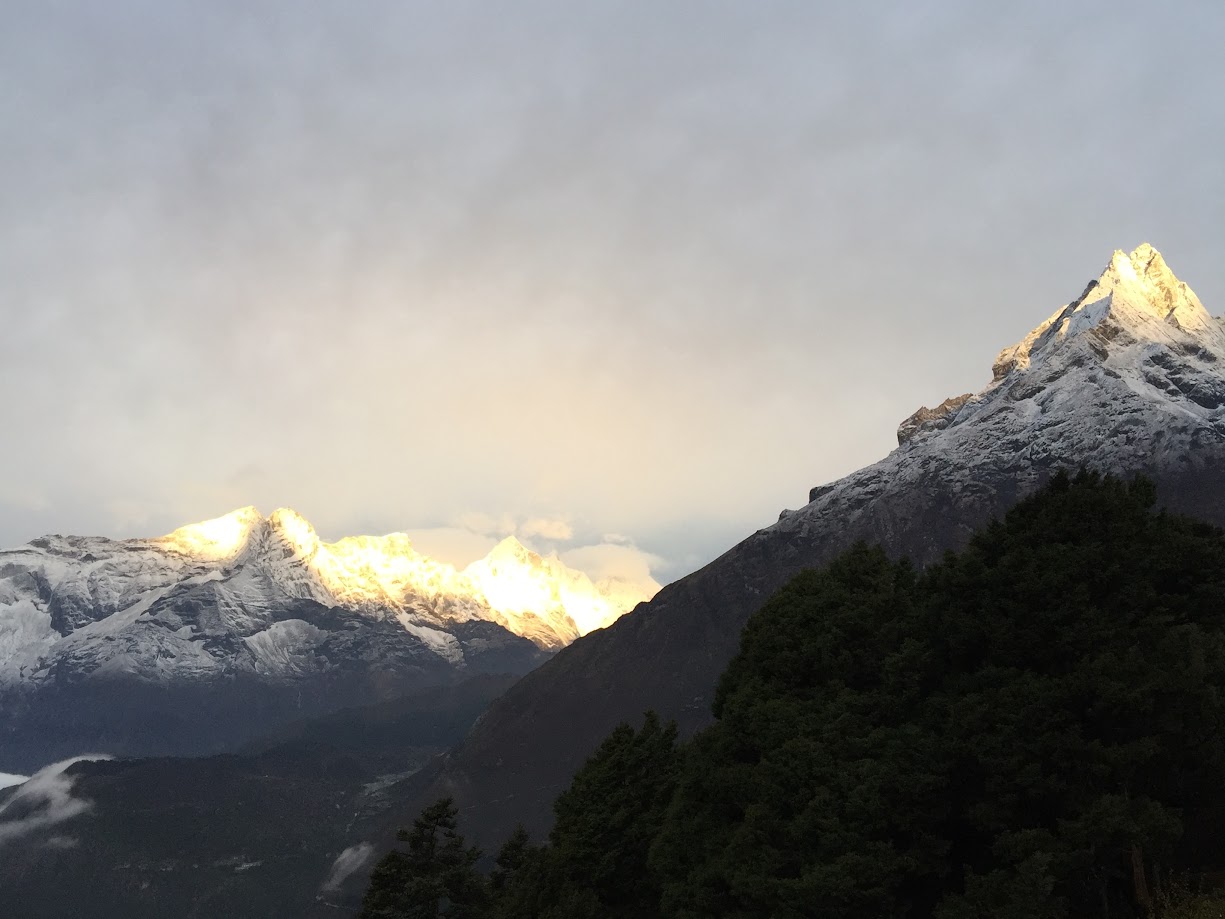
Morning views – mountains on fire!
Drinking water is precious. When a bottle broke from the bottom, Sudhir figured out a way to use it anyways! Good presence of mind 🙂
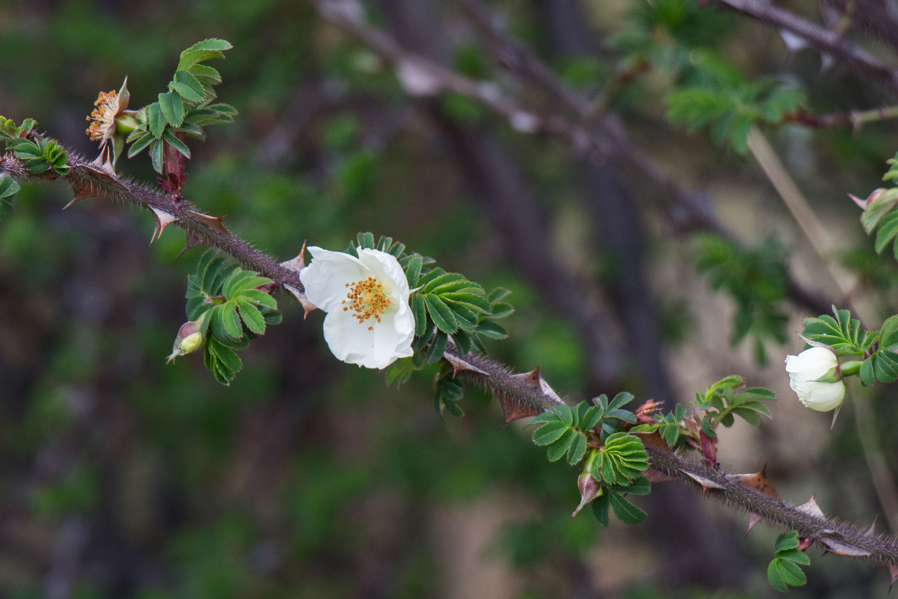
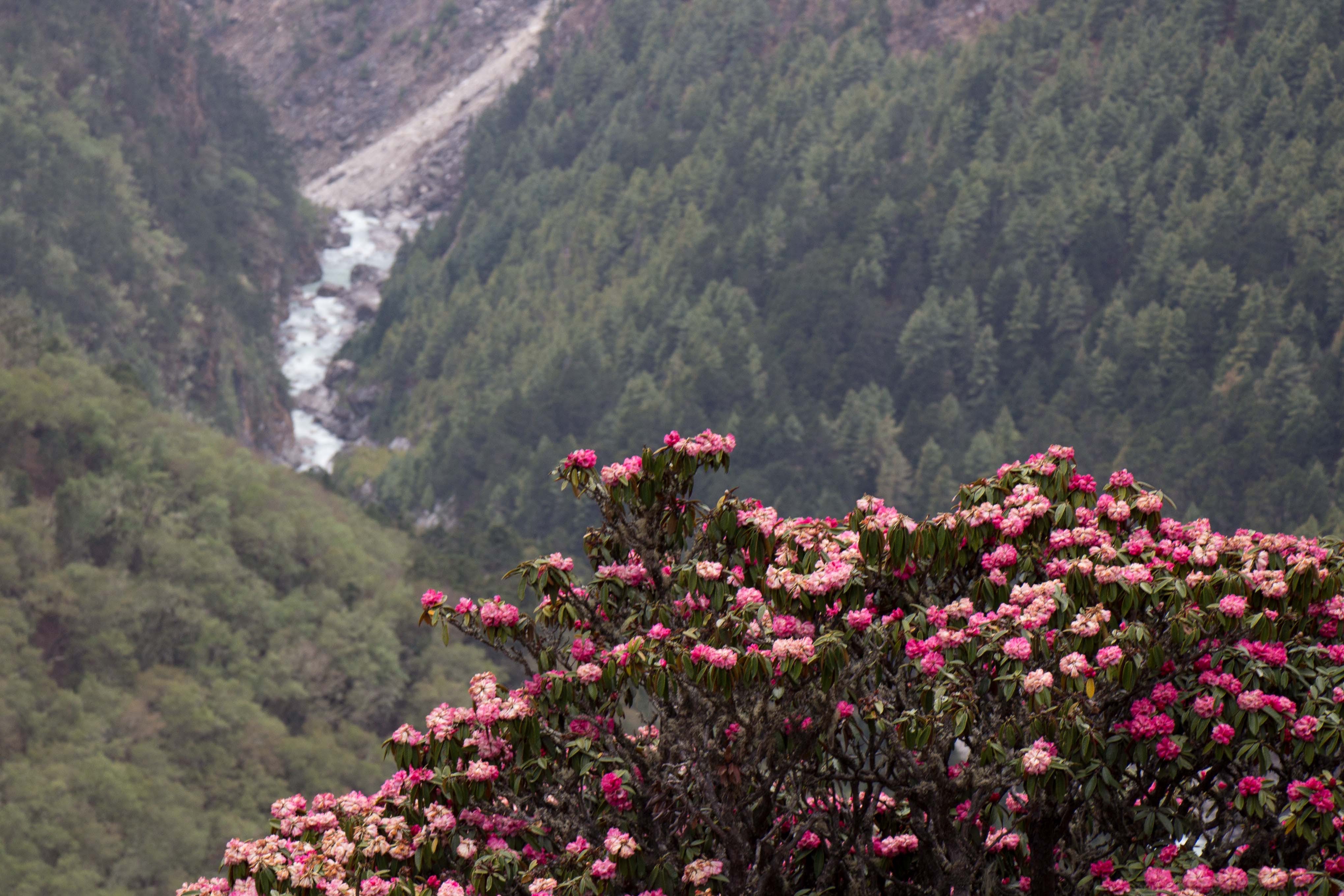
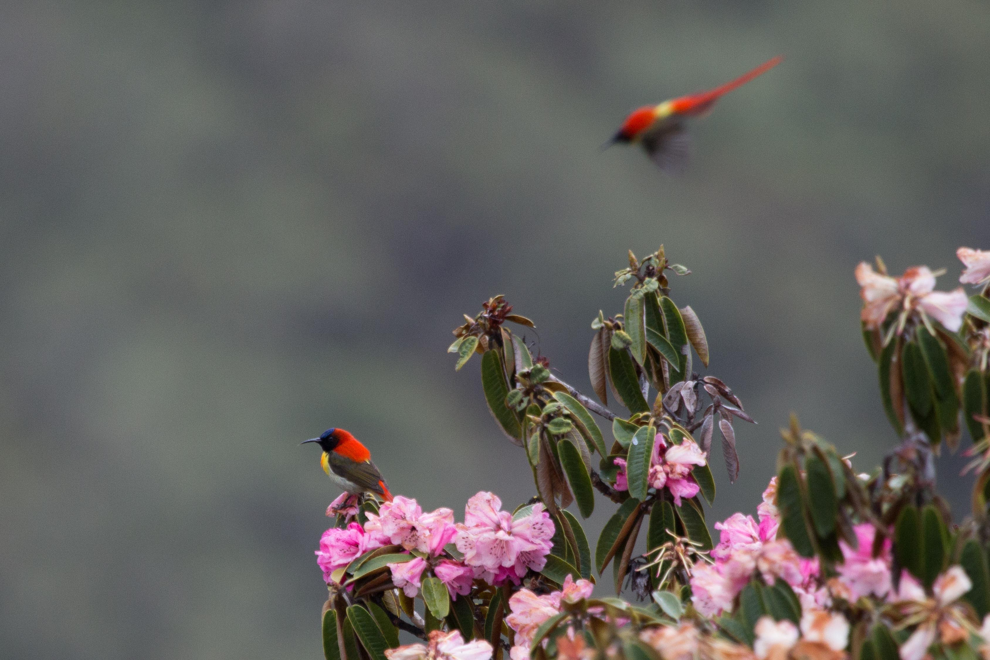
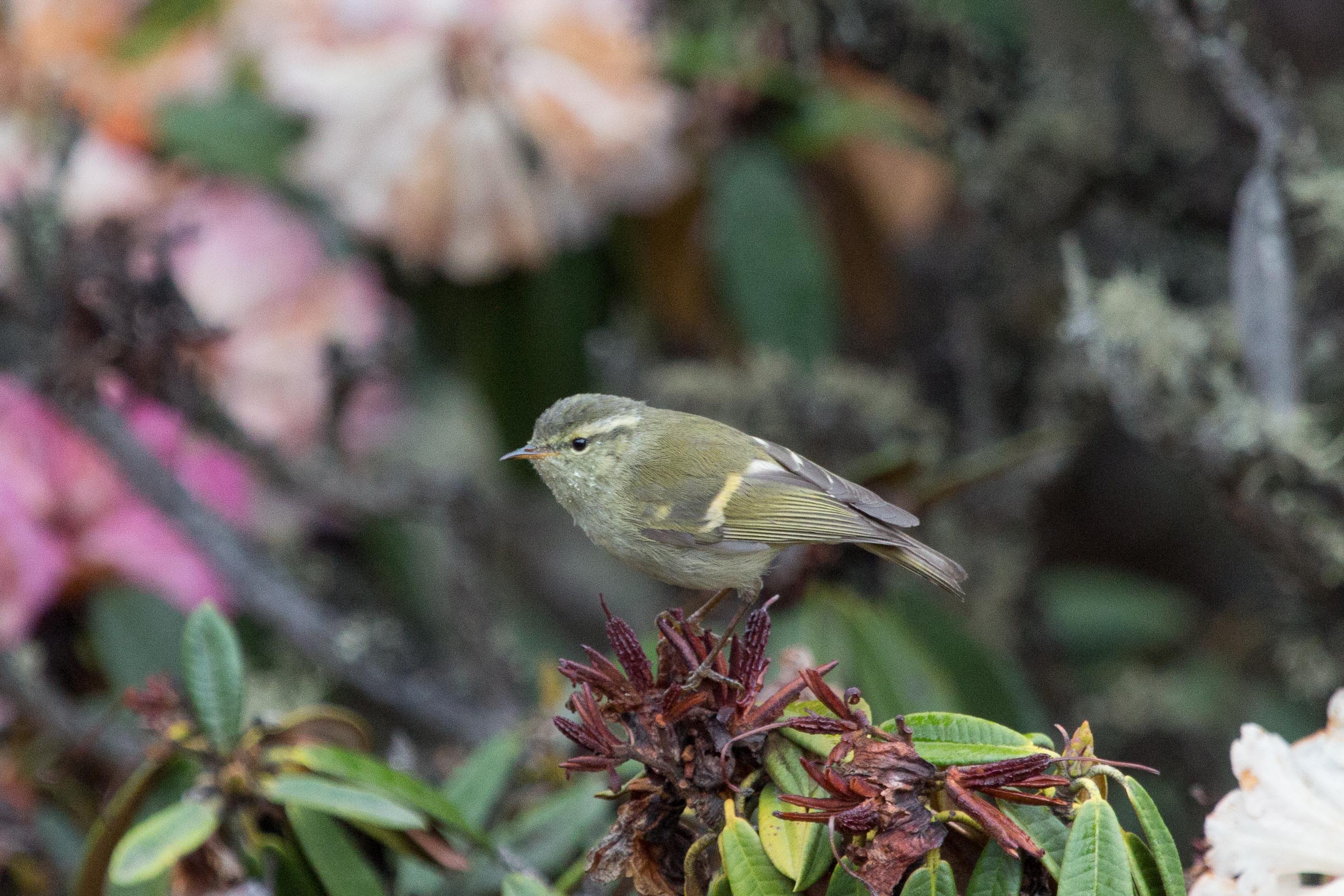
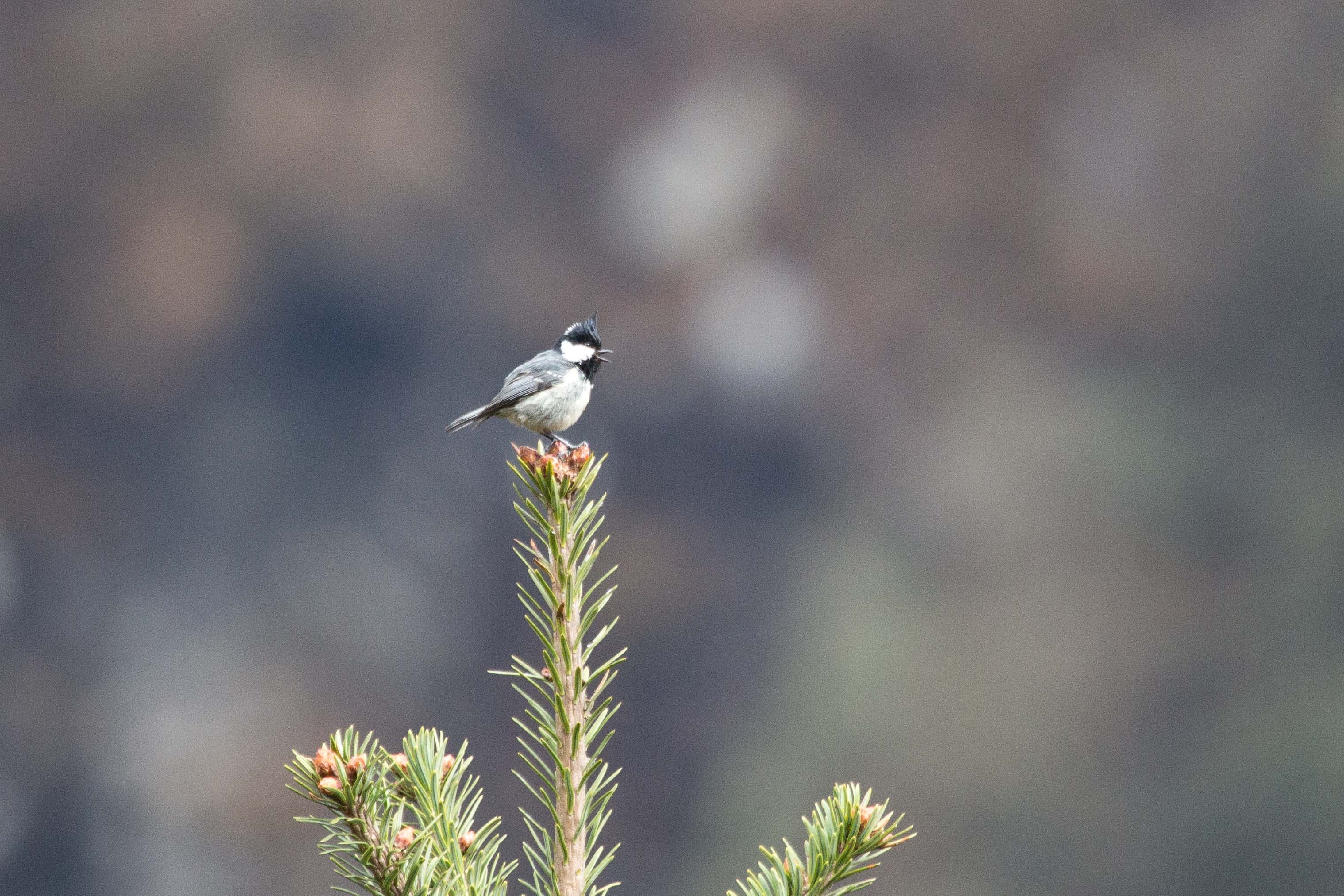
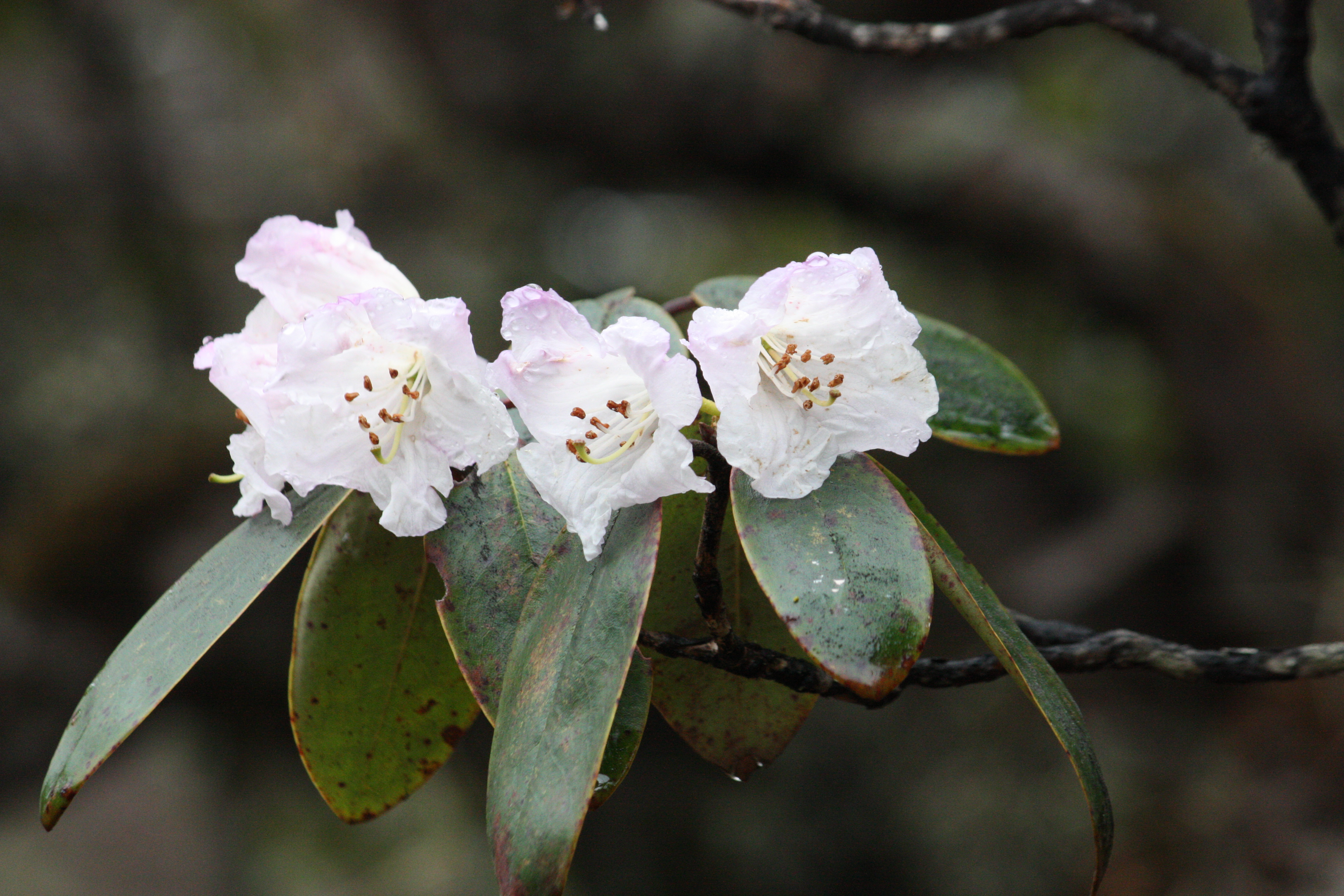
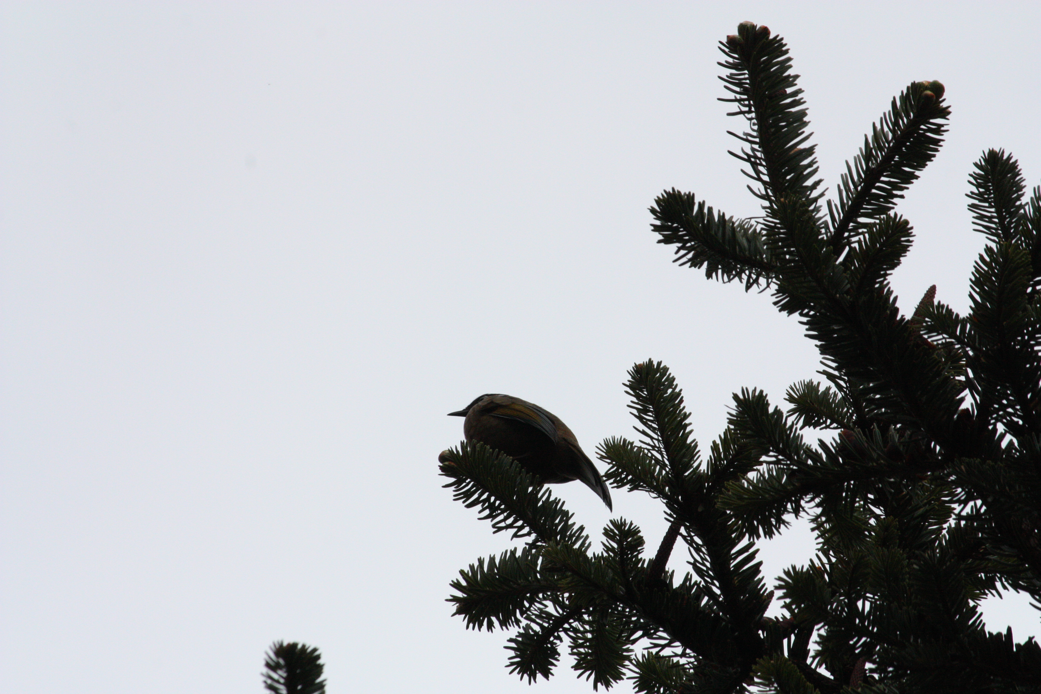
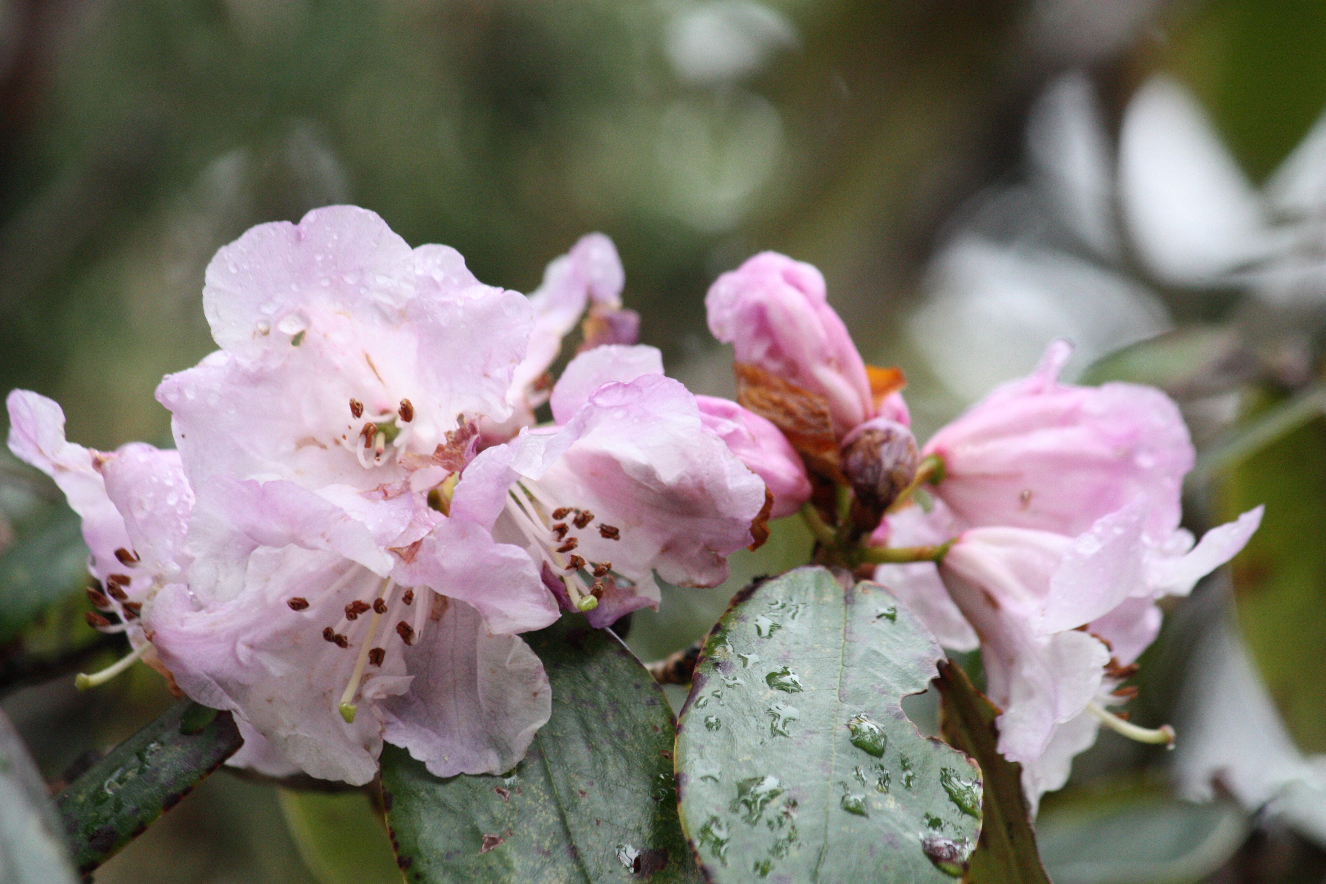
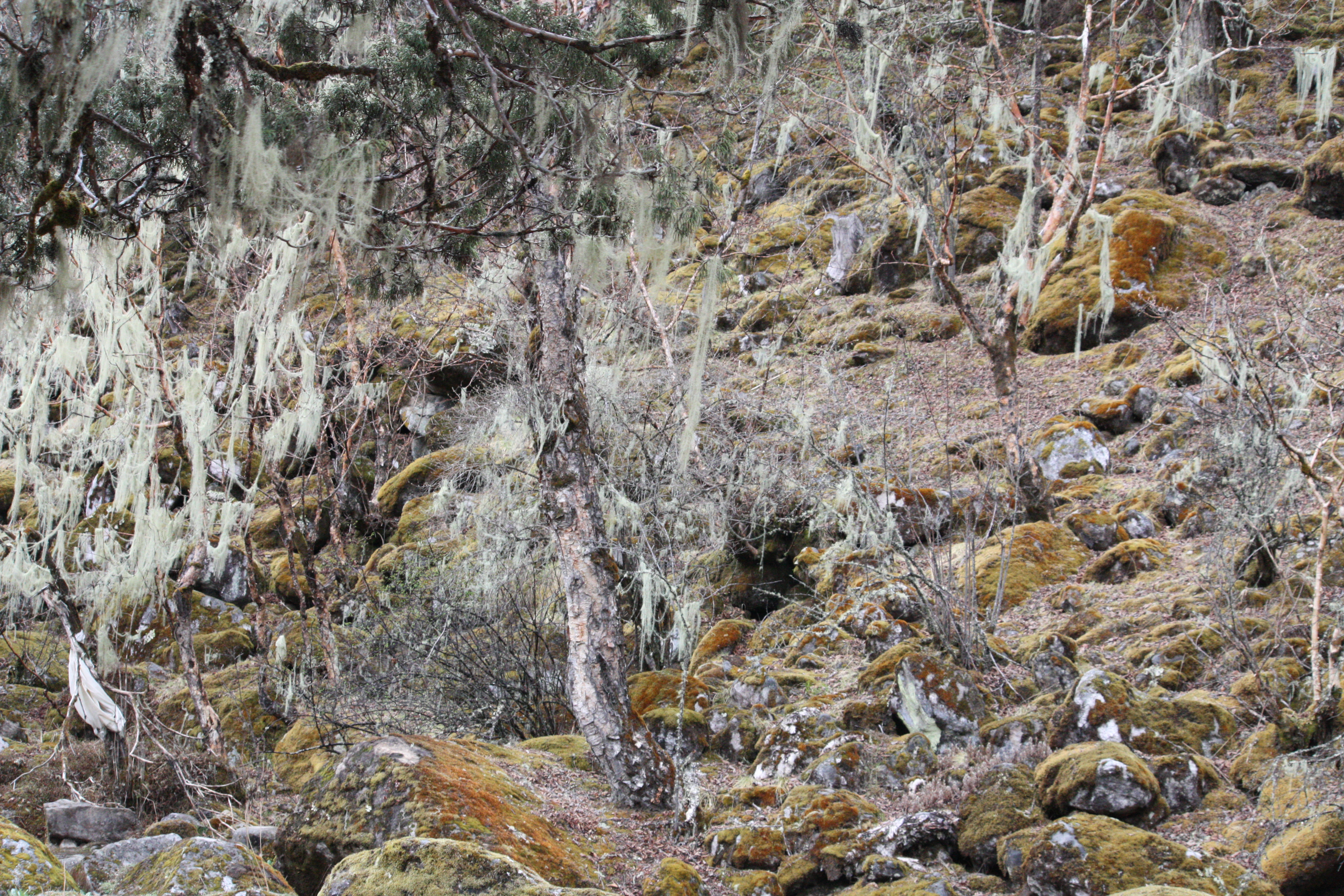
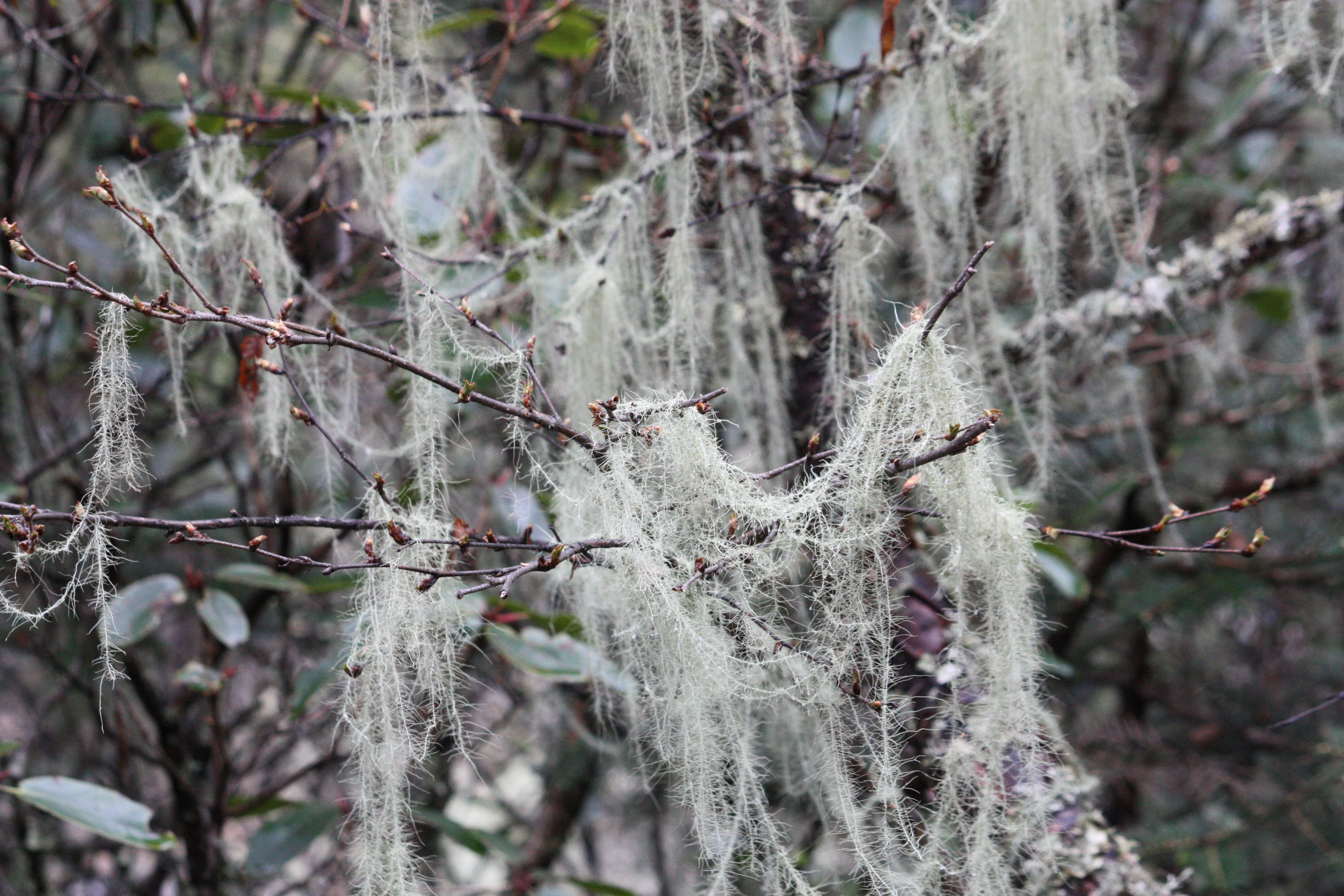
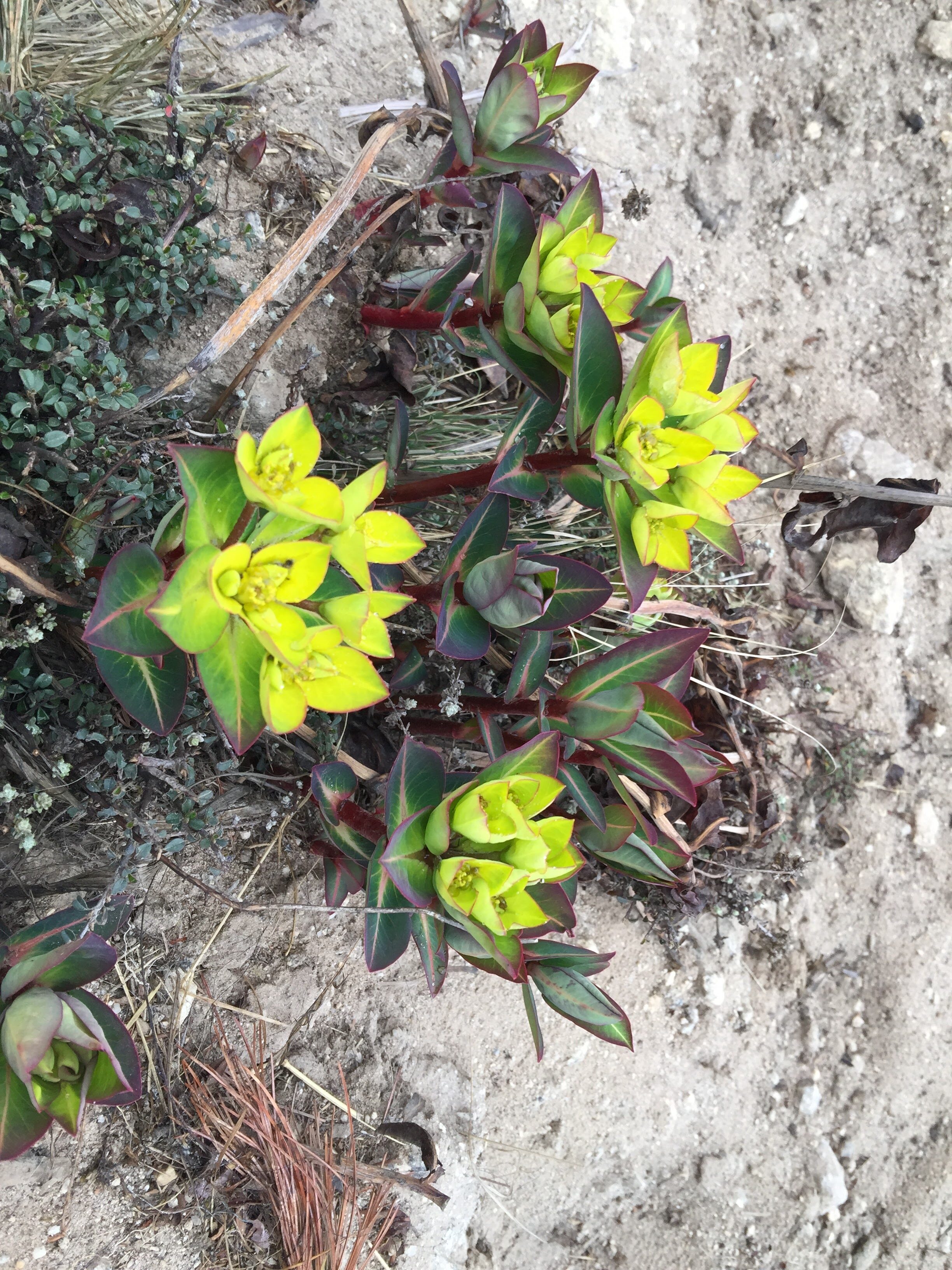
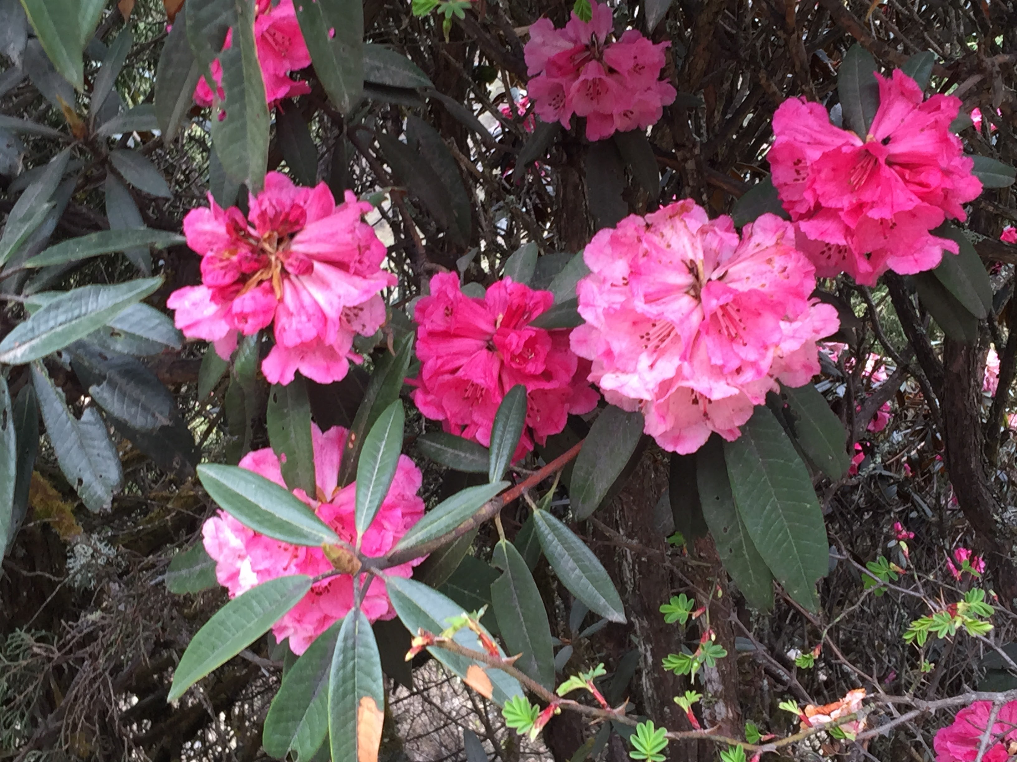
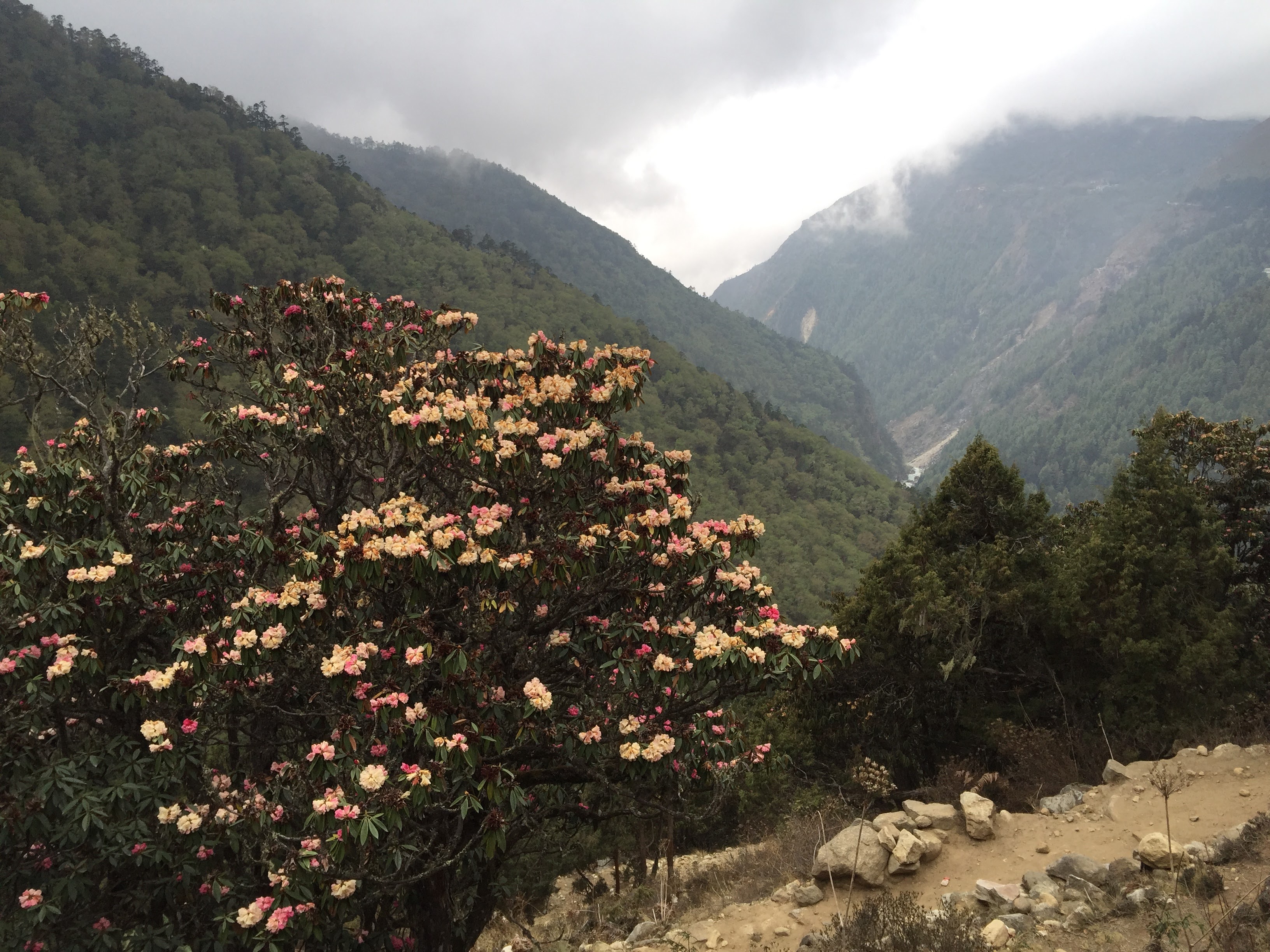
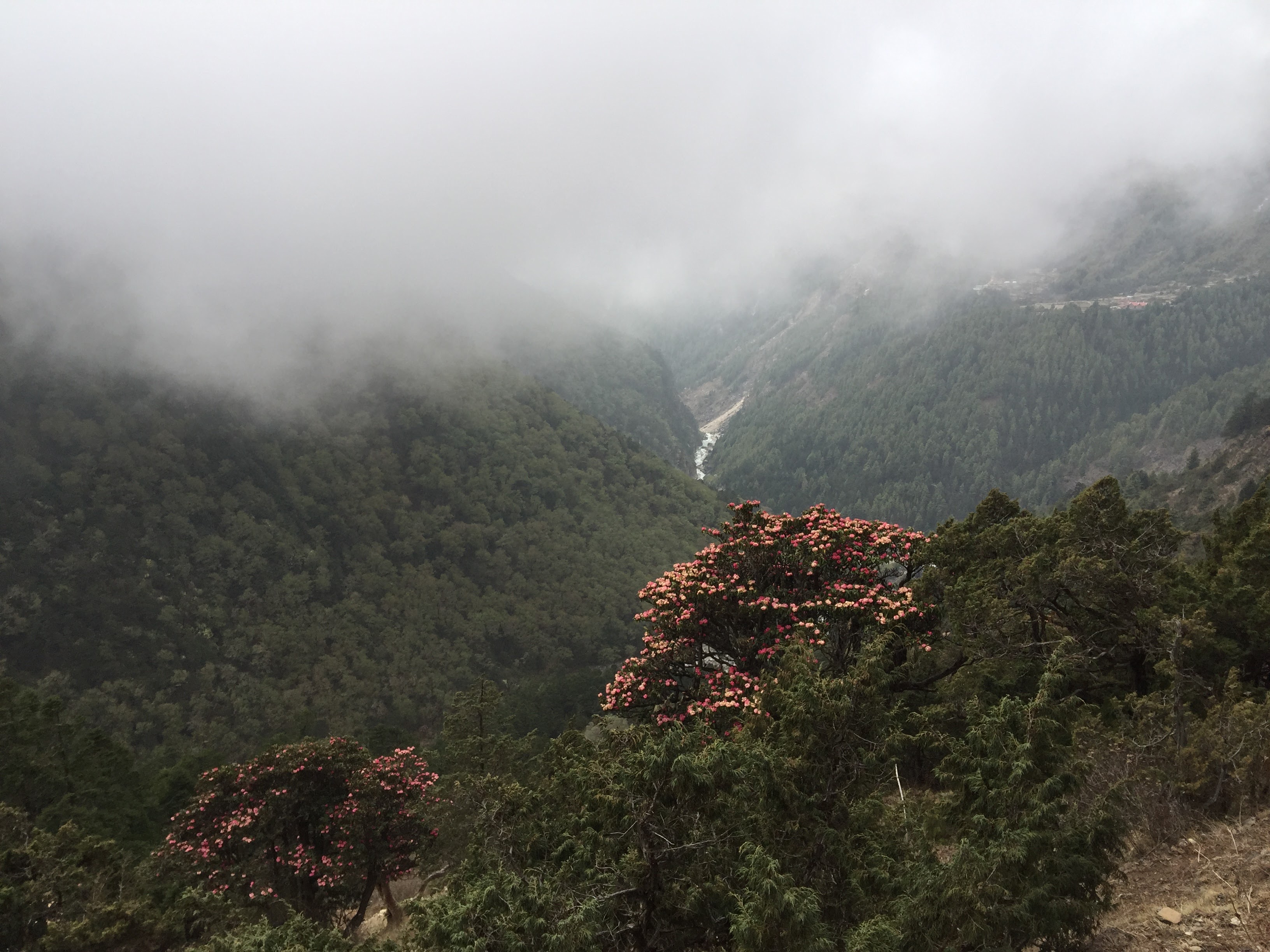
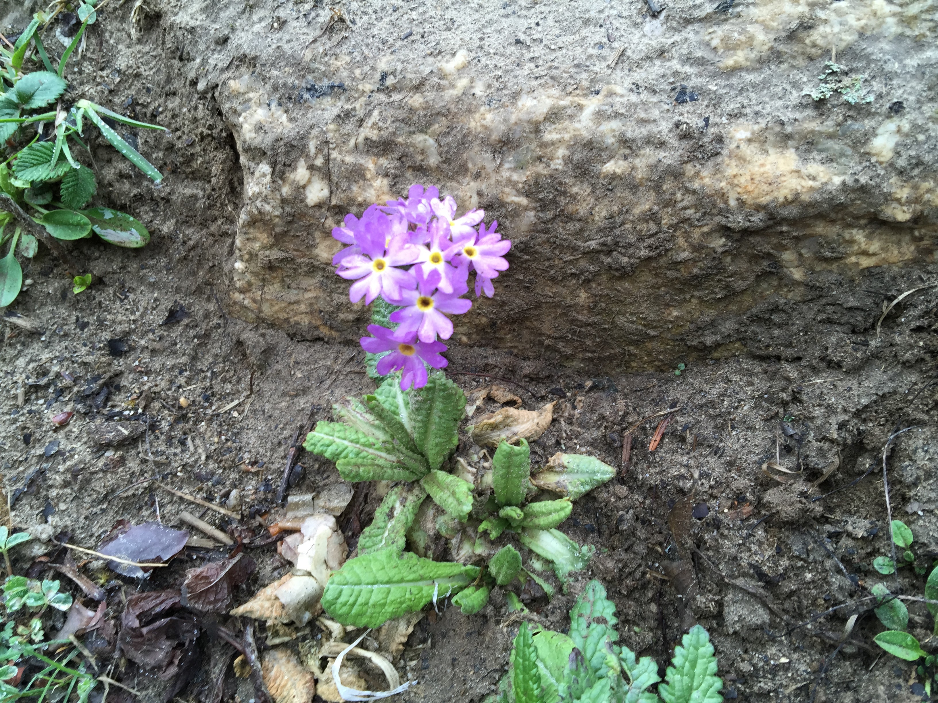
Flora and fauna. We saw a lot of sal trees. Their barks were used as paper in the old days. Lot of lichen on the trees which is supposed to indicate purity of air. Rhododendron flowers and some birds.
Romance was in the air..
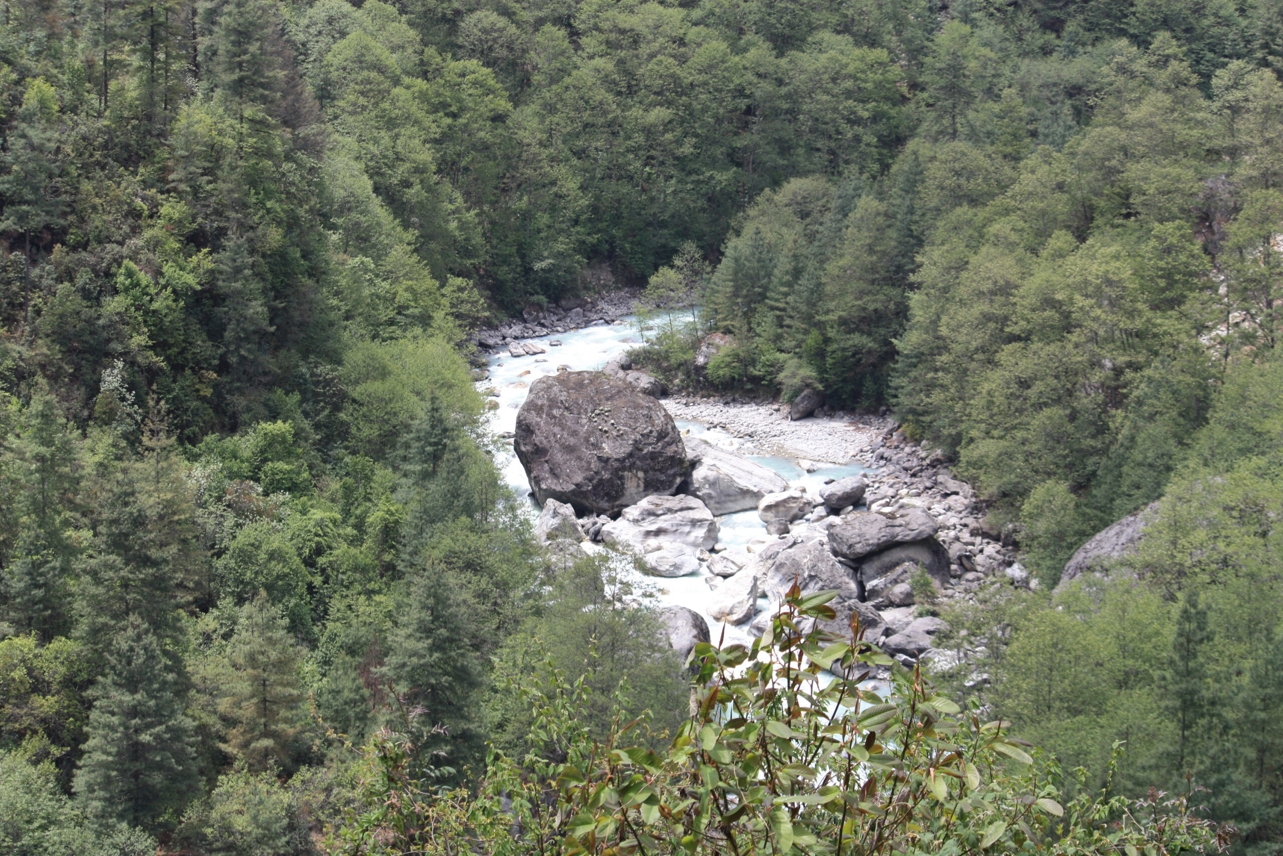
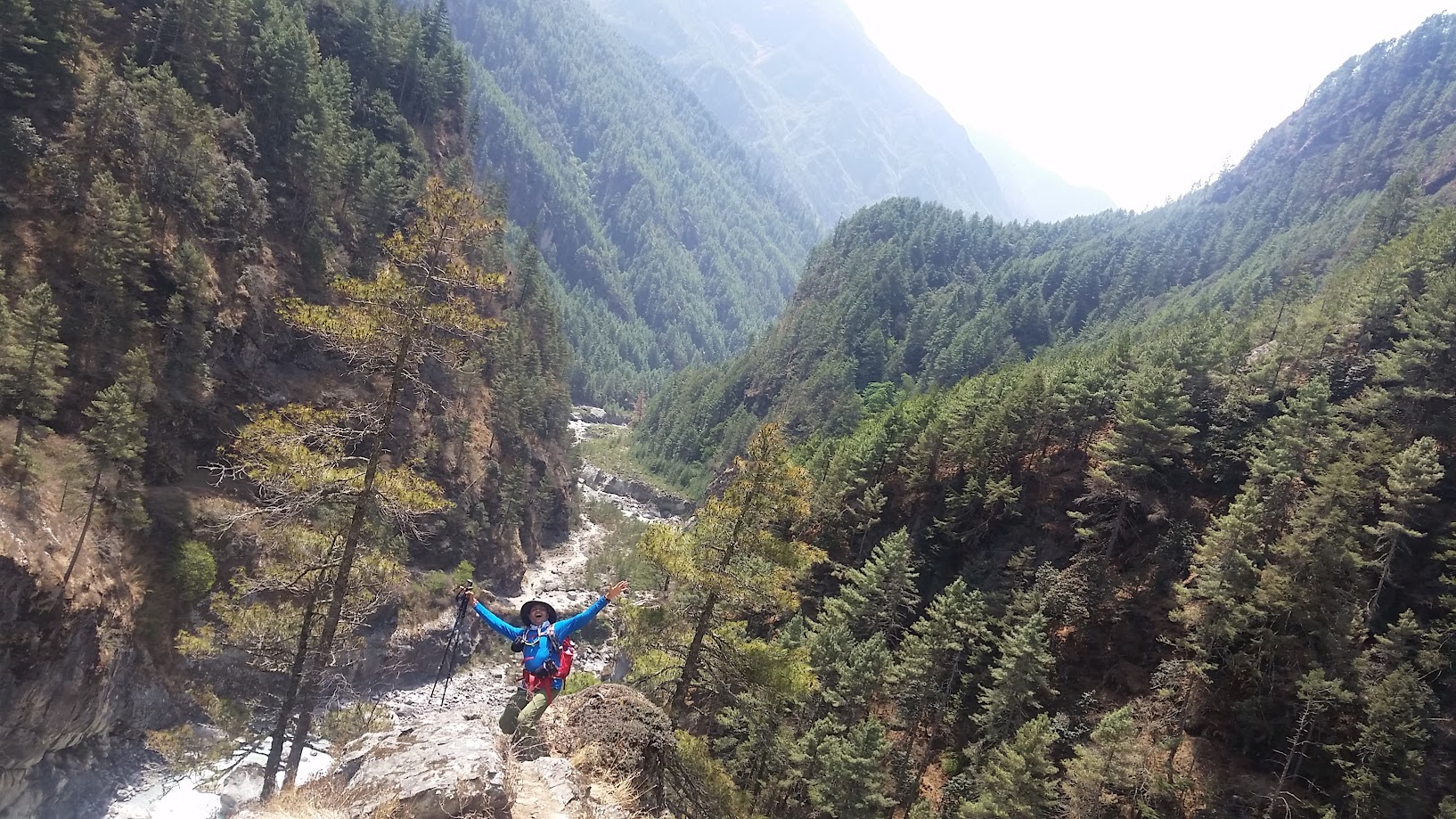
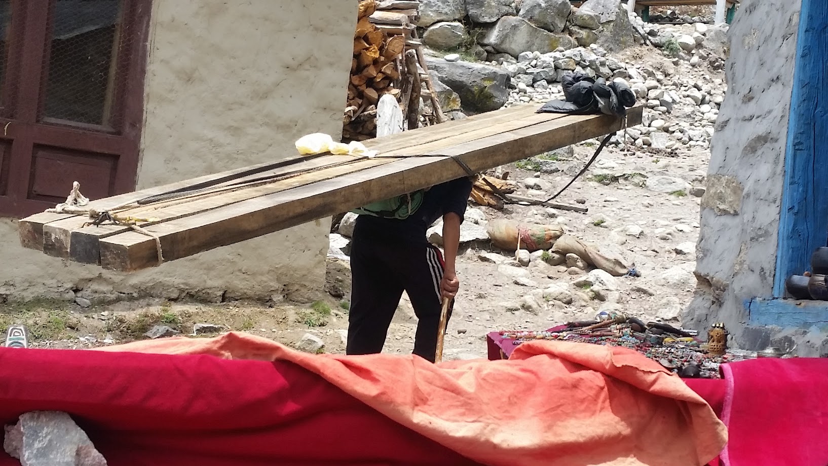
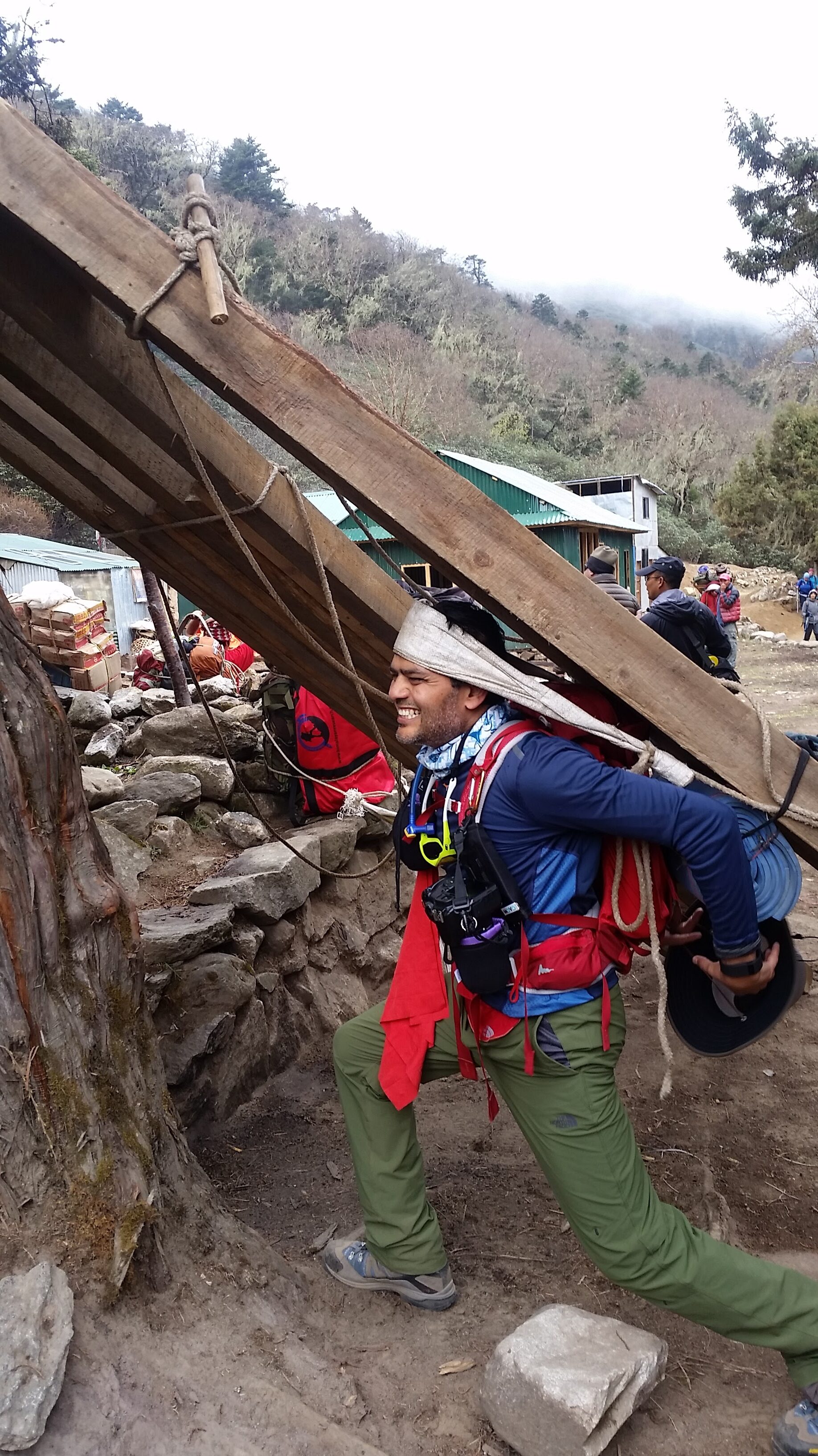
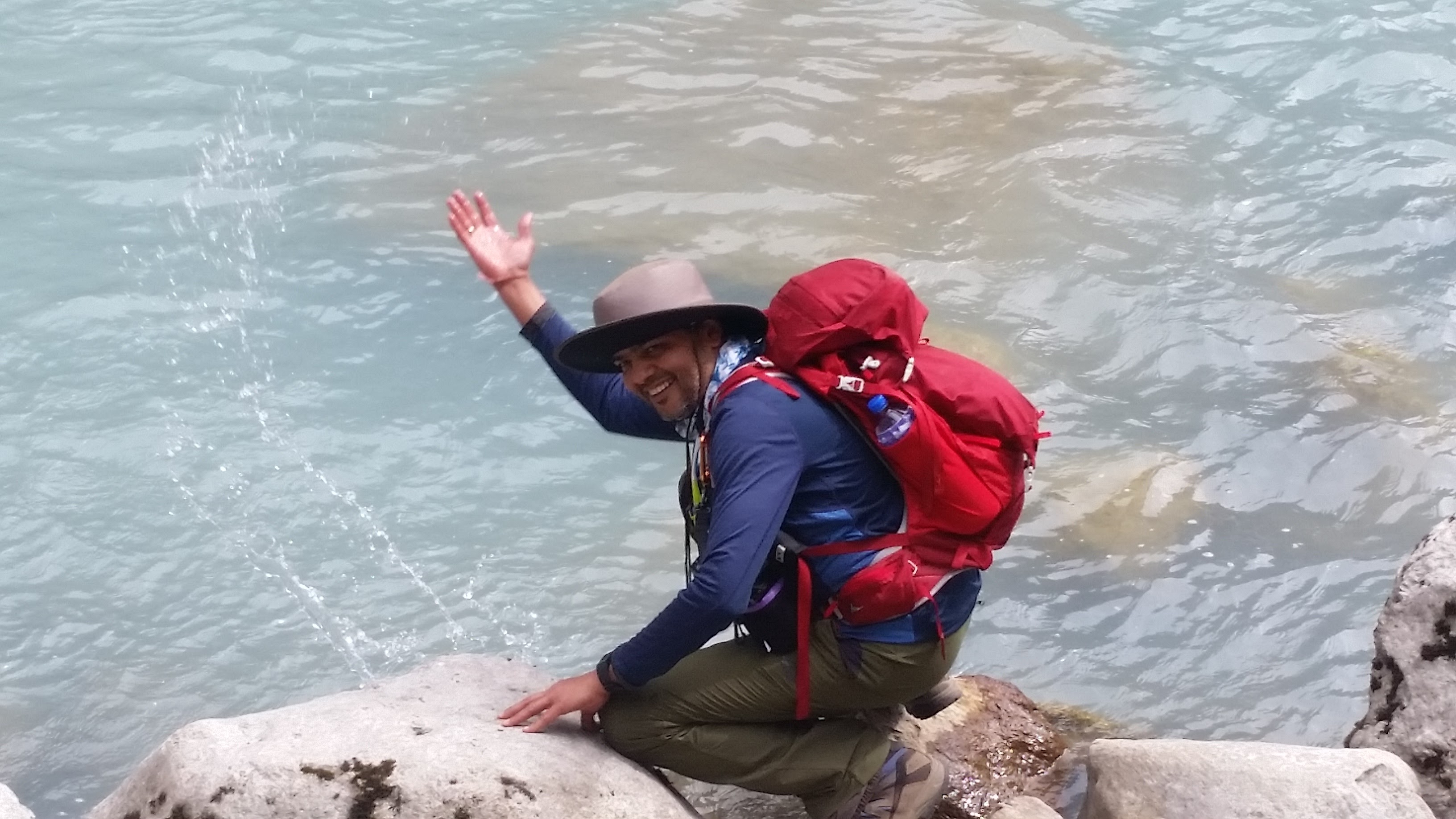
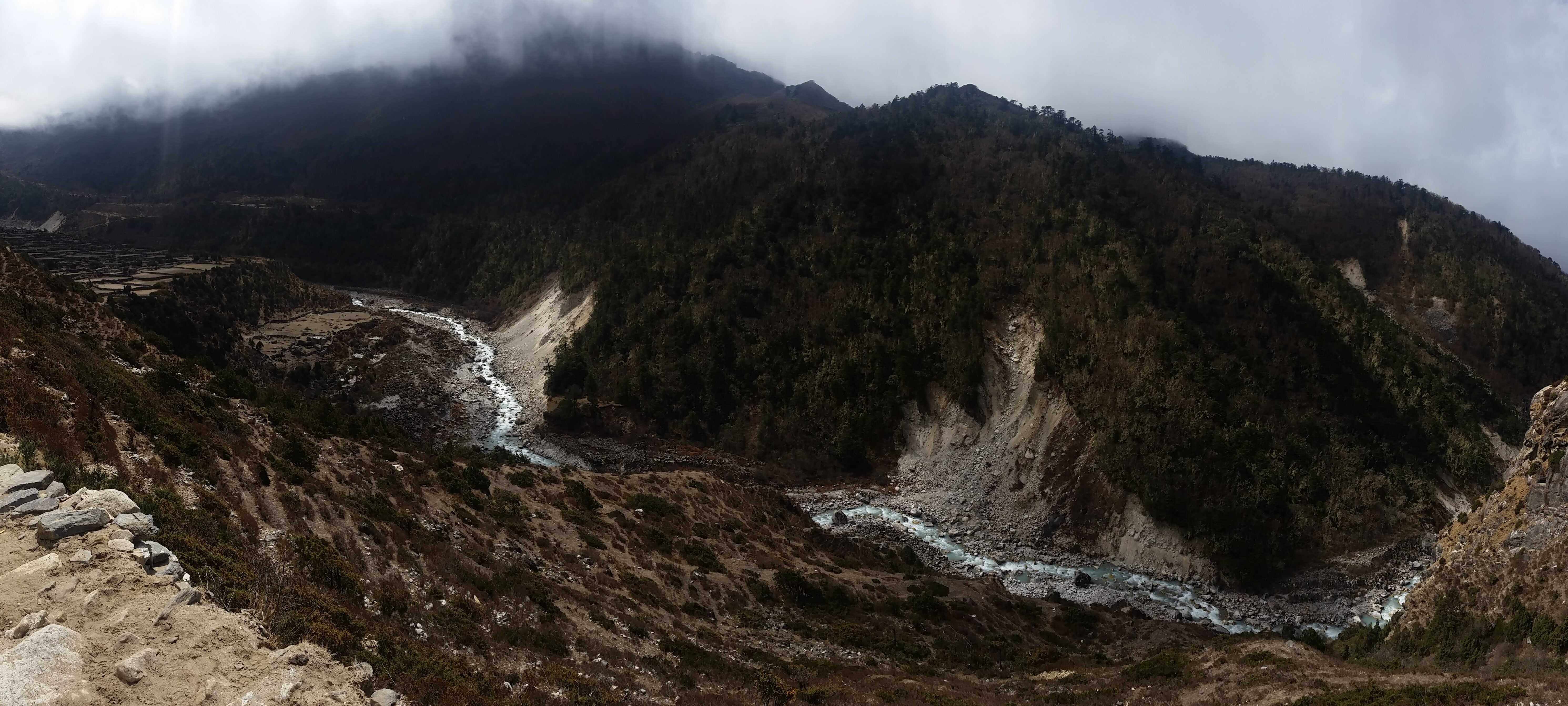
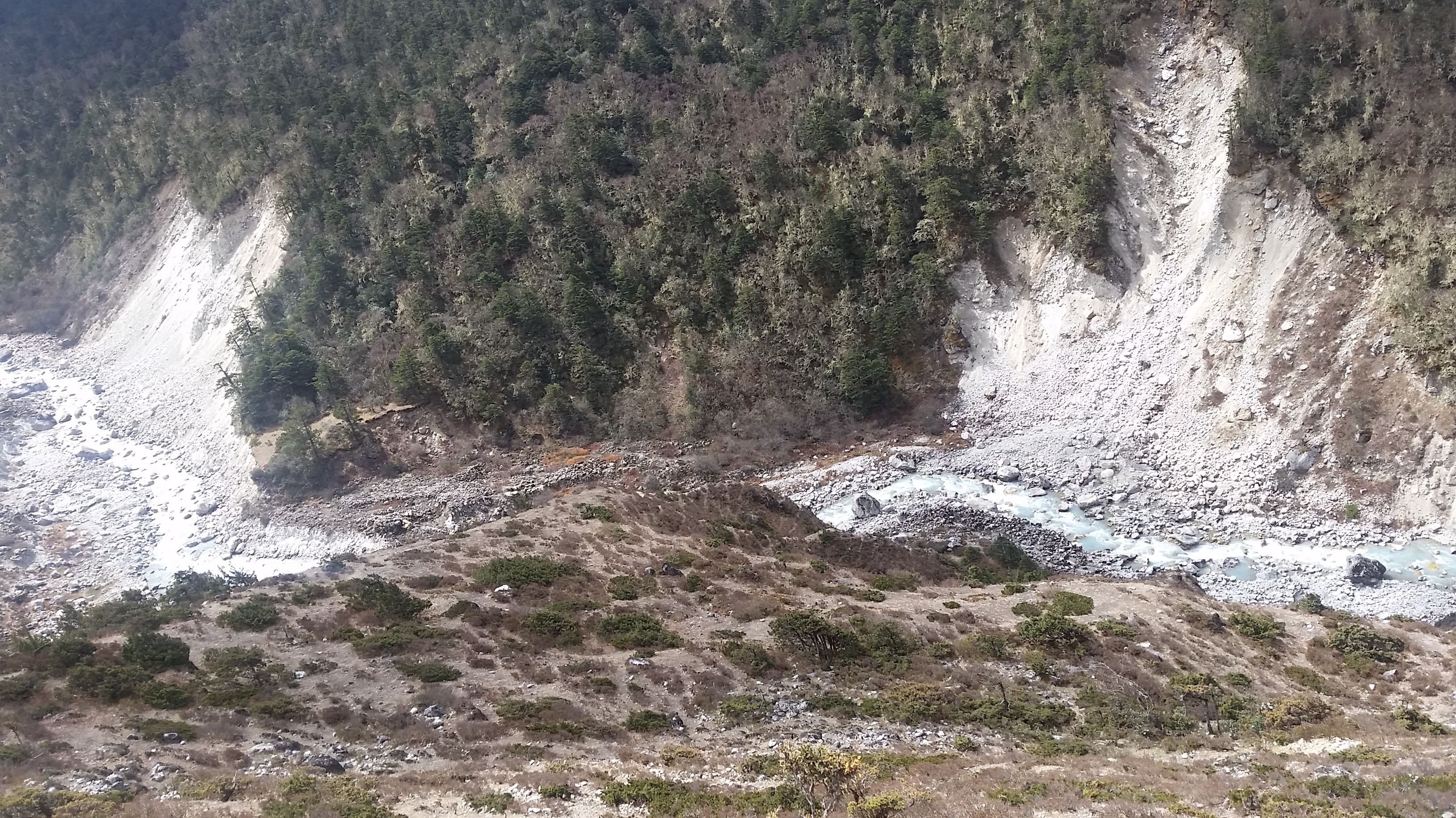
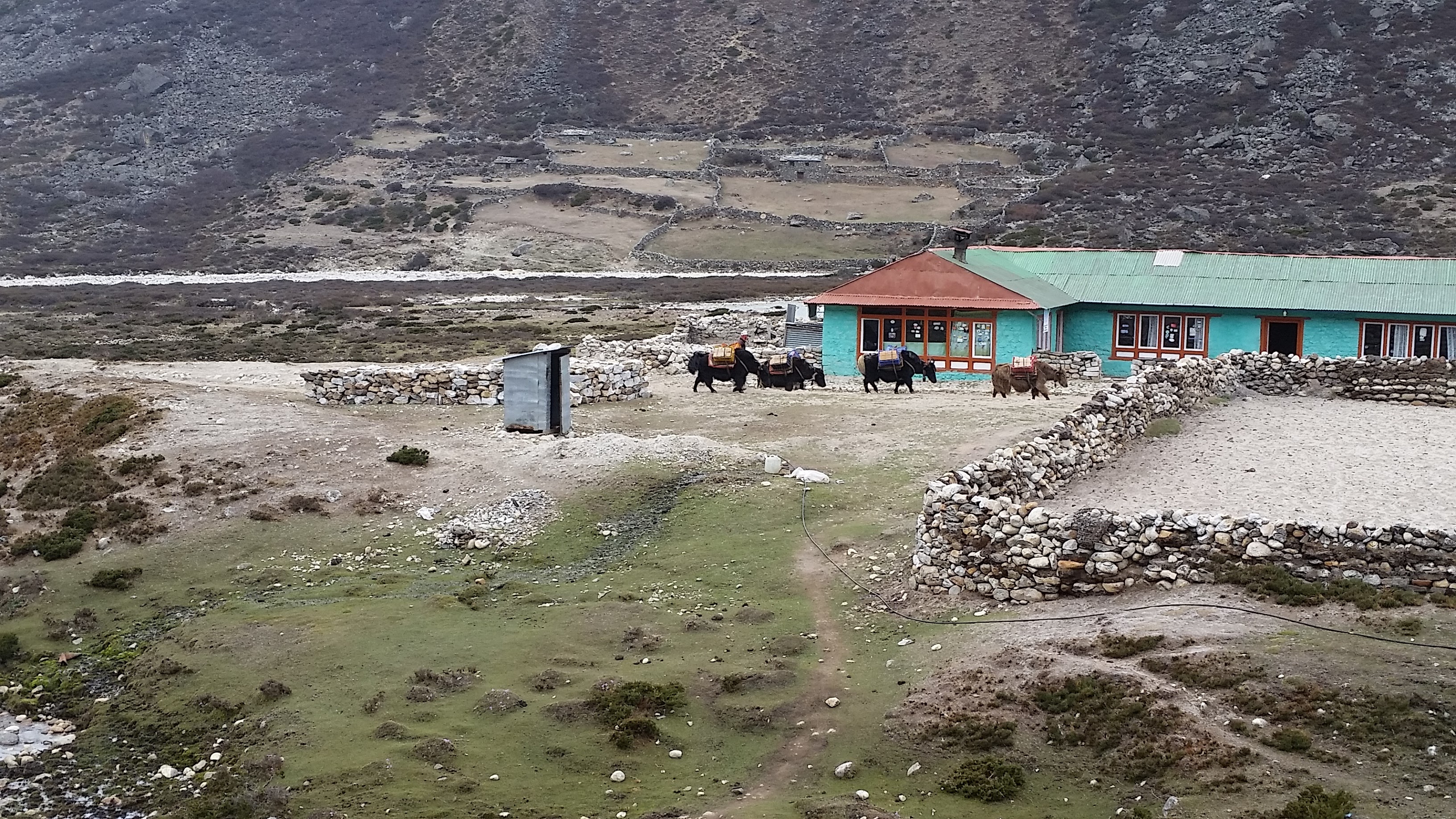
Some more scenic and interesting shots along the way. We got close enough to the river for the first time to be able to touch the water. I hopelessly tried to lift one of the wooden planks the porters were carrying but did succeed later in carrying a lighter load. There were many areas with clear evidence of landslide. Scenery just kept getting better. We saw many Yaks as well. Apparently the ones with nose rings are more aggressive and you need to be careful around them.
Dingboche is finally in sight. Just as we arrived, the fog started rolling in. You can see it in the video clip. Soon the visibility was down to near zero – we couldn’t see anything!
Day 6, May 14 2016: Acclimatization day
- Start: Dingboche. Elevation 4,400 m/ 14,436 ft. Time: 8:30am-1pm
- Acclimatization trek height: 5,100 m/ 16,732 ft. (Nagarjun Hill)
- Elevation gain: 700m / 2,300 ft
- Terrain: Steep incline with some rock climbing at the end
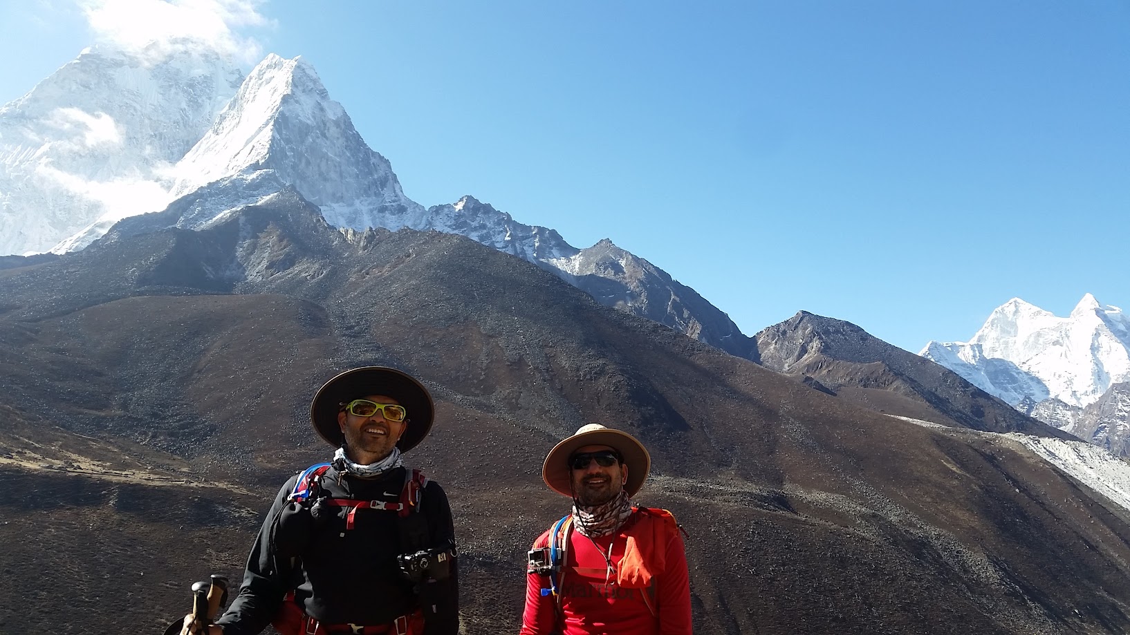
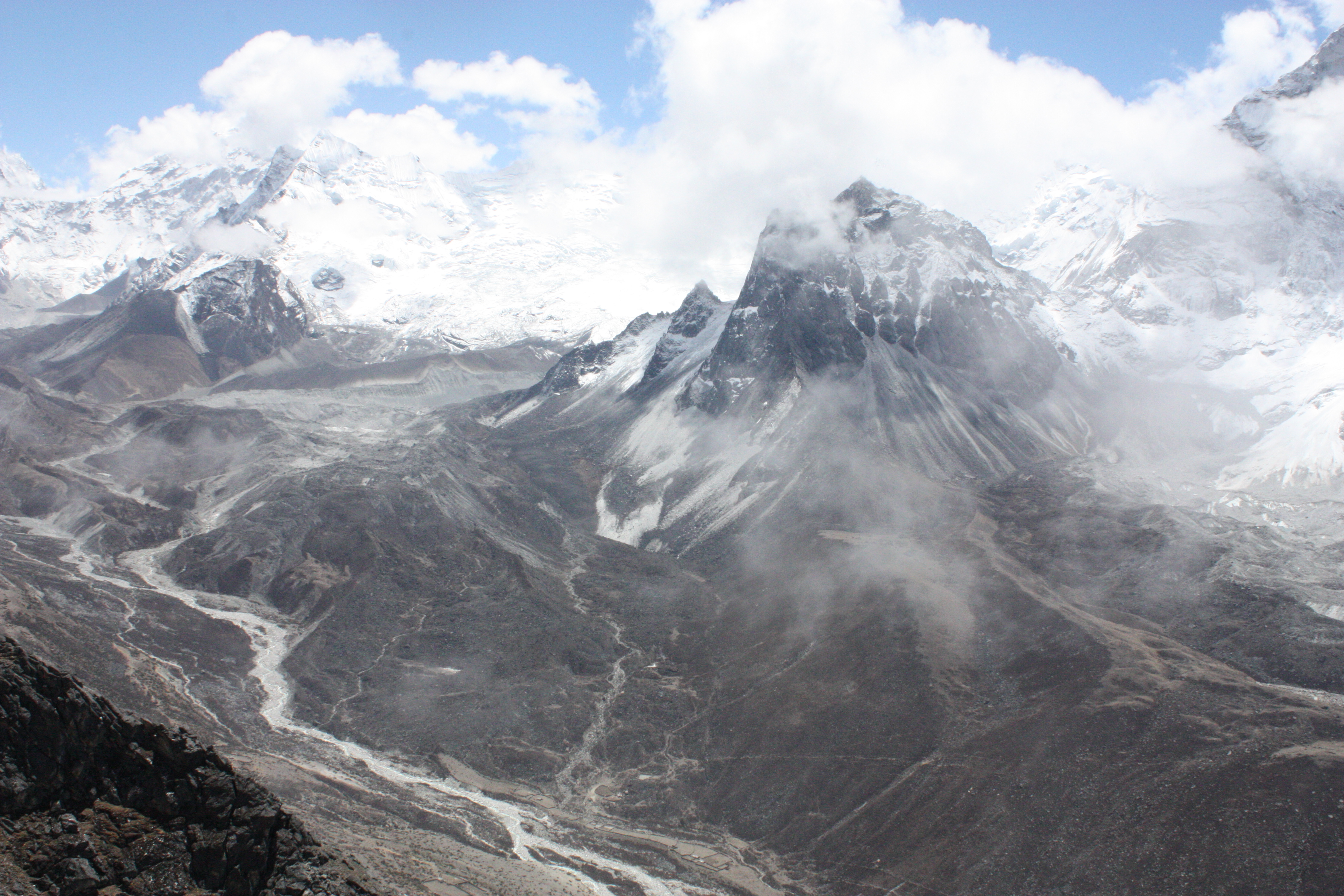
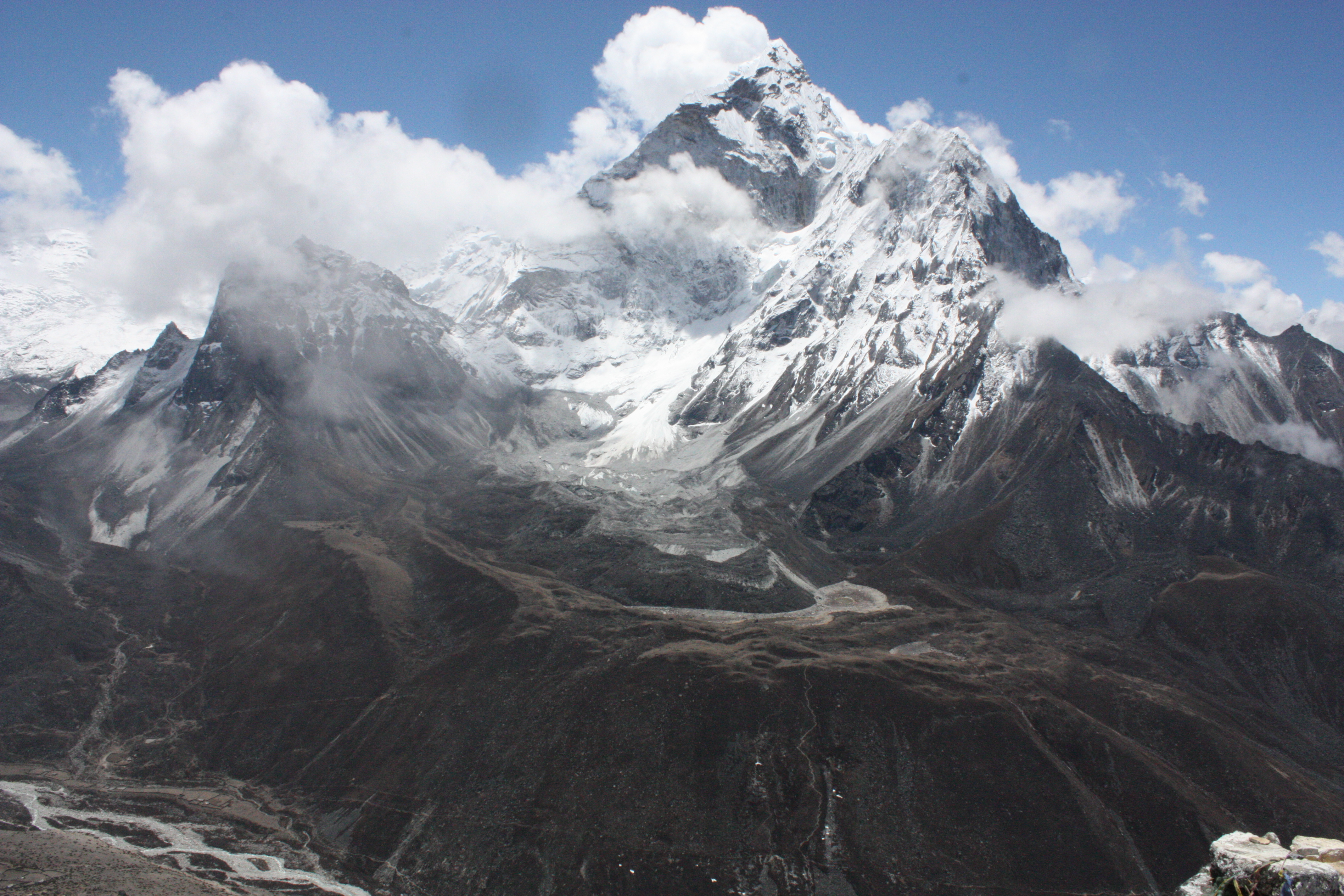
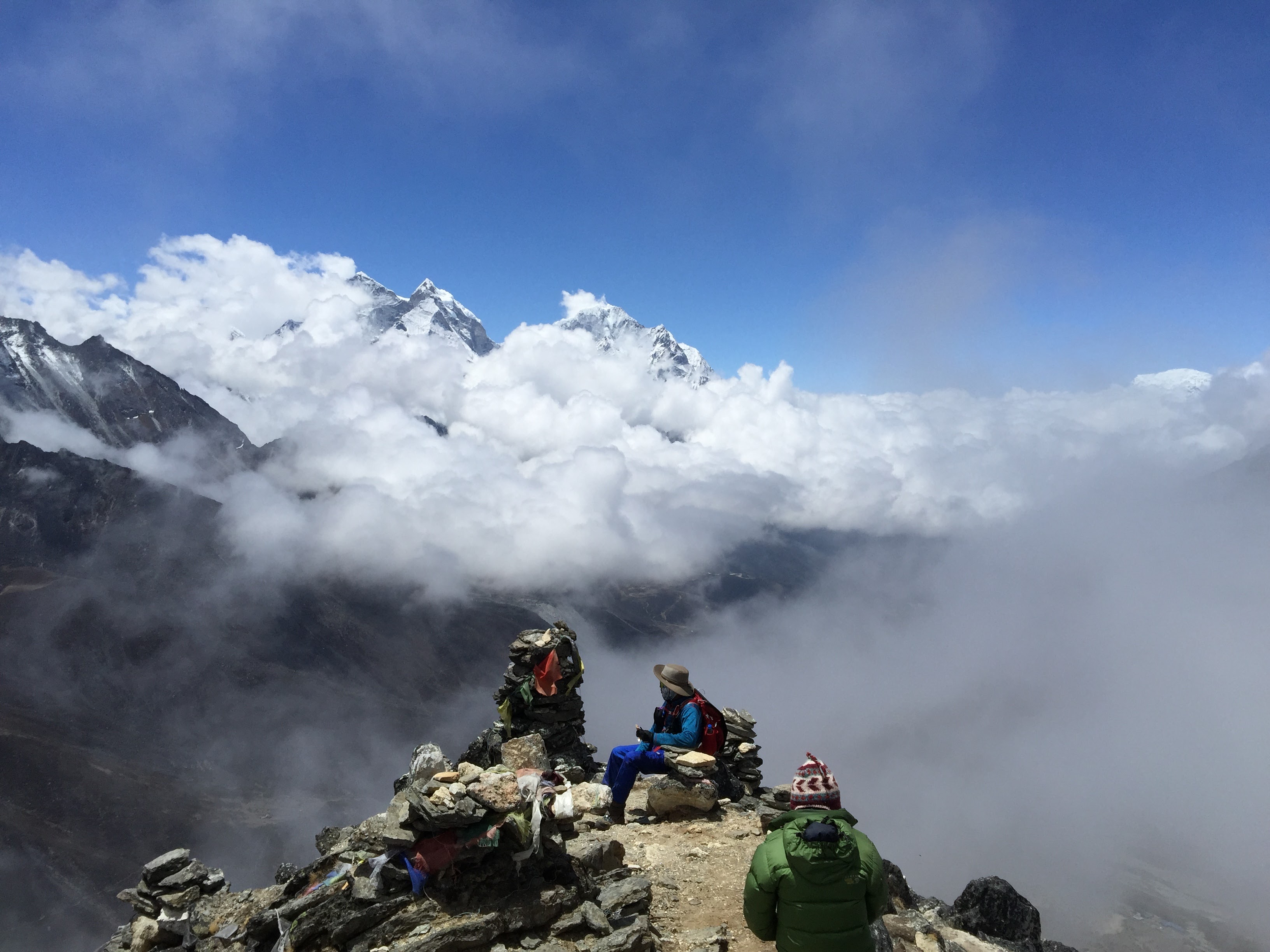
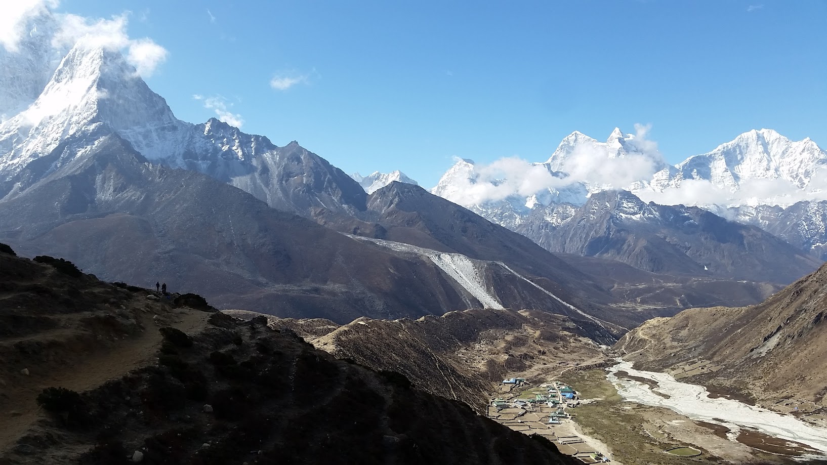
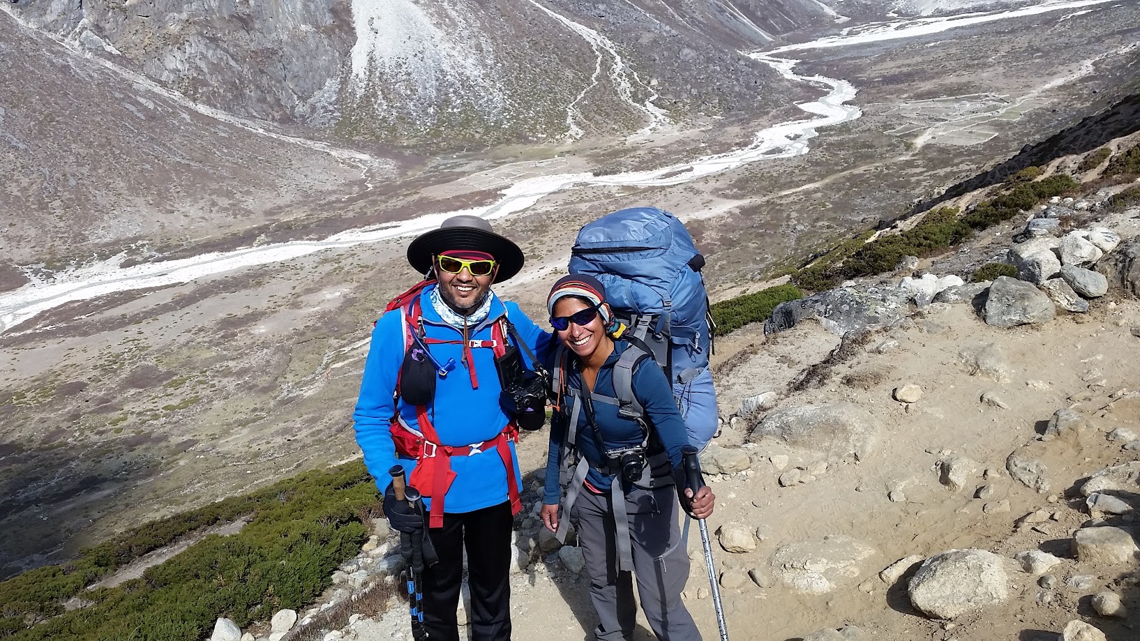
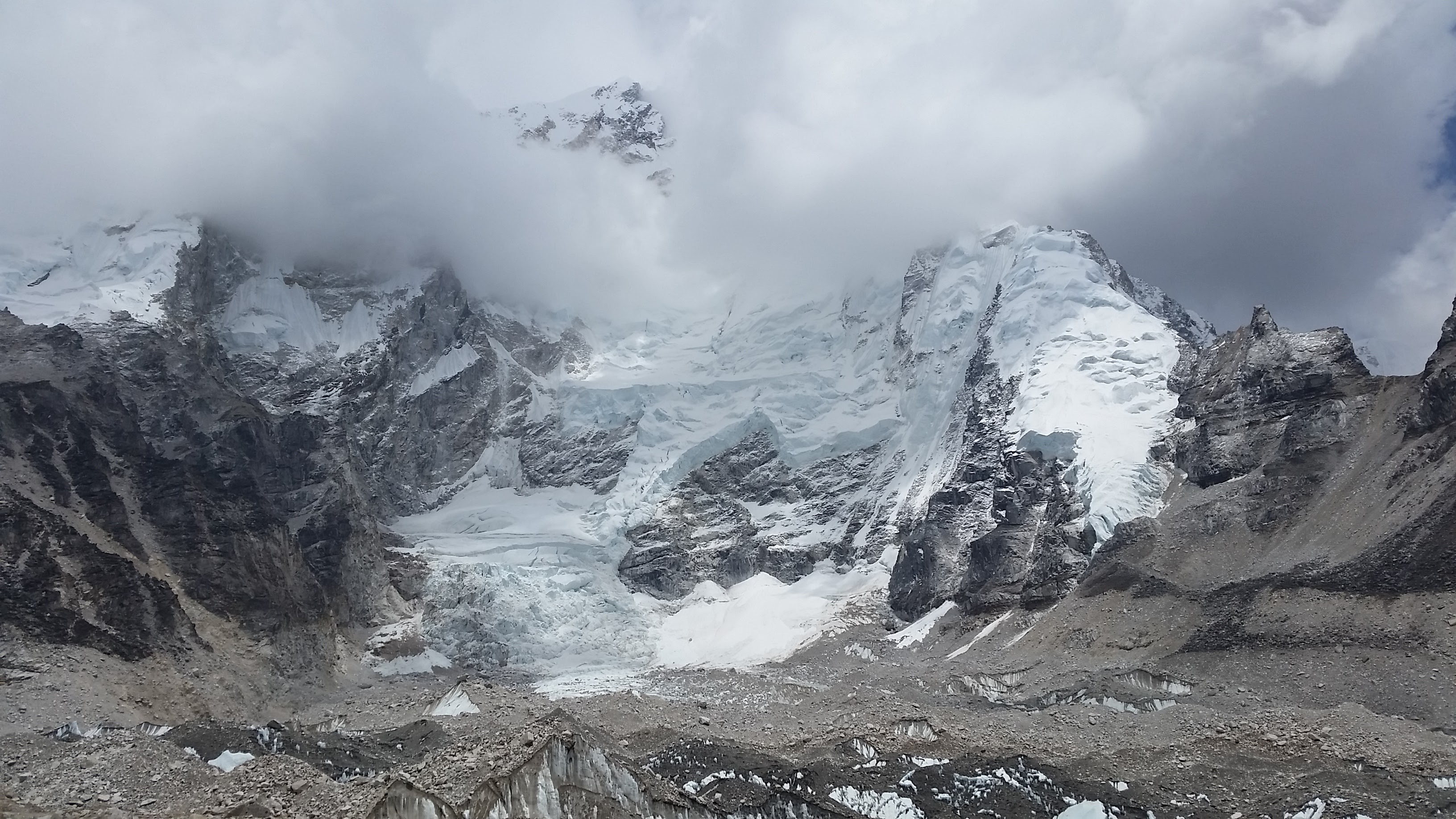
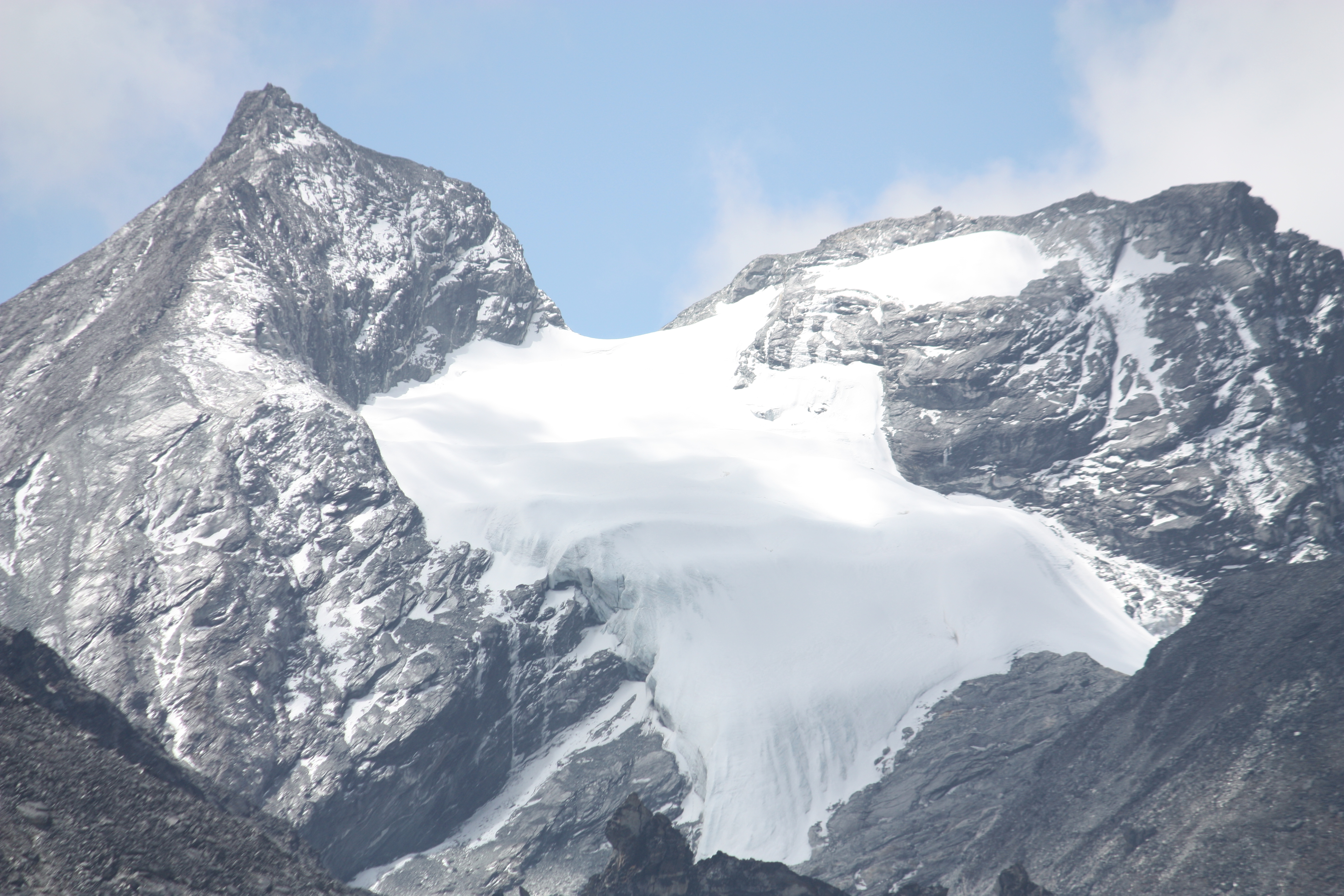
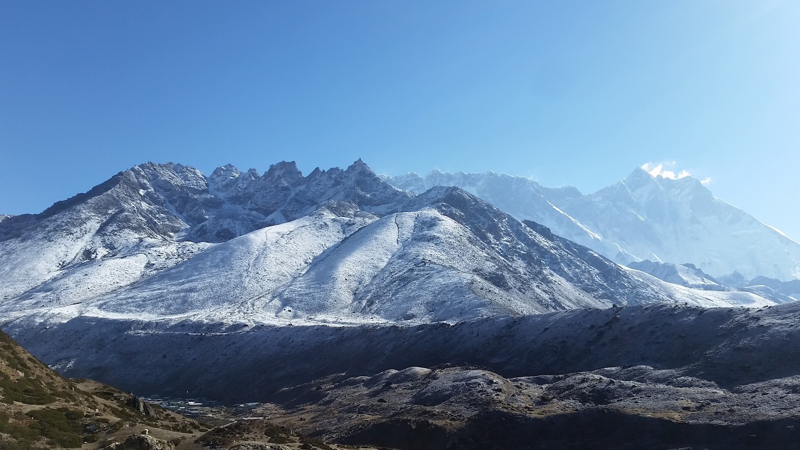
Today we climbed a nearby hill for acclimatization. Vikas and I decided to climb all the way to the peak which was a nearly 700m climb. The views were simply breathtaking and we were able to see a number of peaks including Ama Dablam, Lhotse, Kangtega, Thamserku, Taboche and Cholatse.
It took about 3:15hr to go up. On the way back I decided to descend fast and was able to come down in 55min. I was practically running downhill. It was slippery and steep and scary but also a lot of fun!
After lunch I decided to go up once again – this time with Samir. We went up about 400m before it got too cold and had to come back.
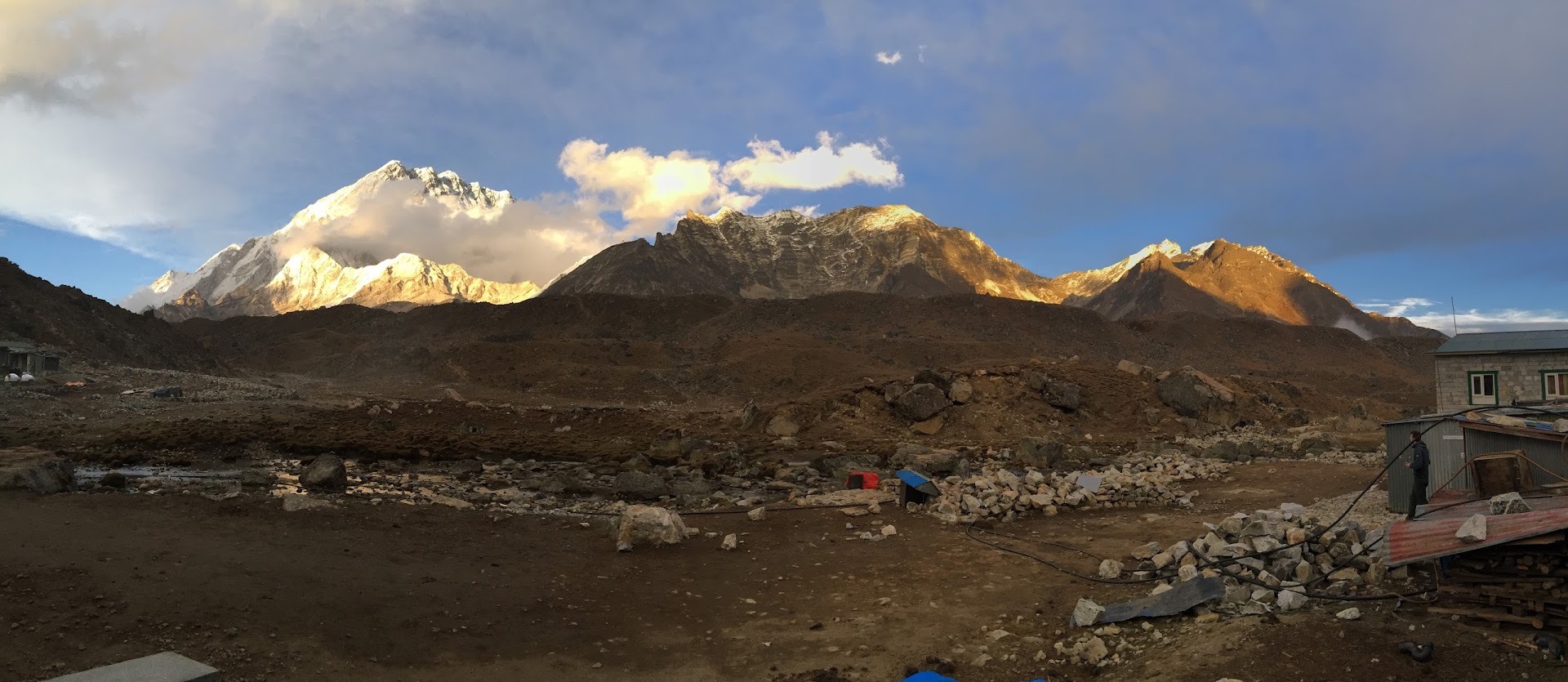
Views of Ama Dablam (6,812m, 22,349ft) mountain peaks. Ama Dablam means mother and daughter.
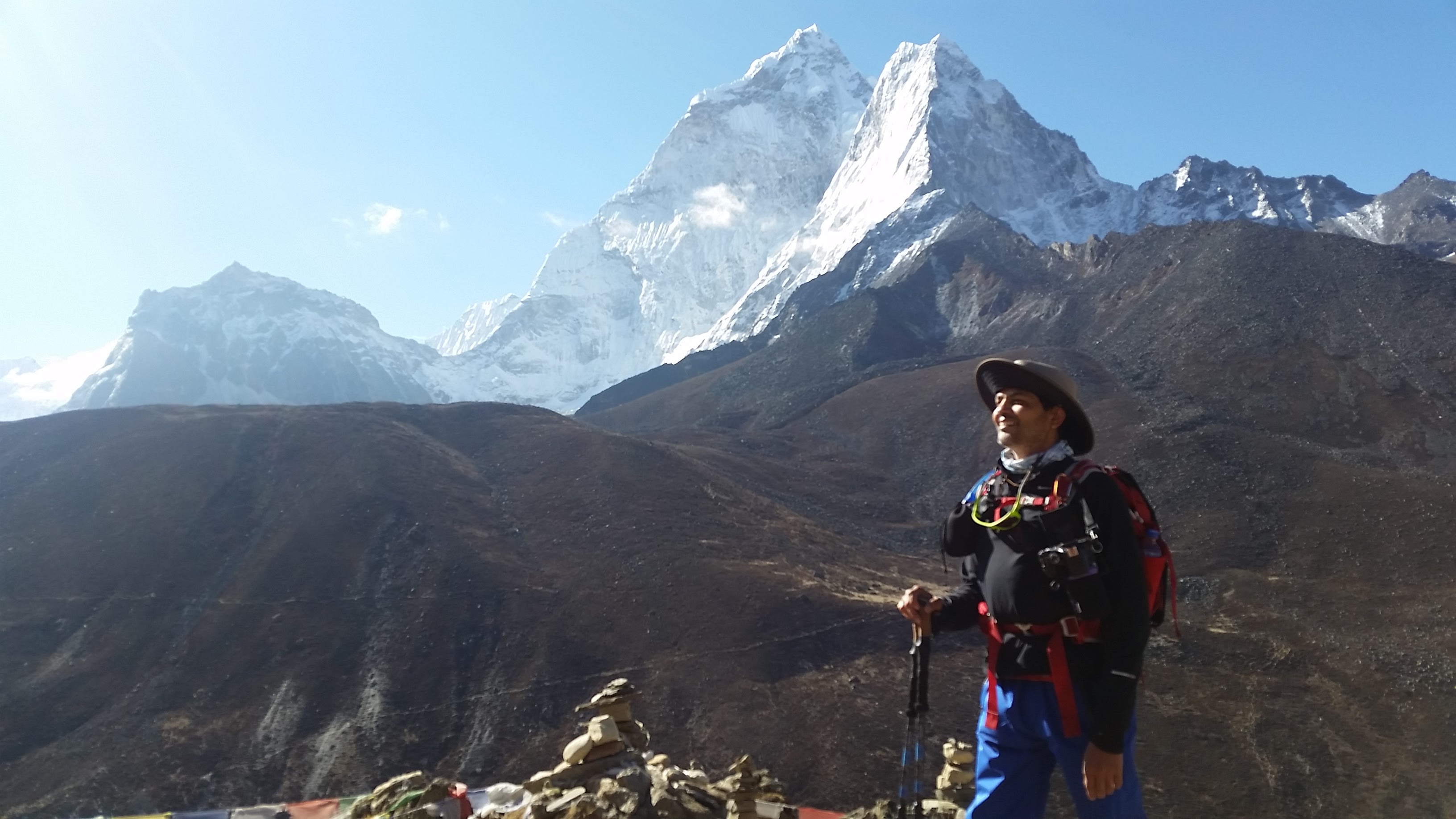
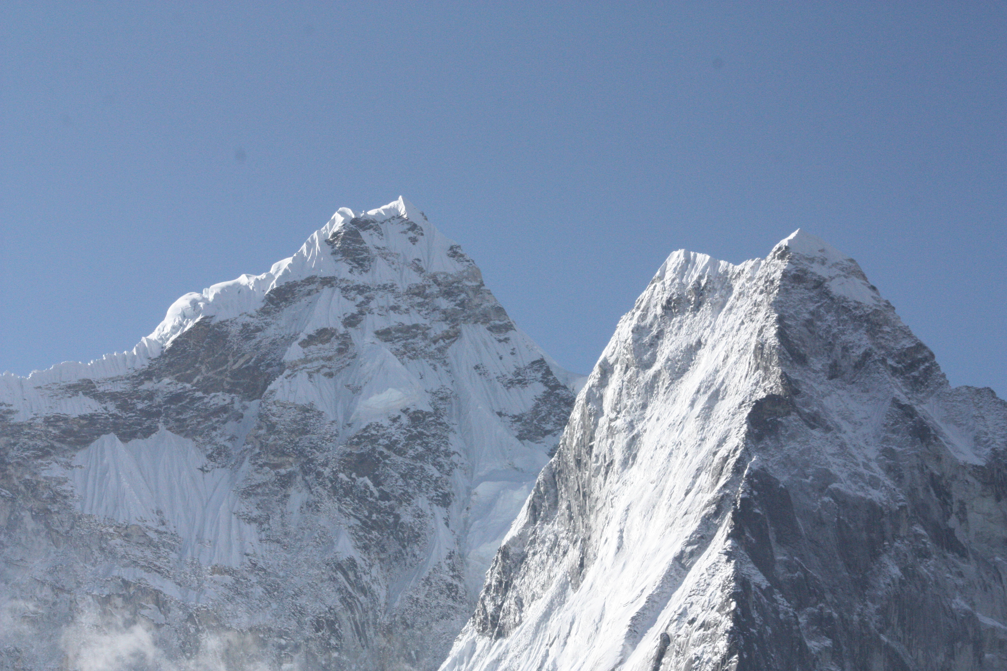
Views of Kangtega and Thamserku peaks. They look like a reverse check mark. The one on the left is Kangtega (6,783m / 22,251ft) and the one on the right is Thamserku (6608m / 21,729ft). Kangtega looks like a horse’s saddle
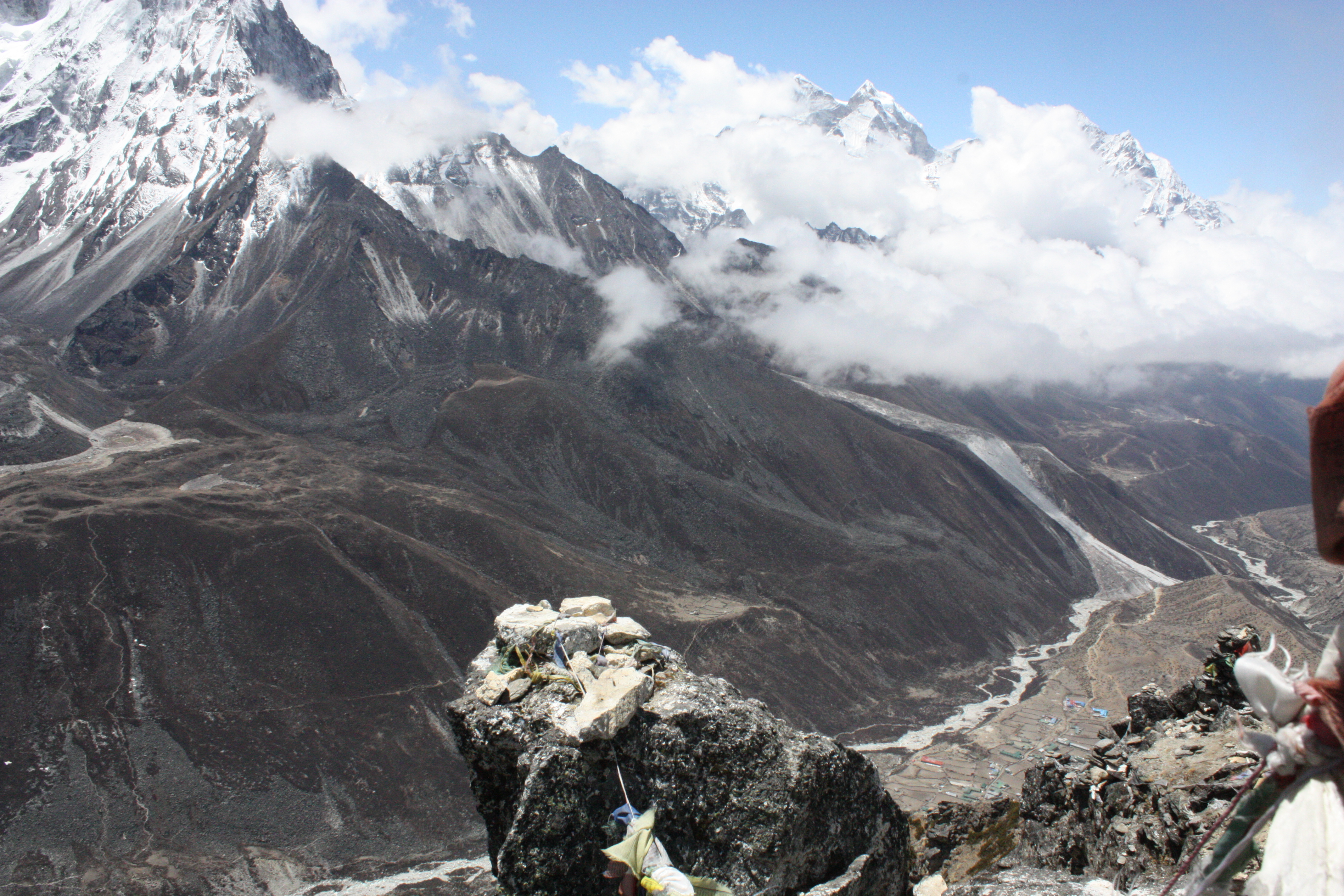
As soon as we reached the top of Nagarjun hill, the fog rolled in as if on cue. Soon all peaks were covered in clouds.
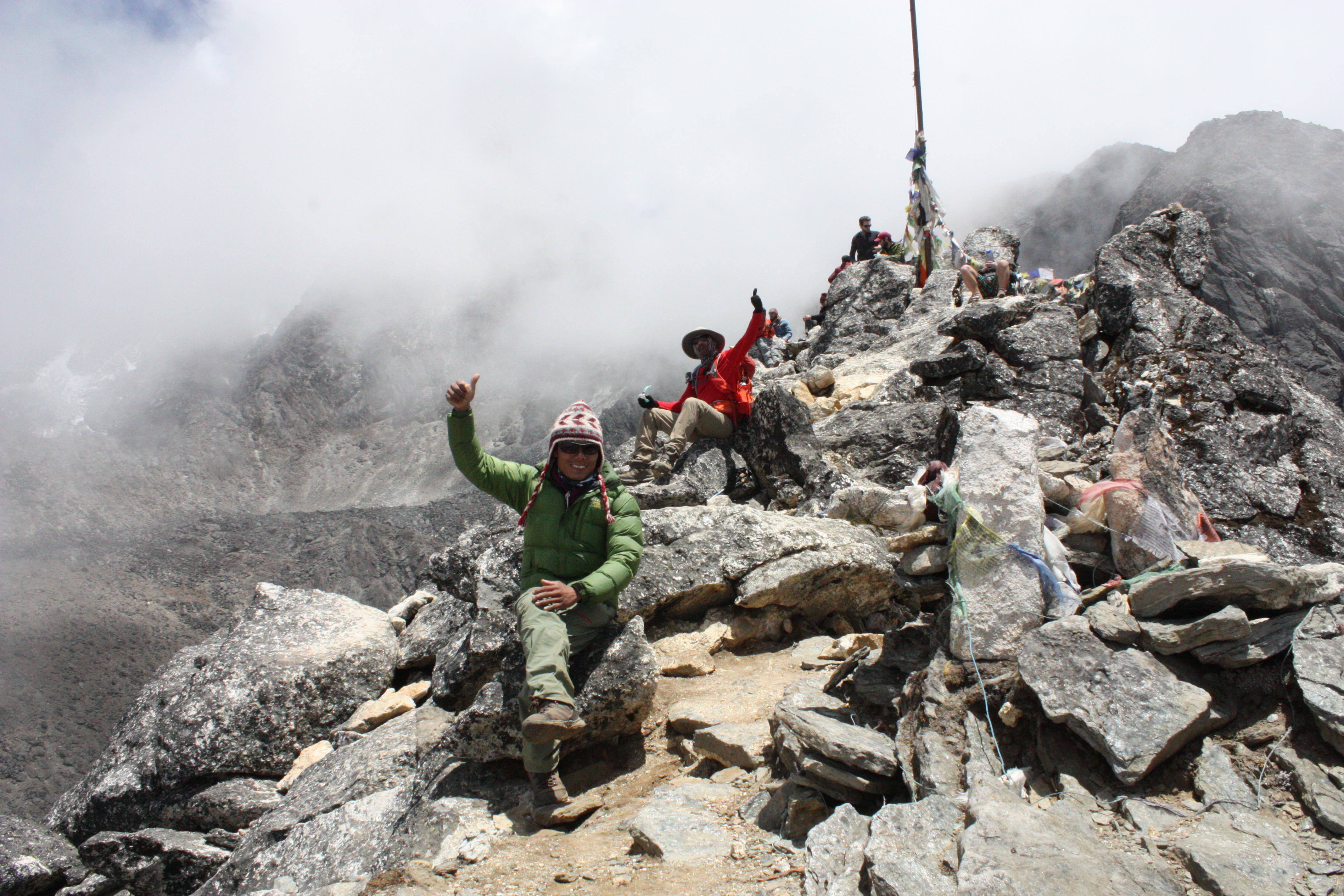
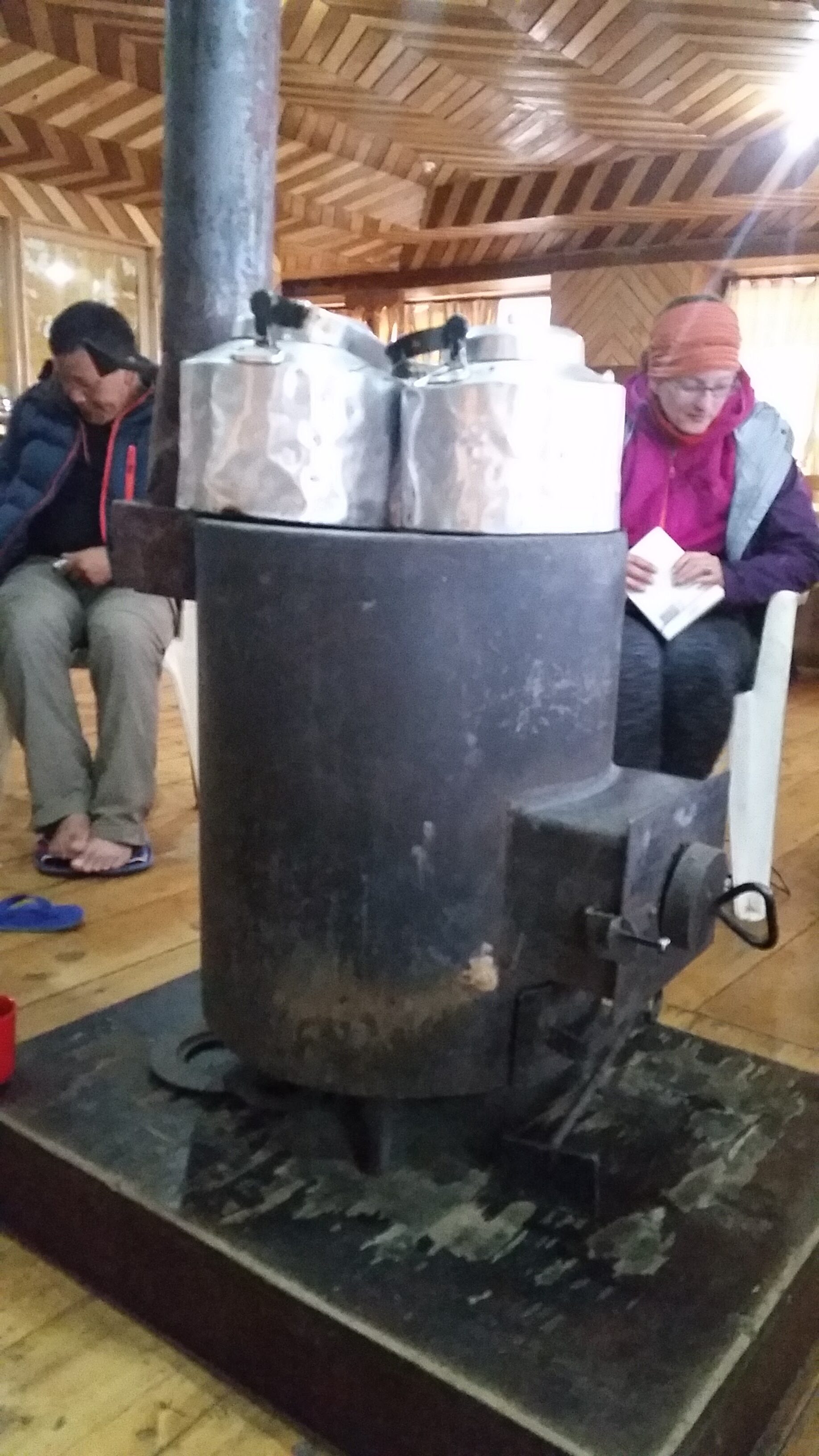
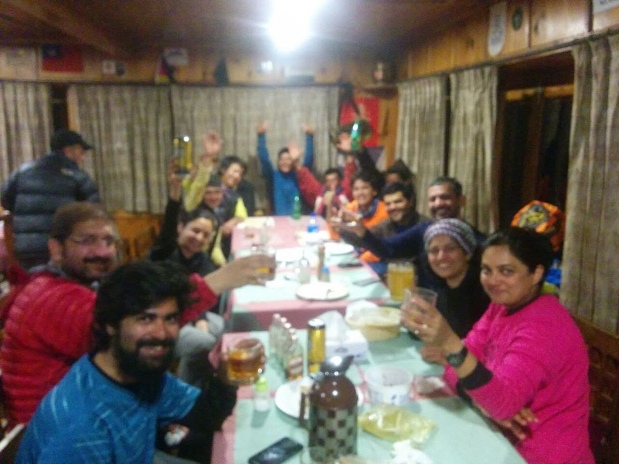
In the evening we all got together around the stove in the middle of the dining room and started singing songs all the way to, and including dinner. Yes, people were singing while eating 🙂
All lodges during the trek have a stove in the dining area which is lit in the evening and provides a decent amount of heat. Yak dung is usually used as the fuel.
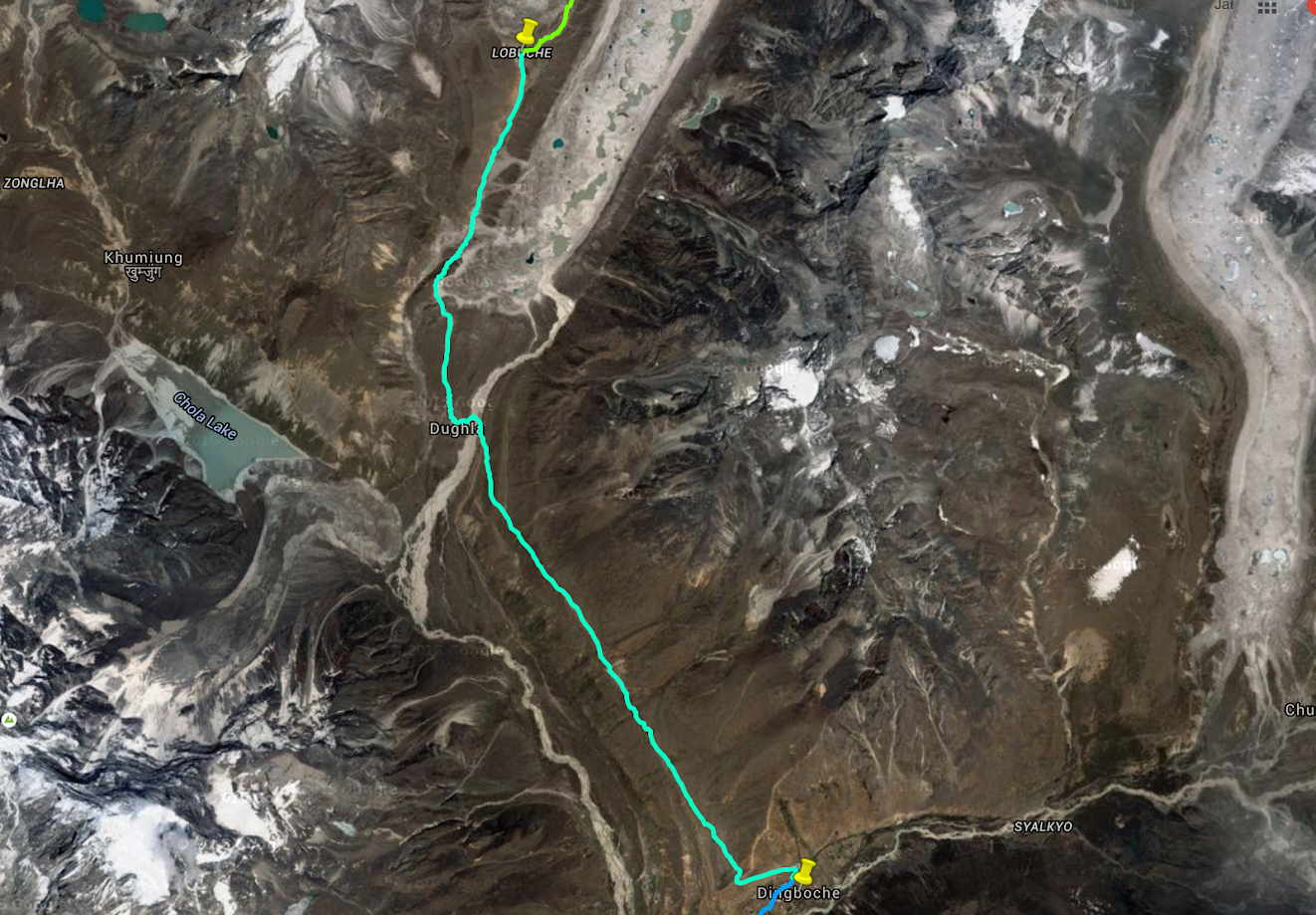
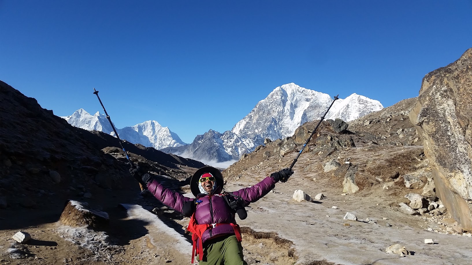
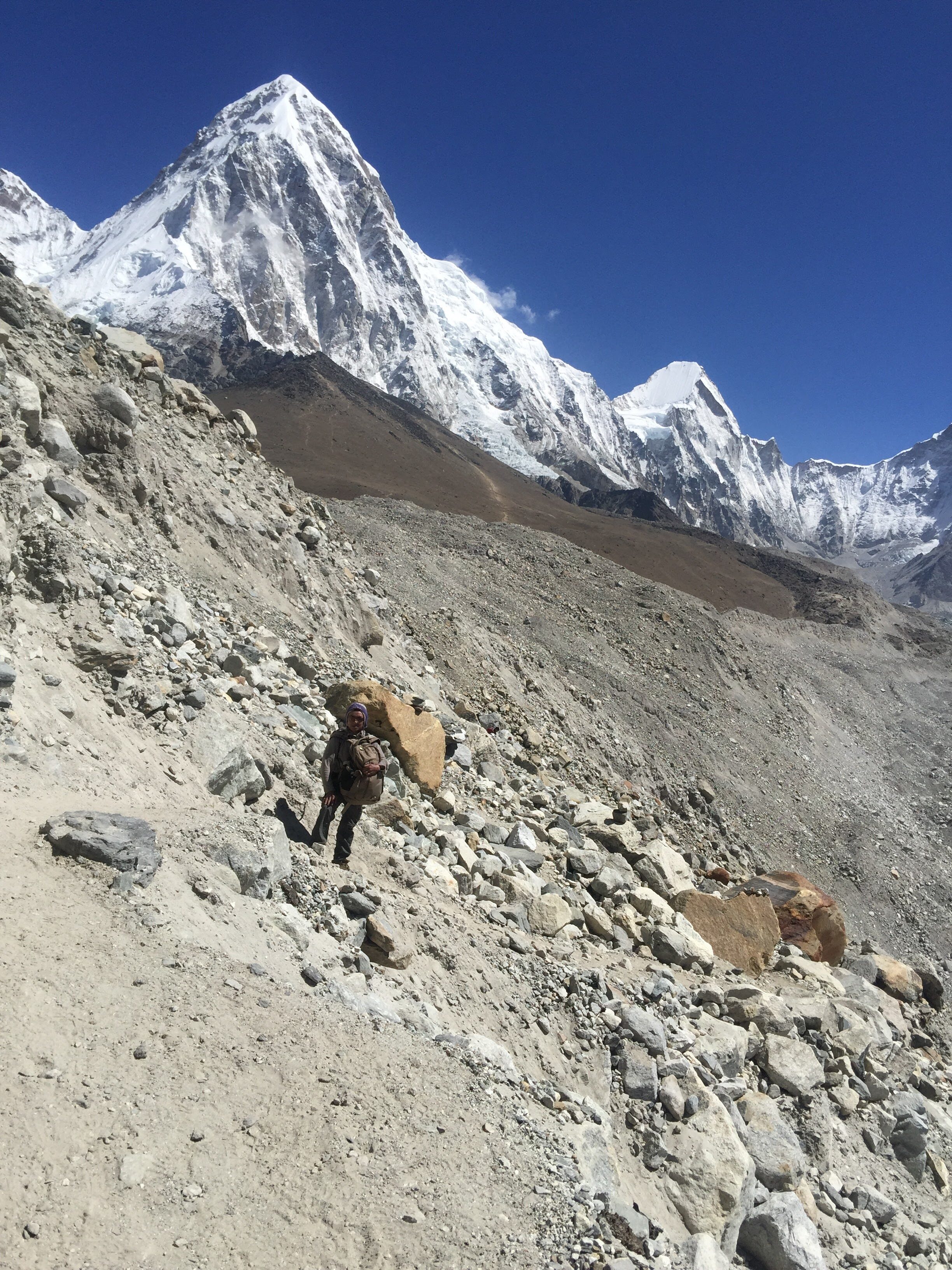
Day 7, May 15 2016:
- Start: Dingboche. Elevation 4,400m/ 14,436 ft. Time: 7:30am
- End: Lobuche. Elevation 4,900m/ 16,077ft Time: 2:30pm
- Elevation gain: 500m / 1,640 ft
- Distance: 12 km (7.5 miles)
- Terrain: Nepali flat, steep incline, Nepali flat
Looks like another beautiful day is in store for us
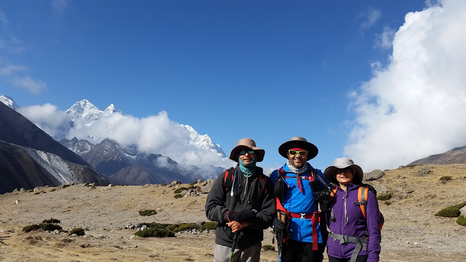
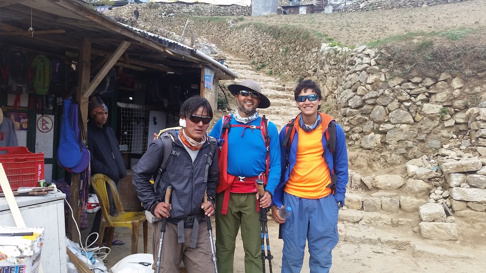
We met Priyanka from San Francisco a few times during the trek. She was traveling alone, carrying about 50lb of weight, going to EBC and then planning to climb the Lobuche peak. She has trekked around the world. It was really great to meet her.
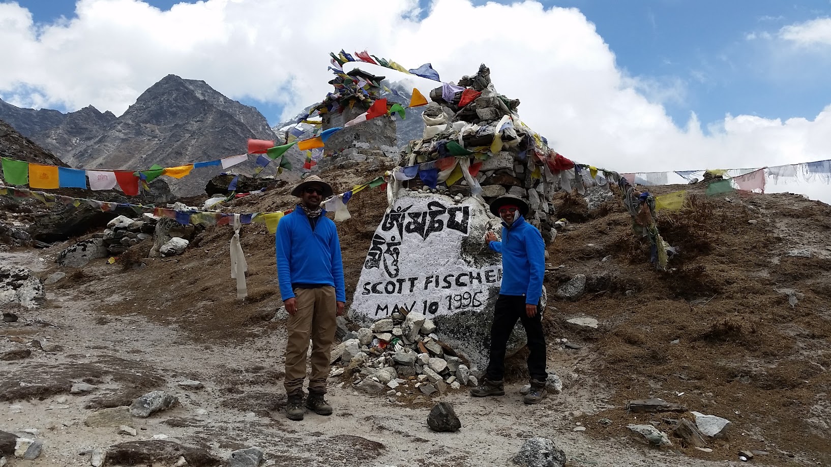
We were supposed to stop at Dugla for lunch but we were making good time and decided to go straight to Lobuche. After Dugla, there was a long up hill section over the Thukla Pass to top out at the Everest Memorial. The memorials has been created for climbers who died in their Everest quest. We paid our tribute to these brave souls and continued our journey to Lobuche.
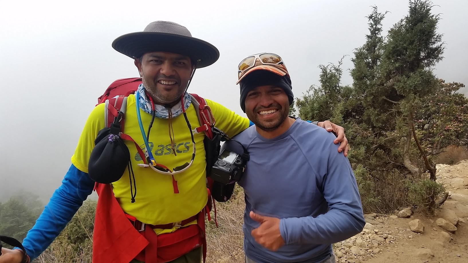
As we neared Lobuche, it started snowing. It felt like a perfect ending to our trek. However, we were also concerned about the remaining group who was coming at a slower pace – we hoped that they won’t get stuck in a snowstorm. Fortunately they were not too far behind and made it safely. Vikas, Sahil, Anu and I arrived first, closely followed by Samir and Prashant. Prashant had found a really steady walking pace on his 55th birthday and seemed to be trekking better every day.
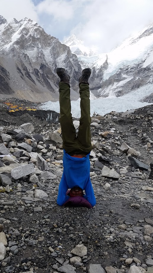
Standing outside with my mouth open wide… time to be a kid again 🙂
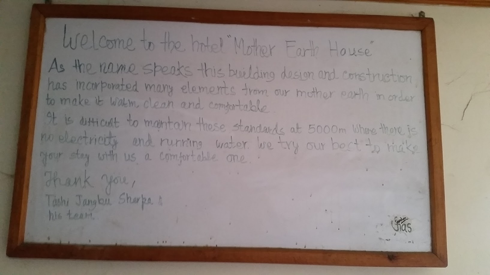
There is no running water or electricity at this height. Lights are powered by solar panels and fuel is really expensive.
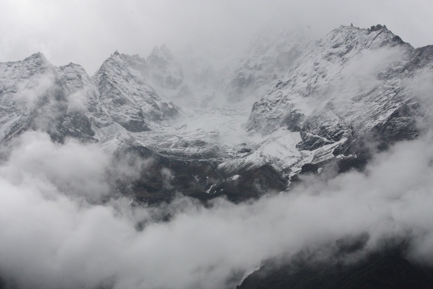
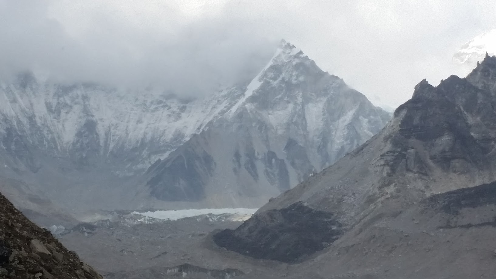
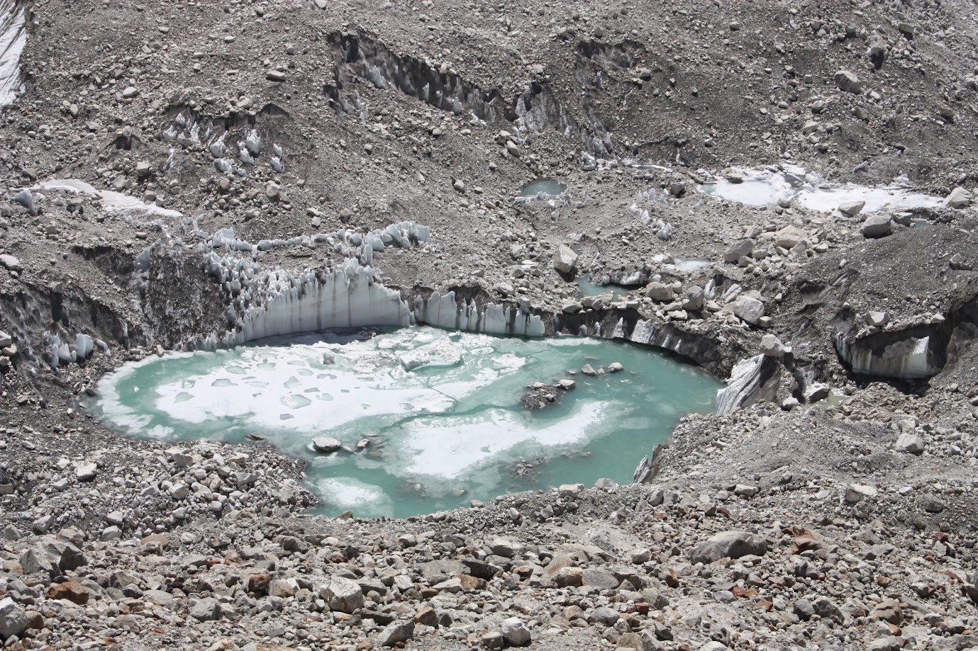
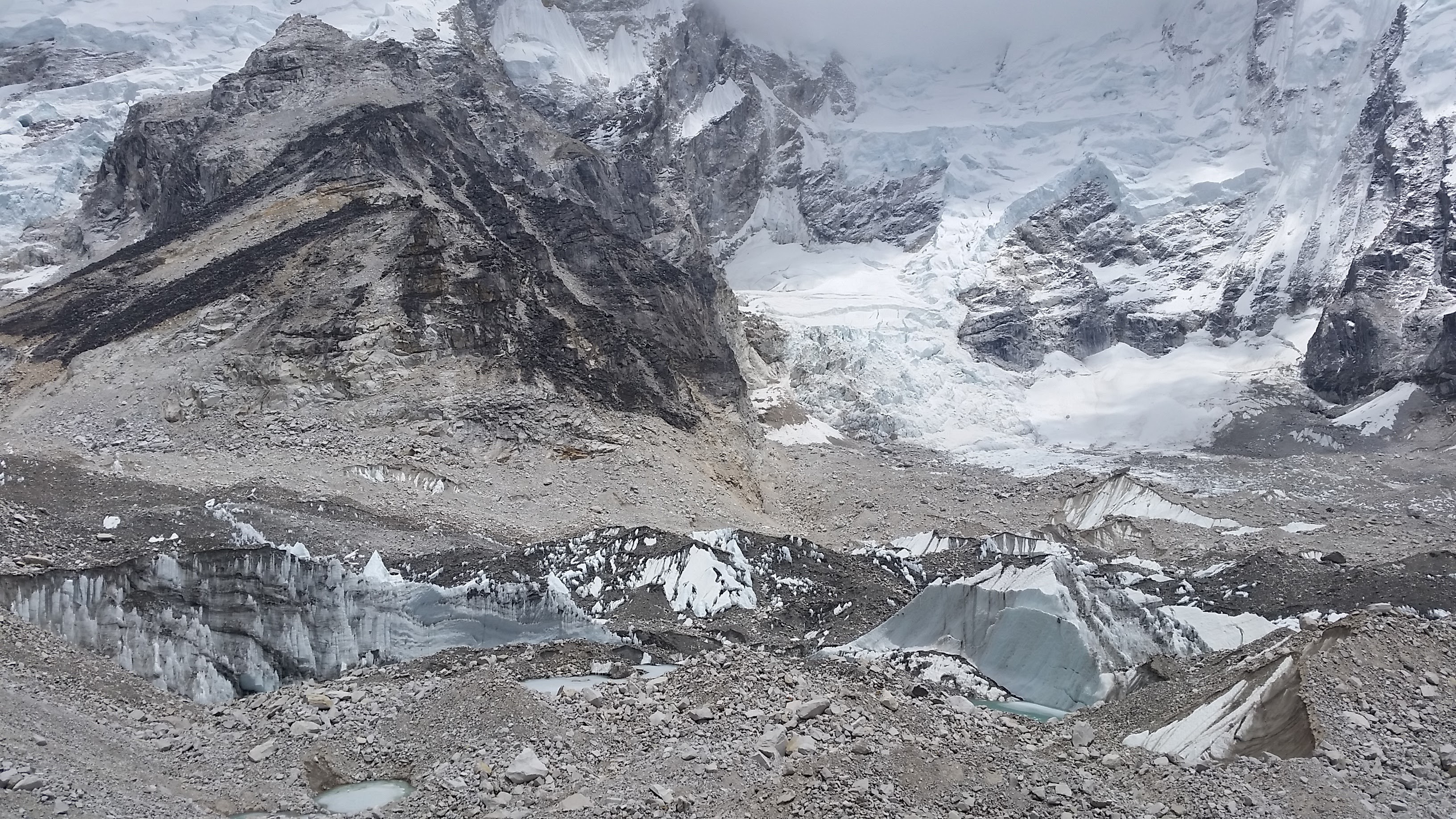
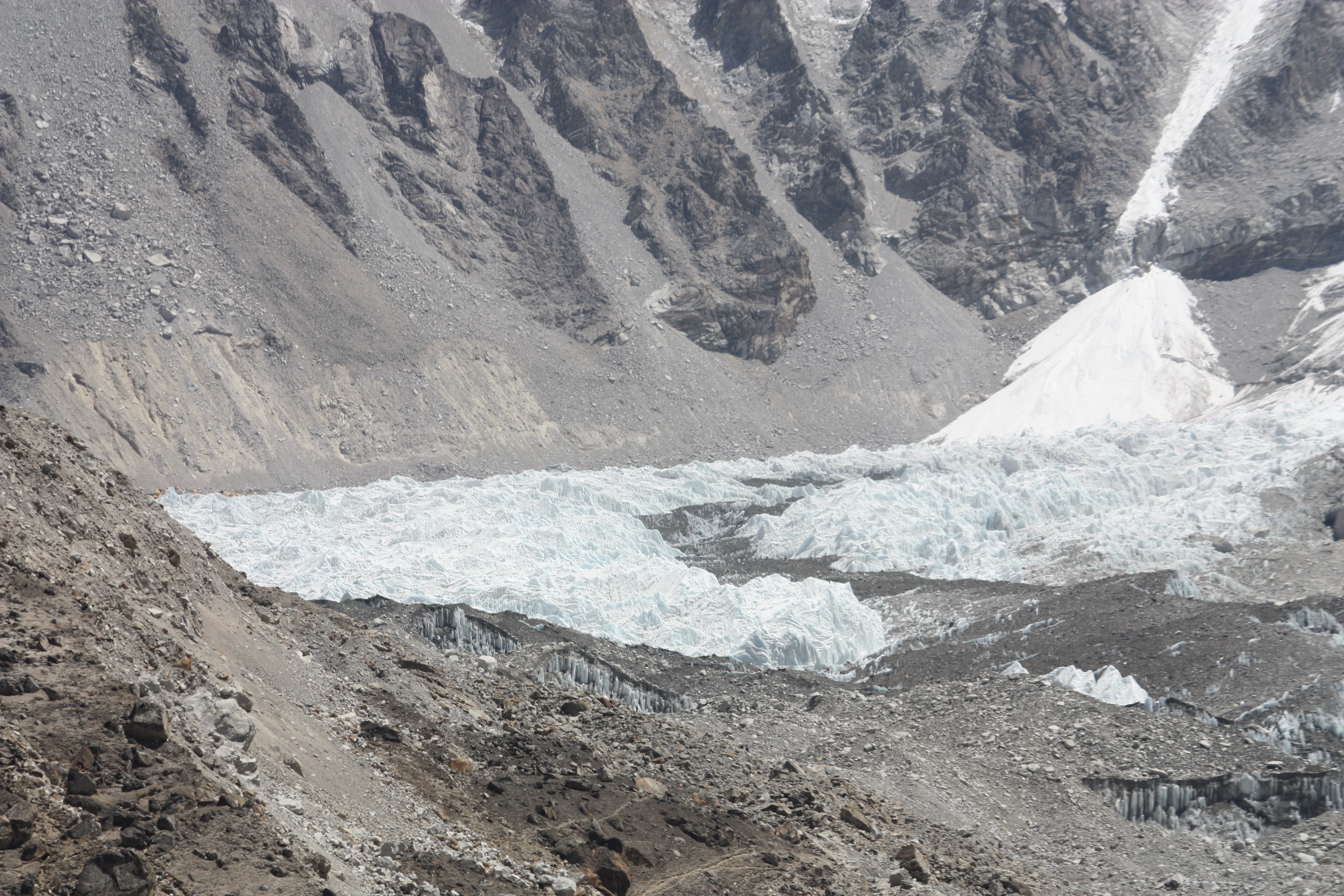
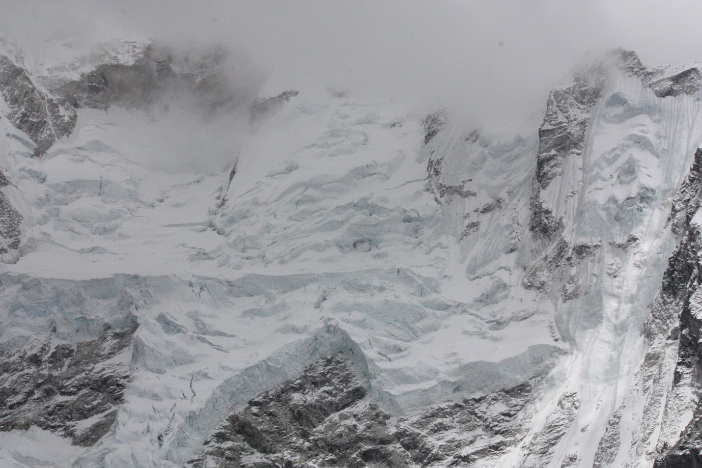
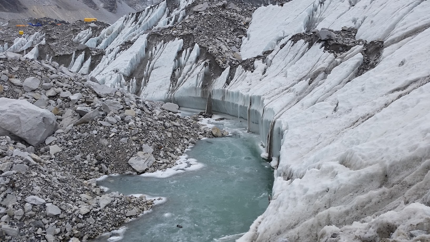
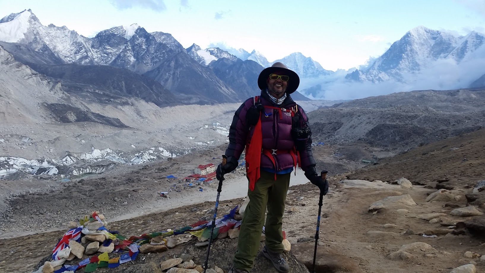
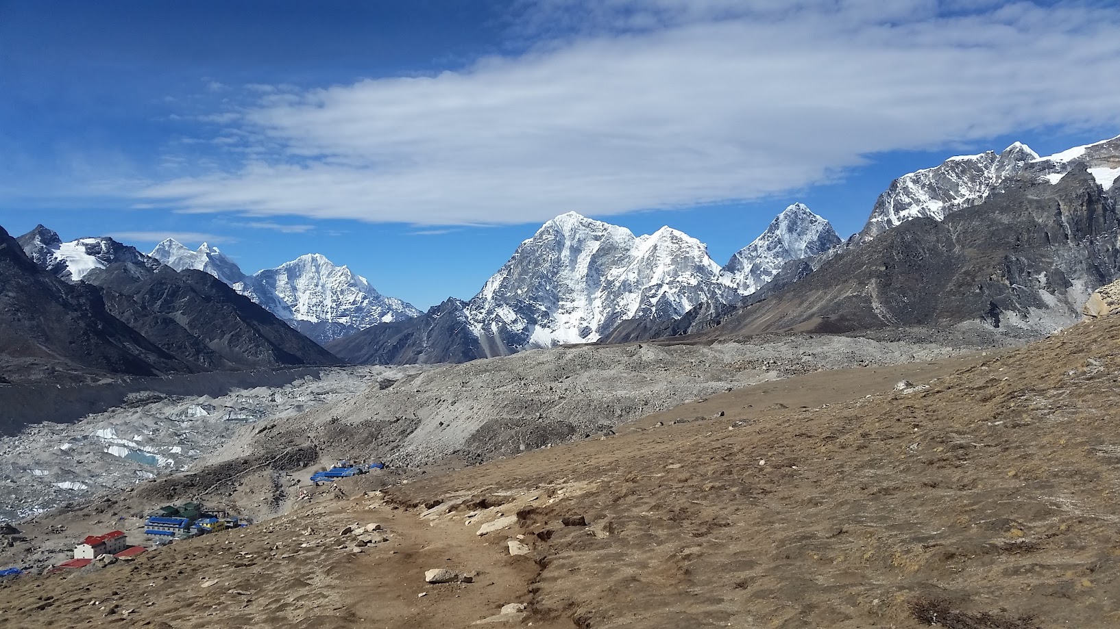
Samir and decided to climb a nearby hill in the afternoon to get some extra workout and capture some views. It started snowing again so the visibility became poor and we had come back quickly. We did catch a distant glimpse of the Khumbu glacier and Everest base camp.
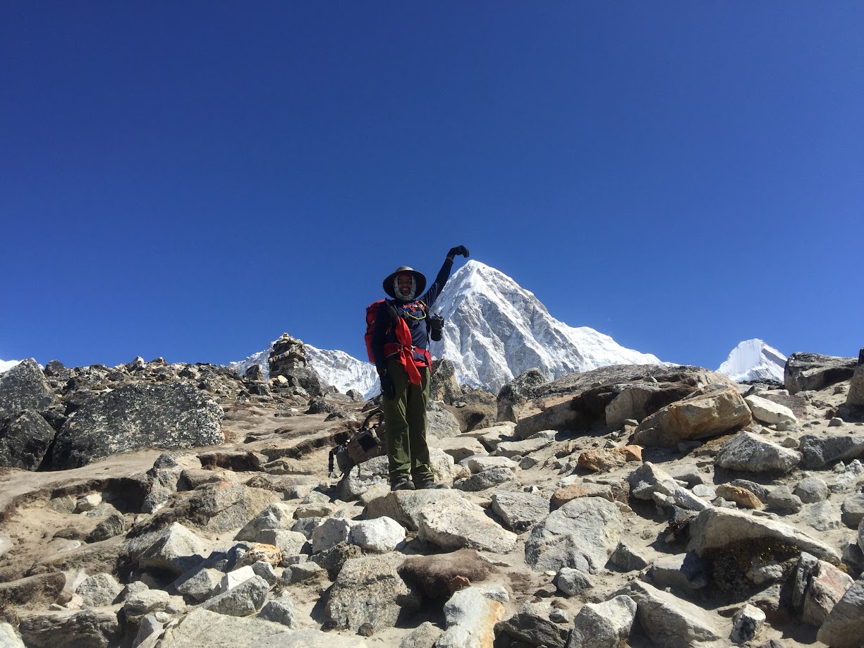
Day 8, May 16 2016:
- Start: Lobuche. Elevation 4,900m/ 16,077 ft. Time: 6:00am
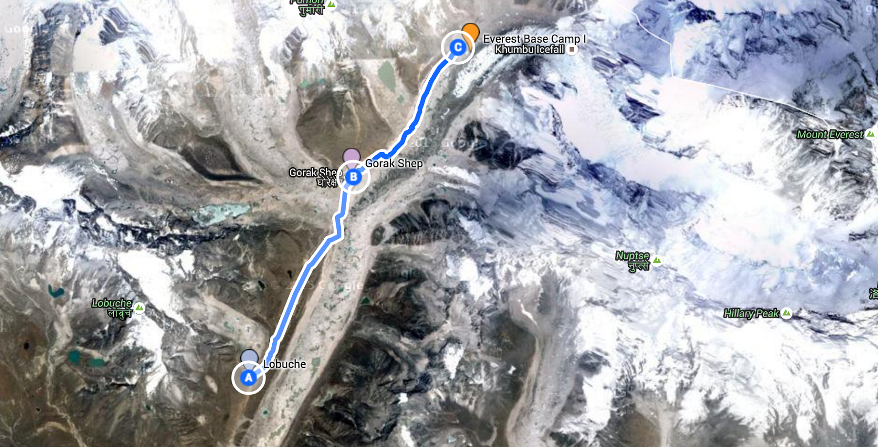
- Route: Lobuche->Gorak Shep->EBC->Gorak Shep
- Elevations: Gorak Shep (5,180m/ 16,995ft), Everest Base Camp (5,380m/ 17,600 ft)
- End: Time: 5:30pm
- Elevation gain: 480m / 1,574 ft
- Distance: 10 km (6.2 miles)
- Terrain: Gradual climb, rocky
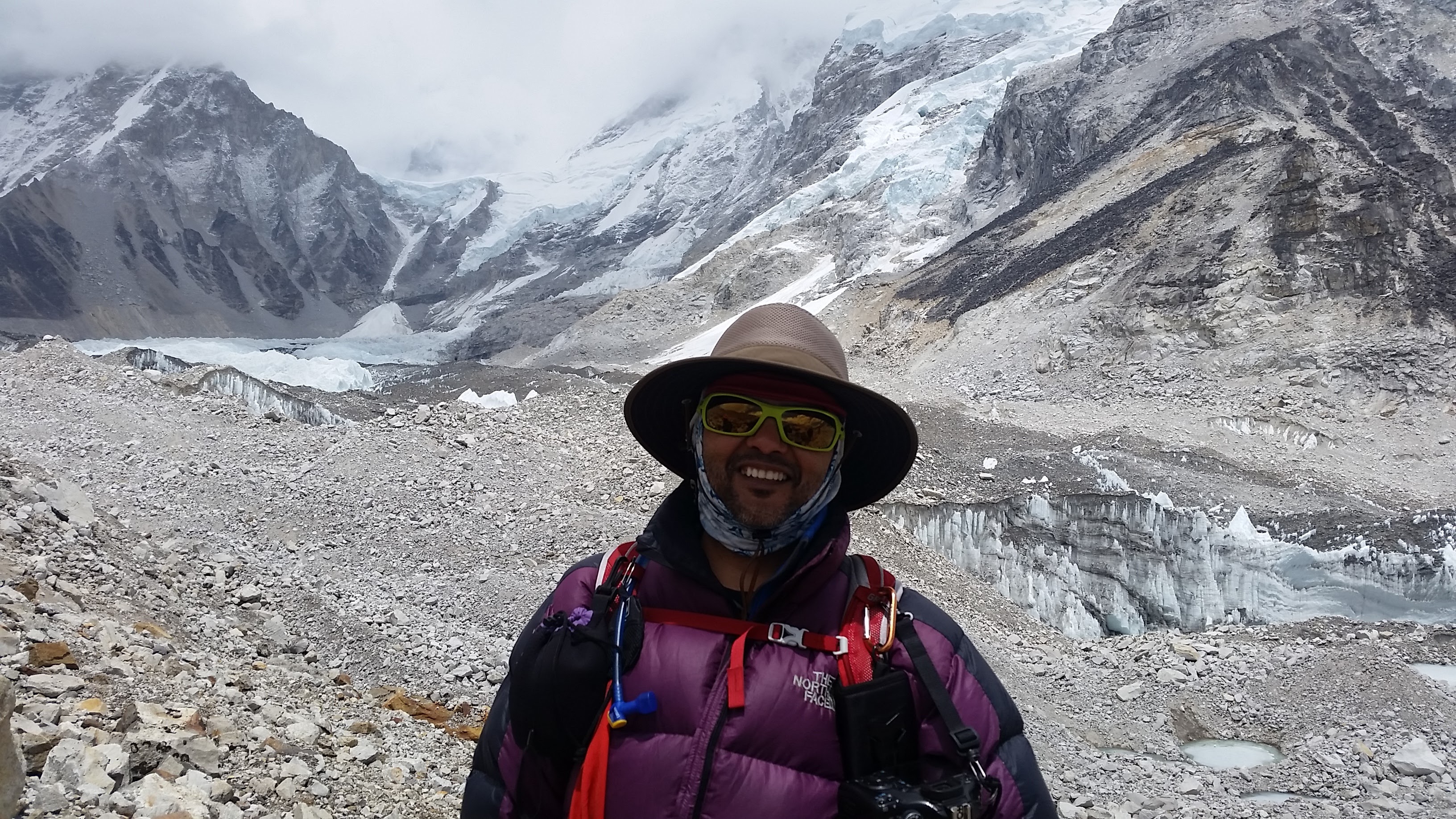
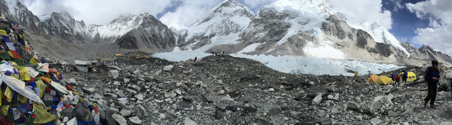
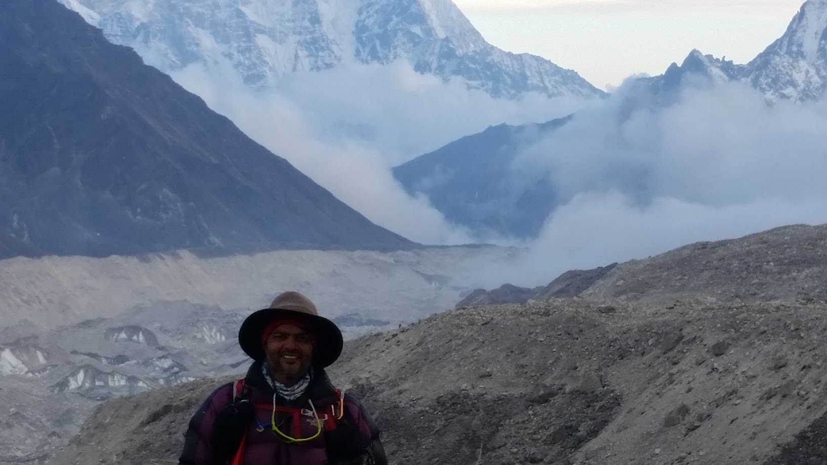
Today is the day! We got an early start and left at around 6am. The oxygen levels are getting lower and today promises to be a long day. We first go from Lobuche to Gorak Shep and then after a short rest, continue on to Everest Base Camp. By the time we reach EBC, the oxygen level is about 50% lower than normal! It was really cold and I had use my down jacket any snow gloves for the first time in this trek. For a while it felt like my fingers and toes will freeze but within an hour the weather warmed up and the jackets and gloves came off.
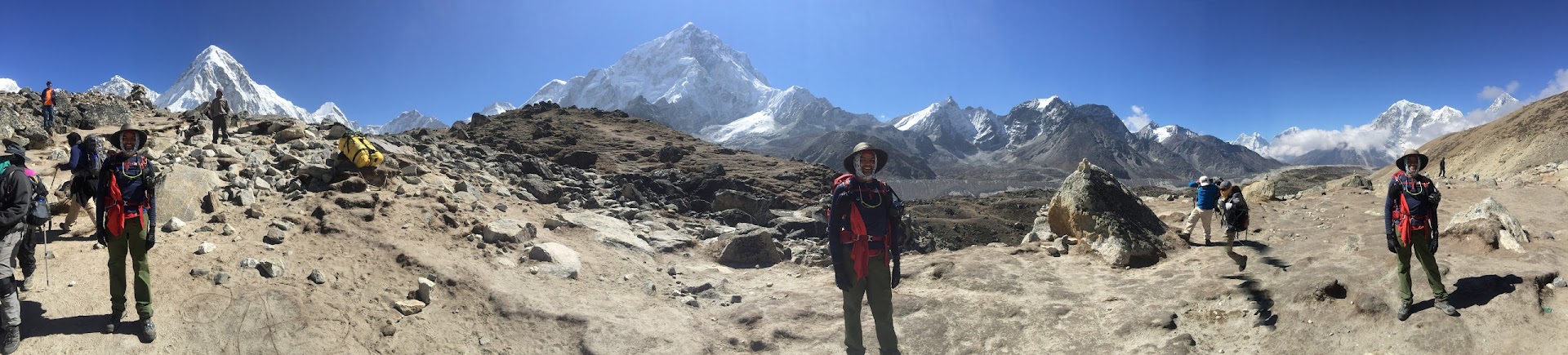
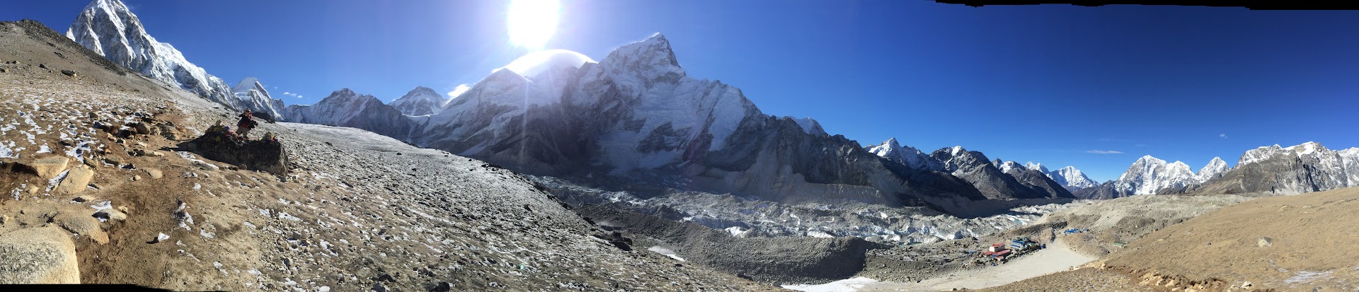
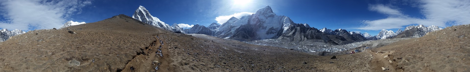
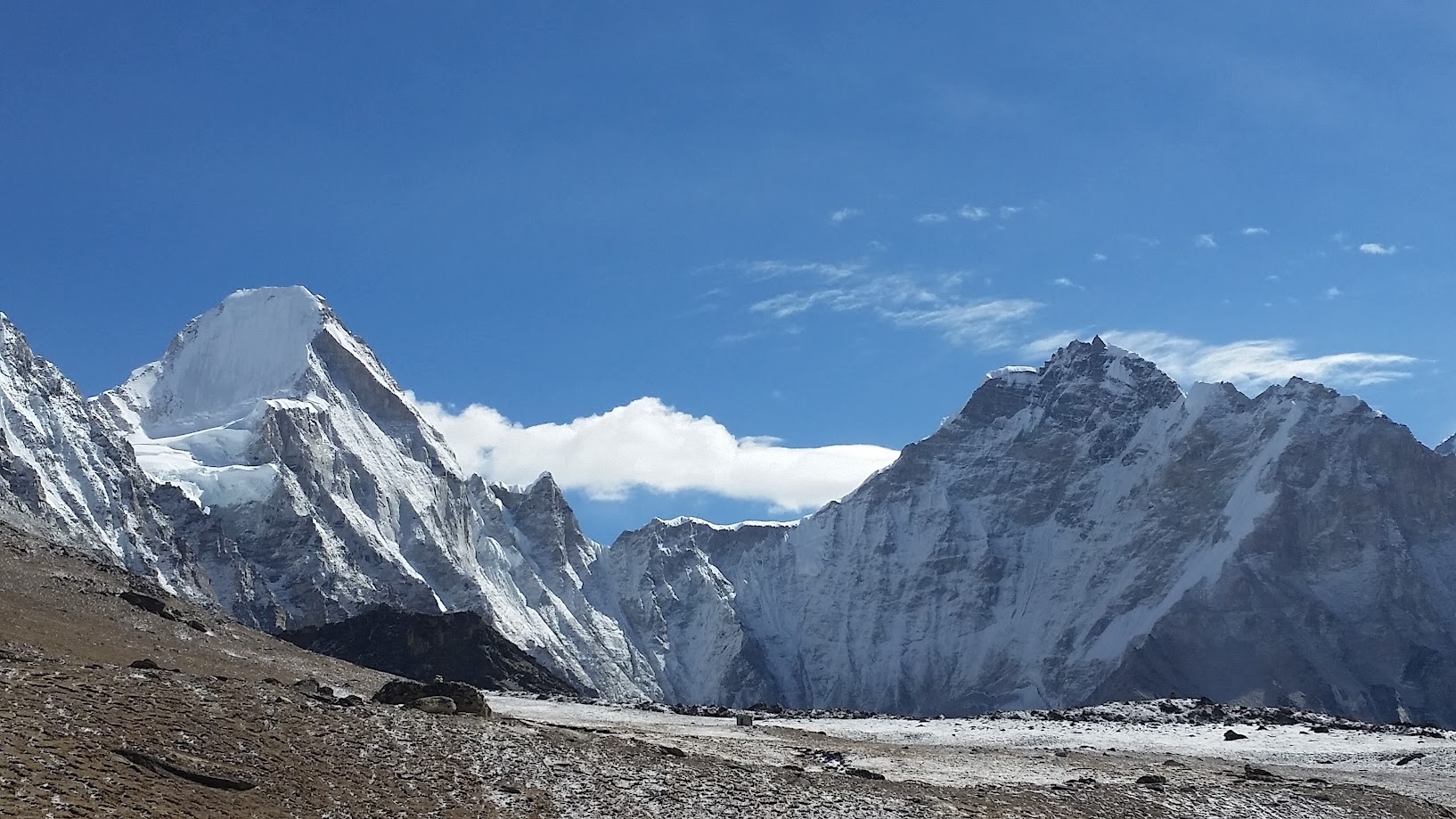
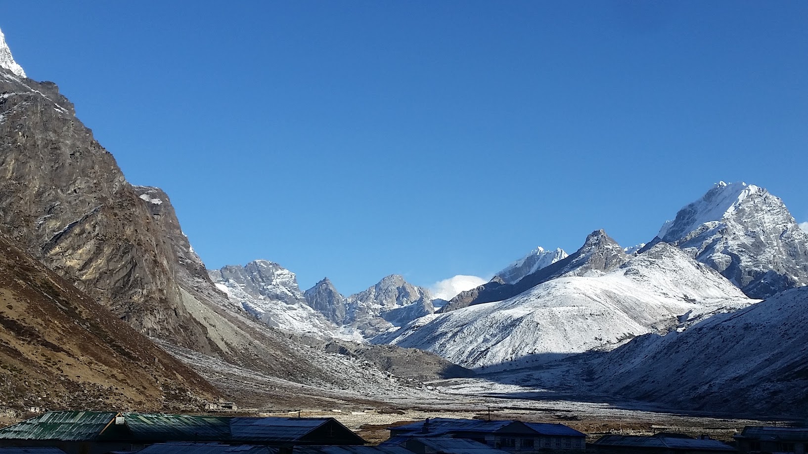
There was one plateau between Lobuche and Gorak Shep where we were surrounded by various peaks. It was just incredible.
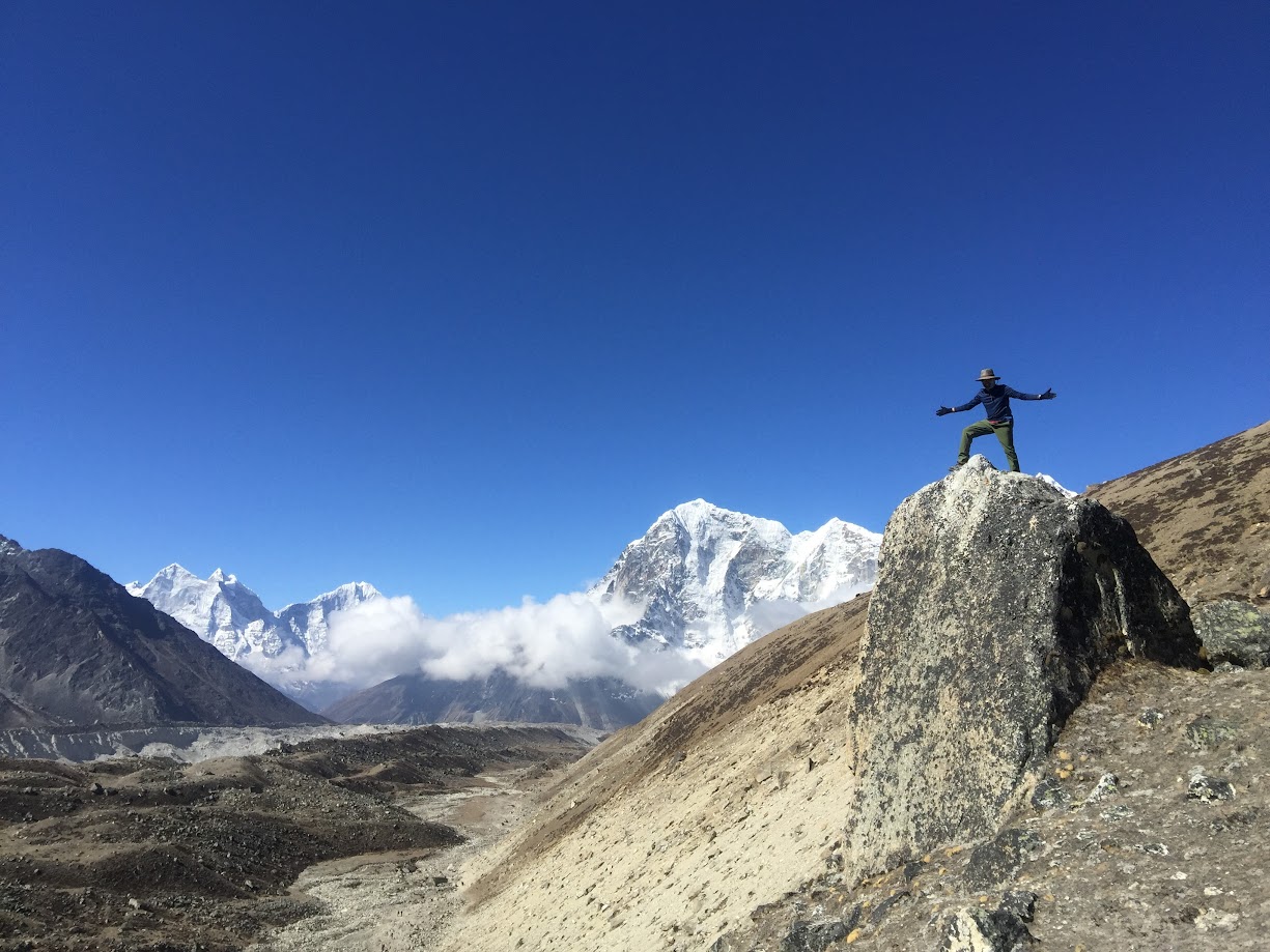
Yes – that’s three of me in the picture, in front of each of the three major peaks!
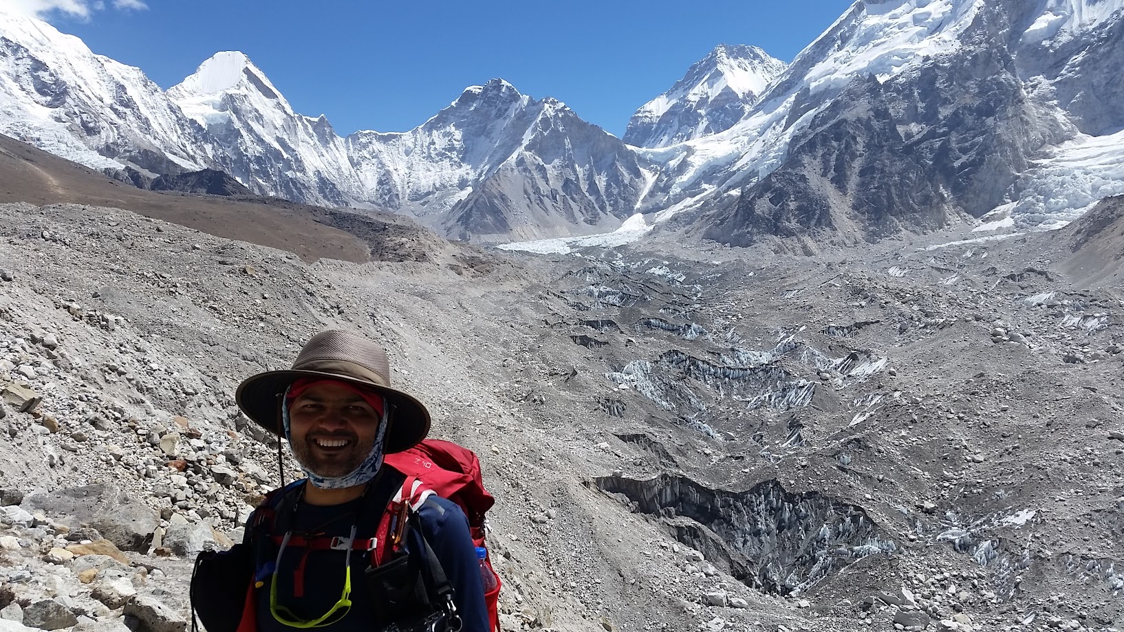
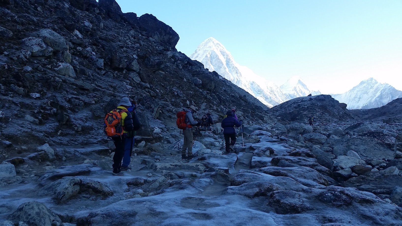
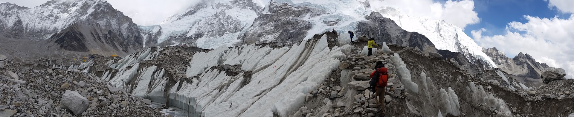
We finally reached Gorak Shep at around 10:30am. We had a quick breakfast there and then left for EBC around noon. The views kept getting better as we got closer to the some of the tallest peaks in the world! The terrain was not easy – unlike previous days, today often there was no clear trail. We had to climb over fallen rocks which was quite treacherous at times.
Almost there…
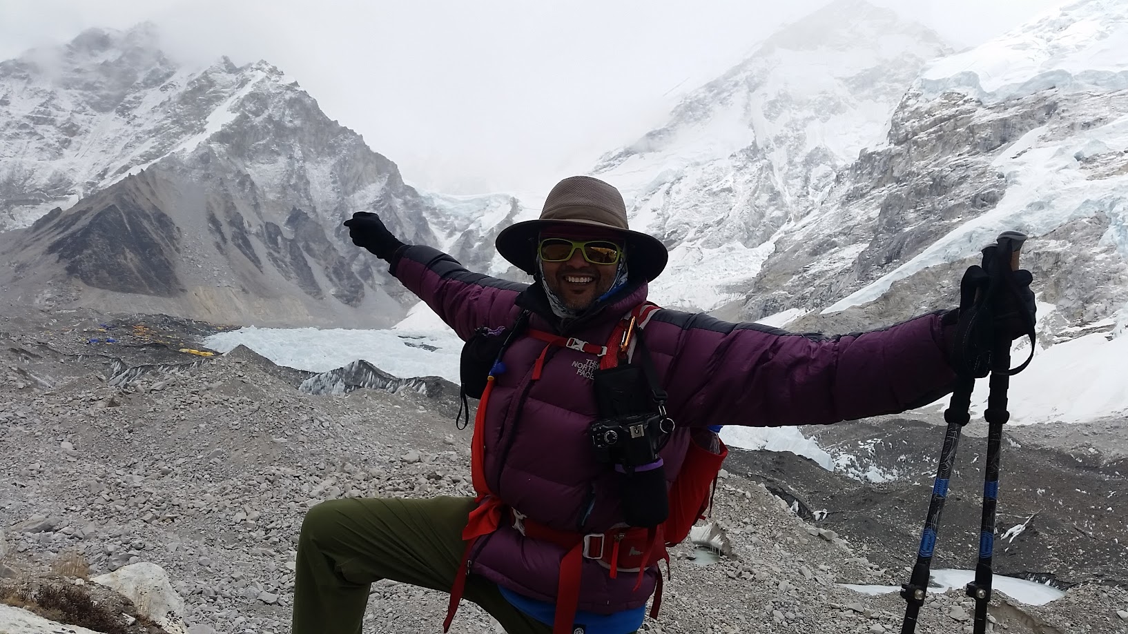
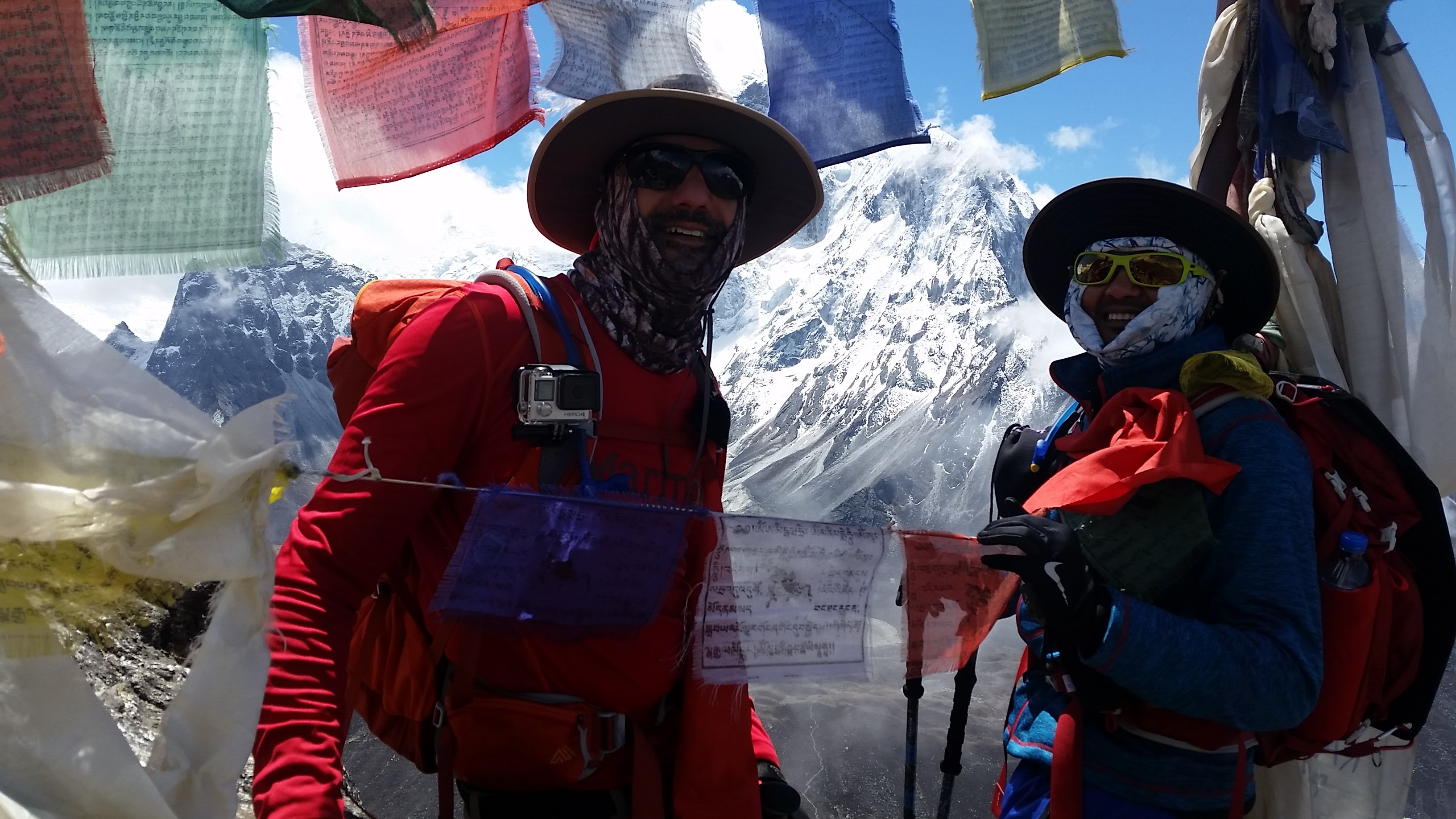
Monday, May 16, 2:28pm.
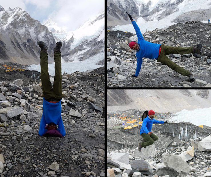
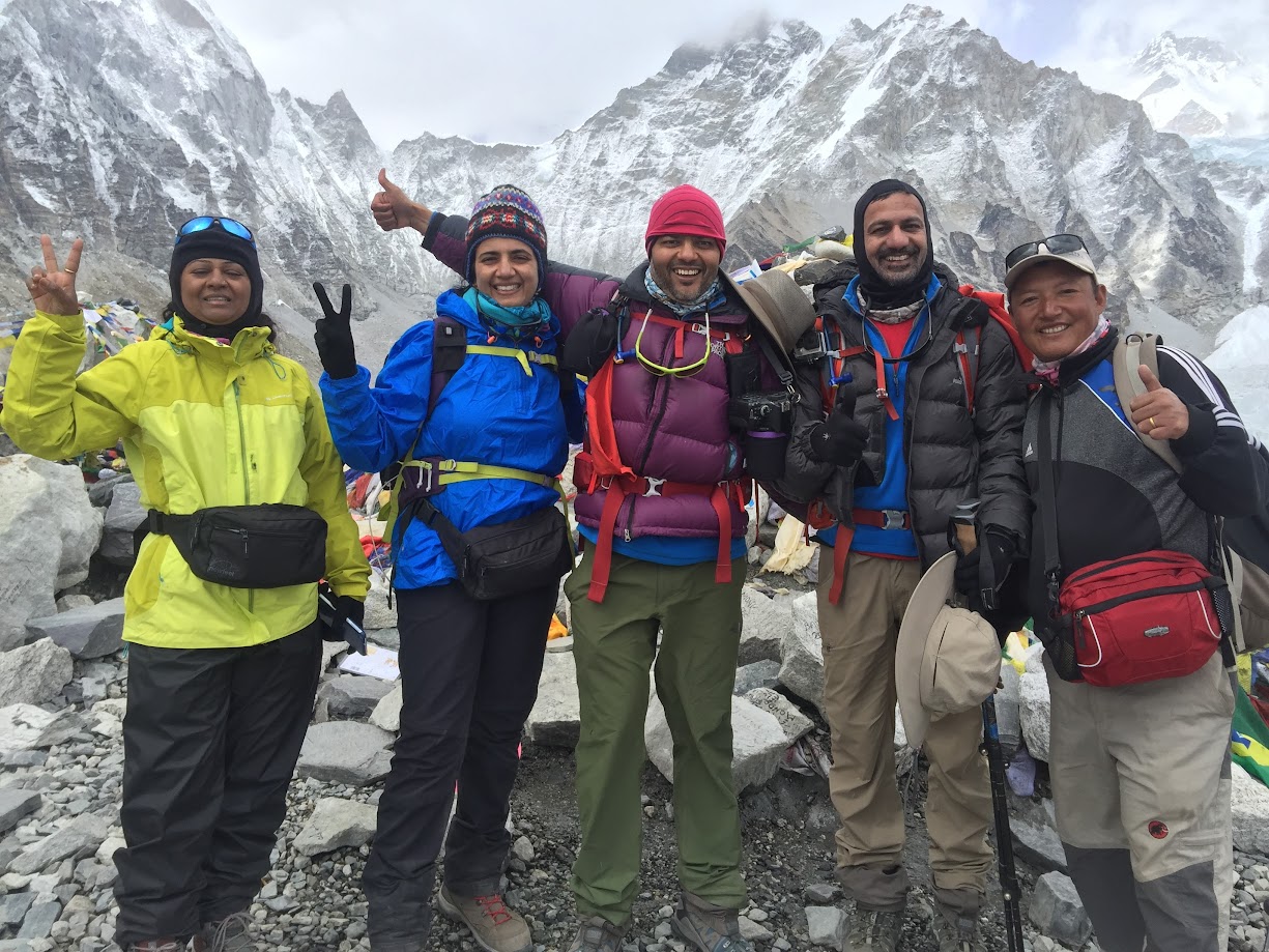
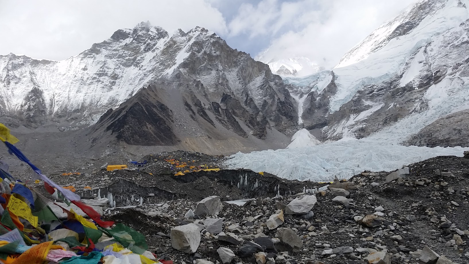
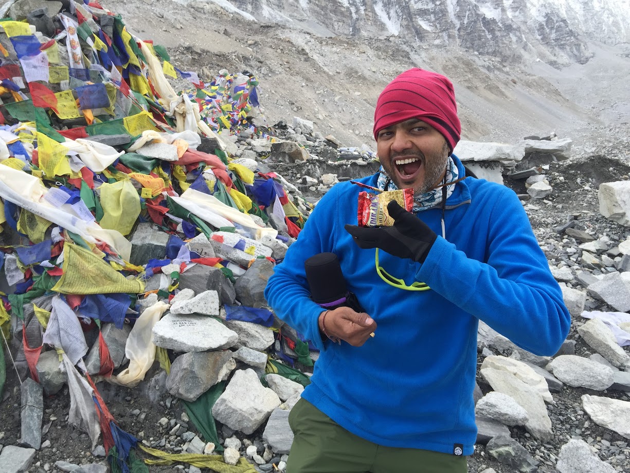
FINALLY we reach EBC! It has been a tough 8 days but it was well worth the effort. It is impossible to describe the feeling. I have not shaved or bathed in 8 days, have been walking for hours every day at altitudes I have never been to before, have braved cold, snow, wind, lack of sleep, lack of appetite, altitude sickness and many other hardships but suddenly I am not tired any more 🙂
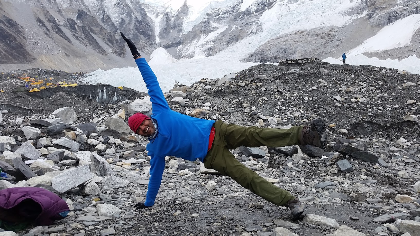
There are tents everywhere. We are in the middle of the climbing season so there are about 700 people living in tents at the base camp right now!
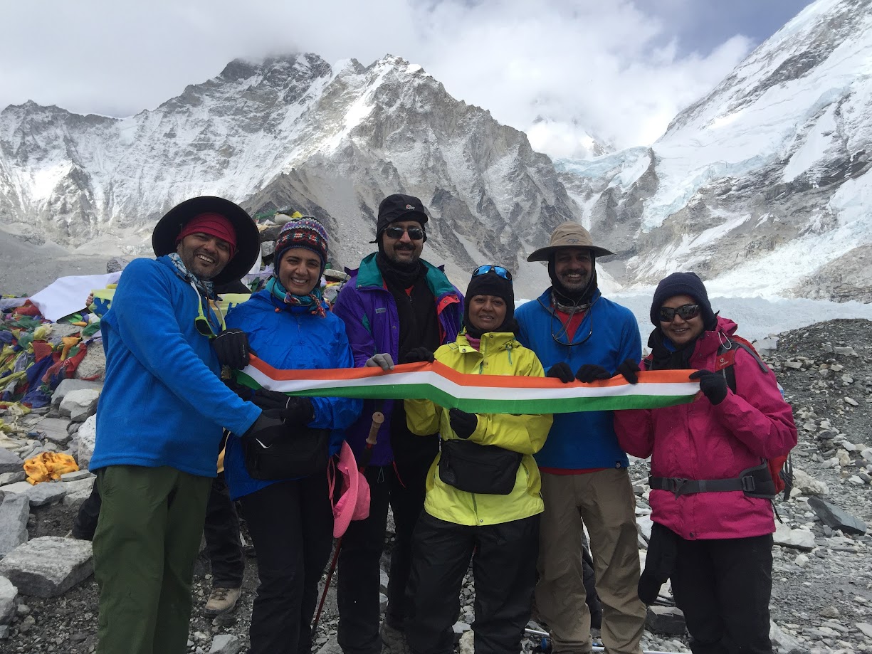
In front of prayer flags, with a tri-color ribbon representing Indian flag and eating Haldiram bhujiya! Yum 🙂
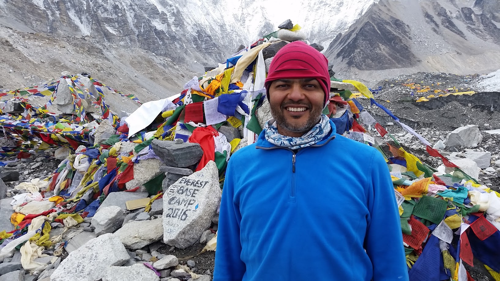
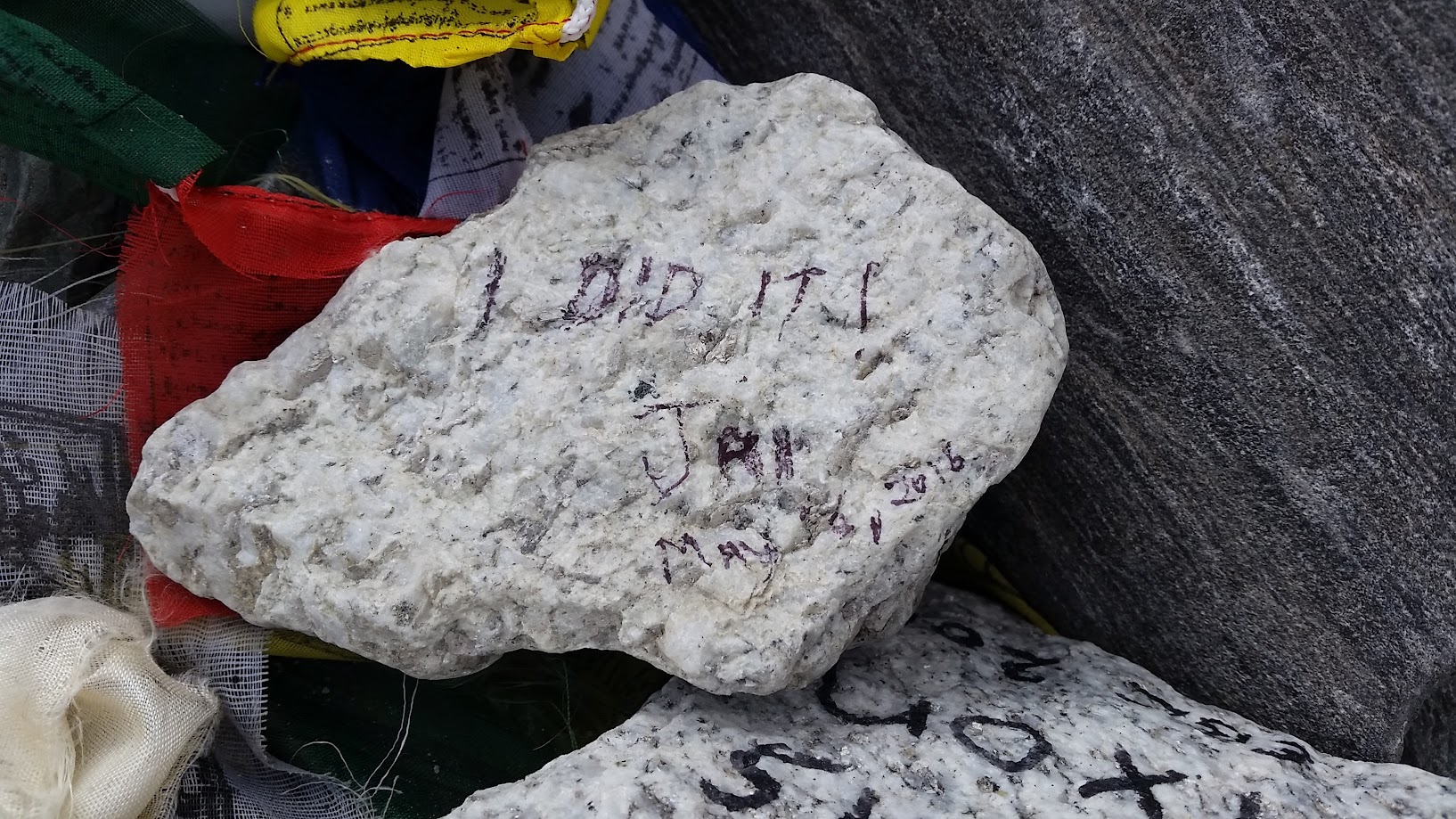
(1) I did it! Jai, May 16, 2016
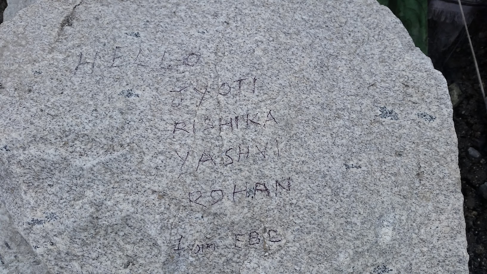
(2) Hello Jyoti, Rishika, Yashvi, Rohan from EBC
(3) Rohan
(4) Yashvi
(5) Rishika
This was definitely not a small step but a truly giant leap for me! And no, I am not tired 🙂
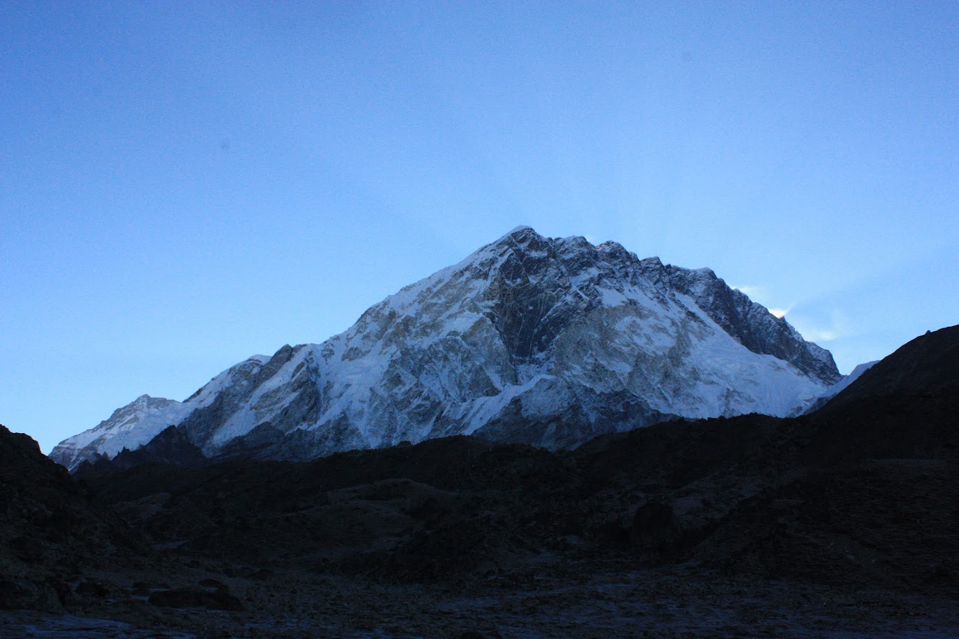
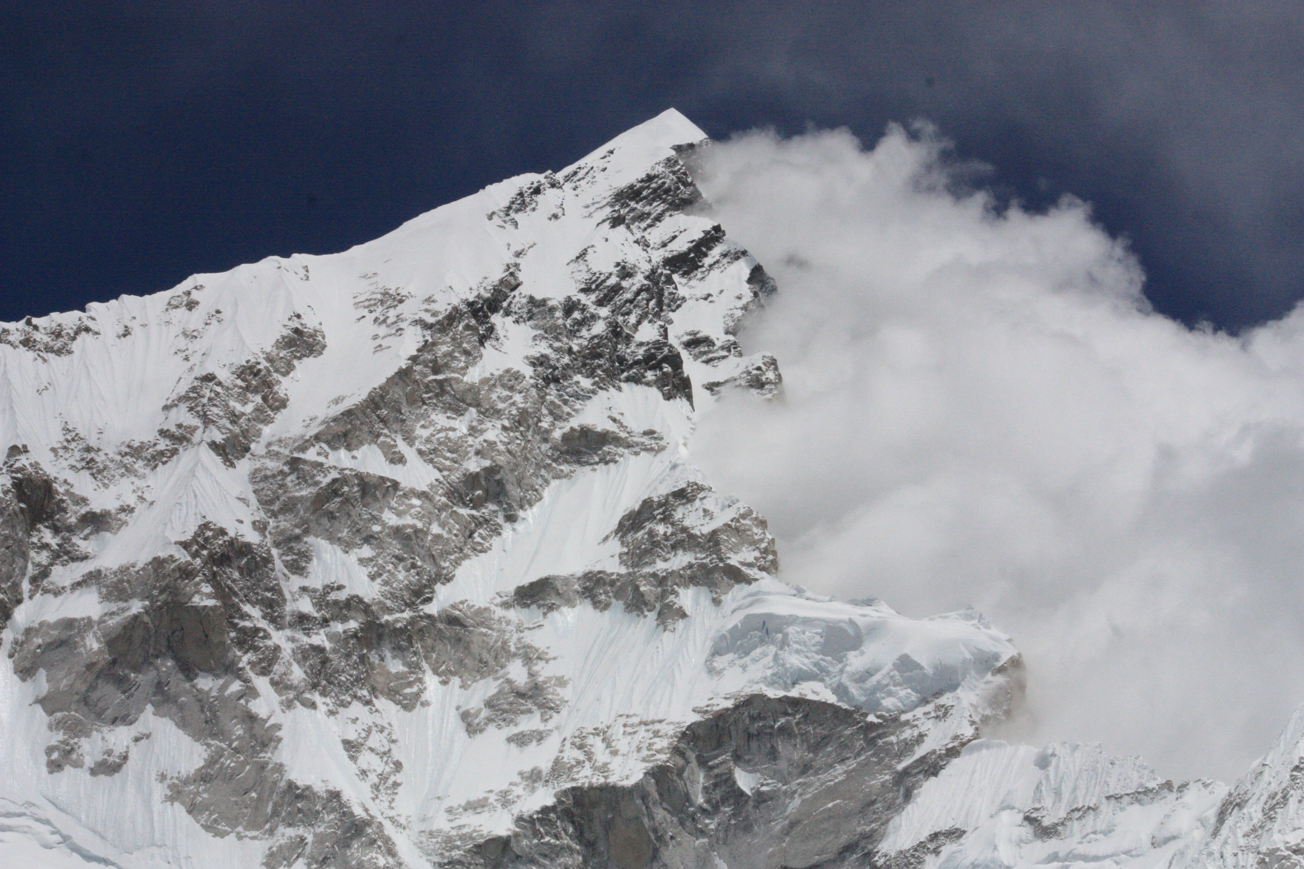
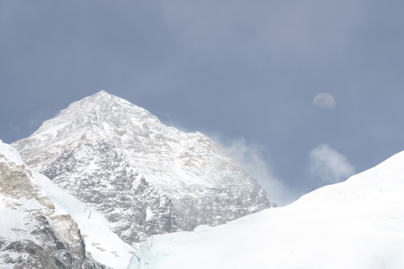
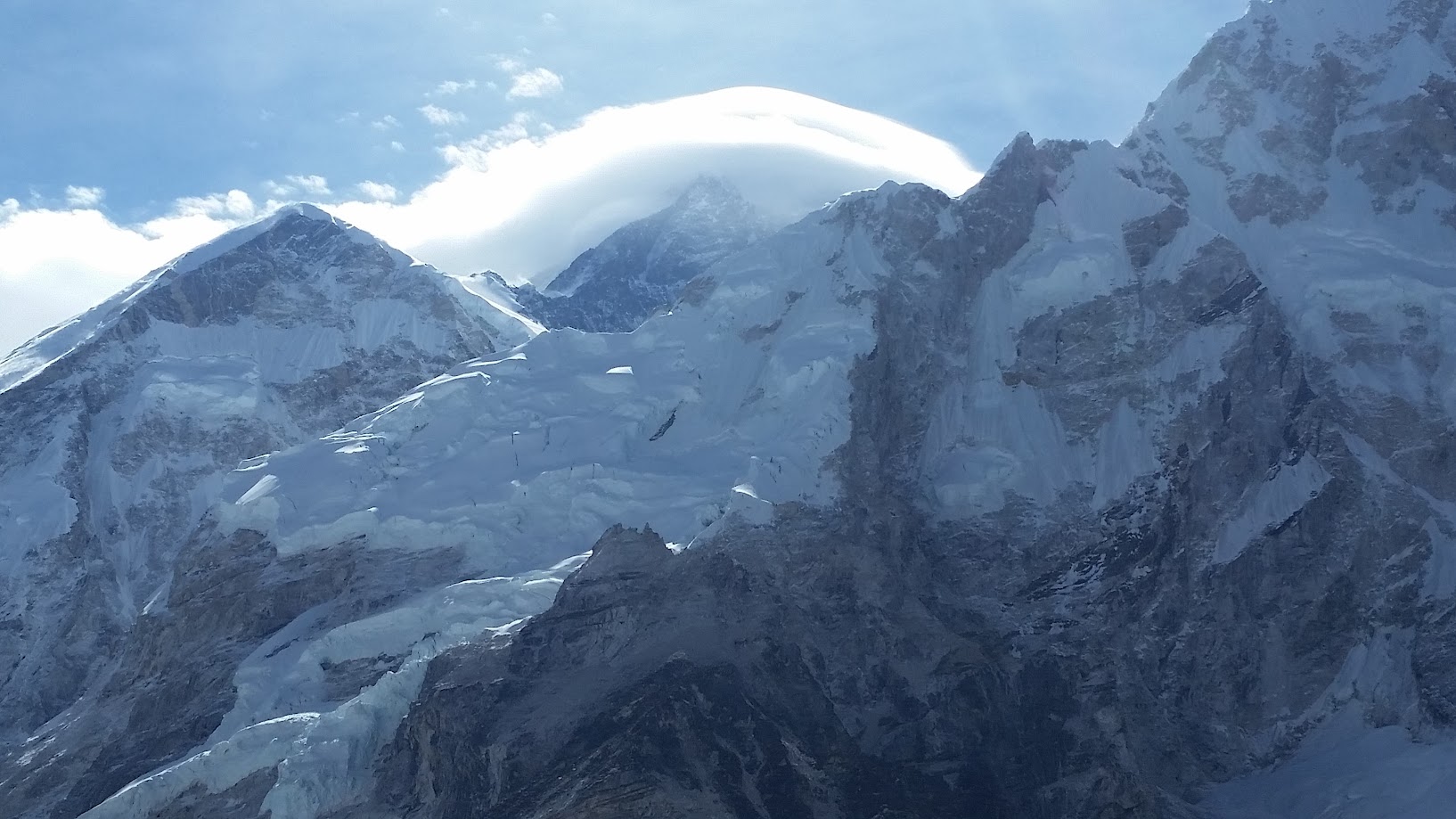
On the way back from EBC we saw a beautiful view of Everest with the moon next to it. It was surreal. You can also clearly see the Hillary step
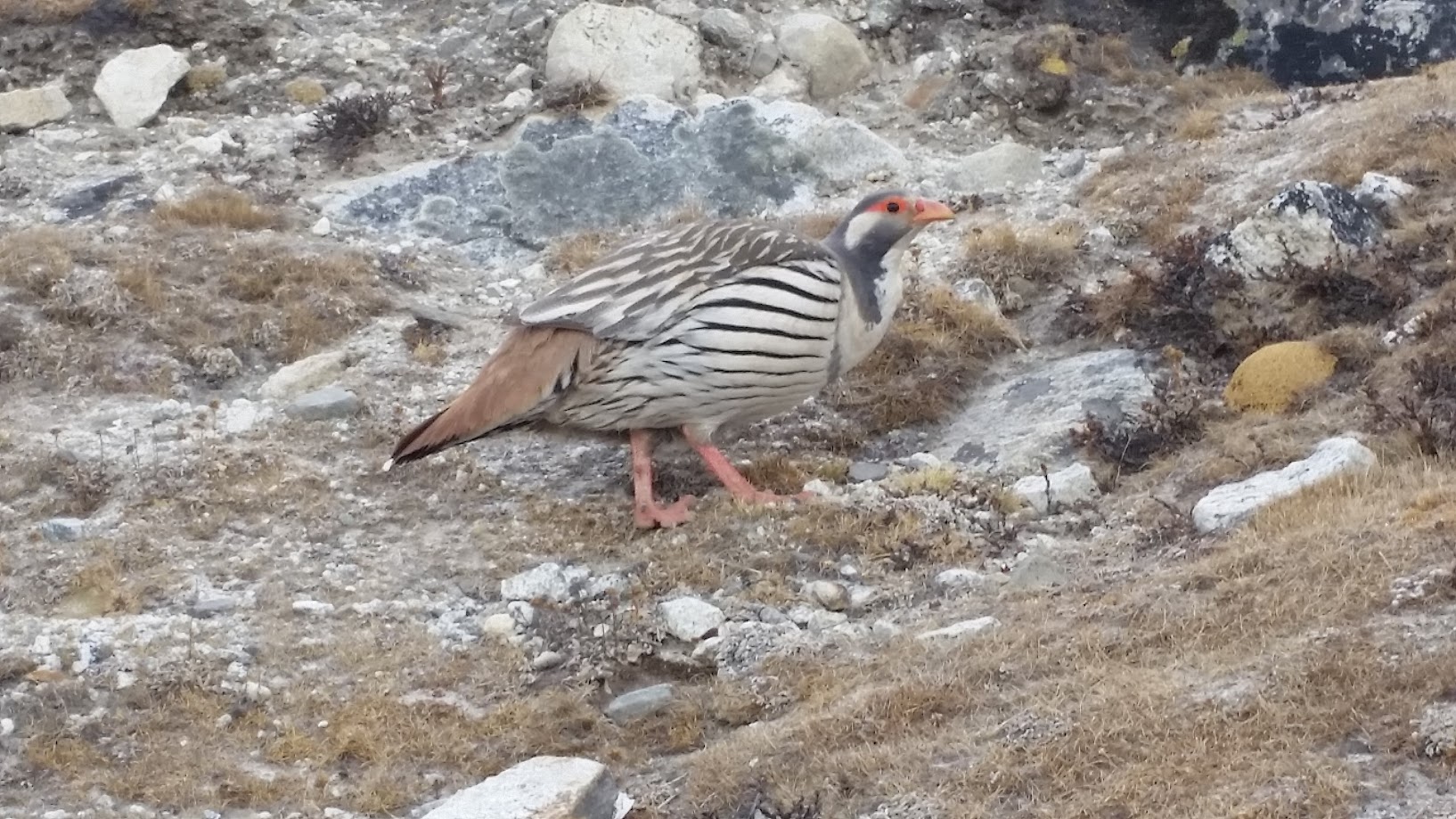
Chukar bird
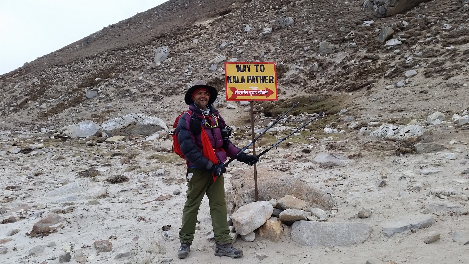
I got back to Gorak Shep at around 5:30pm and despite being tired from nearly 12 hours of trekking, decided to go up the Kalapatthar mountain in the hope of catching some sunset views. I only went halfway. Unfortunately it got cloudy soon and the sun was no longer visible. So I decided to climb down rather than waiting for the sunset. I did capture some gorgeous shots of the surrounding mountains though.
A little science experiment on the change in air pressure with altitude. This mouthwash bottle was last opened at an altitude of 500m lower than Gorak Shep. Watch what happens when Vikas opens the bottle now.
Day 9, May 17 2016:
- Start: Gorak Shep. Elevation 5,180m/ 16,995ft. Time: 8:30am
- End: Pheriche. Elevation 4,200m/ 13,780 ft. 3pm
- Elevation loss: ~1,000m / 3,280 ft
- Distance: 18 km (11.2 miles)
- Terrain: Mostly downhill with some uphill climbs mixed in
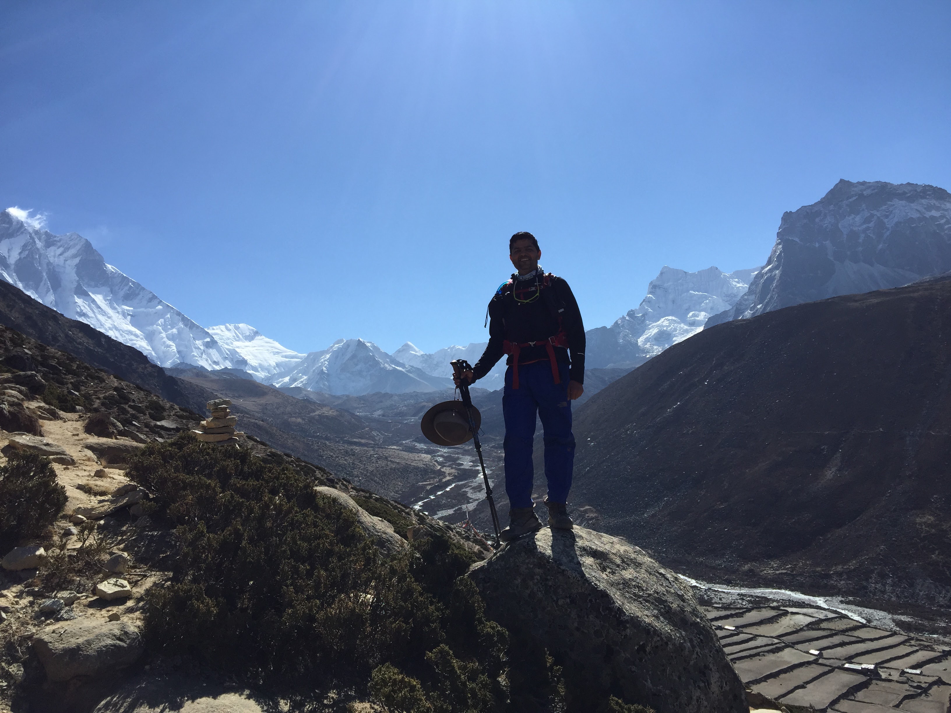
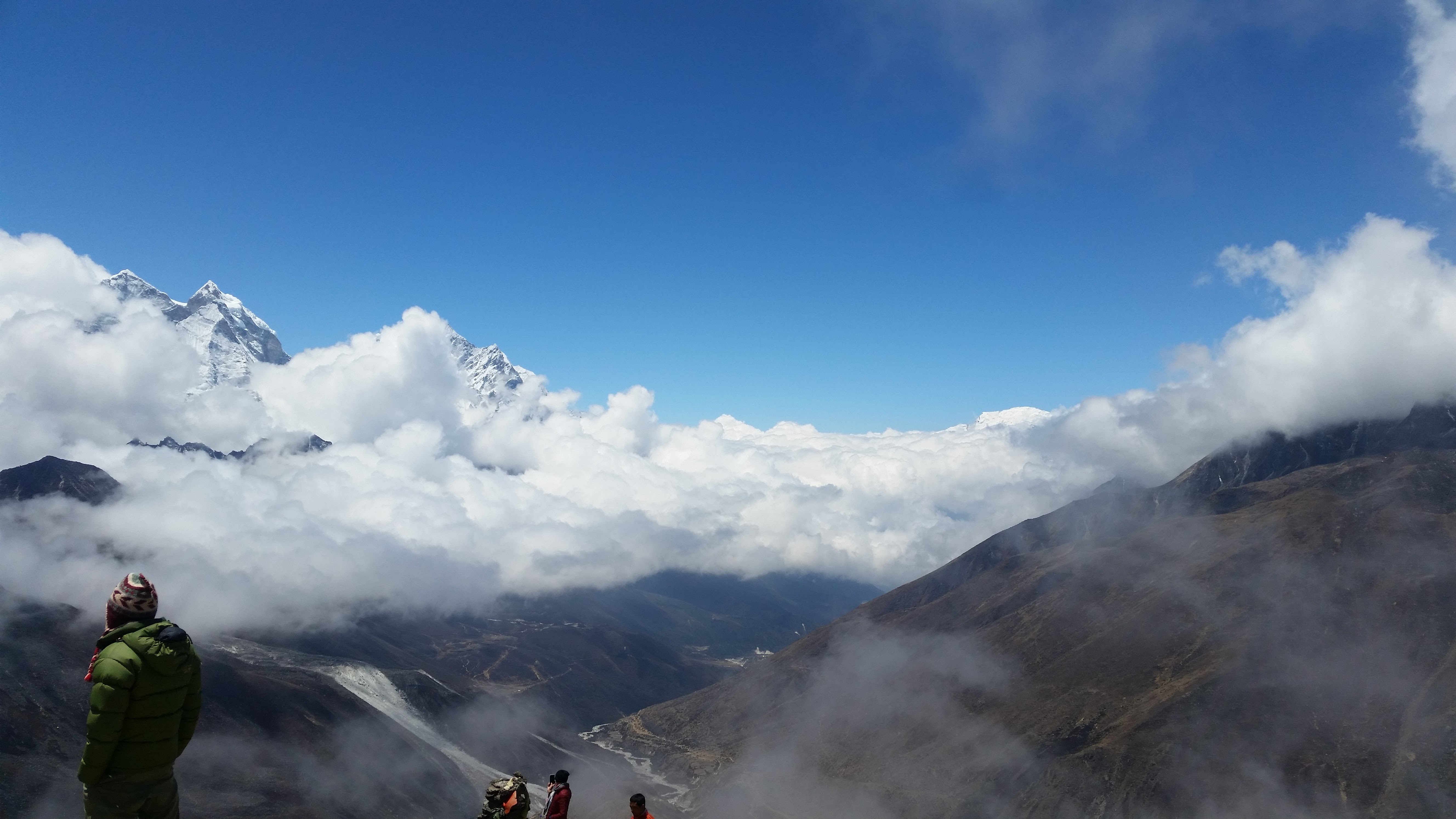
We spent the night in Gorak Shep and are now ready to return. Some in the group had decided to climb Kalapatthar this morning before heading back. Since I had already done that the previous evening, I initially decided to opt out but then ended up joining them anyways 🙂 Here are some morning views from Kalapatthar.
The return route was different.. we came back via Pheriche rather than Dingboche
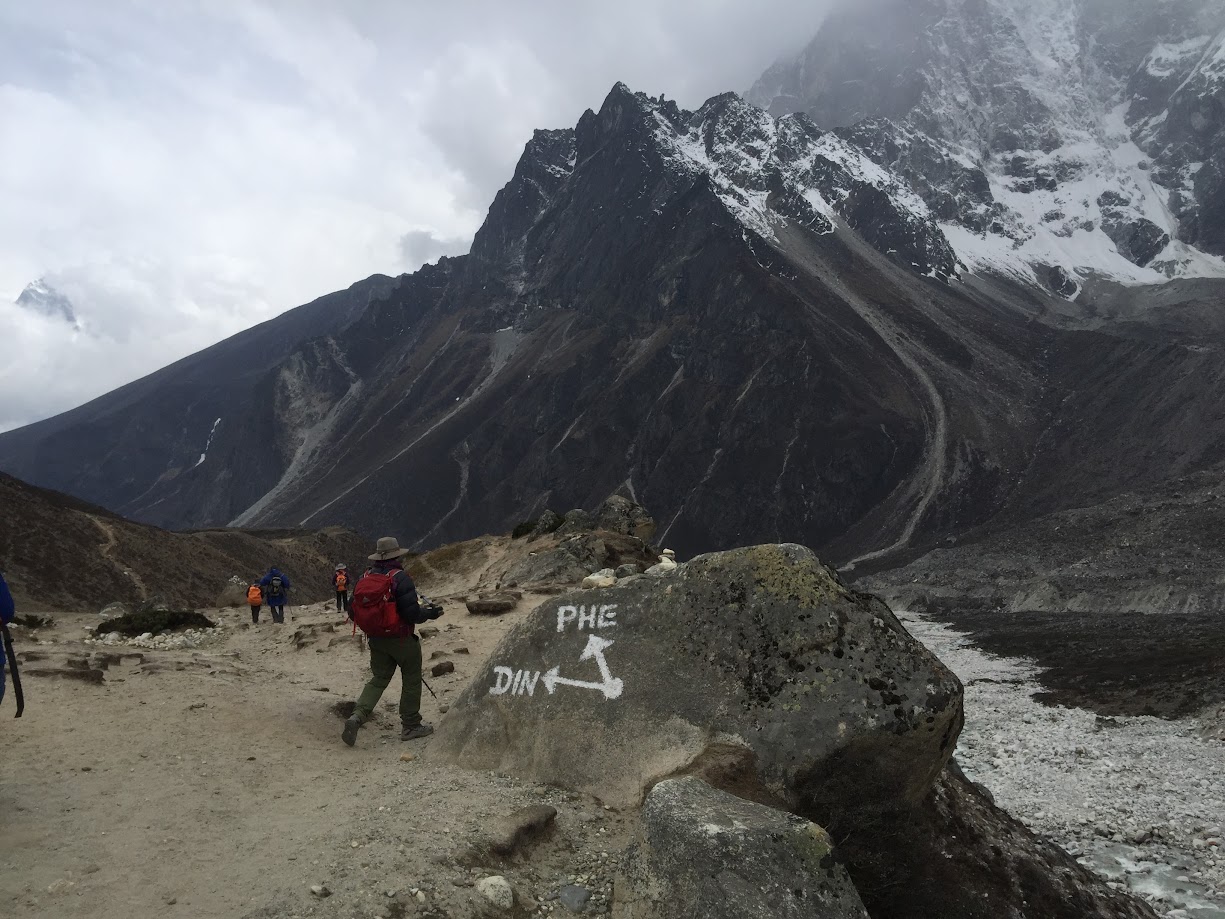
We stopped for lunch at Thukla on the way to Pheriche and then reached Pheriche at around 3pm. Original plan was to spend the night at Thukla but we decided to trek all the way to Pheriche. We kept at a higher return pace for the rest of the return journey and completed it in 2.5 days instead of 4.5 days.
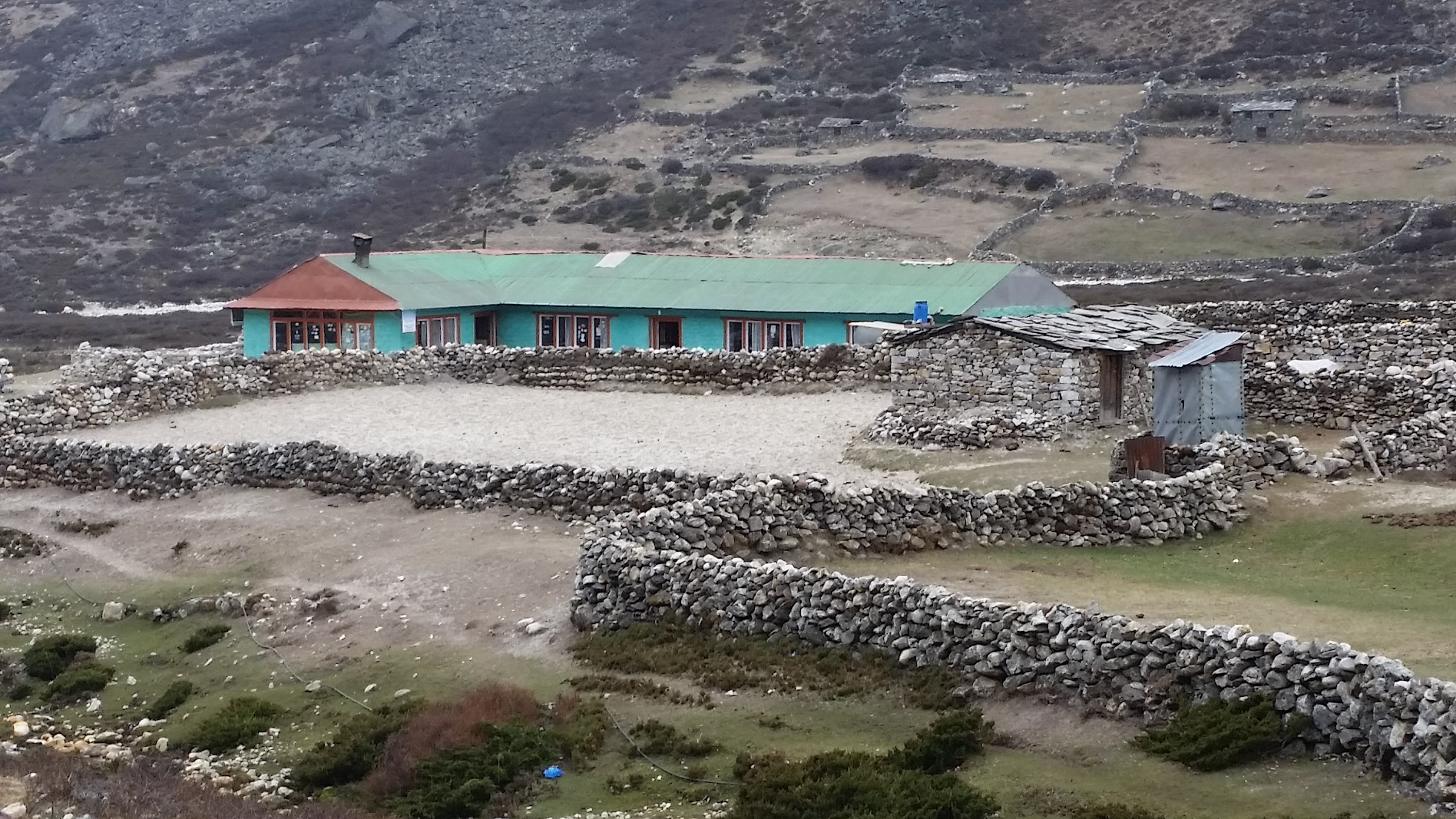
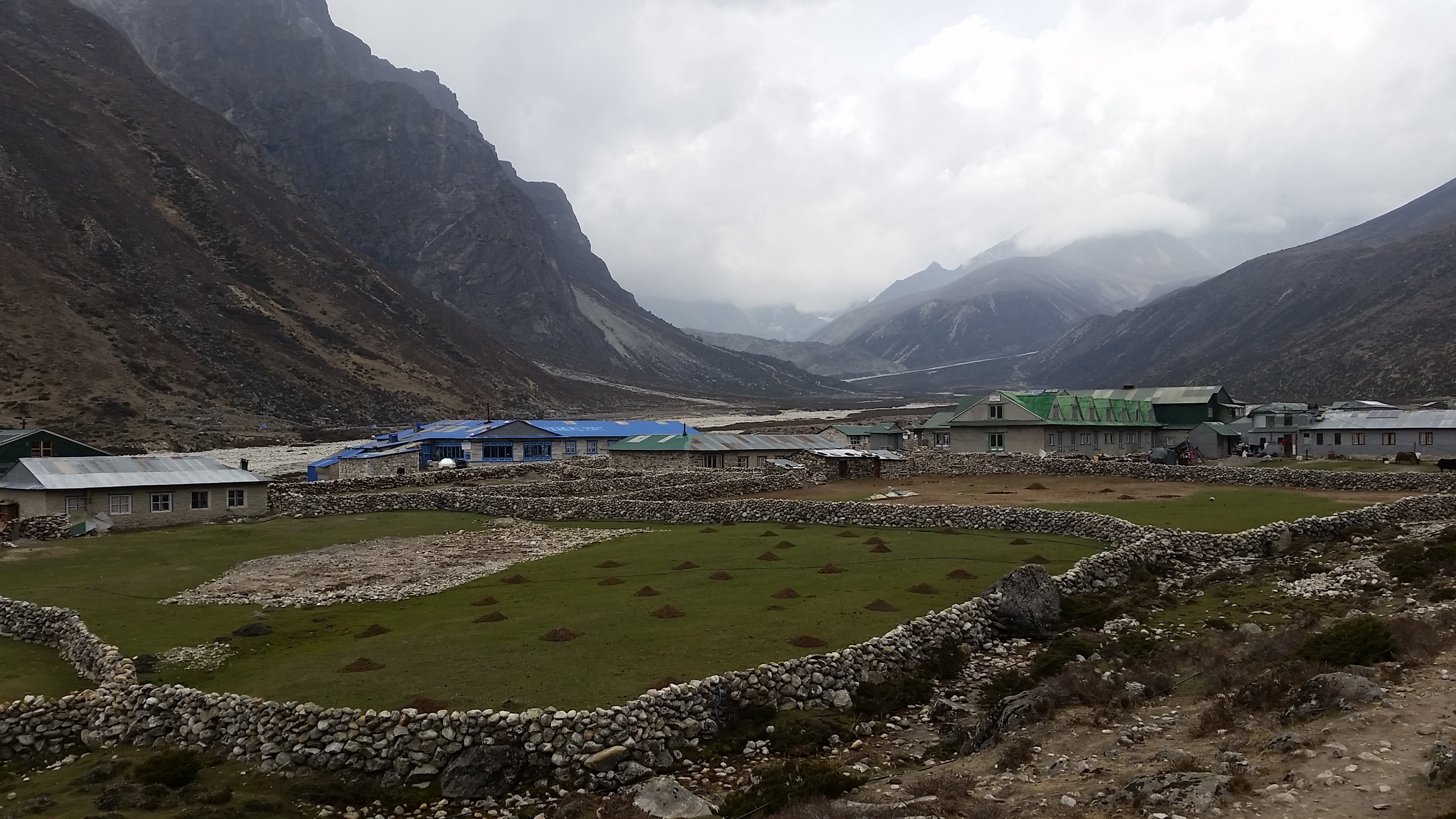
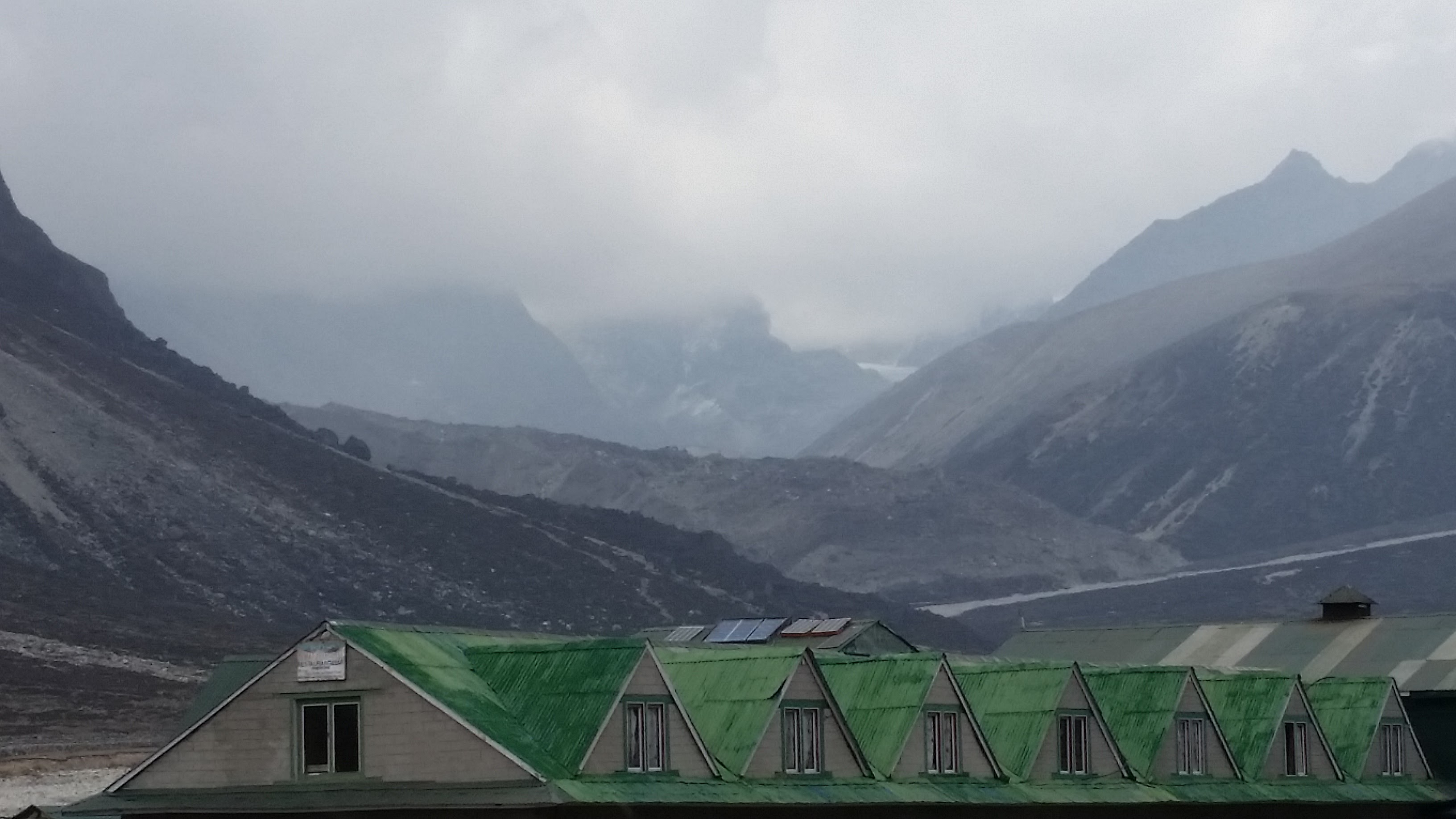
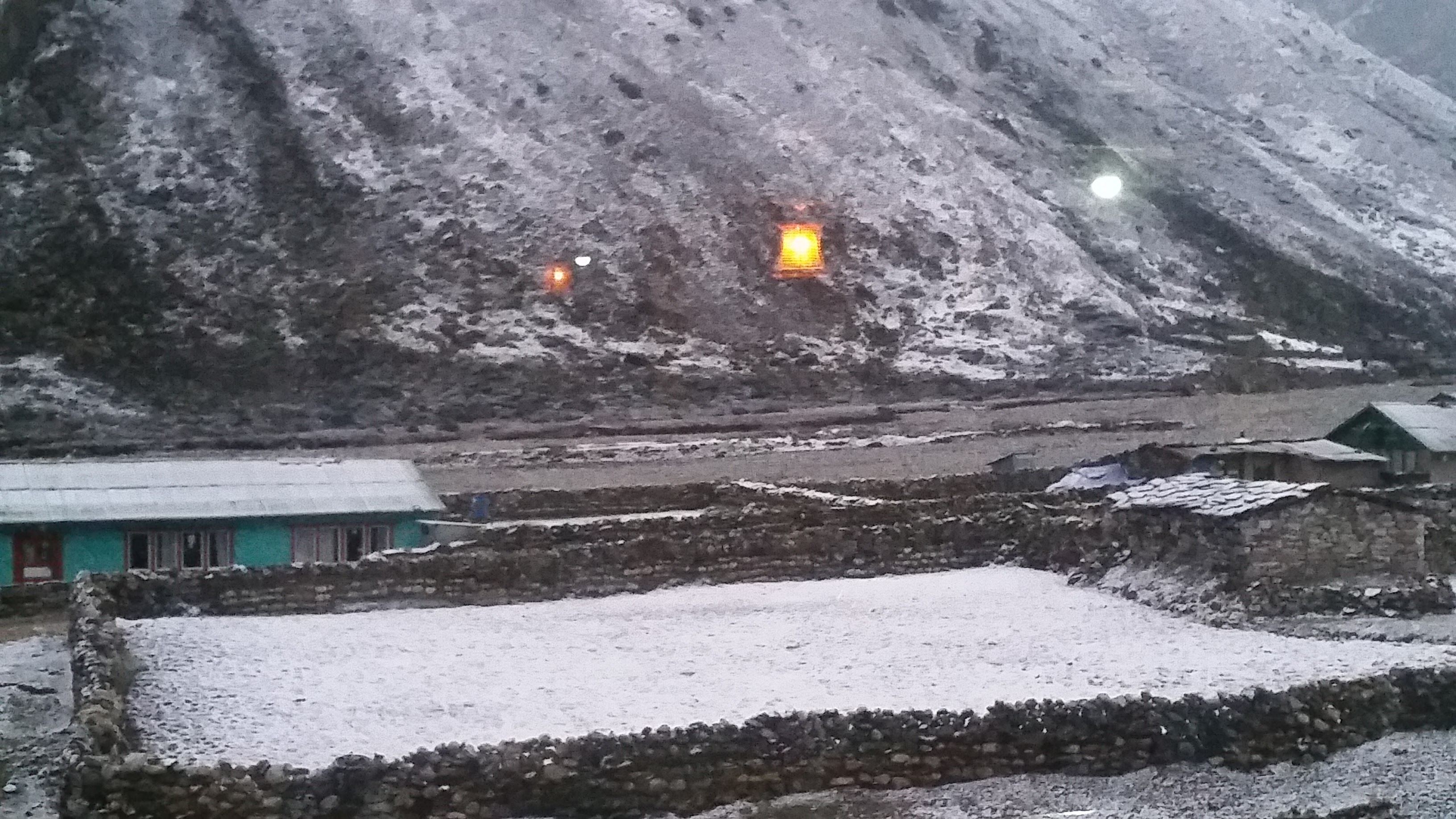
Our lodge at Pheriche was quite beautiful. Pheriche is situated in a very scenic valley. Here are some pictures of our lodge and the surrounding area. It started snowing heavily in the evening and the ground was covered with snow. We were afraid that the going will be tough the next morning but the snow had melted away by then. It was beautiful to see a snowfall in the middle of May!
Day 10, May 18 2016:
- Start: Pheriche. Elevation 4,200m/ 13,780 ft. Time: 6:00am
- End: Namche Bazar. Elevation 3,340m/ 11,286ft. 3:30pm
- Elevation loss: ~1,000m / 3,280 ft
- Distance: 22km (13.7 miles)
- Terrain: Mostly downhill with some uphill climbs mixed in
Our group of 14 had gotten split up after Gorak Shep. Vikas, Samir, Anu, Sahil and I were together at Pheriche. Four others were in Tengboche. The nine of us decided to meet at Namche Bazar today evening. It was a long walk for us but we made it rather easily.
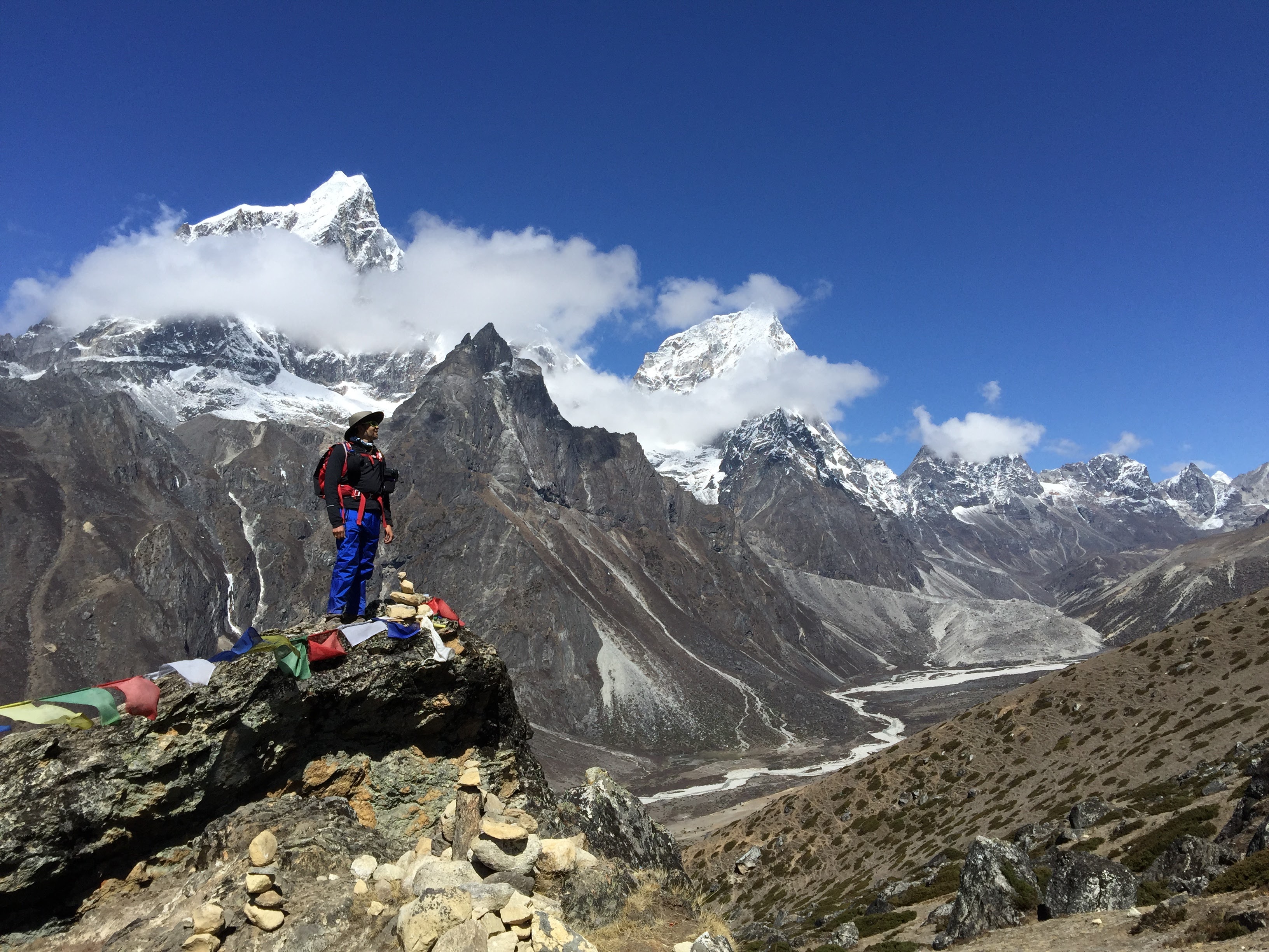
Morning views of the Pheriche valley were simply breathtaking.
You can see Tengboche in the distance. ‘Che” means flat in Nepali. We stopped in Tengboche for a coffee and ended up spending 45min there. Tengboche is where you start getting good cell phone coverage again so we made full use of that and spent some time talking to our families.
After Tengboche it was a steep downhill to Phungi Thenga. This was one of the hardest climbs we had done on the way up so I decided to take my revenge and came running down the slippery, rocky, super steep slope. I covered the distance in 23min. It had taken me 1hr 23min to climb it. I nearly twisted my ankle 3-4 times but the ankle high boots saved me. It was not a very prudent idea to run down but then YOLO ! 🙂
Just as we entered Namche Bazar, we met with our guide Jwala’s friend – Pemashree Sherpa. He has climbed Mount Everest 10 times – the last one was just a few days ago on May 13. He got a frostbite on his right ear and was rushing to Kathmandu. He has also climbed Ama Dablam 13 times. Wow!
We also visited our favorite coffee house in Namche – Cafe Danphe and enjoyed a cinnamon cappuccino again.
Day 11, May 19 2016:
- Start: Namche Bazar. Elevation 3,340m/ 11,286ft. 7:00am
- End: Lukla. Elevation 2,850m/ 9,350ft. 3:25pm
- Elevation loss: ~5,000m / 1,640 ft
- Distance: 21km (13 miles)
- Terrain: Mostly downhill with some uphill climbs mixed in
Final day of our trek. We decided to go all the way to Lukla from Namche. There are only nine of us left at this point.
These are the three peaks of Kusum Khangri
After lunch I picked up speed and reached Lukla fairly quickly – first time I was able to overtake our porters!
Finally reached the starting point of our trek after 10.5 days at 3:25pm
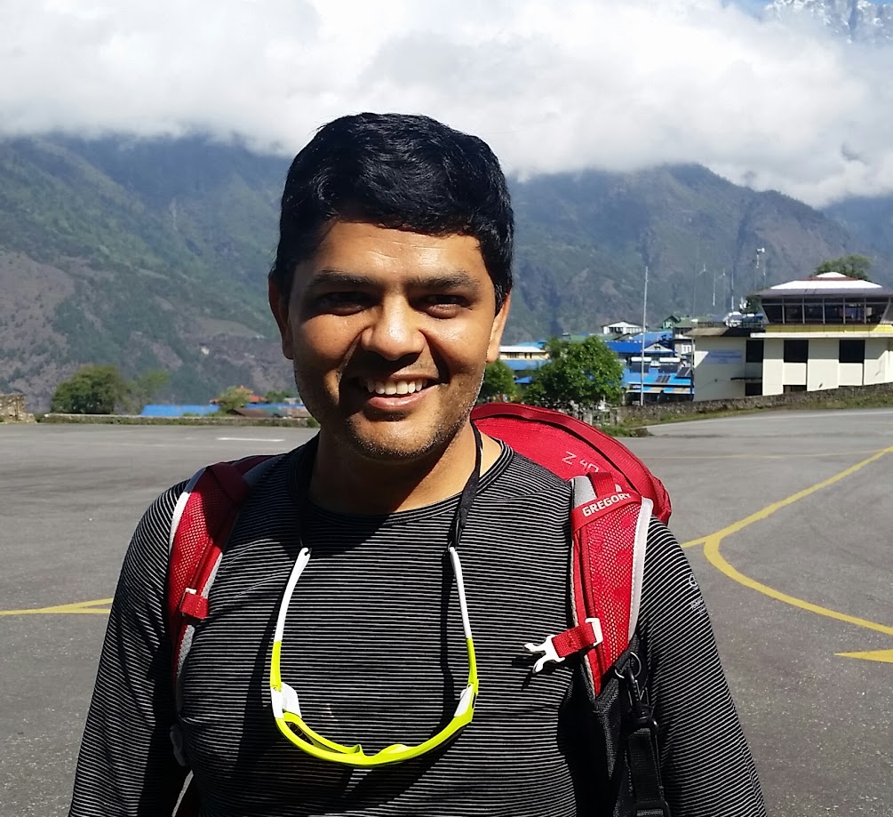
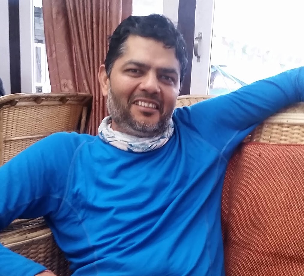
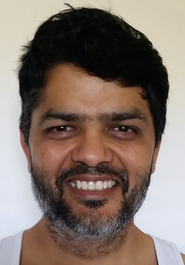
Here is a comparison of my before and after pictures. The difference is only 10.5 days
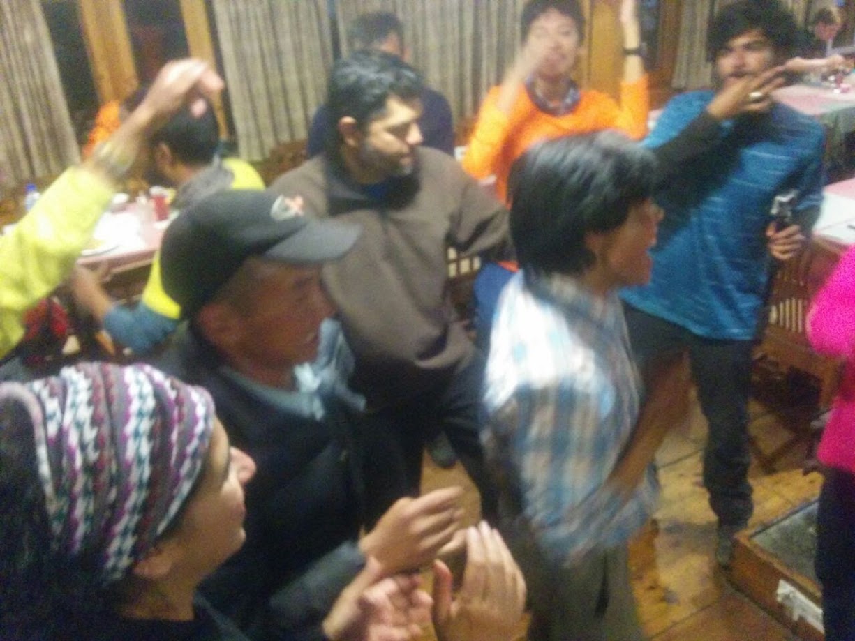
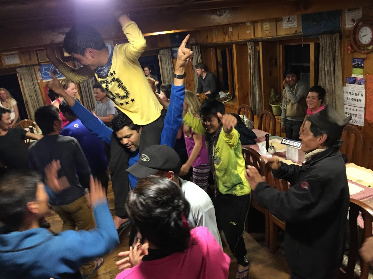
And the celebrations happened in the evening. Impromptu dancing started by our group, joined by other at the lodge. It started with our guides singing some Nepalese songs. Soon it turned into a full blown dance party with songs blaring on the house stereo
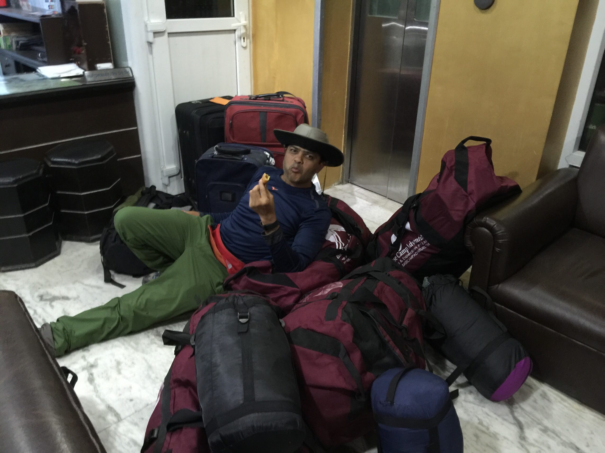
Day 12: May 20, 2016 We got stuck at Lukla due to bad weather. All flights were canceled. Vikas decided to pay extra for a helicopter ride to Kathmandu and left. The rest of us stayed back hoping for a better weather tomorrow. We watched a number of movies and played cards so all in all it was a fun day. Felt really strange to not walk at all after so many days of trekking!
Day 12: May 21, 2016. Weather cleared up today and flights were taking off. We all managed to catch flights to Kathmandu today although not together.
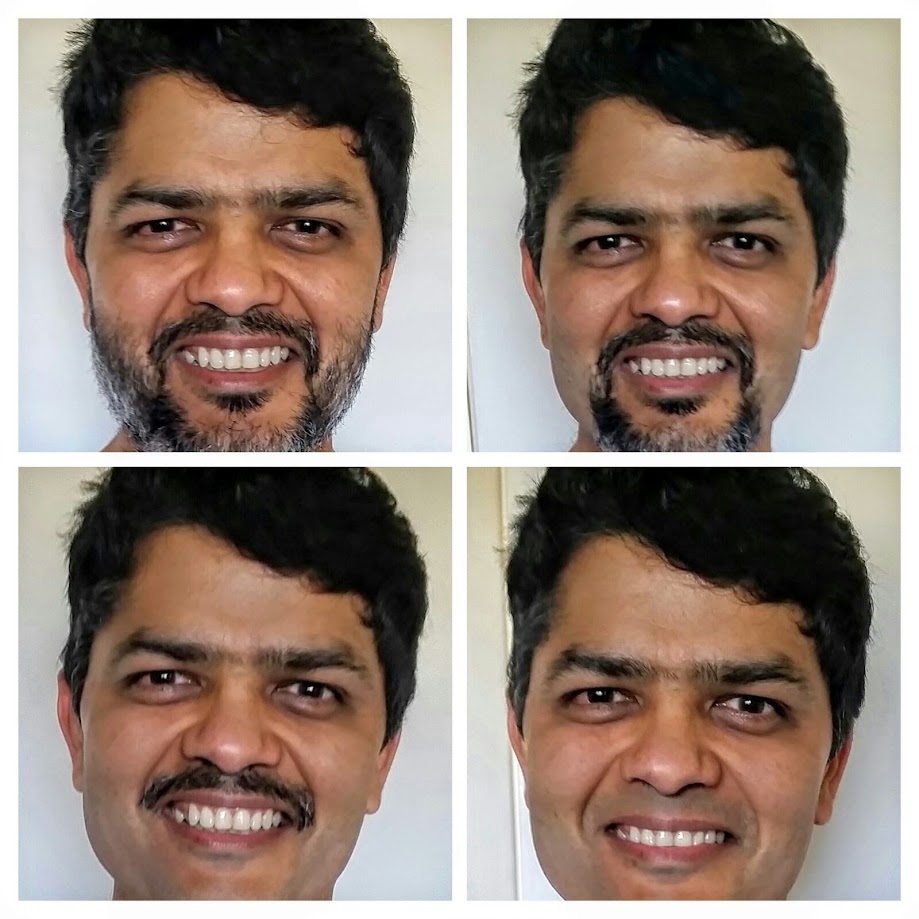
May 25: Home sweet home. Arrived at San Francisco at 11:40am today. I had not shaved yet. I almost expected to be held at immigration because I didn’t look anything like my passport picture. Here’s an animated picture of the final transformation back to normalcy..


")
 – Summary : Aug 11-30, 2021")